
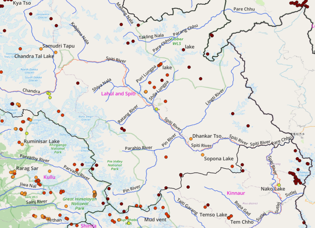
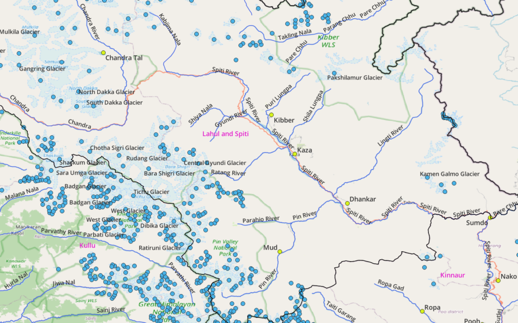
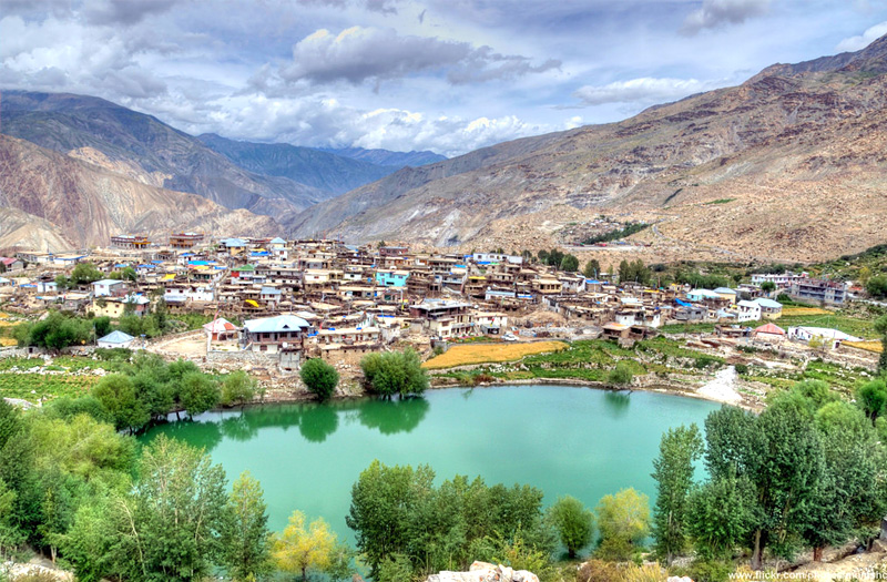
Spiti is a high-altitude region of the Himalayas, located in the north-eastern part of Himachal Pradesh. The name “Spiti” means “The middle land”, i.e. the land between Tibet and India. Spiti is an alpine desert bound by Ladakh (North), China (East), Kinnaur & Kullu (South) and Lahaul (West) and its high ranges are drained by the Spiti river
Geography
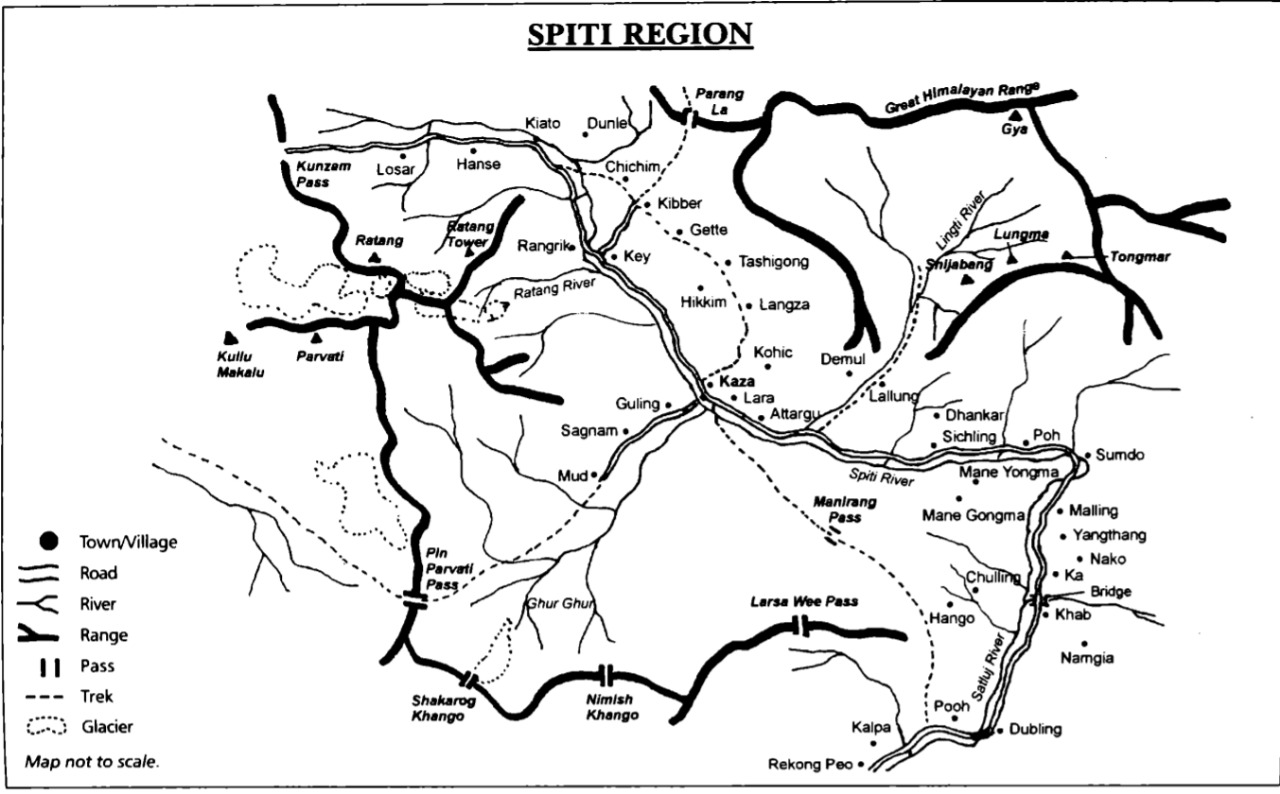
Main Rivers
- Spiti river (Kaza, Dhankar, Tabo, Sumdo). Tributaries: Puri Lungpa (Kibber), Shilla, Lingti, Pin
- Chandra river in Lahaul (Chandra Tal, Batal)
- Pin river (Mud)
- Parang Chu flows towards Tso Moriri into Ladakh
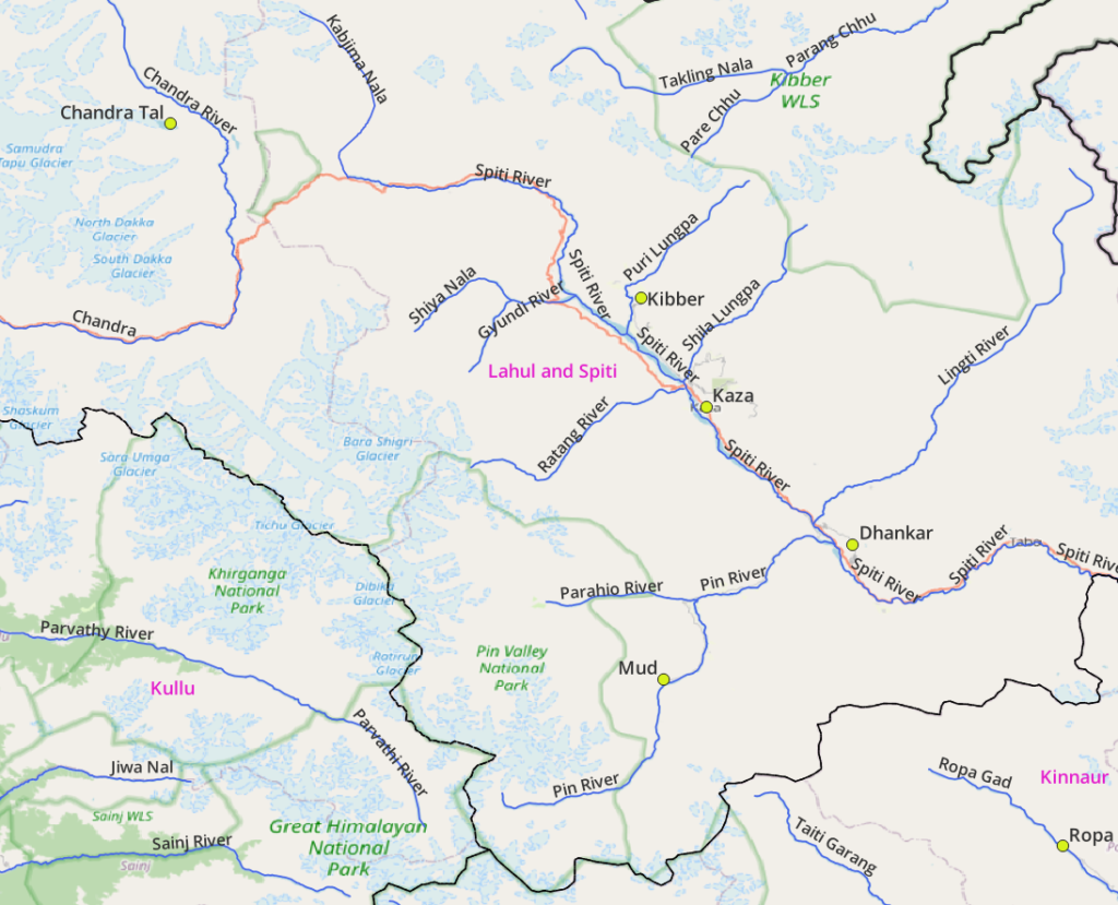
High ranges: Pin Valley National Park, Kibber Wild life Sanctuary, Bara Shigri Glacier
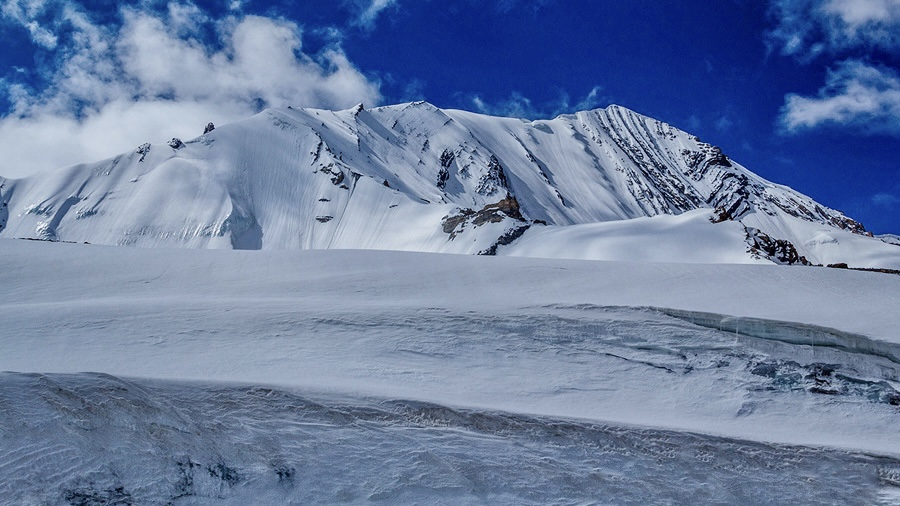
Mountain Peaks
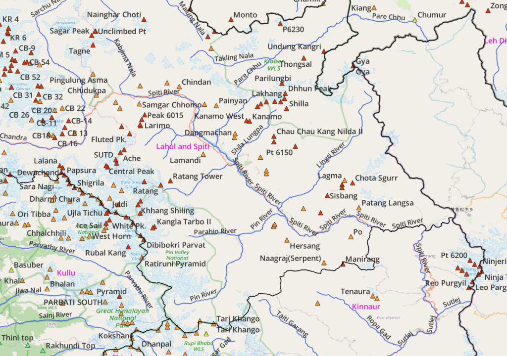
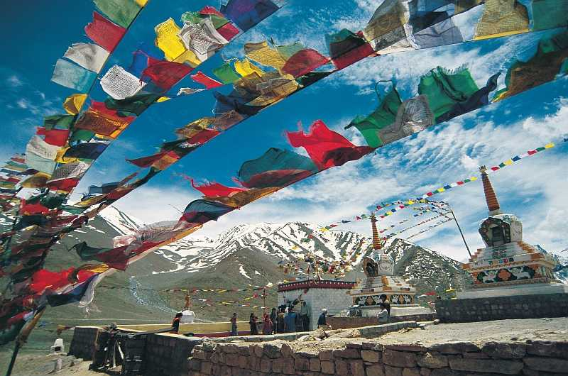
Mountain Passes
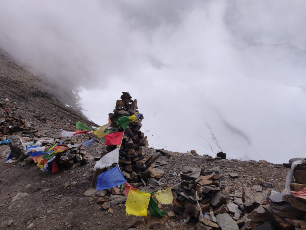
Popular passes include Sara Umga La (Kullu, Lahaul), Parang La (Spiti, Ladakh), Pin Parvathi (Kullu, Spiti), Pin Baba (Spiti, Kinnaur). Still unmapped Larsaway and Manirang (Spiti, Kinnaur)

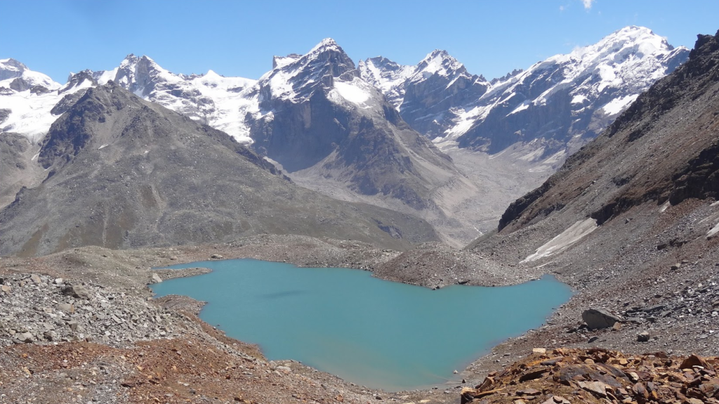
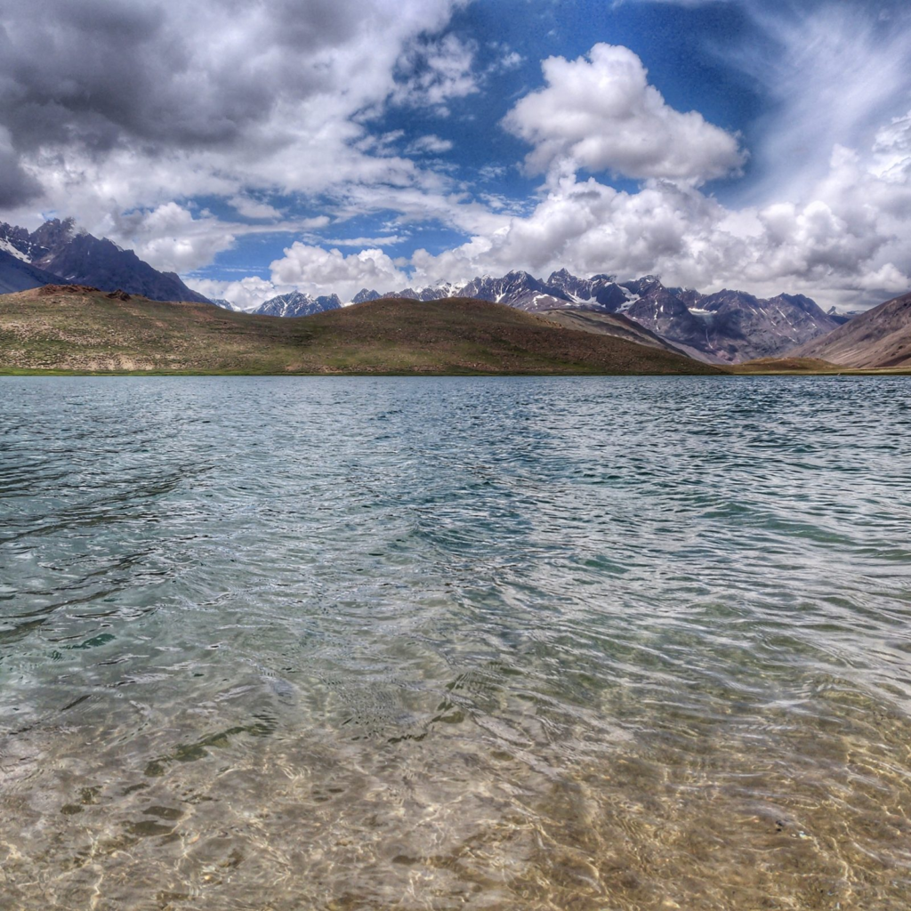
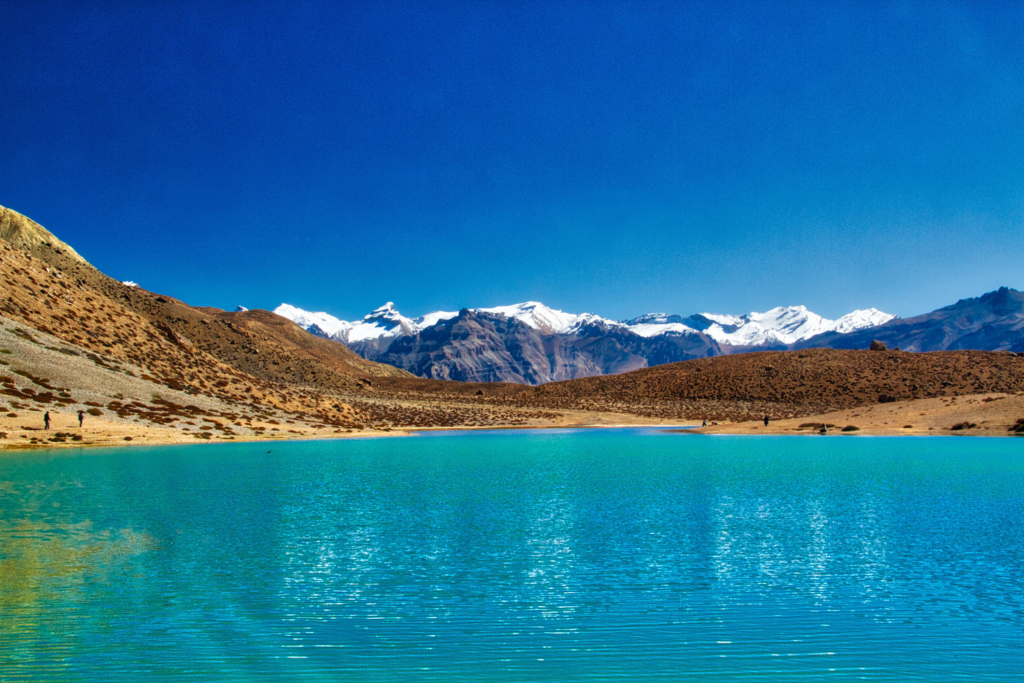
Alpine Lakes
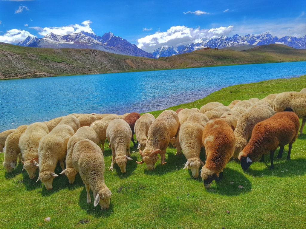
Popular lakes include Chandra Tal (Lahaul), Dhankar Tso, Temso Lake, Nako Lake
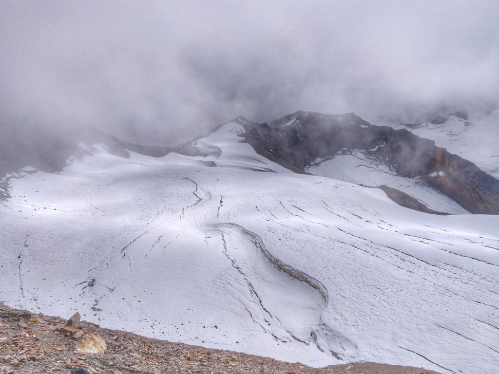
Glaciers
Hiking Routes
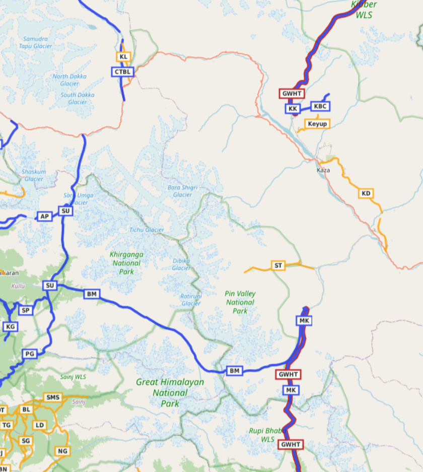
Hiking routes in Open Street Maps (OSM) are categorized in 4 different networks:
- International (red) – long distance paths that cross several countries (or states in case of India)
- National (blue) – walking routes that are nationally significant and long distance paths
- Regional (orange) – walking routes that cross regions and are regionally significant
- Local (purple) – small local walking routes
National Routes (7)
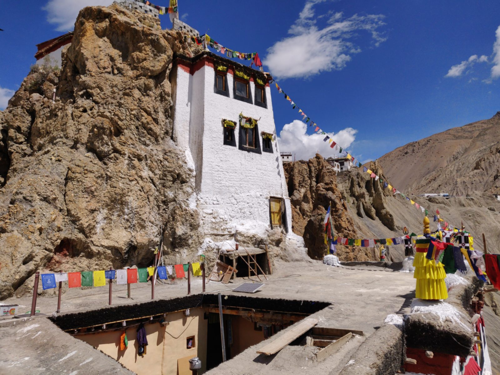
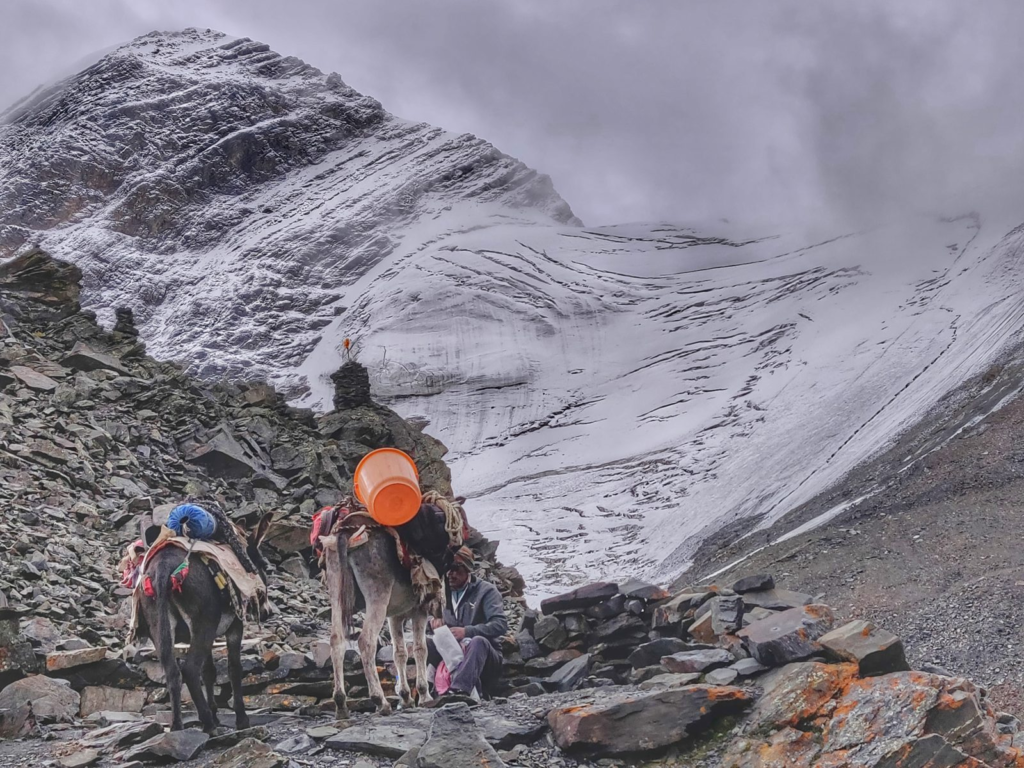
- Kaza to Dhankar 36km / 1900m+ (Spiti) from Key monastery near Kaza we climb up Northeast to Gete village turning East towards Tashigang where we descend into the Shila Lungpa valley and climbing up Southeast through a narrow gorge to Langza. We continue South passing by Hikkim and Komik and contour Southeast via a jeep track climbing across an unknown pass (4770m) to Demul village where we descend into the Petanse Nala (gorge) joining the Lingti river near Samlung. We climb up South from Rama village and contour Southeast above the Spiti river vally towards Dhankar village. Blog post 1. Blog post 2
- Pin Parvati 80km / 500m+ (Kullu, Spiti) starting from Barsheni village in Kullu district we cross the Tos Nal and proceed East on the North bank of the Parvathi river valley crossing over to the South bank after Nakthan village. We continue past the Khirganga hot spring crossing the Bakar Kiara Khol, Tanang Khol, Tundabhuj Khol and Dauns Par Khol side-streams. We cross the Parvathi river again via a big boulder and proceed East along the North bank turning South towards Mantalai (4150m) where we start our ascent East across an unnamed glacier to the Pin Parvathi pass (5310m) where we descend into Spiti across an unnamed glacier into the Pin river valley proceeding East along the North bank of the river and turning North towards Mud village. Blog post
- Pin Bhaba 50km / 2150m+ (Spiti, Kinnaur) starting from Mud village in Spiti we proceed South along the East bank of the Pin river turning into the Tariya Khad side valley ascending South across the Pin Bhaba pass (4900m) West of an unnamed glacier descending into Kinnaur and turning Southeast in the Kala Pani valley turning Southwest into the Wangar Gad (Bhaba Khad) valley crossing the Hichku Garan side-stream and proceeding South along the East bank of the Wangar Gad river to Kaphnu. Blog post
- Sara Umga 37km / 2750m+ (Kullu, Lahaul) starting from Tosh village in the Parvathi river valley we climb up North along the West bank of the Tos Nal passing the Tichu Nal side-stream traversing across the Sara Umga glacier crossing over the Sara Umga pass (5030m) descending into Lahaul across the Chhota Shigri Glacier into the Chhota Shigri stream turning West into the Chandra river valley and crossing over via a ropeway further West. Blog post
- Chandra Tal to Baralacha La 53km / 1600m+ (Lahaul) starting from Chandra Tal lake we proceed Northwest along the East bank of the Chandra river crossing the Tokpo Gongma and Sarchu Nala side-streams (to be crossed early morning when meltwater flow is less in summer) crossing over the Paralatse La South (4970m) and descending North into the Yunam valley to the Baralacha La pass (4930m) along the Manali-Leh highway. Blog post
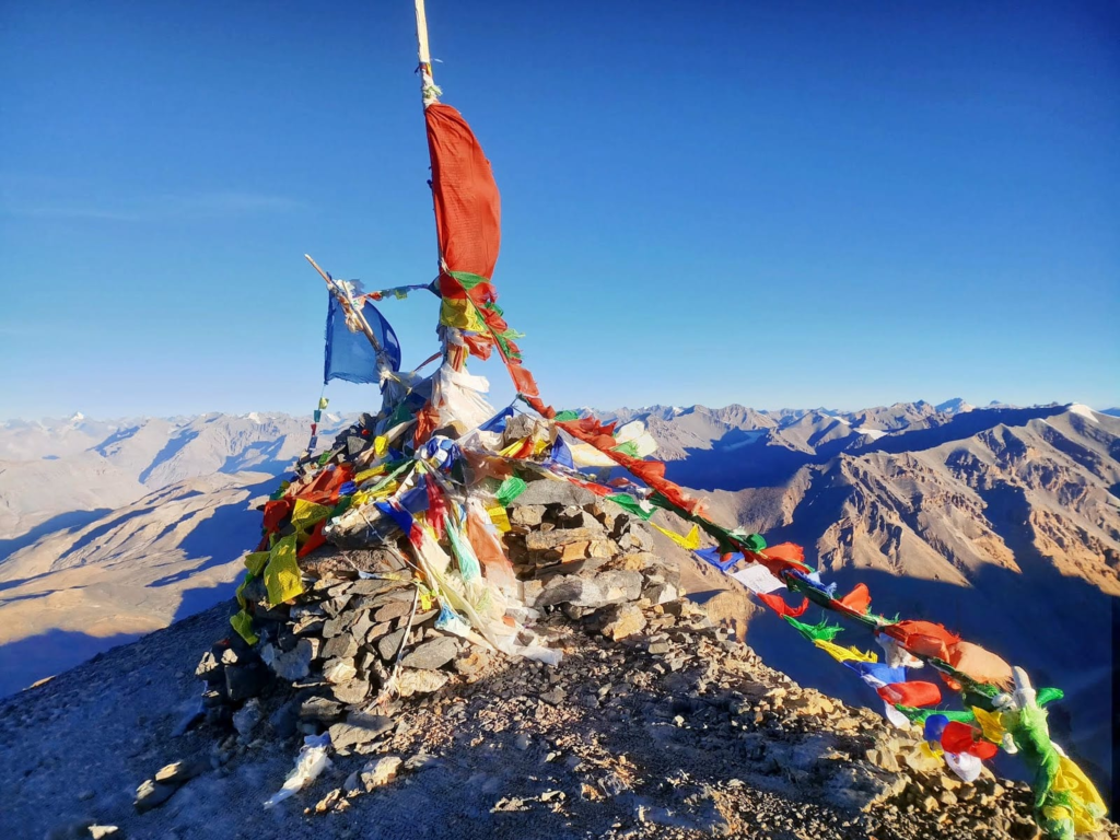
- Kanamo peak 10km / 1750m+ (Spiti) starting from Kibber in the Puri Lungpa river valley (tributary of the Spiti river) we climb up Northeast above the Puri Lunga valley to Kanamo West peak (5980m) overlooking the Puri Lungpa (West), Shila Lungpa (East) and Spiti (South) valleys. Blog post

- Parang La 100km / 2700m+ (Spiti, Ladakh) starting from Kibber in Spiti we head North in the Dumla Nala valley climbing across the Smali La (4700m) into the Rug Lungpa valley where we climb Northeast across the Parang La (5750m) descending unto an unnamed glacier in to the Pare Chhu river valley crossing the Takling Nala and Nishling Lungpa side-streams turning North into Ladakh passing by Tso Moriri lake ending at Karzok. Video blog
Regional Routes (5)
- Key Monastery 9km / 800m+ (Spiti) starting from Key (nearby Kaza) in the Spiti river valley we climb up Northeast above the Yura Lungpa passing the village of Gete and turning North into the Shila Lungpa valley towards an unnamed lake (4840m) near the dwelling of Thinam below the Dumbachain peak
- Kunzum La to Chandra Tal 9km / 500m- (Lahaul) starting at the Kunzum La (4550m) gateway between Lahaul and Spiti we climb up North towards the Balhamo pass (4700m) gradually descending into the Chandra valley passing by various shepherds shelters towards the alpine lake of Chandra Tal (4270m)
- Dhankar Tso 4km / 300m+ (Spiti) starting from Dhankar (3850m) in the Spiti river valley we climb up East and complete a circuit towards Dhankar Tso (Jawale Chu) lake (4130m) from where the Karuk Lungpa flows into the Pin river below
- Khab to Nako 19km / 2250m+ (Kinnaur, Spiti) from Khab village in Kinnaur on the confluence of the Spiti and Sutlej rivers we climb up Northeast into the Sutlej valley turning West to cross over the ridgeline and contour North high above the Spiti valley towards Nako village
- Sangam to Tango 18km / 650m+ (Spiti) from Sangam village on the confluence of the Pin and Parachul Nala rivers we proceed West on the North bank of the Parachul Nala passing the last settlement of Racheka and turning Southwest into the Debsa Kad valley to alpine grazing pastures
References
Navigation
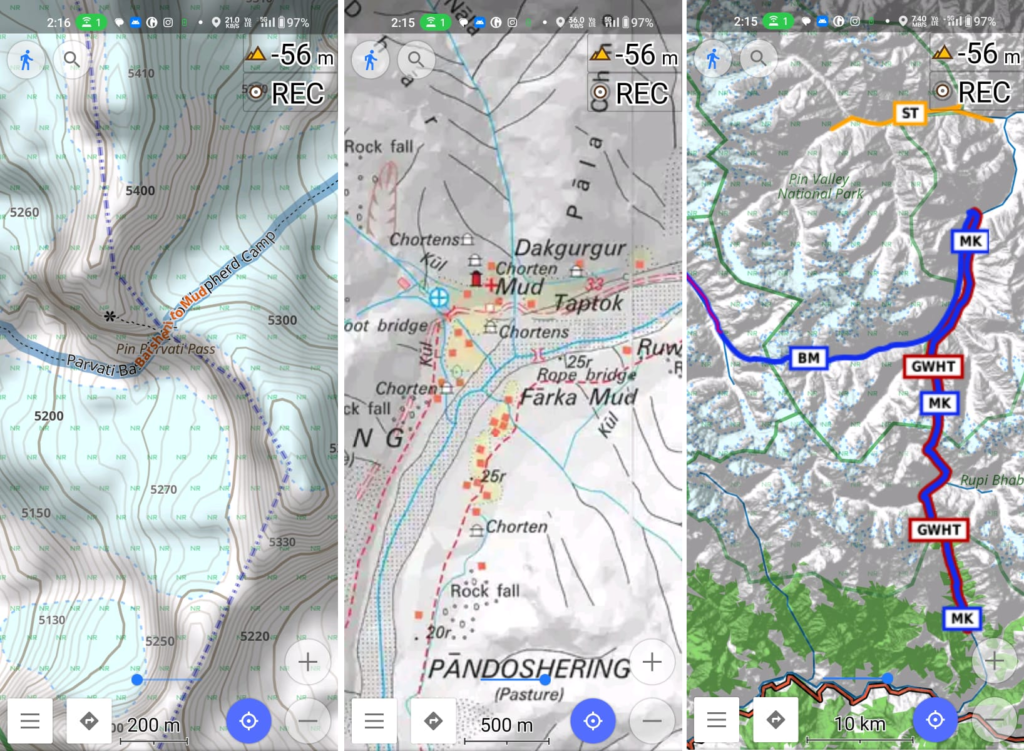
Above traverses can be easily navigated using most mobile mapping apps – many use Open Street Maps as base maps which include tens of thousands of kilometers of trails in Himalayas, Sahyadri, etc. OSM maps can be downloaded on the phone for offline exploration of the mountains without mobile network. Contours can be added to understand the topography of the terrain. Find a short tutorial over here.