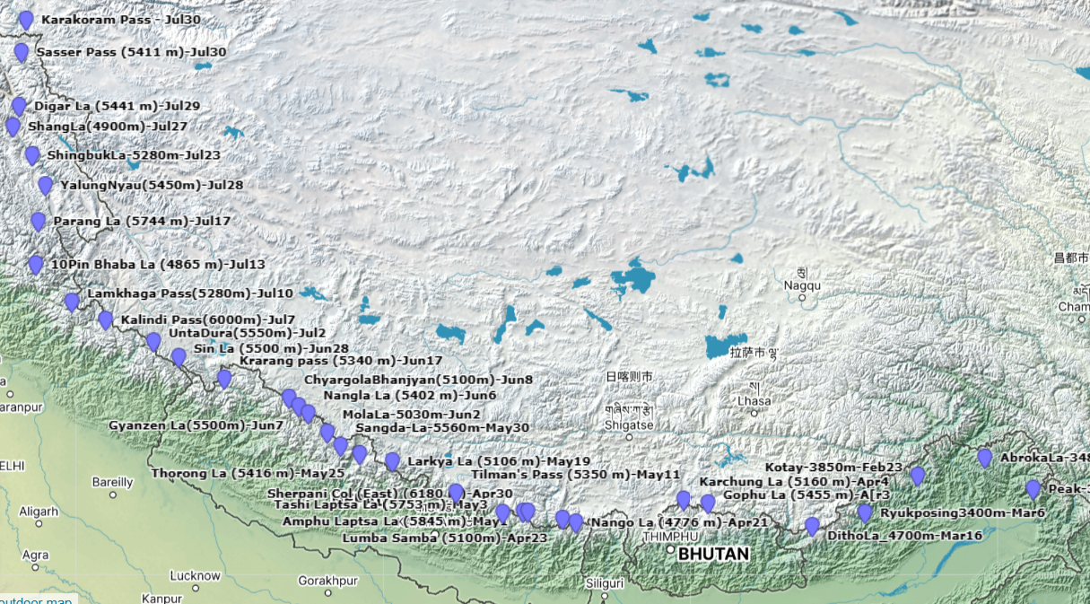
Contents Timeline Click here to download Important Notes Going East to West has two limitations: Route Monsoon May moderate rains…

Contents Timeline Click here to download Important Notes Going East to West has two limitations: Route Monsoon May moderate rains…
In this post we take a closer look at end-to-end planning of a route in the Himalayas. Initial planning of…

While planning your Himalayan hike you need to take into account several aspects: In this post we will take a…

When planning a short hike or longer traverse in the future you need to understand whether you are choosing the…

The Western Indian Himalayas consists of several beautiful regions, each to be visited during the right season. Each region can…

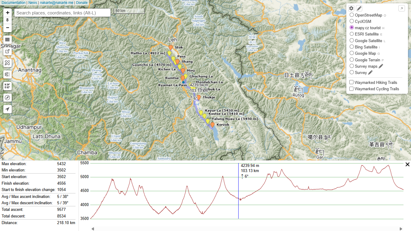
Planning a contiguous long-distance traverse across a vast network of trails on raster maps can be challenging. Survey of India…

On request of Col. Anand S. we planned a traverse across the Eastern Indian Himalayas in Arunachal. As no trails…

1. Introduction In this blog post we guide you on how to plan a long distance hiking trail through the…

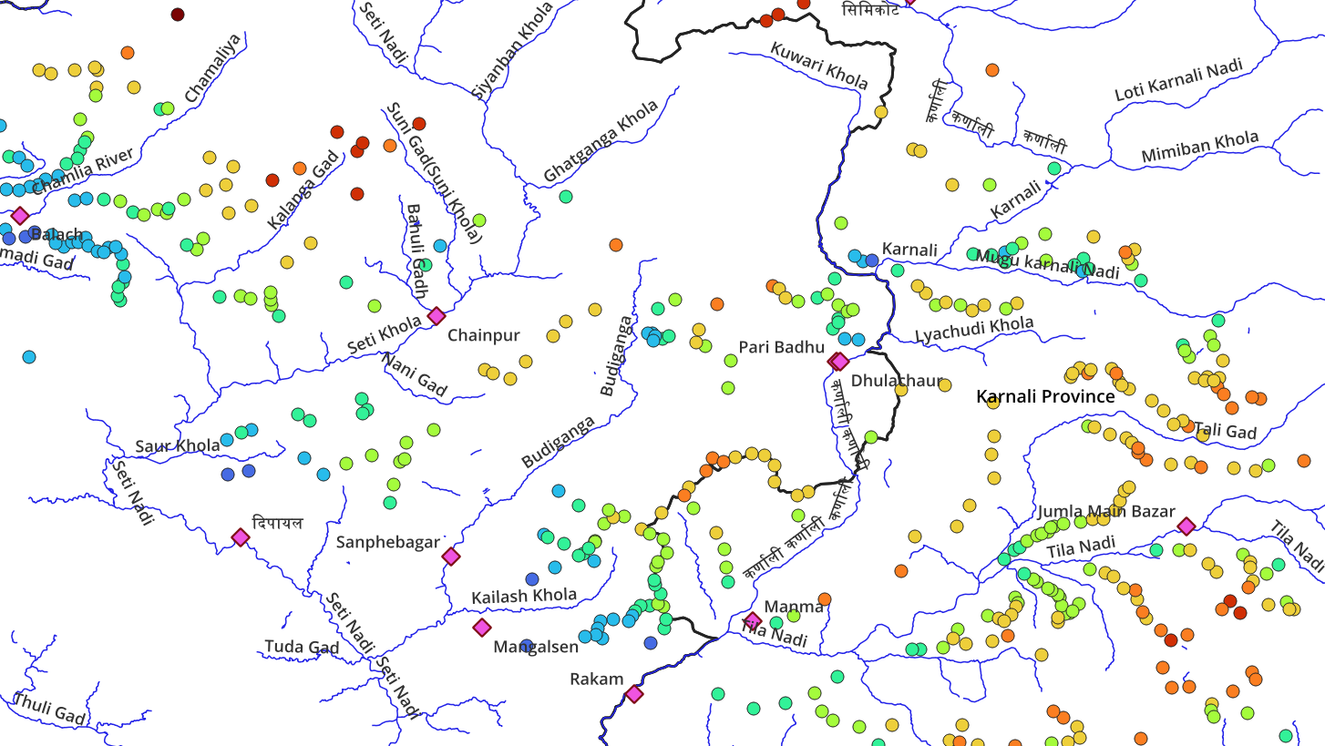
Hiking Network Open Street Maps has more than 750 hiking routes totaling 13 thousand kilometers of scenic trails across the…
To plan trans Himalayan traverses hikers require a good understanding of the topography (geography) of the region: major valleys (rivers)…