
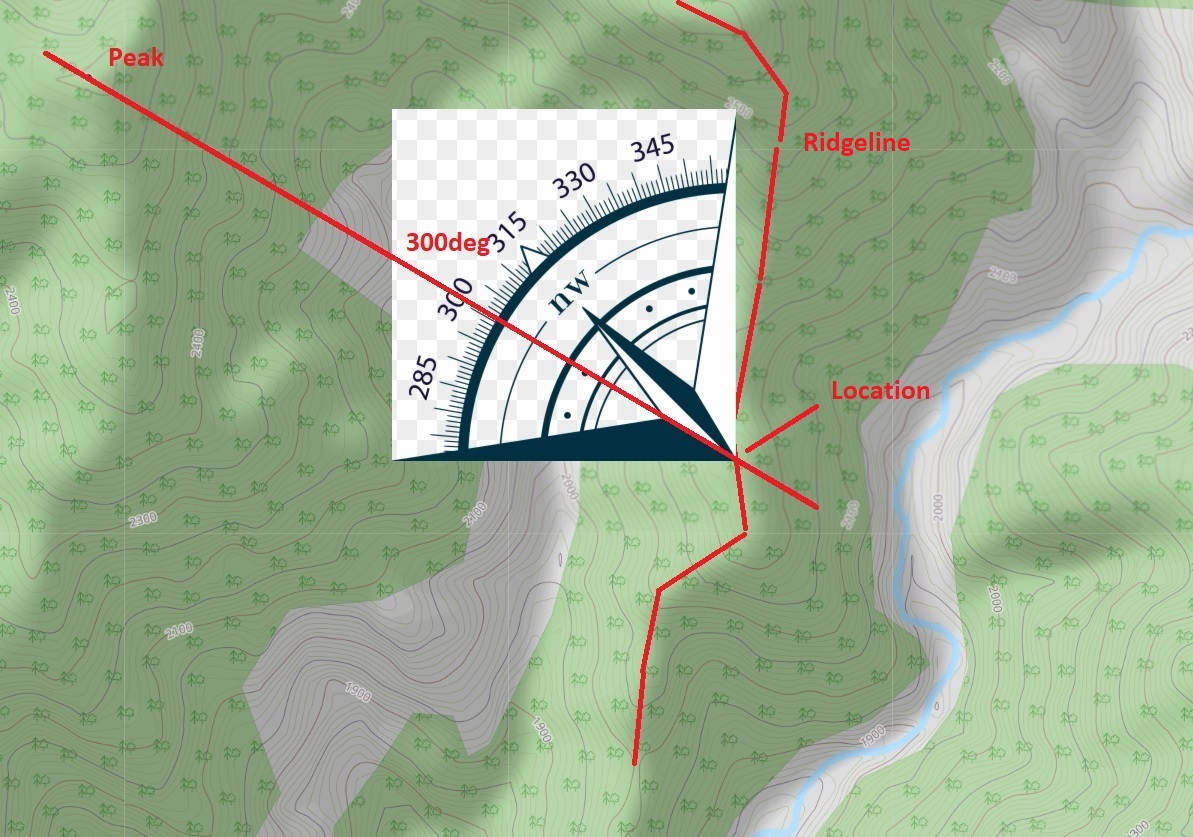
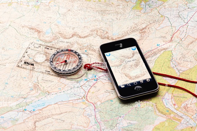
Yet another way to navigate across a mountainous terrain is by using a compass or altimeter. One can correlate his…
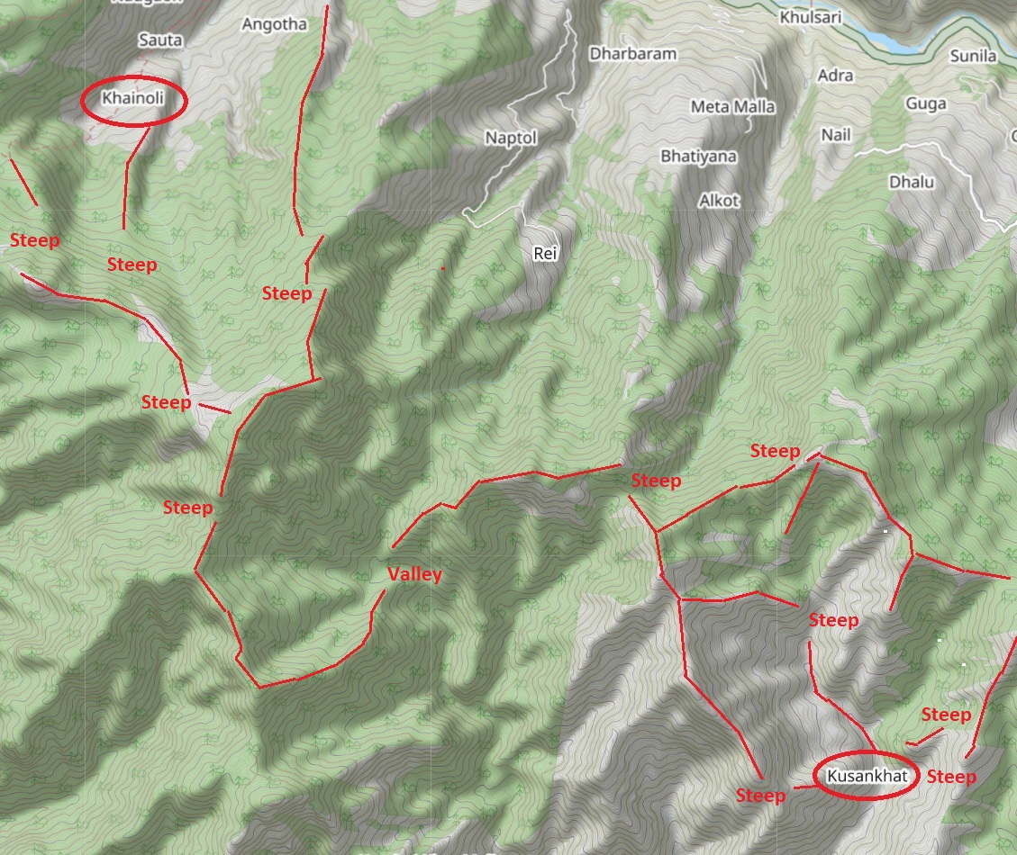
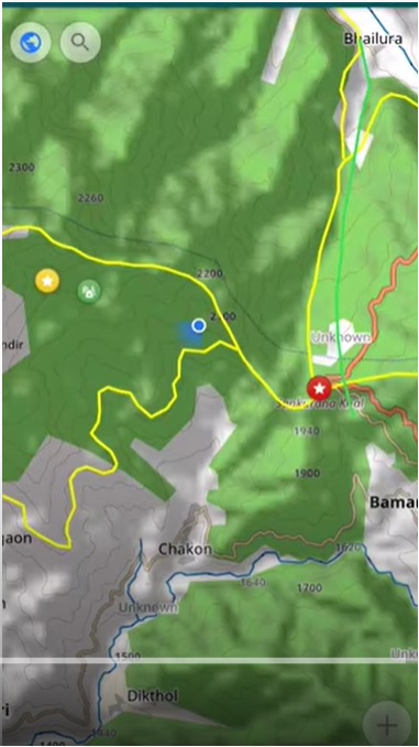
When you don’t have a map with trails or GPS log there’s another way to make your way across the…
When visiting Ladakh you’ll encounter many Europeans navigating with large size Olizane paper maps (scale 1:150K). Olizane maps have been…
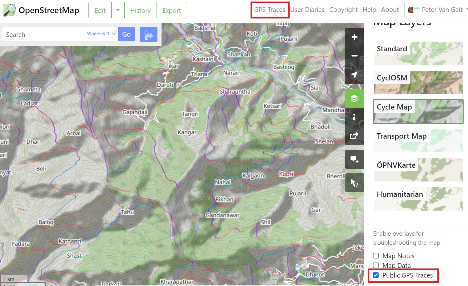
Another popular way to navigate is using GPS recordings of hiking routes (GPX format). There are many web sites /…
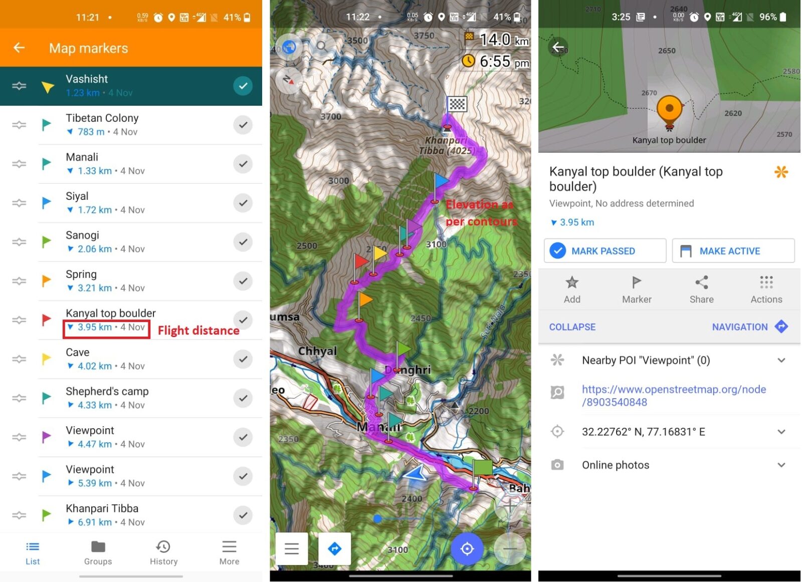
In this chapter we will familiarize ourselves with mobile navigation and route planning through OSMAnd using Open Street Maps (OSM)…
Congratulations for completion Chapter 1 where we learned about the Geography of the Western Himalayas, Topography (Contours) and various detailed…
Open Street Maps based exploration of the Himalayas
Loading…