
Alpine Hiking Bootcamp. This DIY course consolidates my extensive alpine hiking experience exploring more than 300 high passes across the Western Himalayas. 50+ modules will familiarize you with important concepts to become an independent alpine explorer through theory and hands-on assignments. Map reading and route planning, navigation techniques, planning an alpine journey, fast hiking and lightweight gears, Himalayan terrains, GIS analysis of Himalayan geography and hiking trails, Open Street Maps, etc.
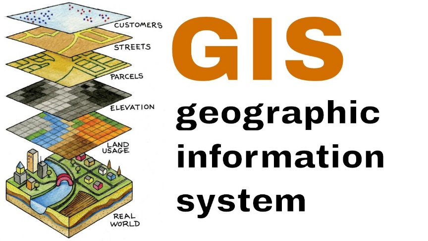
Himalayan Geography & GIS. In this online training series we combine the power of GIS (Geographic Information System) with OSM (Open Street Maps), one of the most complete repositories of the Indian Himalayas. GIS+OSM is a powerful combo to study and analyze the geography of the Himalayas and plan your traverses across multiple passes in detail on your laptop before you head out in the mountains. We also cover DEM (Digital Elevation Model) to study the topography and plan seasonal traverses.
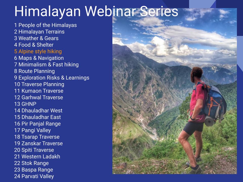
Alpine Style Hiking. This 10 module webinar teaches you to independently hike in the Himalayas. It covers human settlements, Himalayan terrains, Weather & Gears, Food and Shelter, Alpine Style Hiking, Maps & Navigation, Fast Hiking and Minimalism, Risks & Learnings of Solo Exploration, Himalayan Traverse Planning.
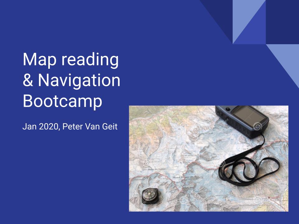
Map reading & Navigation Bootcamp. This 10 module webinar introduces you to map reading and navigation. It covers Open Street Maps, Creating your own maps, Himalayan maps, GPS, geo-referencing maps, planning using Satellite maps, contours and topography, digital elevation models and traverse planning.
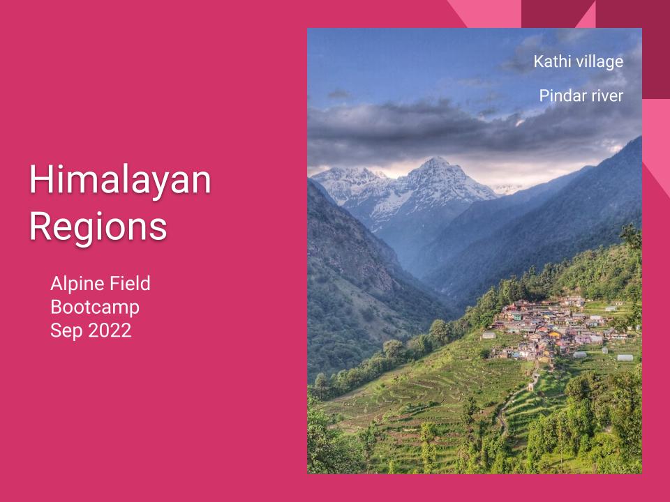
Himalayan Regions. This 17 module webinar takes you across as many regions throughout the Western Indian Himalayas including Garhwal & Kumaon, GHNP, Dhauladar, Pir Panjal, Pangi valley, Tsarap valley, Zanskar range, Spiti valley, Ladakah Spanging and Stok ranges, Baspa range, Parvathi valley, Manimahesh, Lug & Barot valleys and Chamba valley.
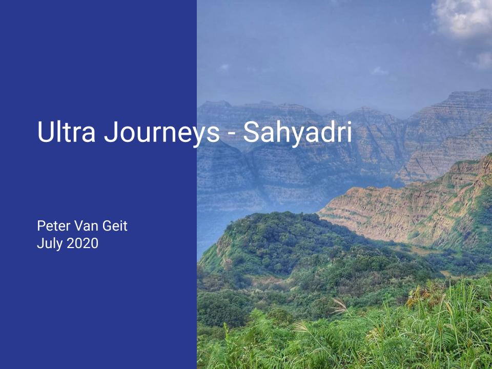
Sahyadri Regions. This 14 module webinar introduces you to as many regions across the Sahaydri mountain range in Maharastra including Lonavala-Naneghat, Harishchandragad-Bhandardhara, Matheran, Pune-Lonavala, Mahabaleshwar, Ajanta and Satmala ranges, Dolbari range, Trimbak range, Igtapur-Dubere, Harishcandragad range, Pawna-Mulshi range, Mumbai South and North, Konkan coast, Satara region.
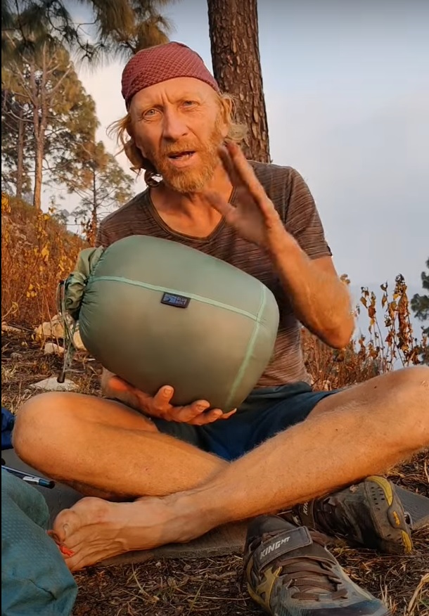
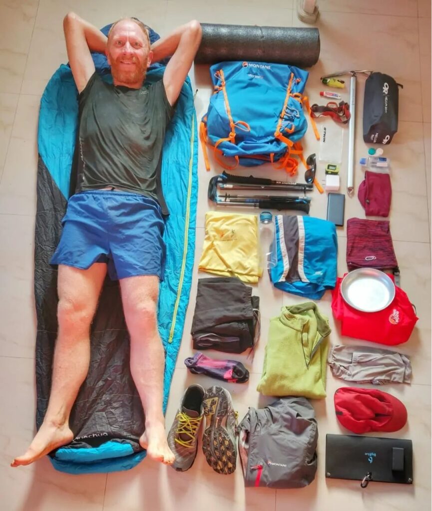
Winter Gear Review. This 5 module video series explains how to hike ultra light even during a winter traverse. It covers minimalist tent, sleeping bag, backpack and trail running shoes.
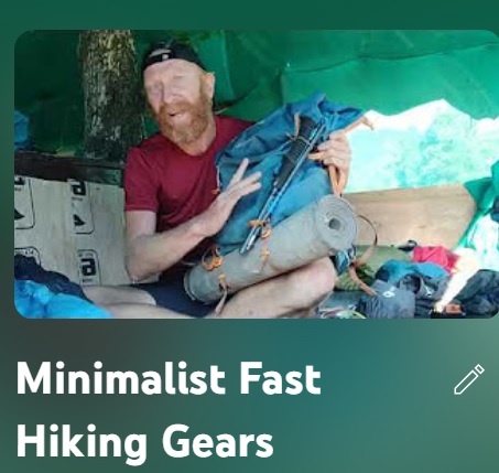
Minimalist Gears. This 4 module video series explains how to hike ultra light. It covers several aspects including minimalist gears, night shelter, food & cooking and low altitude ultra light hiking.
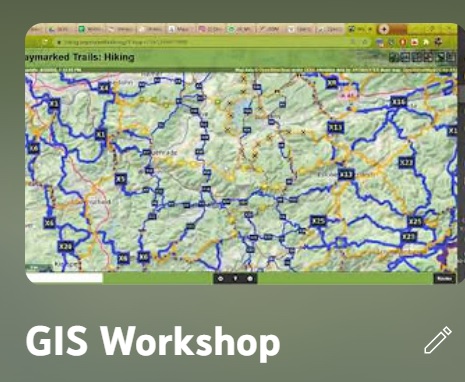
Geographic Information Systems. This 3 part webinar takes a more technical look at various topics including Open Street Maps (data model, interfaces, mobile apps), Hiking Routes (geo-coding, elevation profiles, databases, guides), Maps of the Himalayas (satellite maps, Olizane, Survey, AMS, Leomann, Soviet…), Quantum GIS (geo-referencing, digitizing, DEM, contours, geo-processing, web maps, atlas)
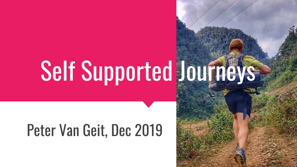
Self Supported Journeys. A 3 part webinar on how to plan a self supported run or cycle tour through the mountains. Why and challenges, planning and routes, gears and schedule
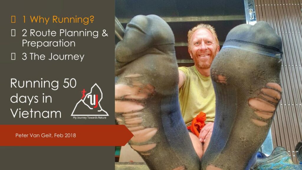
50 Days Running in Vietnam. A 3 part webinar on my 50 days 2000km solo ultra run through the Northern mountains of Vietnam. Why running?, Route planning & preparation and the actual journey.

Social Media. A 4 part webinar on how to build a network on Social Media. Create content, organize data, share and engage the audience and analyze your metrics