Link to the full journal.

Link to the full journal.
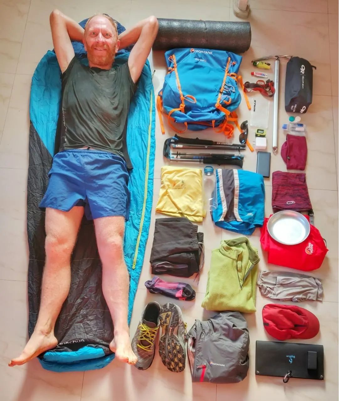
Alpine Hiking Bootcamp. This DIY course consolidates my extensive alpine hiking experience exploring more than 300 high passes across the…
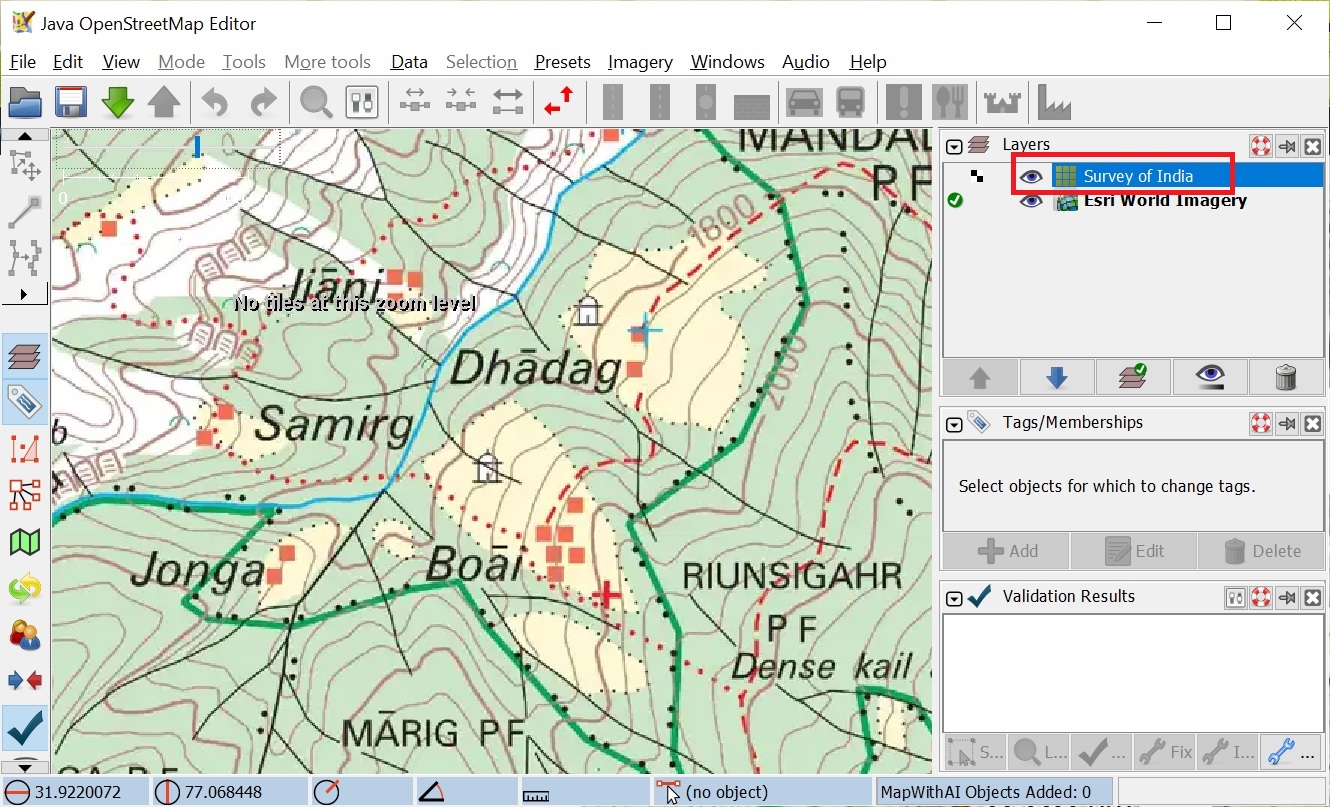
In this step-by-step tutorial I provide a quick overview on how to map human settlements in Open Street Maps. Settlements…
Recently a friend of mine asked me to suggest a nice 3 day / 2 night Himalayan traverse for him…
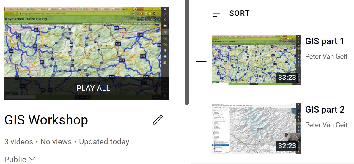
Open Street MapsData modelViewers, OpenTopo, Thunderforest, EditorsHiking – waymarked trails, brouter.deMobile apps, OSMAndHiking RoutesGeo-coding waypoints, trails, GPXElevation profileBlogs, Wikiloc, Ramblr,…
Open Street Maps This post provides a step by step tutorial on how to start hiking in the Himalayas. Focus…
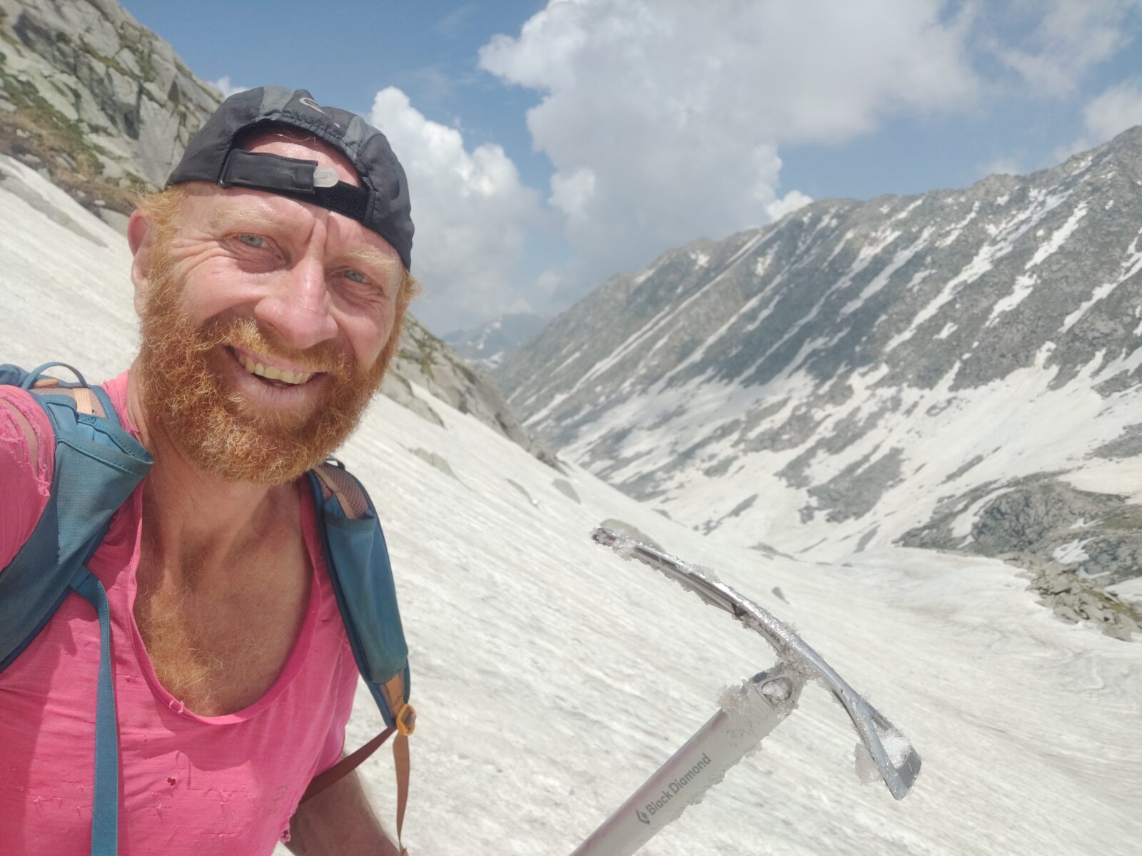
This online course consolidates my extensive alpine hiking experience exploring more than 300 high passes across the Western Himalayas. 50+…
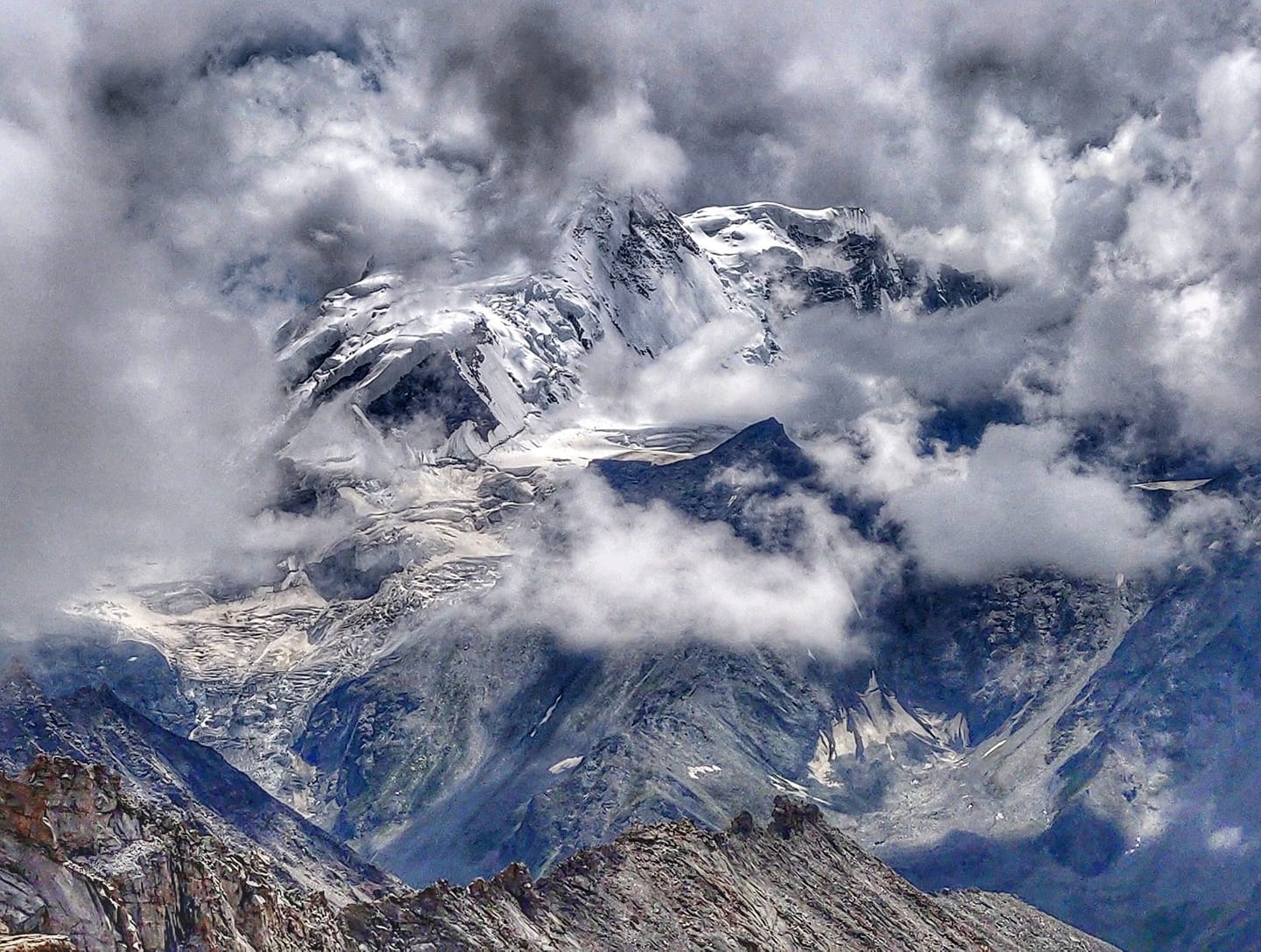
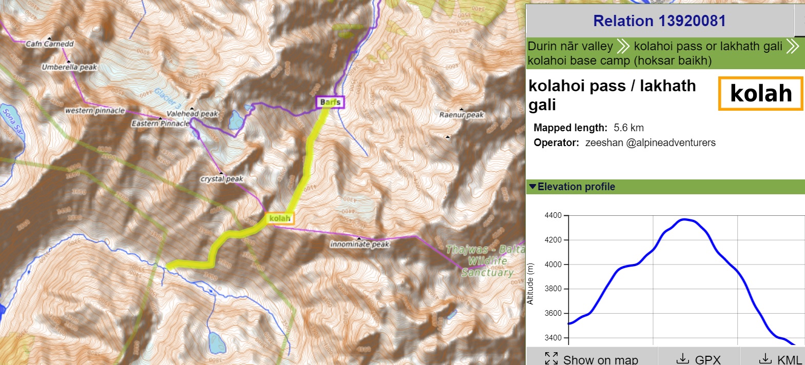
The lack of accurate, detailed maps have always hampered independent hikers to explore the Himalayas. Initiated during the 2020 lockdown…
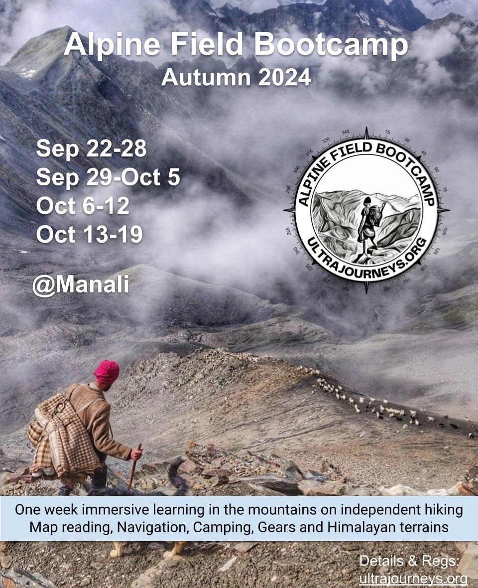
Schedule Spring 2024 (Apr-May) – Closed Autumn 2024 (Sep-Oct) – Register Objective The Alpine Hiking Bootcamp was started in 2022…
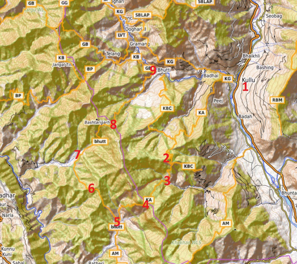
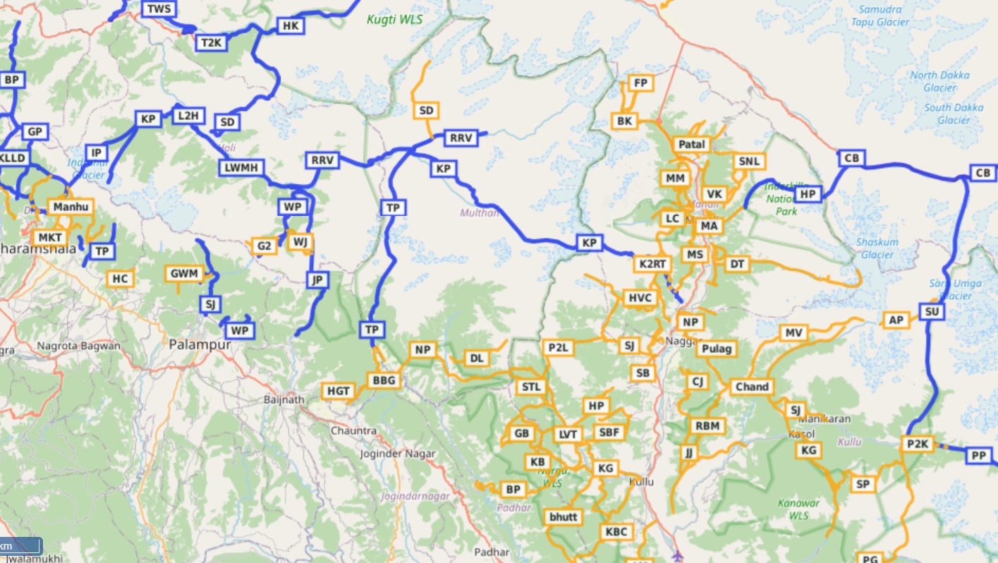
Previous Part 3 7. Trails & Hiking Routes Jammu & Kashmir has tens of thousands of beautiful trails connecting remote…