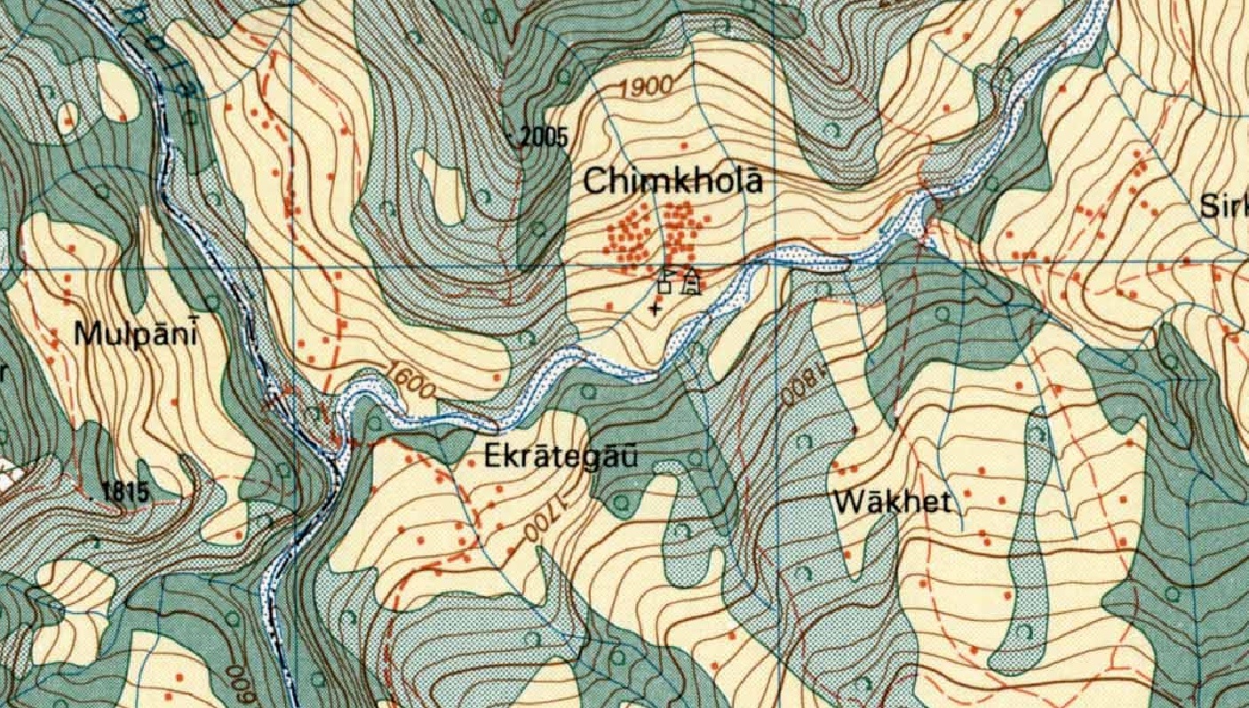
While assisting Jeremy Bige on planning a route through Nepal I stumbled upon detailed 1:50K/1:25K topo map sheets for Nepal over…

While assisting Jeremy Bige on planning a route through Nepal I stumbled upon detailed 1:50K/1:25K topo map sheets for Nepal over…
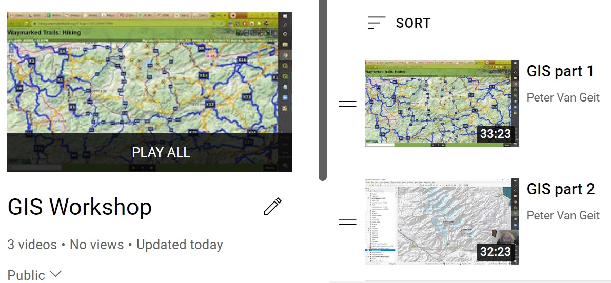
Open Street MapsData modelViewers, OpenTopo, Thunderforest, EditorsHiking – waymarked trails, brouter.deMobile apps, OSMAndHiking RoutesGeo-coding waypoints, trails, GPXElevation profileBlogs, Wikiloc, Ramblr,…
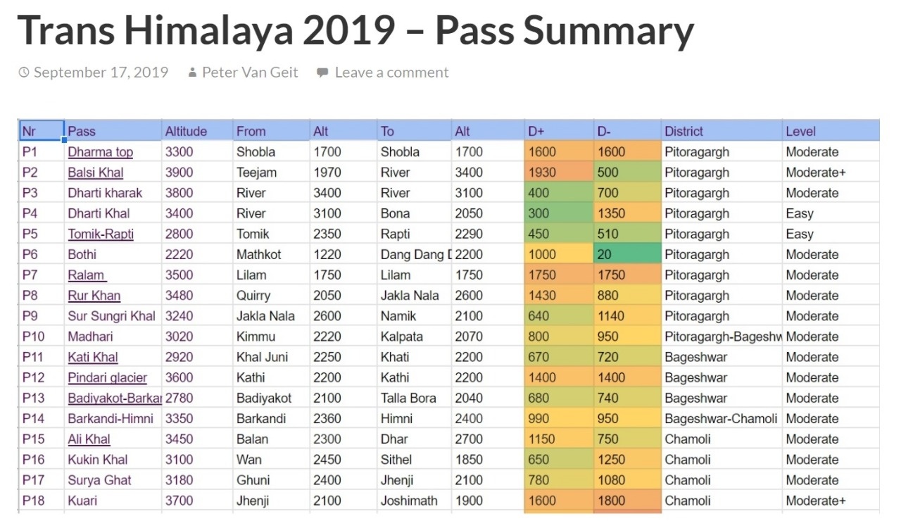
Due to heavy snow fall this winter the higher passes (150 I planned, see earlier post) in the Himalayas would…
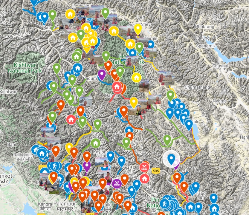
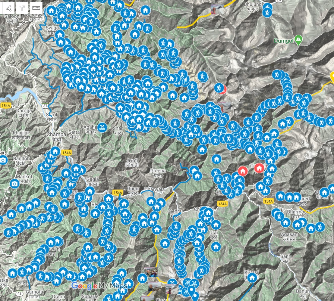
Master Map Planned 2020 (150)Green – Olizane mapsPurple – Open Street MapsBlue – Others Completed 2019 (120)ImagesYellow Completed 2018 (40)Red…
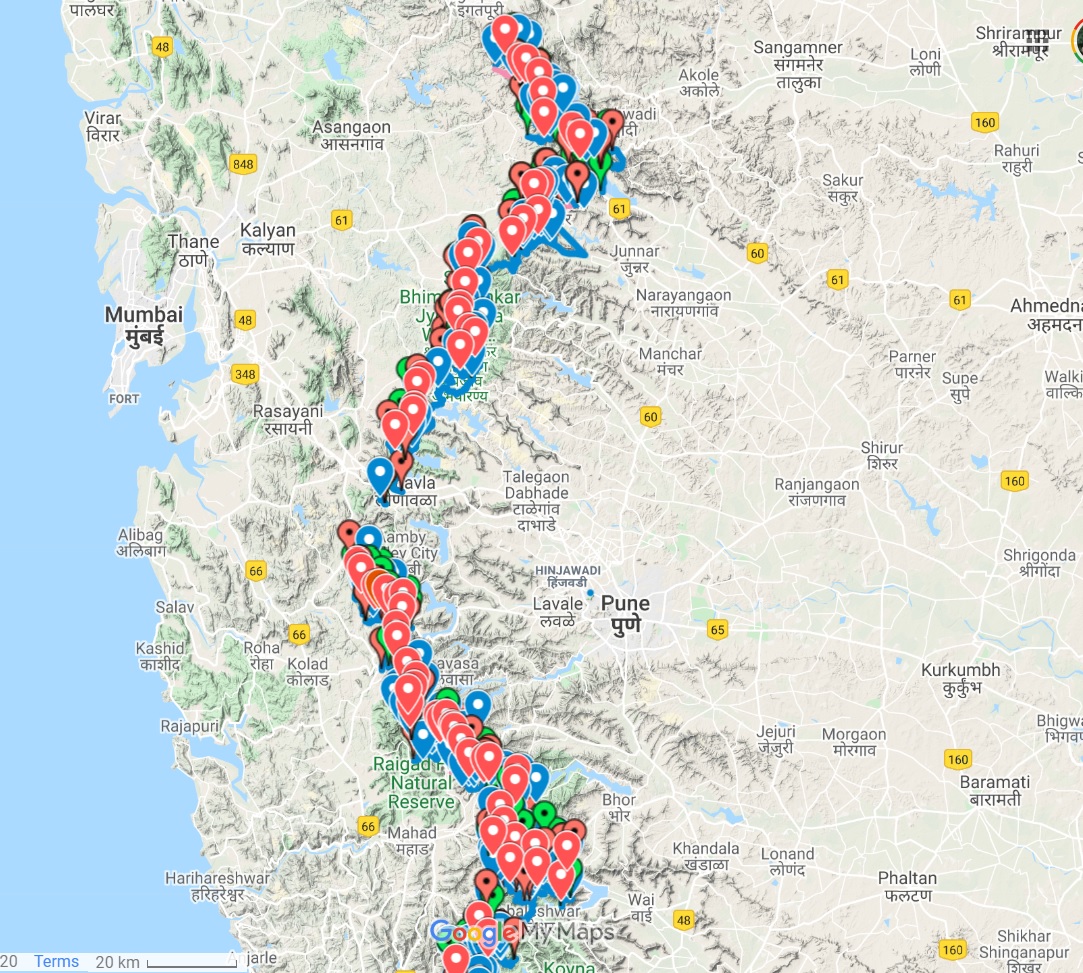
Fast hiking 100 traverses between Deccan plateau and Konkan plains along the Sahyadri post monsoon 2020
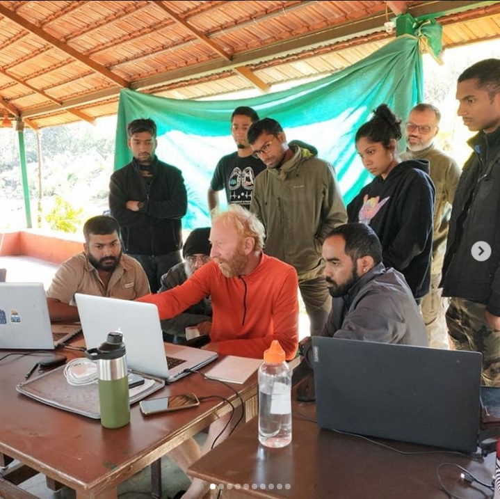
View this post on Instagram Wonderful weekend sharing my decade of experience in exploring South Indian jungles and high passes…
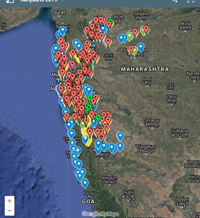
Summary map showing all 120 passes crossed during my 4 months journey through geo-tagged photos on a topographic map. The…