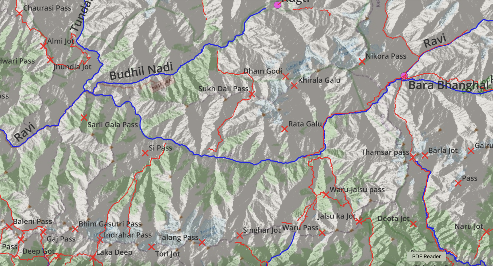
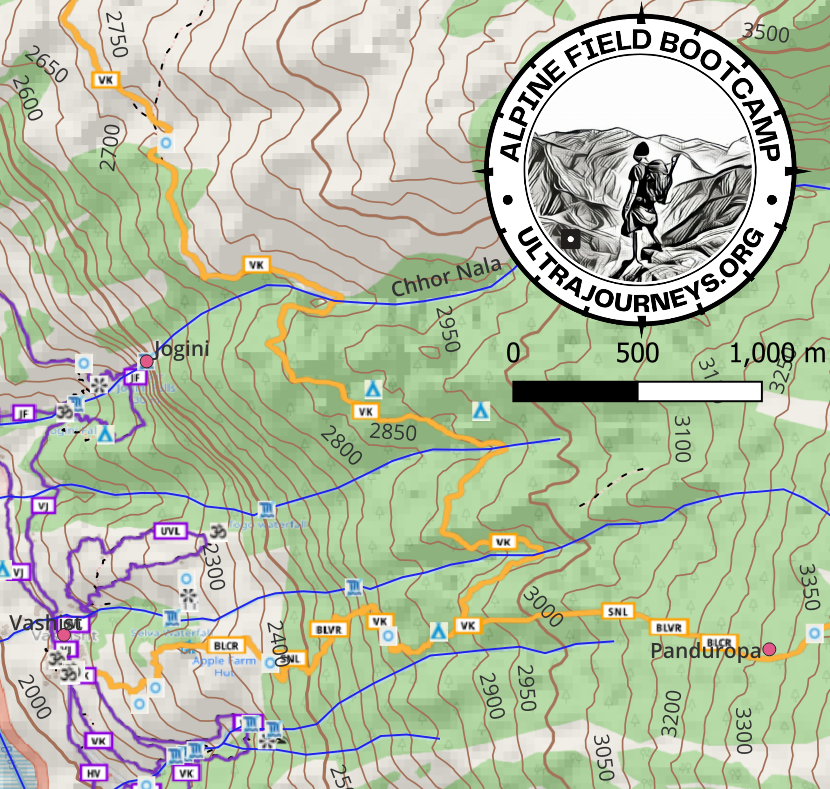
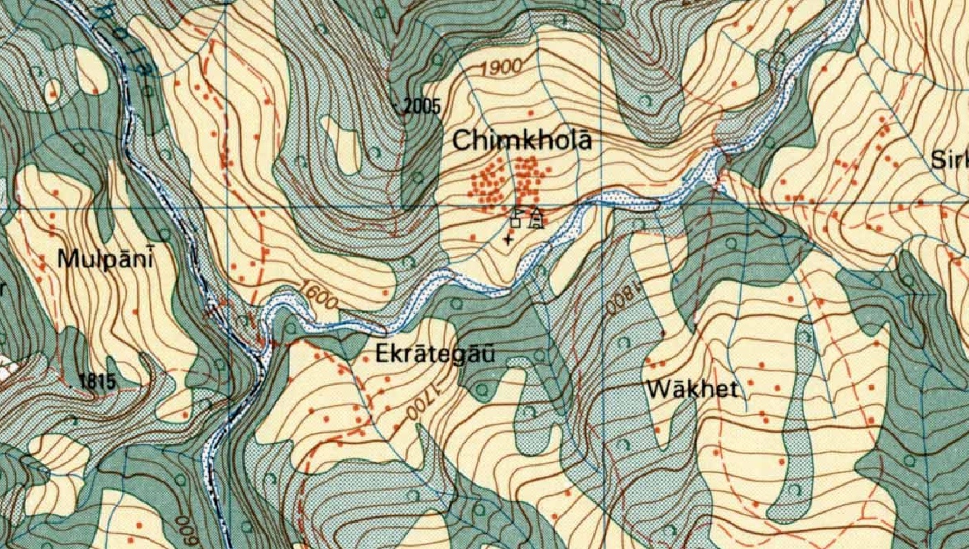
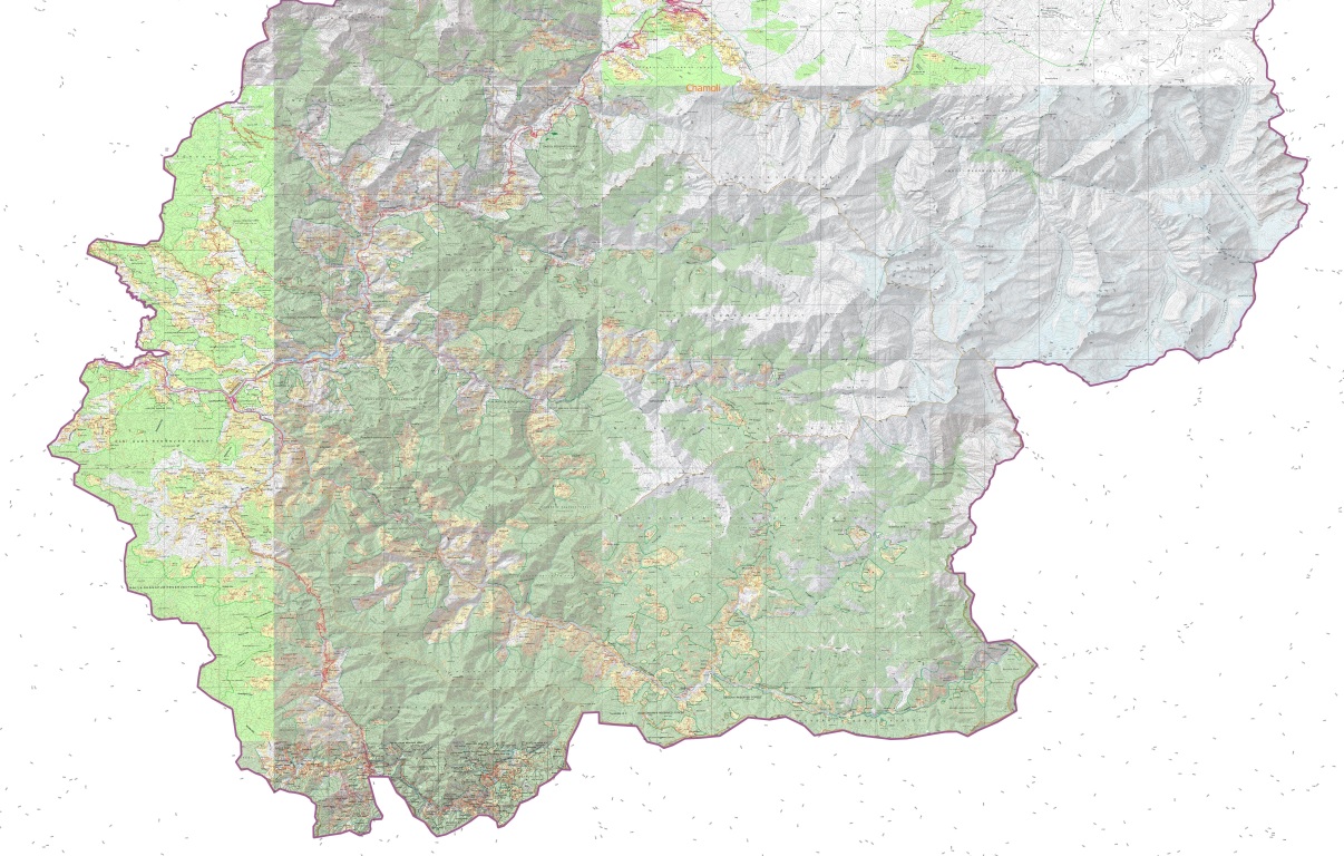
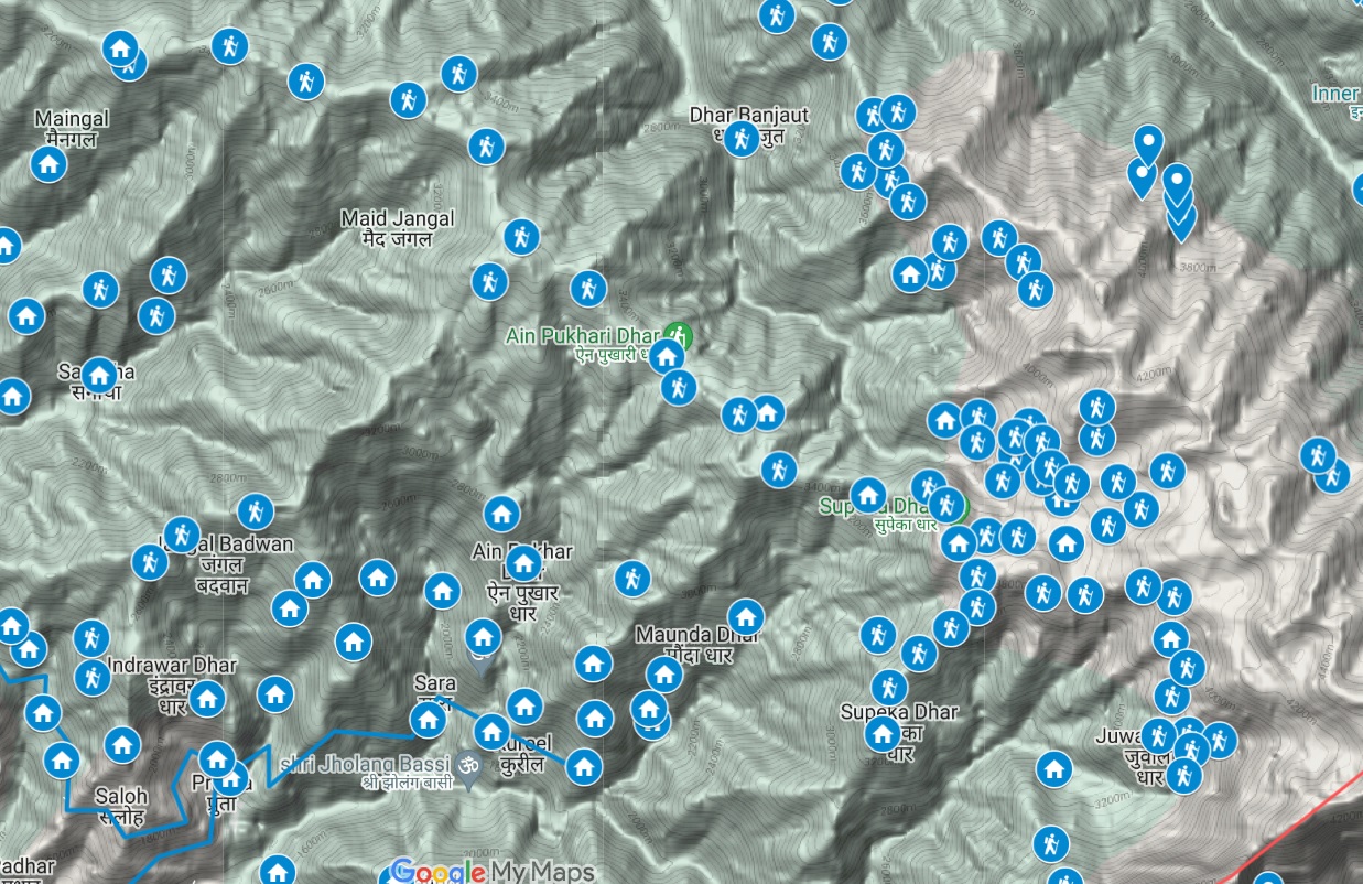
Find below high resolution elevation maps of the 11 major basins of the Western Indian Himalayas showing 160 base towns, 100 major rivers, 800 OSM hiking routes, 500 mountain passes and 1400 peaks. Can be printed in color on A3, A2 sizes and put on the wall to study the Himalayan geography and plan your next Himalayan traverse. Beas Alaknanda Indus Yamuna_Bhagirathi Spiti Ravi Chenab Sutlej Jhelum Shyok Sharda
Hires topographic elevation maps of 11 major basins of the Western Himalayas showing major rivers, main towns, peaks, mountain passes.…
Find below different shaded relief maps providing unique views of the Himalayas: Maps were generated via QGIS using OSM data,…
Click below to download a 1:400K scale shaded elevation map of the Western Himalayas (7 longitudes x 7 latitudes) using…
Maps usually show geopolitical boundaries: countries and provinces. A more meaningful view of the mountains is as per its natural…
For the Alpine Field Bootcamp I generated a few high resolution topographic maps for the 4 states of the Western…
Click below to download a high resolution A3 sized 1:25K scale topographic map of the Manali region showing all hiking…
While assisting Jeremy Bige on planning a route through Nepal I stumbled upon detailed 1:50K/1:25K topo map sheets for Nepal over…
The Western Indian Himalayas consist of 4 states (Himachal, Ladakh, Uttarakhand, Jammu & Kashmir) and 40 districts: Find here high resolution maps for each district which can be used for planning your Himalayan traverses. These maps contain a wealth of terrain details for the outdoor community:
Below maps are blueprints for potential future Himalayan exploration. A humongous effort went into identifying unexplored trails and settlements using…


