
In recent years more than 600 Himalayan hiking routes have been accurately GPS recorded and digitally mapped in Open Street Maps (hiking.waymarkedtrails.org). Totalling 15 thousand kilometres these routes can be downloaded and used for offline navigation by the international hiking community. This extensive hiking network spans the entire breadth of the Western Indian Himalayas enabling the alpine community to plan continuous trans-Himalayan traverses through Uttarakhand, Himachal, Ladakh and Jammu & Kashmir. Anyone can contribute by exploring and mapping new trails in OSM. India is finally catching up with Europe which has been mapped in tremendous detail giving birth to a flourishing alpine ecosystem. Creating a detailed open hiking network will nurture an independent hiking community in India in the future.
More than 600 hiking routes are mapped across the Western Indian Himalayas
A few tireless Indian explorers who made significant contributions to this network include Sathya (sathyastravels.blogspot.com) a solo explorer and pioneer on using digital maps who disappeared in 2018, Depi Chaudhry (depichaudhry.com) who GPS recorded numerous high passes from Uttarakhand to Kashmir and made first attempt to create open maps for Himalayas, myself (ultrajourneys.org) a solo and ultra light explorer, Zeeshan Mushtaqq (alpinewanderer.blogspot.com) a student mapping hundreds of alpine lakes in Kashmir and Manav (youtube.com/creedaz) a well known youtuber and active explorer in the Manali / Lahaul region. There are many other independent hikers – unfortunately – few accurately blog / map and thereby valuable explorations are lost to benefit the outdoor community. Documentation and GPS recording of trails is of utmost importance for both the Indian hiking community to grow and to attract the International alpine community. Compare this with Ladakh where the availability of detailed (private, expensive) Swiss topographic maps (Olizane) have seeded an booming International hiking community since the last 2 decades.
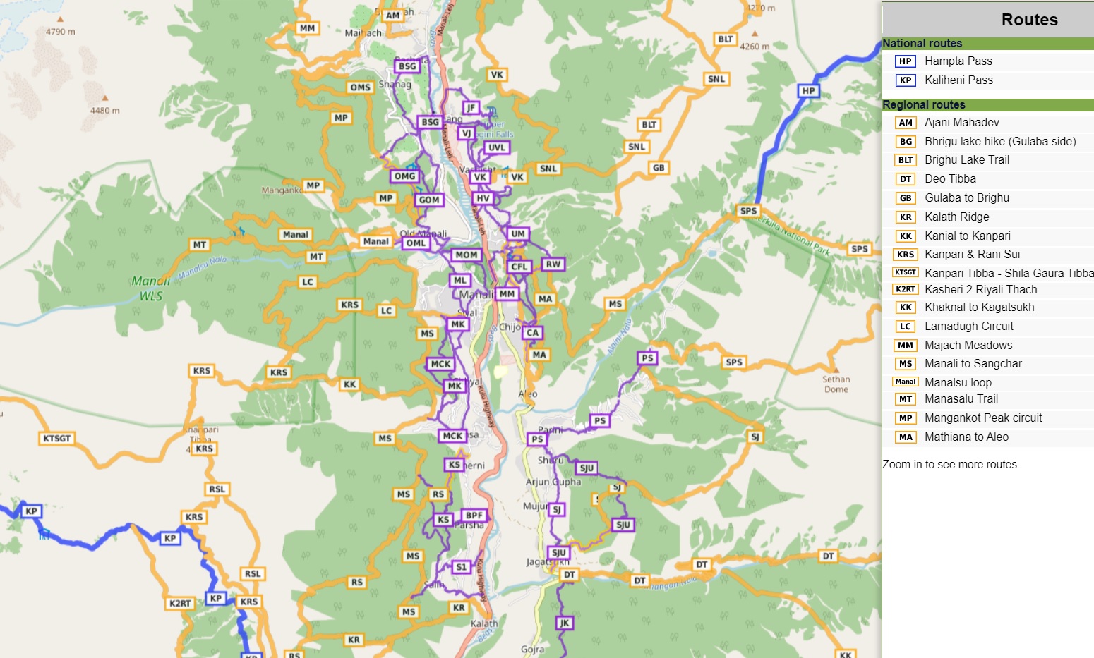
Hiking routes around Manali classified in 4 OSM networks
Hiking routes in Open Street Maps are classified in 4 different networks as per scope:
- Local (purple) – small local walking routes
- Regional (orange) – walking routes that cross regions and are regionally significant
- National (blue) – walking routes that are nationally significant and long distance paths
- International (red) – long distance paths that cross several countries (or states in case of India)
Hiking routes are further tagged with a “SAC” (Swiss Alpine Club) scale with regard to the difficulties to be expected along the trail ranging from T1 (easy, beginners) to T6 (difficult, high exposure, mountaineering skills required). Routes are also tagged by “visibility” ranging from level 1 (excellent, clear trail) to 6 (invisible, excellent navigation skills required). These classifications allow hikers to choose relevant routes for their experience level.
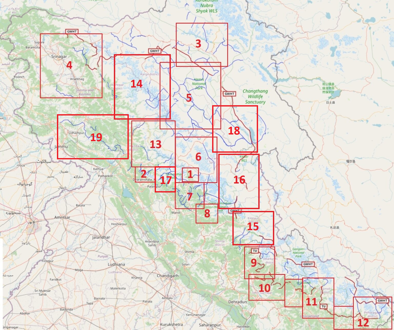
Below I try to consolidate this massive hiking route network in a comprehensive overview classified in 19 regions grouped in 9 sections:
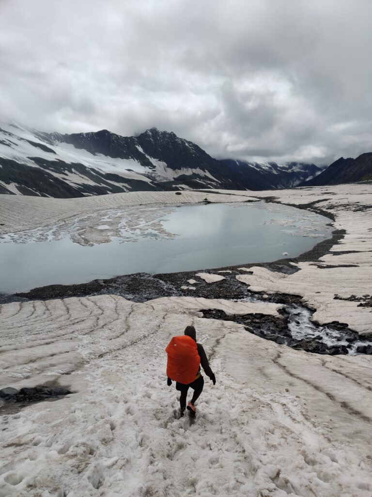
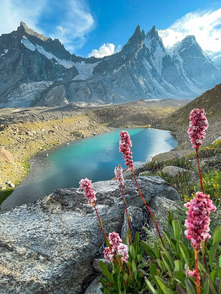
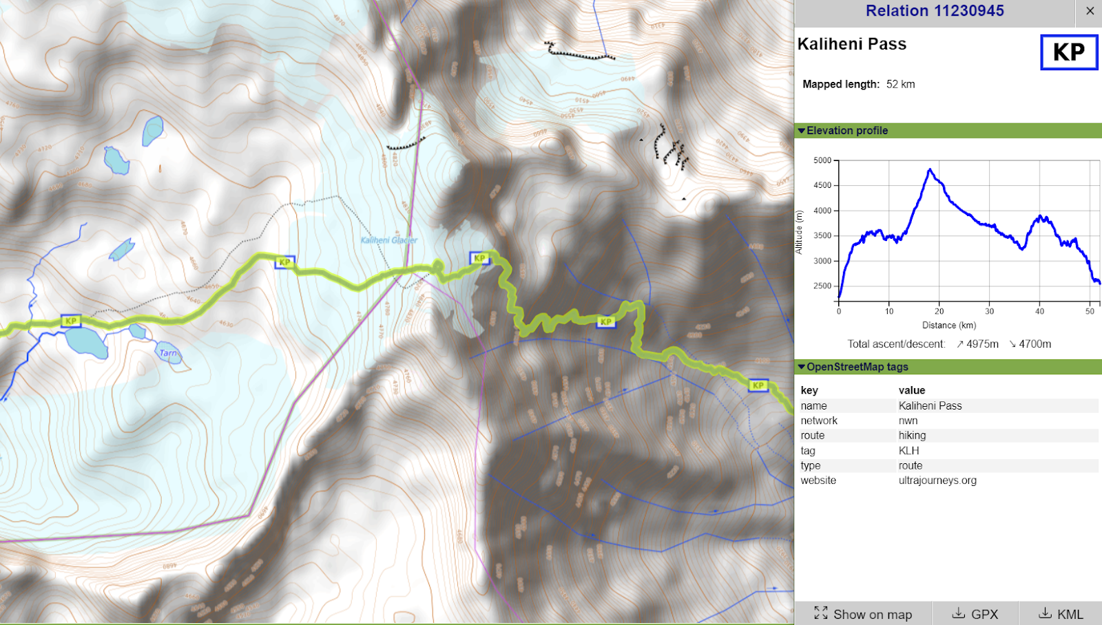
Glacial lake below the Kaliheni pass connecting Manali with Bara Bhangal
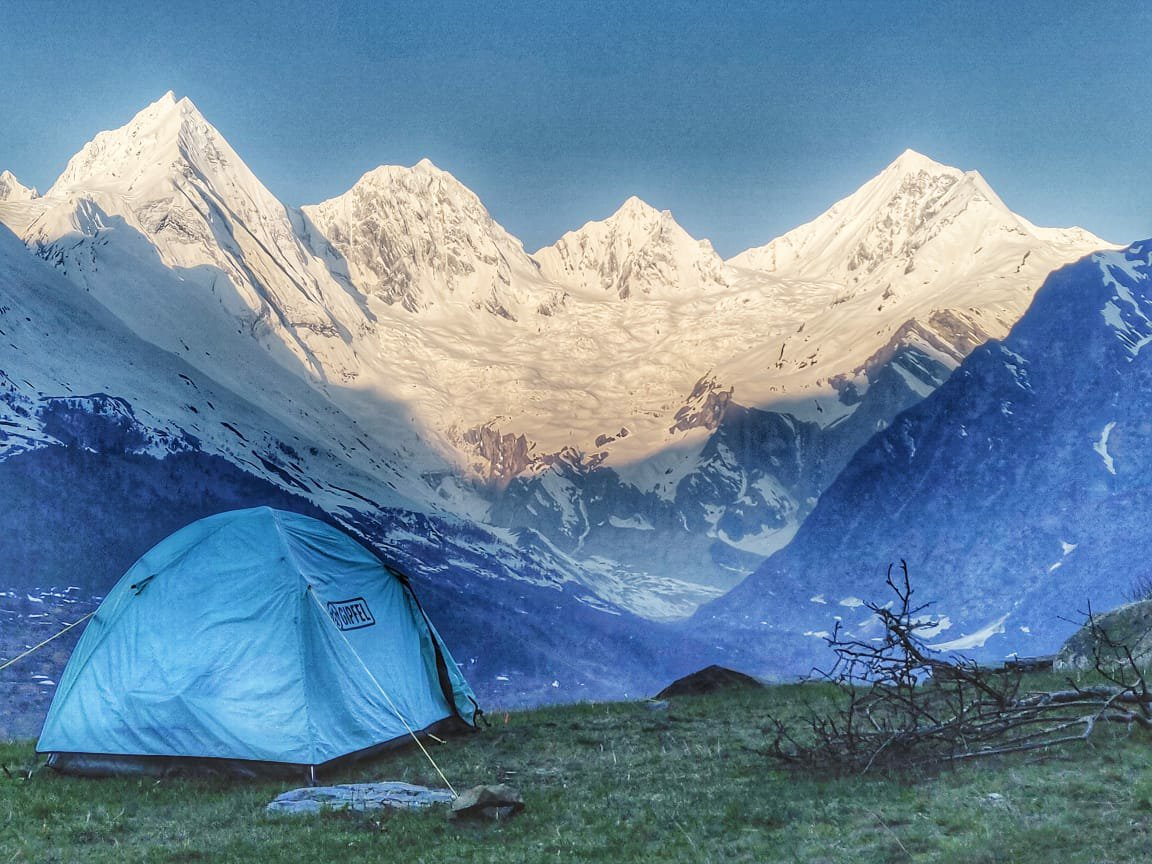
1 Manali is a popular base for the outdoor community with lots of beautiful trails in the surrounding pine forests and meadows in the upper Beas river valley. There are umpteen day hikes for beginners, moderate trails in the valley for intermediate hikers and inter district routes across surrounding ranges for experienced hikers. One can hike throughout the year following the seasonal snowline – Winter (2500m), Spring/Autumn (3500m), Summer (4500m). Avoid the monsoon (July-Aug) when heavy rains flood most of the Himalayan foothills. 6 Kullu and Lahaul have numerous routes to beautiful alpine lakes in the Beas, Chandra, Bhaga, Yunam and Ravi river basins. These lakes are usually located below retreating glaciers naturally formed by moraines dams.
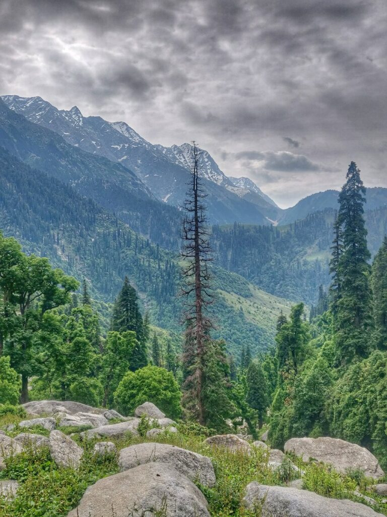
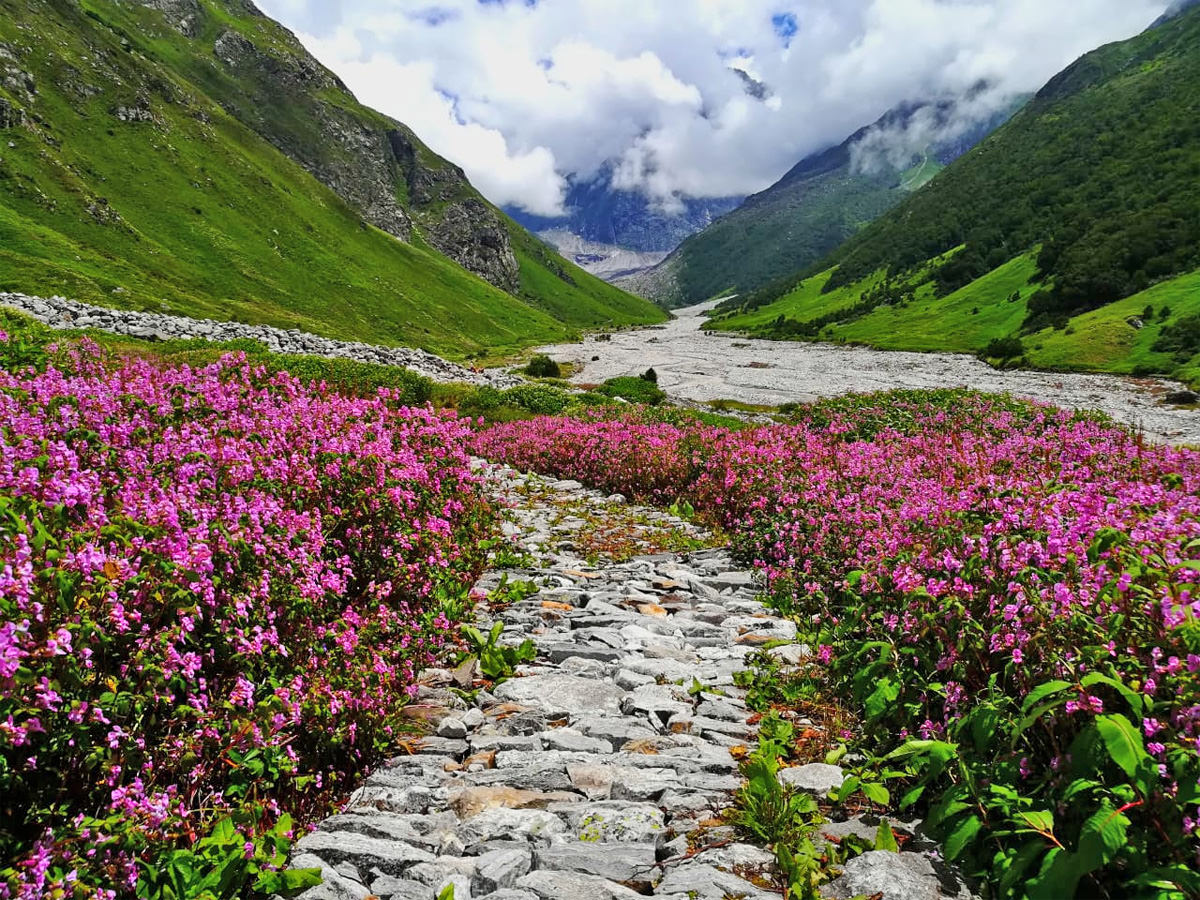
2+17 Dhauladhar (West, East) – Dharamshala located in the foothills of the Dhauladhar is a popular International tourist destination. The range rises up steeply from the Kangra plains in the South and descends gradually into the Chamba valley (Ravi river) in the North. It extends all the way from Dalhousie in the West to Manali in the East. Scenic hiking routes connect valleys with crystal clear streams flowing down from the upper ranges. One can choose from many day hikes in the foothills, regional hikes (3000m) connecting side-valleys and national routes (4000m) across the Dhauladhar. Well known destinations include Triund hill, Indrahar pass, Kareri lake, Lam Dal, Jalsu, Tamsar and Kaliheni pass.
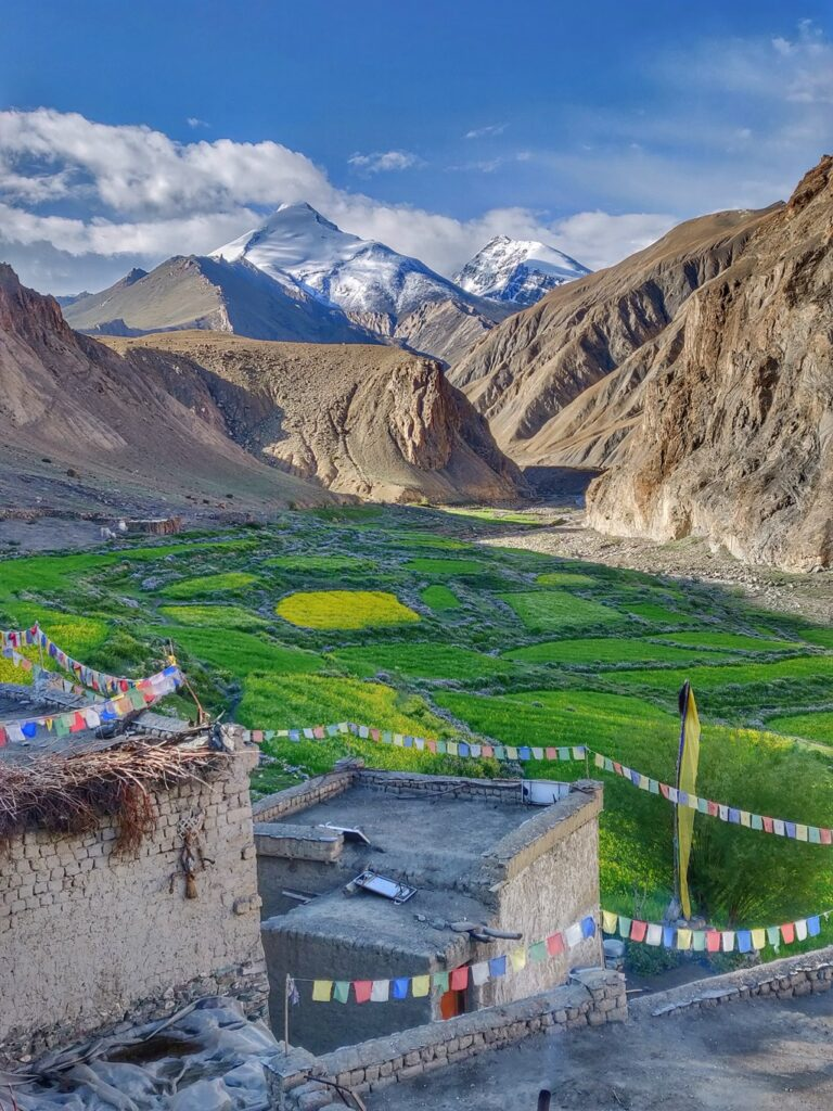
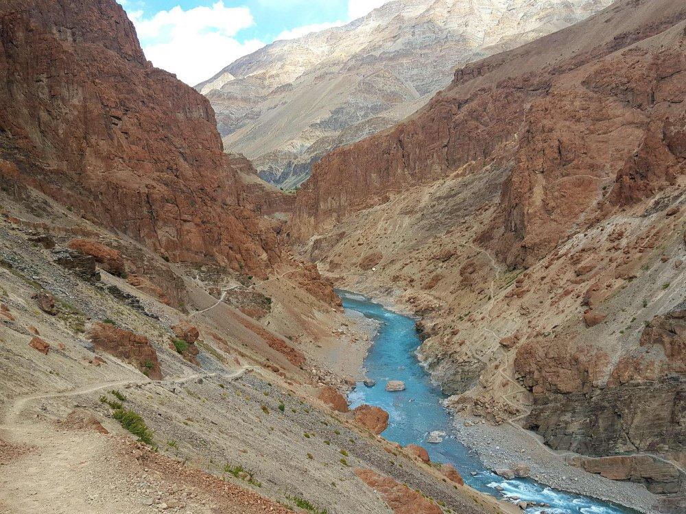
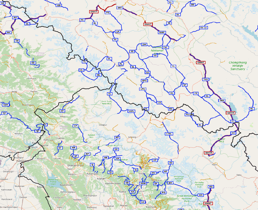
3 Leh is a well known International hiking destination in the alpine desert of Ladakh. The hiking network is well documented using topographic maps since the past 2 decades giving birth to a sprawling outdoor community. Routes across numerous high passes connect several major valleys: Indus, Shyok (Nubra valley), Zanskar and Markha valleys. 5 Zanskar is a mountain range separating the Zanskar valley (South) and the Indus valley (North). We encounter an unearthly landscape here – a highly erosive alpine rock desert here with unique colour gradients. Hiking routes connect major rivers across surrounding ranges – Zanskar, Tsarap, Suru, Indus and Chenab rivers. 18 East Ladakh the region Northeast of the Manali-Leh highway is an open, gradual high altitude range which includes the large alpine lakes of Tso Moriri and Pangong Tso

4+19 Jammu & Kashmir the Pir Panjal range runs through the Kashmir valley and separates it from the rest of the Indian subcontinent. This range is known for its lush green meadows, alpine lakes, dense forests, and snow-capped peaks. The range is easily accessible and offers a variety of activities such as trekking, skiing, and camping. Alpine lakes are often found in areas where glaciers formed thousands of years ago and have since melted, leaving behind small, pristine lakes that are surrounded by stunning scenery. These lakes are often referred to as “jewels of the mountains”, blue-green colours due to the presence of natural minerals and organic matter in the water. Zeeshan, a Kashmiri student has explored and mapped nearly 100 alpine lakes in the region.
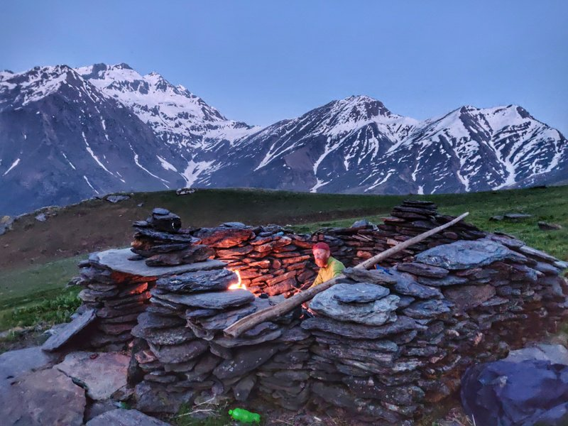
Camping in Dhel Tach in the Sainj valley of below the moonlit snow-capped high ranges of GHNP
7 Kullu although less popular than Manali the Kullu region has many lesser known beautiful hiking routes connecting the surrounding valleys of Beas, Parvathi, Malana, Lug and Barot. Small day hikes connect picturesque hamlets and temples within one valley while intermediate hikers have ample choice in moderate routes across ranges between valleys. Kullu has many lower altitude ranges (3000m) which are open throughout most of the year (March to November). 8 GHNP just East of Kullu is the Great Himalayan National Park, a Himalayan biodiversity hotspot with a rich assemblage of forest types and fauna species. This gives the site outstanding significance for biodiversity conservation. The high ranges get drained through 3 major rivers: Jiwa Nala, Sainj and Tirthan connected through numerous hiking routes.
Uttarakhand is one of my favourite Himalayan regions being wild and less explored compared to Himachal or Ladakh. There are hundreds of high and mid altitude hiking routes across numerous valleys flowing down into 6 mountain districts. 9 Uttarkashi the Bandarpunch and Gangotri ranges drain into the Tons, Yamuna and Bhagirathi river valleys. 10 Tehri Garhwal the Gangotri and Bandarpunch high ranges drain into the Bhagirathi, Bhilangana, Alaknanda rivers. 11 Rudranath & Chamoli the high ranges of Gangotri, Kamet Group and Nanda Devi flow down into the Mandakini, Alaknanda, Pindar and Ramganga river valleys.12 Bageshwar & Pithoragarh Nanda Devi, Panchachuli and East Kumaon ranges drain into the Pindar, Sarju, Ramganga, Goriganga and Dharma river valleys.
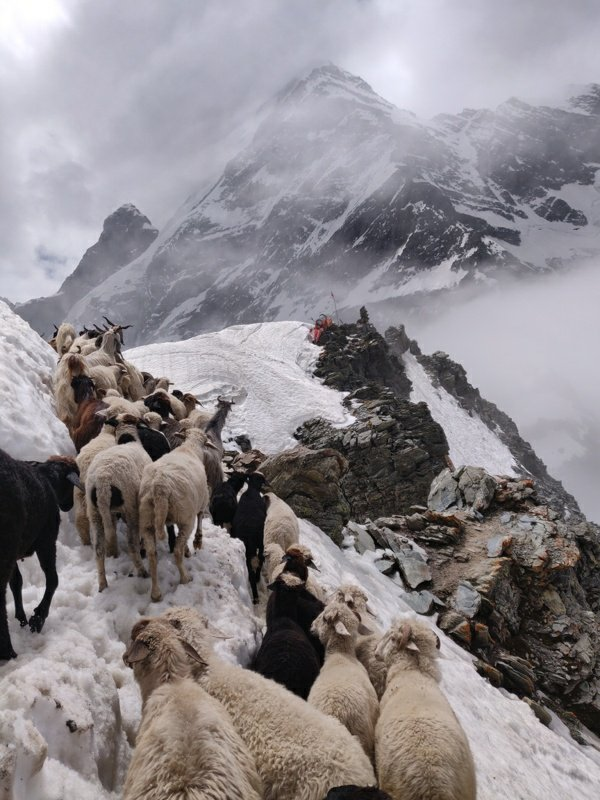
13 Pir Panjal (different from the one above in Kashmir) is a prolonged high range stretching out from Kisthwar in the West to Kullu in the East separating Kullu, Chamba and Doda districts in the South (Ravi river) from Lahaul & Spiti, Pangi, Kishtwar districts in the North (Chenab river). Manimahesh Dhar is a side-range from the Pir Panjal extending into central Chamba. There are many shepherd routes from Chamba across the Pir Panjal to the alpine meadows of Lahaul and Pangi valley. These include Kugti, Chobia, Kalicho, Darati, Marhu and Cheni passes. Many of these are 5000m high and open only between July to September preventing most of the monsoon reaching North. There are several beautiful alpine lakes which are part of annual pilgrimages including Mani Mahesh, Gadasru Mahadev, Neelkanth Mahadev, Khundi Maral Dal and Shannal Dhar.
14 The Great Himalayan Range spans across India, China, Nepal, Pakistan, Bhutan, and Tibet. The world’s highest peaks including Mount Everest, Kangchenjunga, Lhotse, and Nanga Parbat, are part of GHR. The total West to East extension of the Great Himalayas is 2400 km and their average elevation is 6000m. Within the Western Indian Himalayas it runs along the border of Jammu & Kashmir and Ladakh, through Lahaul & Spiti, Kinnaur and upper ranges of Uttarakhand. It separates the Himalayan foothills (South) from the alpine deserts of Ladakh, Zanskar, Lahaul & Spiti and parts of Kinnaur (North). 10 beautiful long distance traverses have been mapped in OSM across this range: Kang La, Umasi La, Tarsalamu La, Shingo La, Parang La, Pangpo La, Baralacha La, Muni La, Hagshu La, Boban Gali
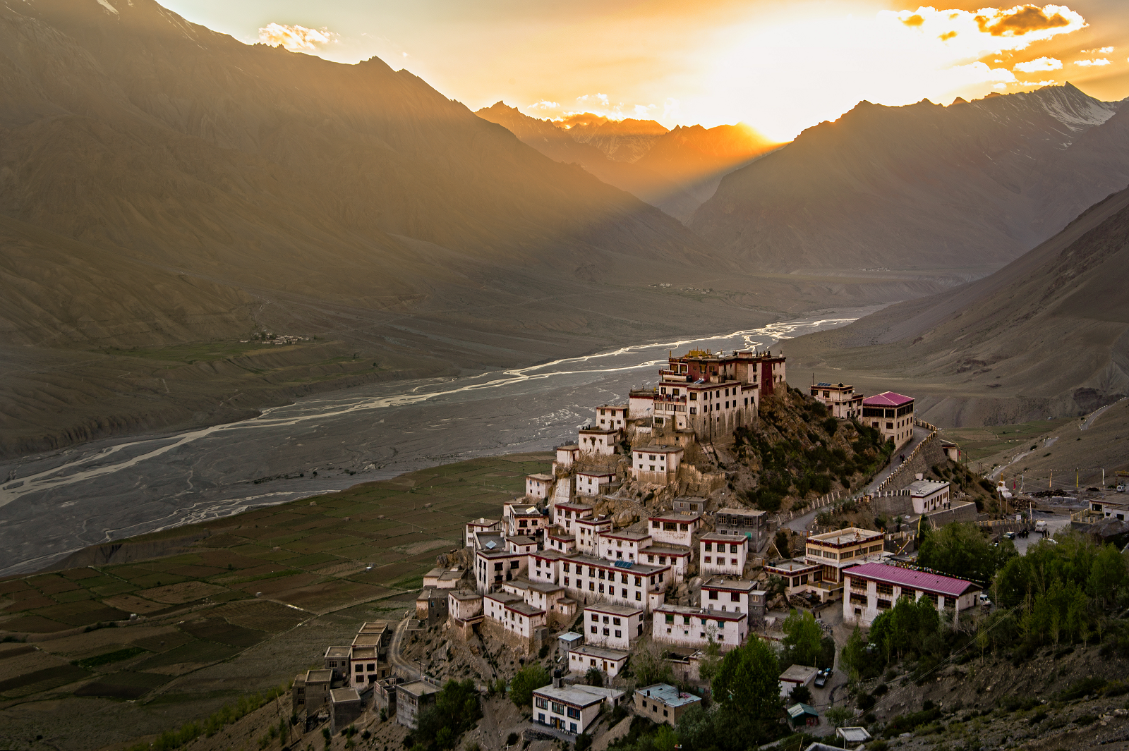
15 Kinnaur is located in the East of Himachal Pradesh bound by Spiti (North), China (East), Shimla & Uttarkashi (South) and Kullu (West) enclosing the Baspa, Spiti and Sutlej river valleys. At the peak of Kinnaur Kailash mountain is a natural rock Shivling (Shiva Lingam). The old Hindustan-Tibet Road passes through the Kinnaur valley along the bank of river Sutlej and finally enters Tibet at Shipki La pass. 16 Spiti means “The middle land”, i.e. the land between Tibet and India. Spiti is an alpine desert bound by Ladakh (North), China (East), Kinnaur & Kullu (South) and Lahaul (West) and its high ranges are drained by the Spiti river. Numerous national hiking routes are mapped in OSM connecting Kinnaur, Spiti and the neighbouring districts.

The Great Western Himalayan Traverse (GWHT) is a 950 km high altitude trans Himalayan traverse through the Indian Western Himalayas across 4 states from Kashmir across Zanskar & Ladakh to Spiti & Kinnaur and across Uttarakhand to the border of Nepal across 31 high passes covering 34 thousand metres of elevation gain, 16 major rivers and 9 alpine lakes. The traverse consists of 23 individual sections.
Each Himalayan region above is documented in detail through hundreds of posts on my blog ultrajourneys.org. Geography, high ranges, main river valleys, mountain peaks and passes, alpine lakes, glaciers, major settlements and detailed description of the hiking routes. For each hiking route a summary is presented, linked to a detailed blog post with route description and a link to the digitally mapped route in OSM which can be used for navigation. One can review the overall route on a topographic map with elevation profile. OSM shows shelters, campsites, settlements, terrain details along the way to plan night halts and required gears. Individual routes can be combined to make a long distance continuous trans Himalayan traverse.
So what are you waiting for? Get out there and explore!