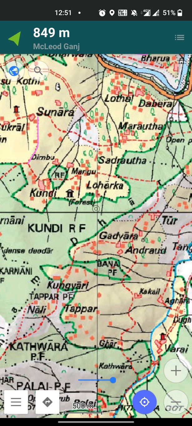
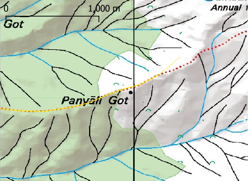
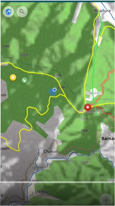
In this tutorial we will demonstrate how to prepare any physical map for mobile navigation use (OSMAnd). Many mobile apps…
400+ beautiful short video clips shot during my 3 months winter journey across 2000km in Uttarakhand
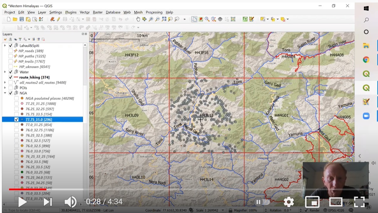
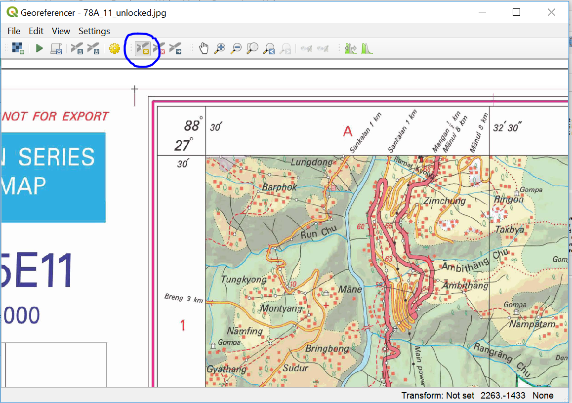
In this short tutorial we will learn how to digitize trails from existing heritage maps using QGIS. We will use…
Survey of India (SOI) maps provide freely downloadable 1:50K topographic maps through its portal soinakshe.uk.gov.in/ (Note: Map download limited to…
Open Street Maps based exploration of the Himalayas
Review series of my lightweight fasthiking gears used during 20/21 Winter Exploration of Uttarakhand across 2000km and 110 passes
See also Part 1 – Using JOSM and adding Hamlets This short tutorial illustrates the steps to create a new…

