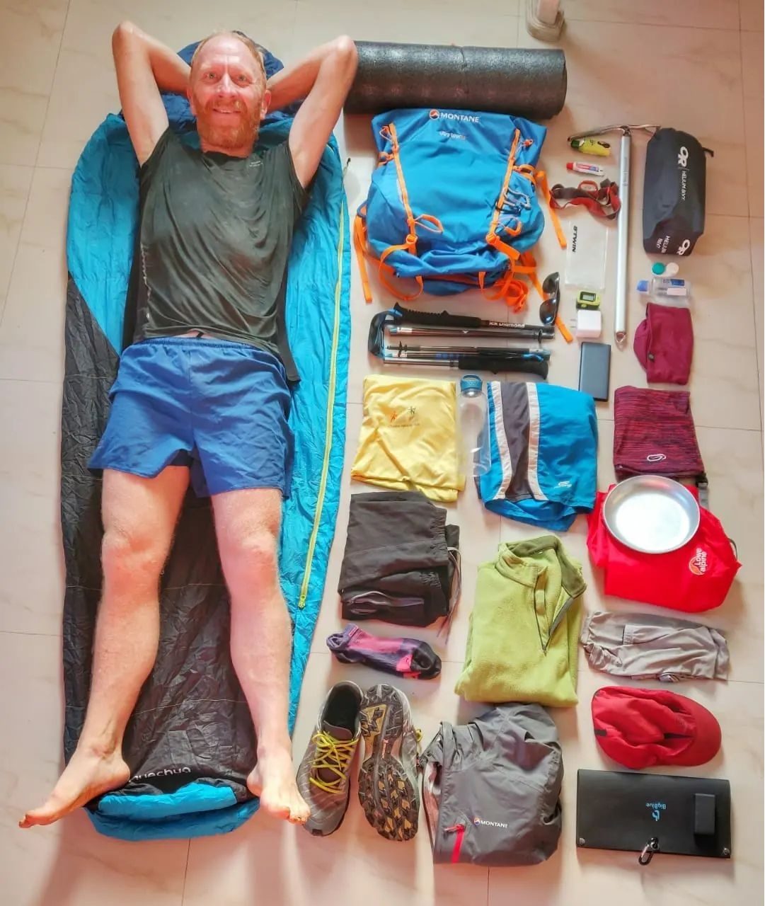
Alpine Hiking Bootcamp. This DIY course consolidates my extensive alpine hiking experience exploring more than 300 high passes across the…

Alpine Hiking Bootcamp. This DIY course consolidates my extensive alpine hiking experience exploring more than 300 high passes across the…
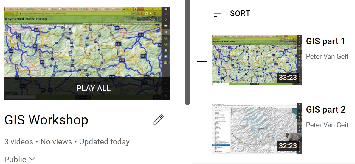
Open Street MapsData modelViewers, OpenTopo, Thunderforest, EditorsHiking – waymarked trails, brouter.deMobile apps, OSMAndHiking RoutesGeo-coding waypoints, trails, GPXElevation profileBlogs, Wikiloc, Ramblr,…
This online course consolidates my extensive alpine hiking experience exploring more than 300 high passes across the Western Himalayas. 50+…

There is no excerpt because this is a protected post.
There is no excerpt because this is a protected post.
There is no excerpt because this is a protected post.
There is no excerpt because this is a protected post.
There is no excerpt because this is a protected post.

In this chapter we will explore the powerful geometry processing capabilities of QGIS on various Himalayan features. These capabilities will…
There is no excerpt because this is a protected post.