After a good night rest in the open along the Manali Leh highway I grab some breakfast in one of the dhaba tents and pack up a few aloo parottas for the journey ahead to Rumtse across the Shingbuk La 5280m, Mandalchan La 5210m and Kyamar La 5100m.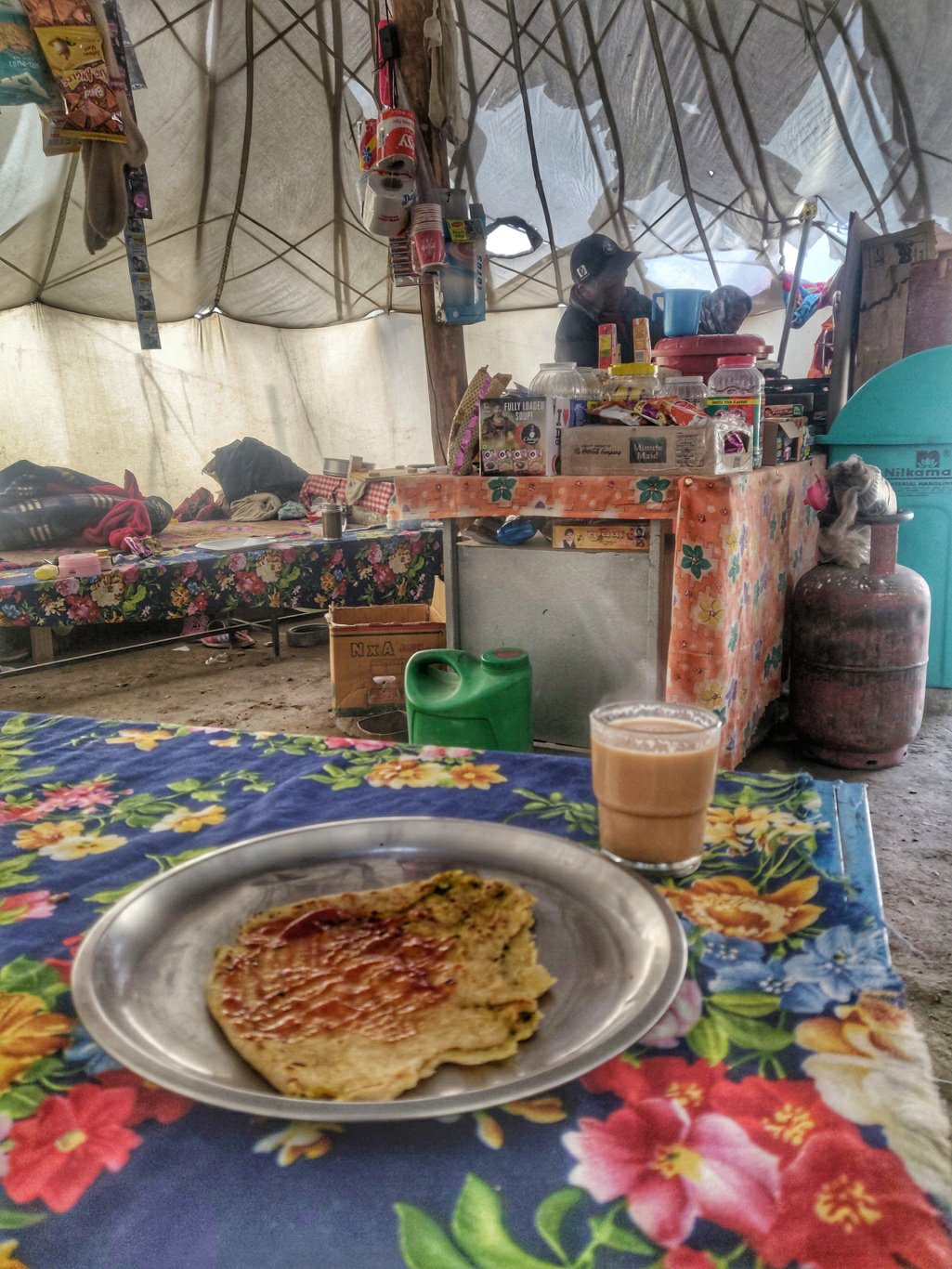 OSM shows a 46km hike with 928m of elevation gain. I planned to cover this stretch in two days. It goes in parallel to the Manali Leh highway across the Tangla La pass.
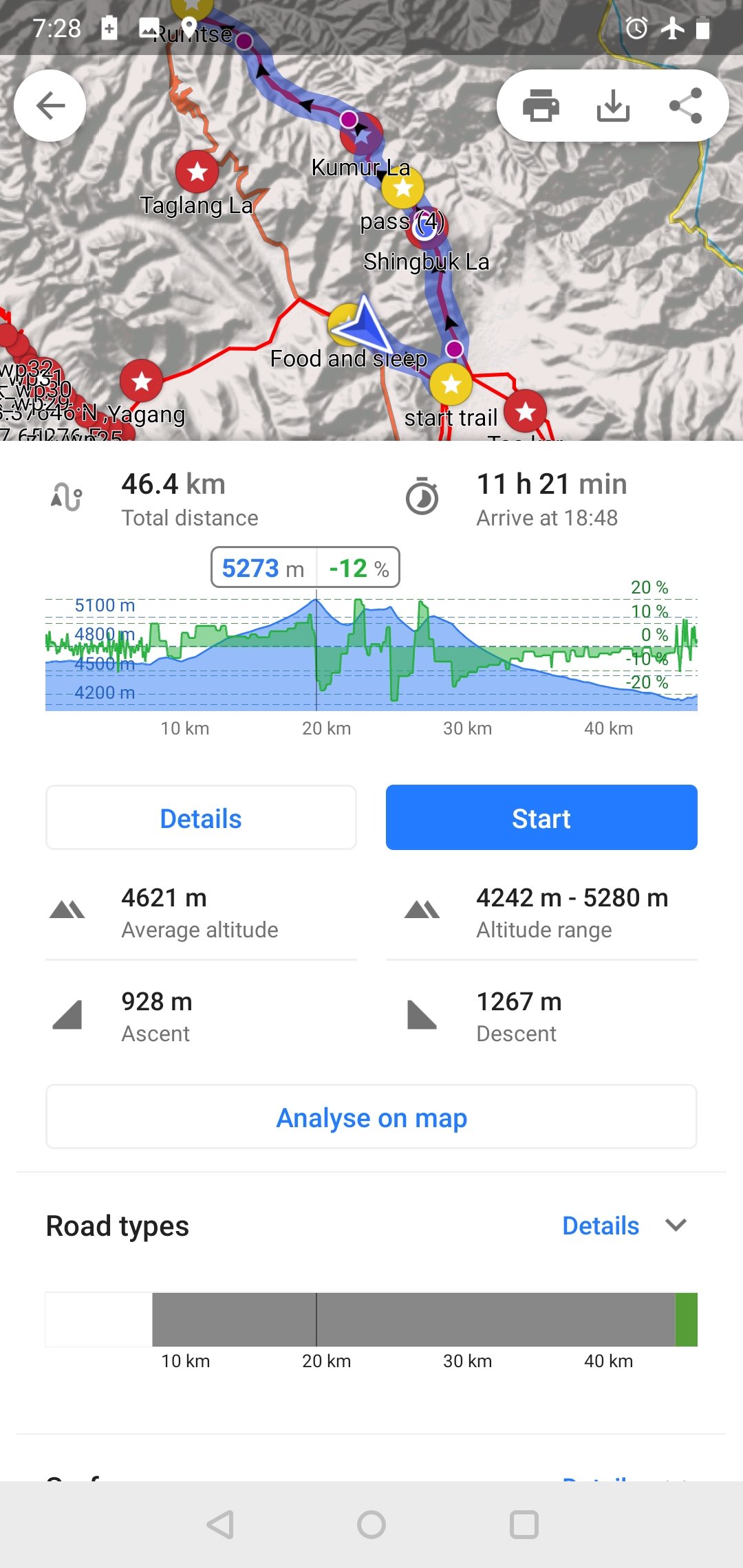 I take a side road from the main highway towards Tso Kar lake. Along the way I admire a large herd of sheep walking through the barren landscape in search for green peastures.
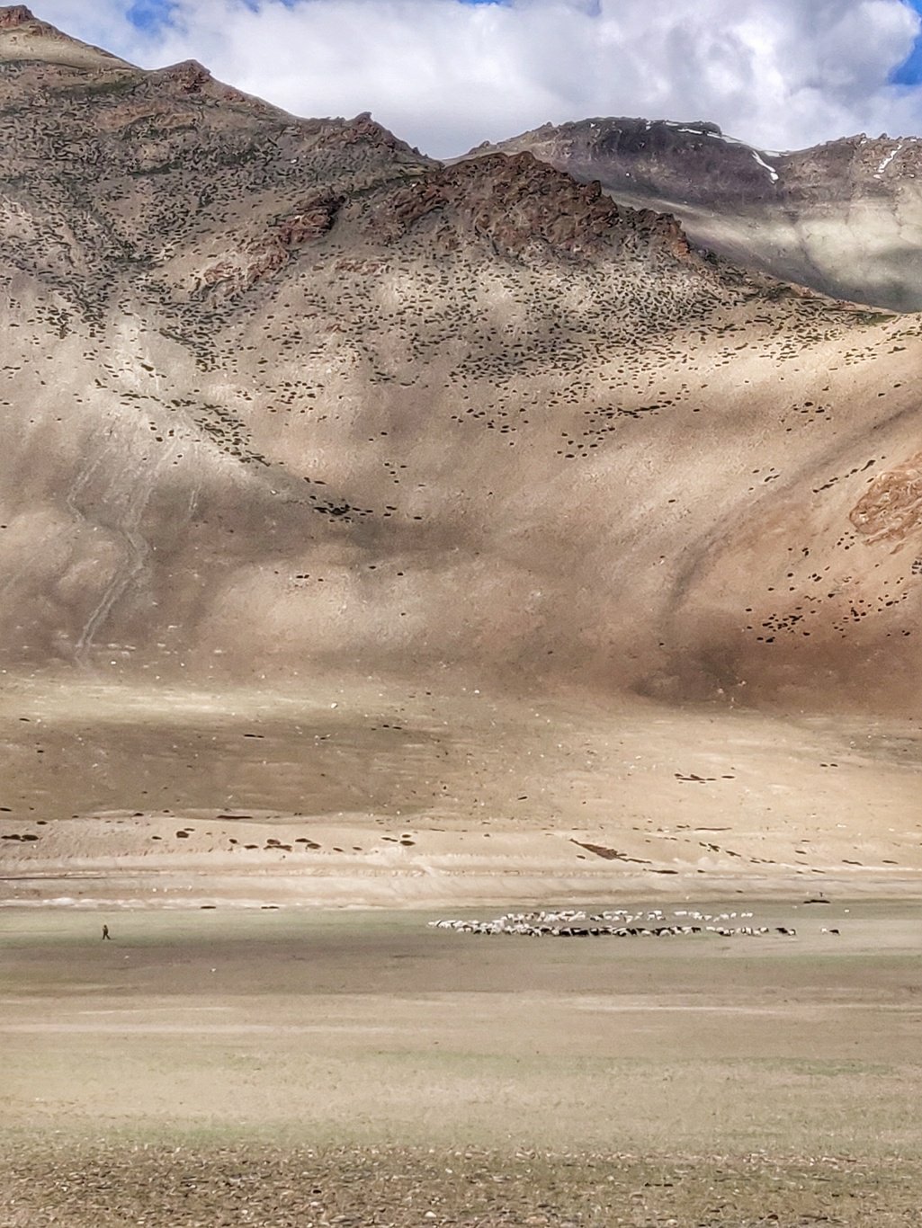 Before the actual trail marked in OSM I take a left from the road into a side valley which as per the contour map appears to be a nice shortcut. It turns out right and I save some 3km of distance. As I head North I get views on the Tso Kar lake far below which appears to have less water.
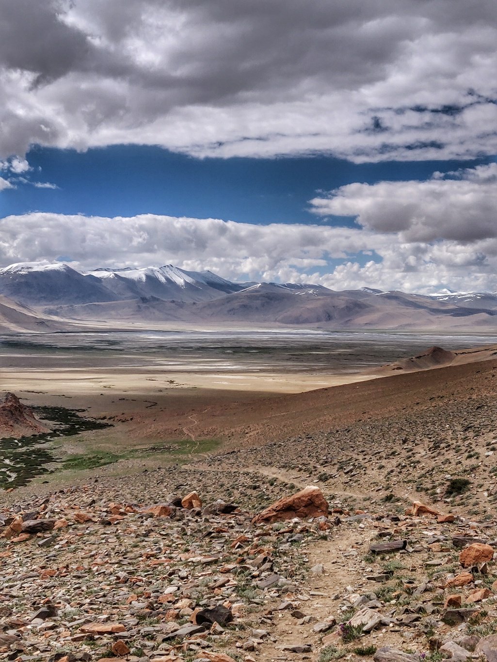 My trusty Salewa trail running shoes are battered after 2.5 months in the rough rocky mountainous terrain but still holding up. The soles are mostly worn so the grip is now coming from the leg muscles. Let’s see how long they ll last before falling apart.
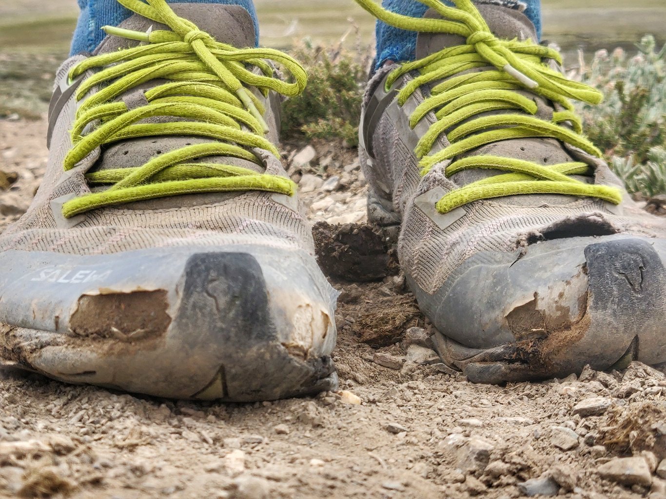 An interesting plant along the way looks like moss growing on a big round rock underneath while in fact it’s a rock shaped bush with a smooth green cover. When part of it dries up the outer green cover shows the underlying structure.
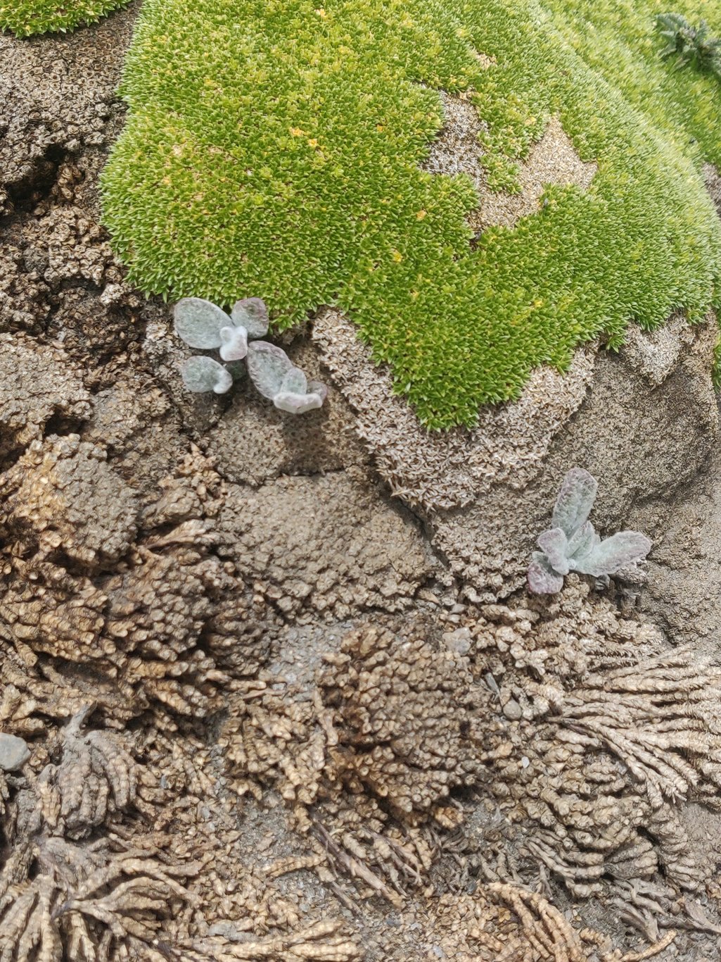 After a gradual ascent along a frequented trail through an open valley I reach the first pass: the Shingbuk La marked by colorful prayer flags.
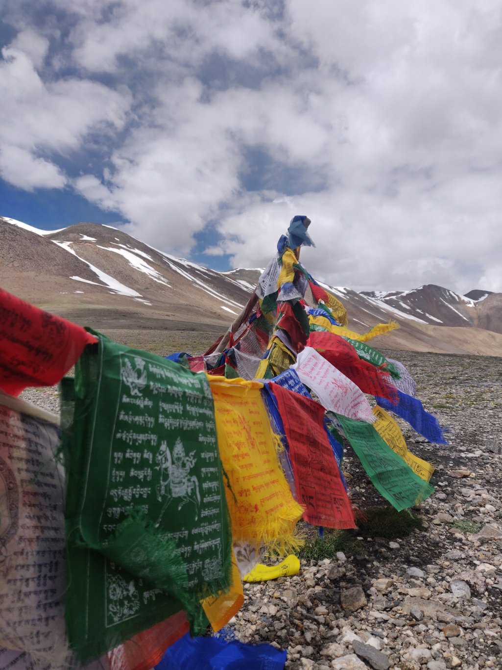 The meadows are dotted with a wide variety of colourful alpine flowers. Each type grows in its prefered region of altitude and water availability. Bees are buzzing around collecting nectar.
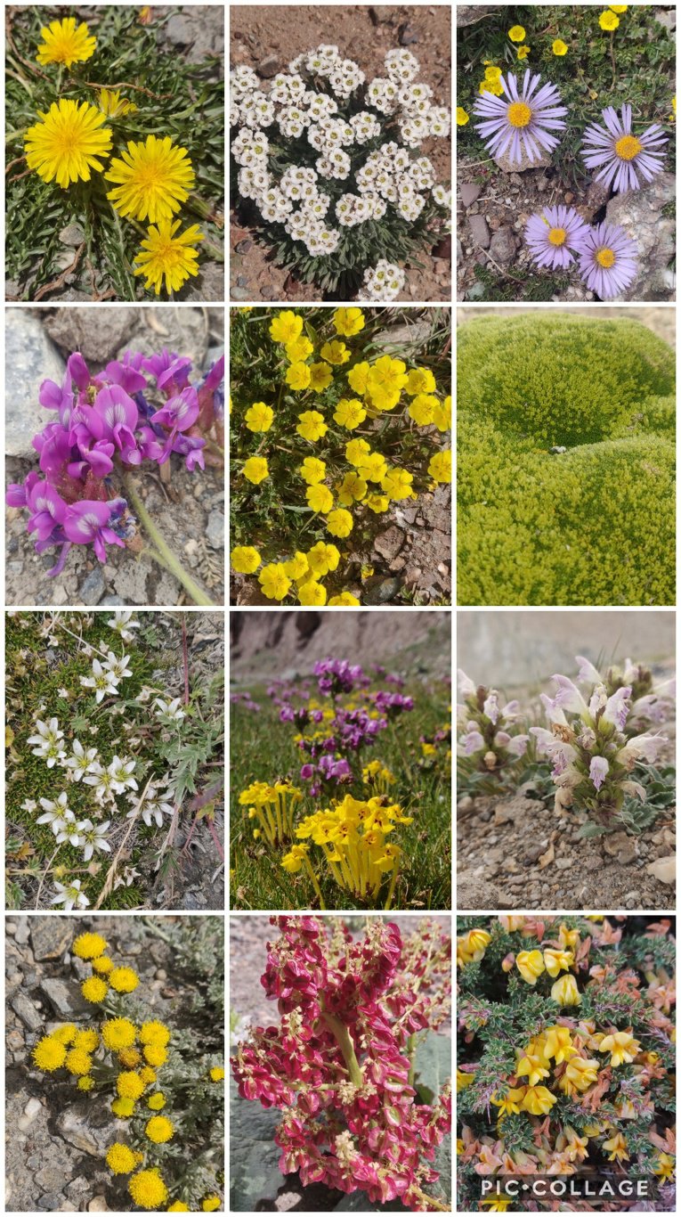 Along the way before the Kyamar La I meet the horses of a big Vietnamese hiking group proceeding in the opposite direction towards Tso Miori. Horsemen usually go ahead of the group to pitch up camp and prepare food for the clients.
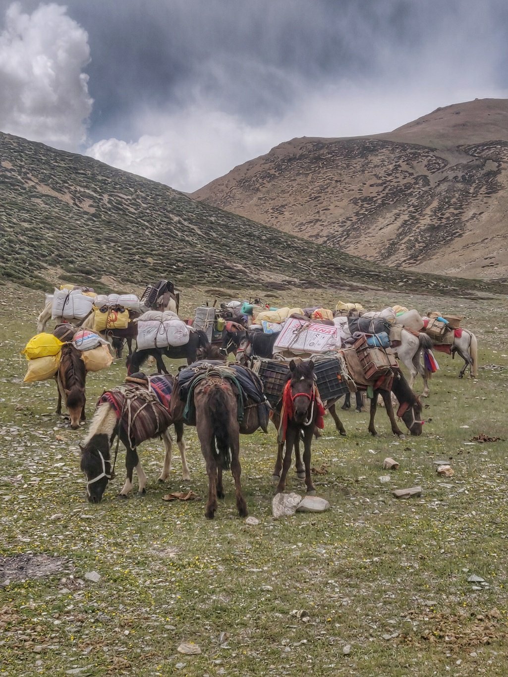 From the top of the Kyamar La pass I get treated on spectacular views of the snow covered ranges of the Hemis national park. The pass is marked with colourful Buddhist prayer flags and Ibex skulls.
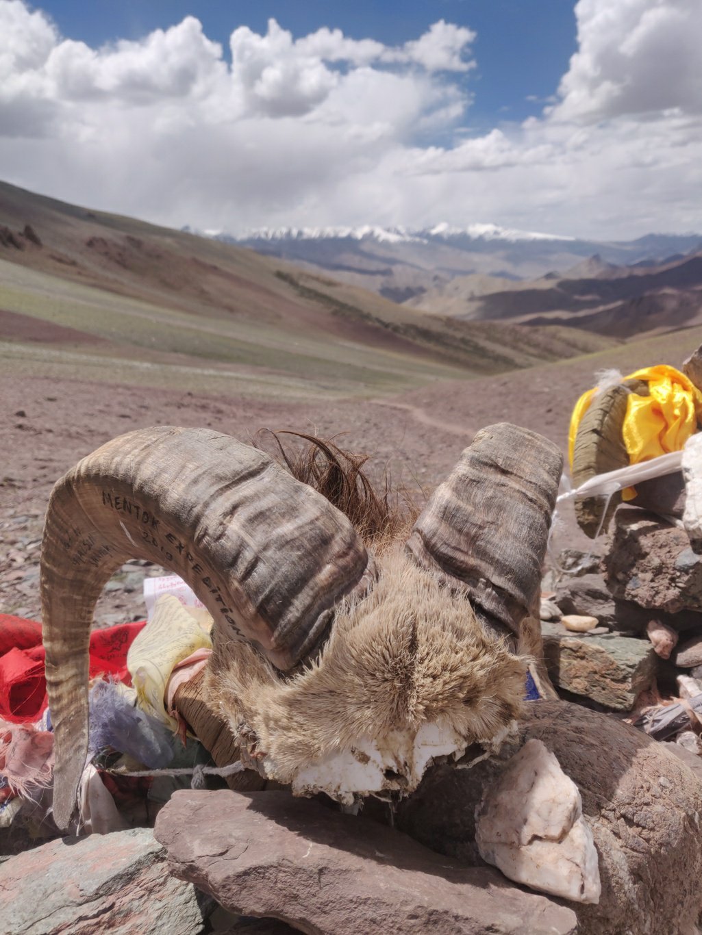 From here the trail descends gradually 800m through a deserted valley with a jeep dirt track towards Rumtse at 4300m. Further down the valley turns green with the stream flowing through swampy grasslands.
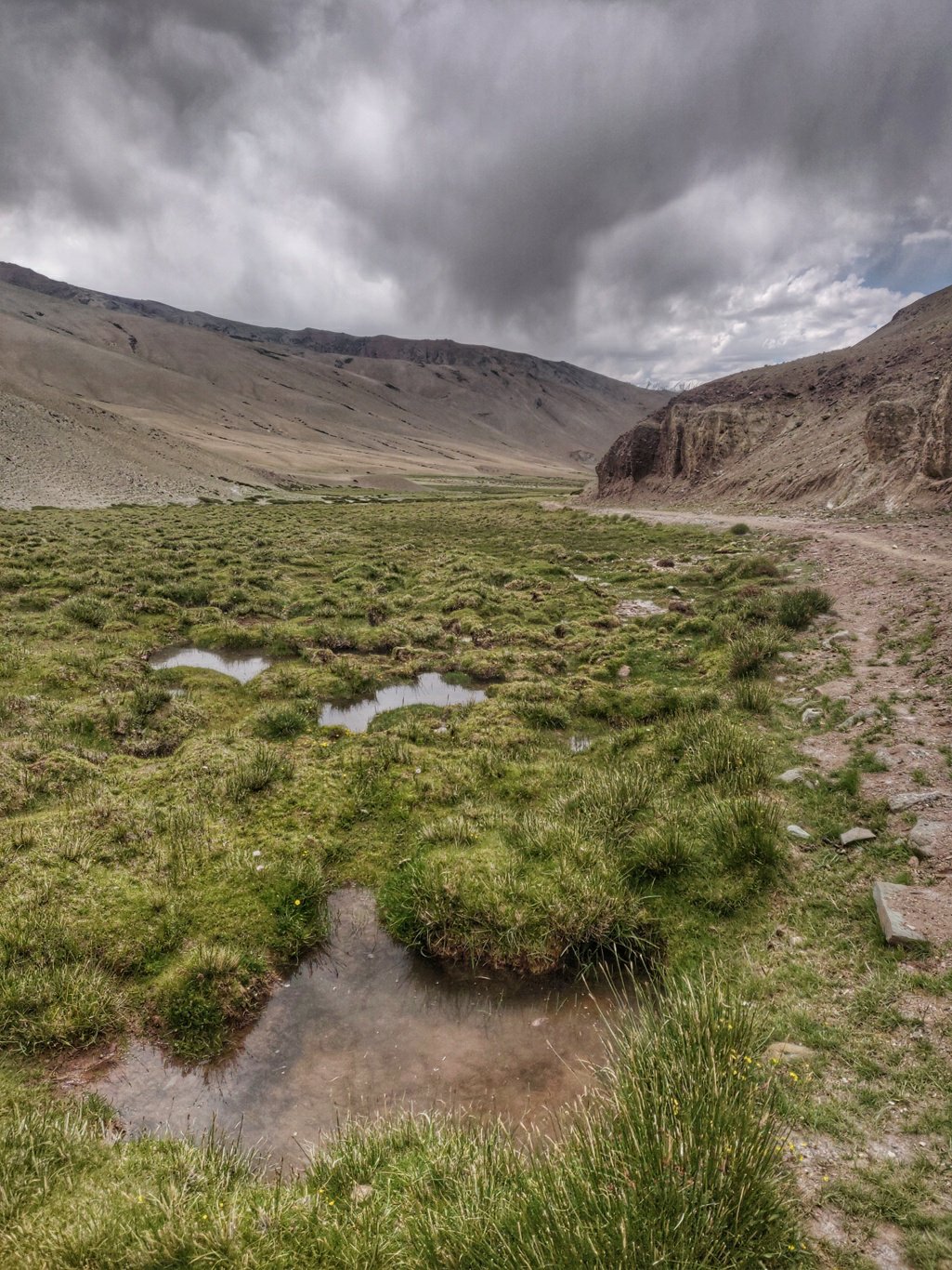 Free horses are grazing in some places. I also pass the ruins of an abandoned hamlet. At the end of the valley big herds of sheep are grazing guided by two female shepherds. They seem to be returning home for the night.
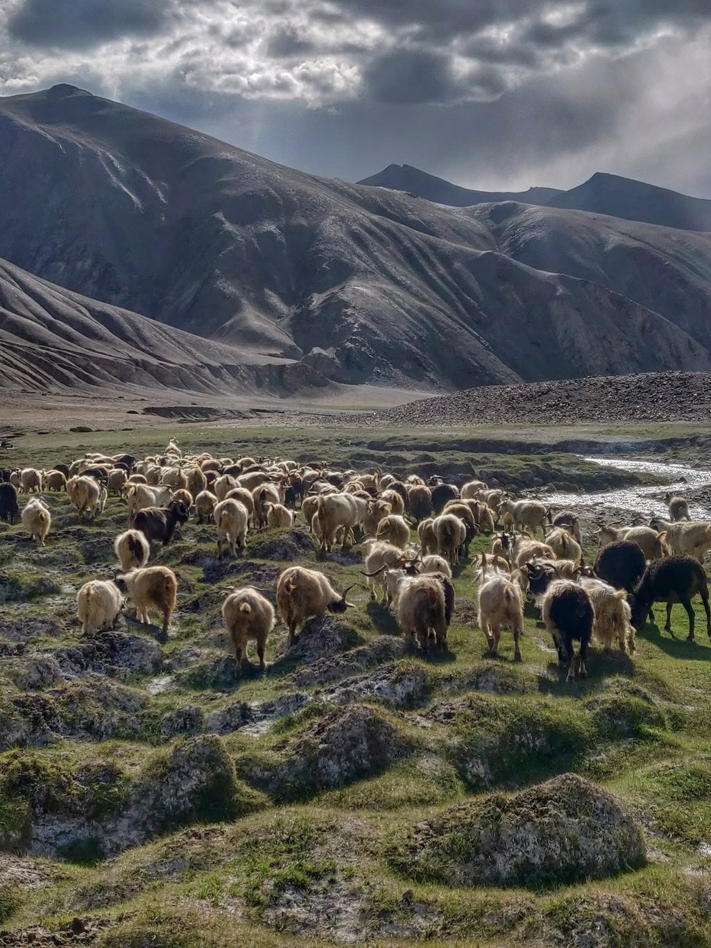 I finally reach back on the Manali Leh highway and walk a few KM’s further down to Rumtse, a small peaceful village with a few restaurants and homestays. Starved, I grab some food in one of the dhabas run by two friendly ladies who offer me free night stay at their next door home stay.
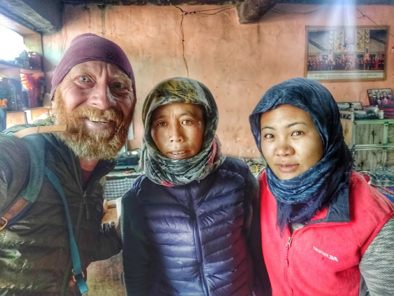 I decided to stay overnight at Rumtse to have breakfast and pack up food for my next section starting from Miru, a bit further down the highway with no food shops.

Posts
Copyright © 2019 UltraJourneys - Supported by dreams