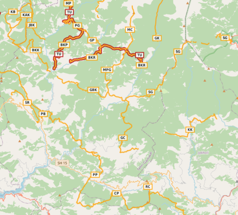
Tehri Garhwal is a district in the hill state of Uttarakhand, India. Its administrative headquarters is at New Tehri. It is surrounded by Rudraprayag District in the east, Dehradun District in the west, Uttarkashi District in the north, and Pauri Garhwal District in the south.
Geography
Rivers
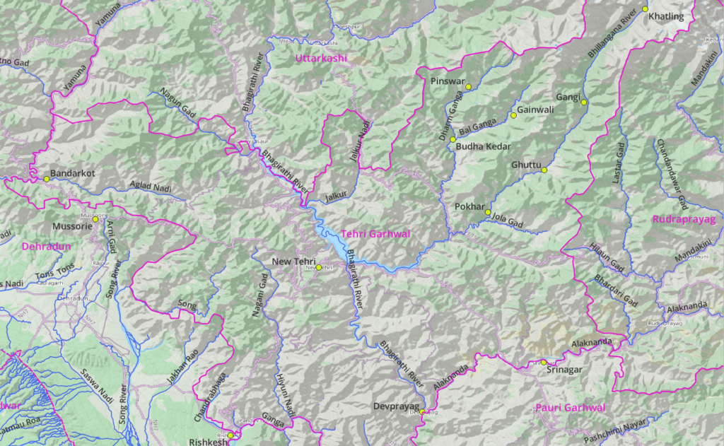
Major rivers flowing through Tehri Garhwal and reference settlements:
- Bhagirathi river (West) – originates from Gangotri range in Uttarkhasi flows through New Tehri and Devprayag. Tributaries: Jalkur Nadi, Bhillangana.
- Bhillangana river (Central) – originates from Kathling glacier flows through villages of Gangi, Ghuttu, Pokhar. Tributaries: Dharm Ganga, Bal Ganga and Nailchami Gad.
- Alaknanda river (South) – originates from the Kamet Group in Chamoli district flows through Rudraprayag and along border of Tehri Garhwal and Pauri Garhwal. Flows through Srinagar and Devprayag at confluence of Alaknanda and Bhagirathi where it becomes the Ganga river flowing to Rishikesh. Tributary: Takoli Gad.
- Aglad Nadi (West) – flows North of Mussorie through Bandarkot and joins the Yamuna river.
- Hiyuni Nadi (South) – flows South from New Tehri and joins the Ganga
Peaks
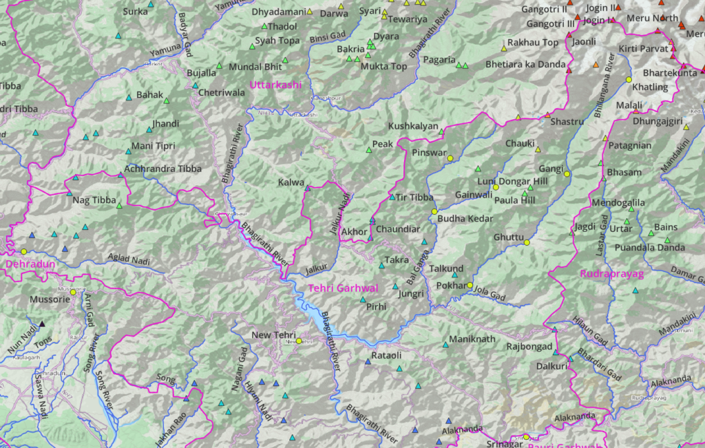
Tehri Garhwal is bound on the Northeast by the Gangotri range. Remaining parts of the district are in the foothills of the Himalayas with lower altitude peaks. Nag Tibba (3022m) on the border with Uttarkashi is a famous hiking route
Lakes
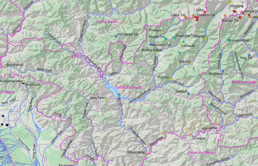
There are few lakes in Tehri Garhwal which make beautiful hiking destinations including Masar Tal (3000m) and Shastru Tal (4600m)
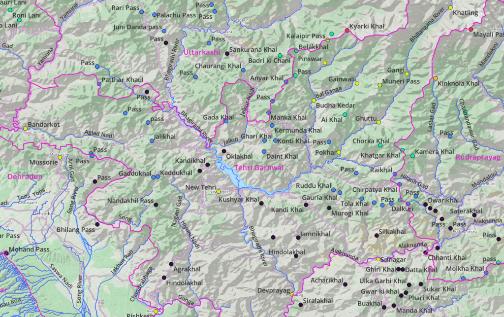
Mountain Passes
There are numerous passes located in the mid-ranges separating the major river valleys in Tehri Garhwal as well as the ranges bordering Uttarkashi and Rudraprayag. Below we discuss several regional and national hiking routes which will allow you to hike through these mid-level passes offering mesmerizing views on the surrounding valleys and ranges.
Hiking Routes
Hiking routes in Open Street Maps (OSM) are categorized in 4 different networks:
- International (red) – long distance paths that cross several countries (or states in case of India)
- National (blue) – walking routes that are nationally significant and long distance paths
- Regional (orange) – walking routes that c ross regions and are regionally significant
- Local (purple) – small local walking routes
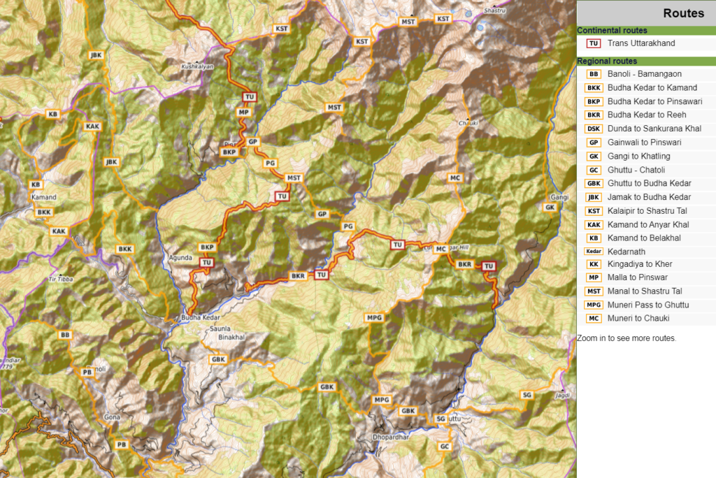
Many routes below have been explored and documented during my Trans Uttarakhand Journeys in Spring 2019 and Winter 20/21. Blogs for individual routes can be found here and here.
16 Local Hikes
Around Mussourie
- Mussourie is a hill station located near Dehradun just over the border with Tehri Garhwal district. Below a few smaller hikes around this scenic hill station.
- Mussourie – Ladhoor loop 9km / 850m+ from Landour bazaar in Mussourie we descend North to Khattapani (1850m) where we contour East high above the Aglad Nadi river valley to Ladhur from which we climb up South along a ridgeline back to Mussourie. Blog post
Around Rishikesh
Rishikesh is located where the Ganga flows out from the Himalayas on the border of Tehri Garhwal, Dehradun and Pauri Garhwal districts. Fine below several scenic smaller hikes in the surrounding mountains of Pauri Garhwal (East of Ganga) and Tehri Garhwal (North of Ganga river).
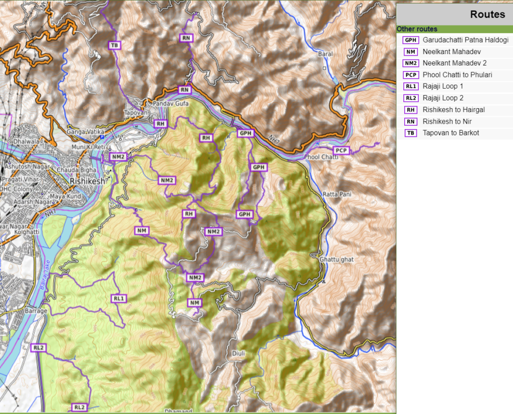
- Rishikesh to Neelkanth Mahadev 9km / 900m+ a popular pilgrim route starting at Rishikesh, crossing the Ganga through a Janki Setu hanging bridge and climbing up Southeast through the Rajaji National Park in the mountains East of the Ganga river to Pundrasu (1100m) before descending to Neelkanth Mahadev near the Talam Gad tributary stream of the Huim river tributary of the Ganga river.
- Rishikesh to Neelkanth Mahadev / 2 9km / 1200m+ a lesser known route to Neelkanth Mahadev starts from the Janki Setu bridge across the Ganga river climbing up East into the mountains to Gudanugaon crossing an unnamed pass (1250m) descending Southeast into the Talam Gad valley to Neelkanth Mahadev. Blog post
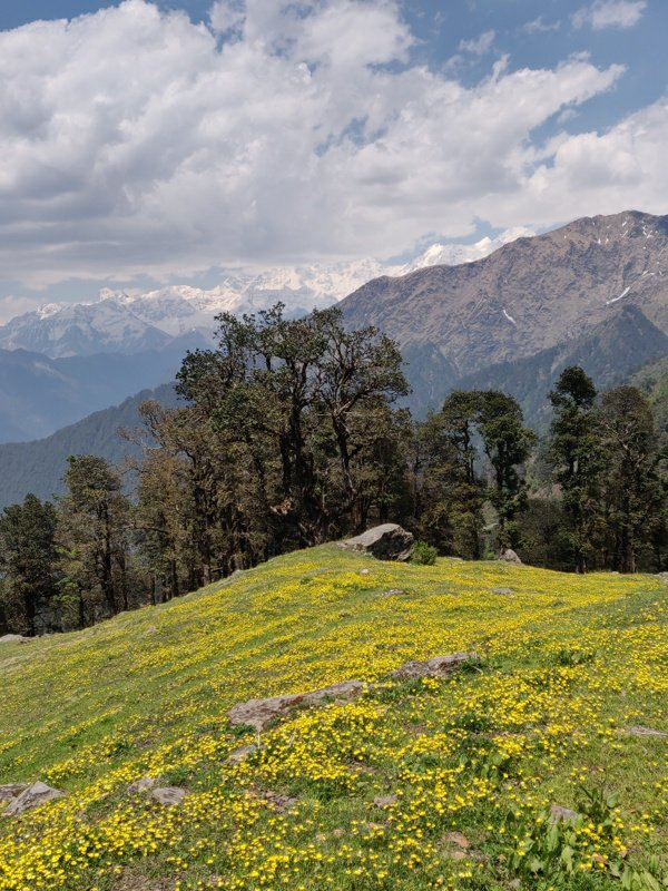
- Rishikesh to Khairgal 7km / 1200m+ staring at the Lakshman Jula hanging bridge we cross over the Ganga river climbing up in the mountains East to Totla contouring high above the Ganga river and climbing South along the Khalrari Sot stream to the scenic hamlet of Khairgal (1200m) overlooking the Ganga river valley. Blog post.
- Garudachatti – Patna – Haldogi 8km / 950m+ from Garudachatti along the Ganga river bank we climb up South into the mountains to Patna climbing up along a small stream to the ridgeline above (1050m) descending back via a higher trail through Haldogi back to Garudachatti
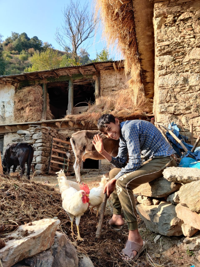
- Tapovan to Barkot 5km / 800m+ from Tapovan near Rishikesh on the banks of the Ganga river we climb up straight North into the mountains along the Dhaul Sot stream to Barkot village (1300m)
- Malli to Nir 4km / 600m+ from from Malli near Rishikesh on the banks of the Ganga river we climb up North into the mountains along the Nir Gad stream to Nir village (1050m)
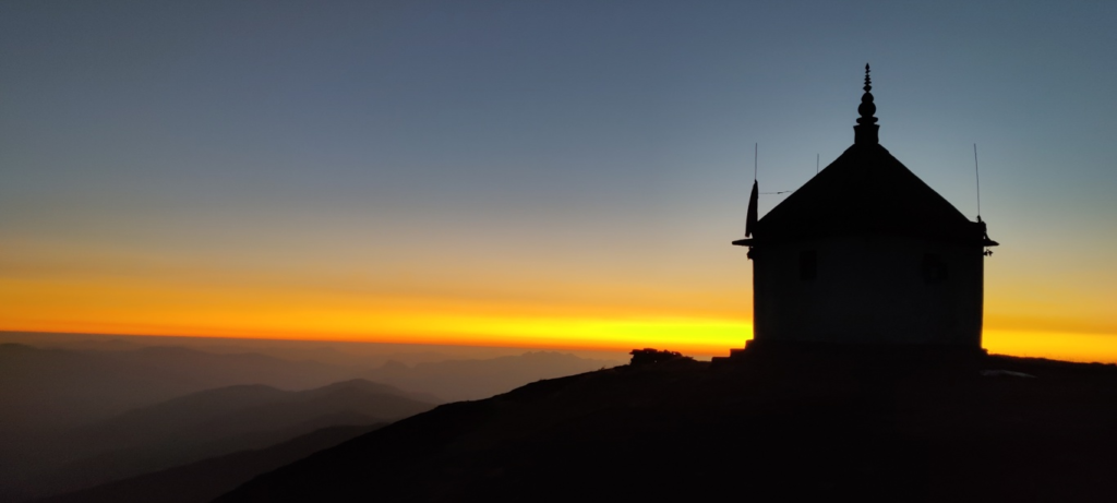
- Phool Chatti to Phulari 4km / 700m+ from Phool Chatti on the South bank of the Ganga we hike up to Phulari village (1000m) treating us on a 180 degree birds eye view of the Ganga river and Hiyuni Nadi and Huim tributaries.
- Rajaji Loop 1 9km / 250m+ crossing the Pashulok Barriage bridge over the Ganga river we climb up East in the Rajaji National Park and hike a small circuit between the East bank of the Ganga river and an altitude of 550m
- Rajaji Loop 2 7km / 160m+ crossing the Pashulok Barriage bridge we head South along the Ganga river and hike a small circuit on the Eastern slope in the Rajaji National Park up to 420m
Around Pantwari
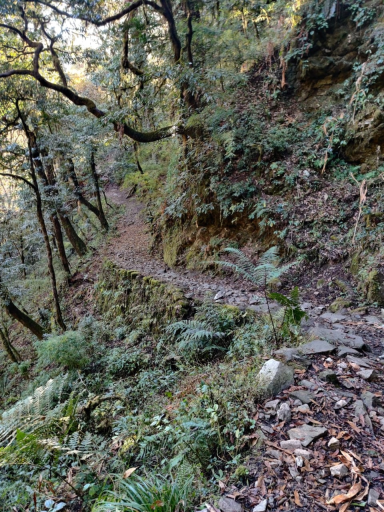
- Tangri to Nagthat 7km / 900m+ from Tangri near Pantwari we cross over the Bhadri Gad river and climb up North to Nagthat mandir (2060m) on the border of Tehri Garhwal and Uttarkashi overlooking the Bhadri Gad and Diyan Gad valleys.
- Hangeri to Sendul 4km / 300m+ from Hangeri we cross over the Bhadri Gad valley and climb up West to Sendul village (1650m)
Others
- Diulang to Dwelling – 3.5km / 800m+ from Diulang (near Ghuttu) in the Bhillangana river valley we climb up Northwest above the Panyani Gad to an unnamed dwelling (2500m)
- Tityuna to Chirpatya Khal 6km / 800m- from Tityuna in the Nailchami Gad valley we climb up North and continue along the ridgeline above East to the Chirpatya Khal road pass (2200m) below Ratkot Tibba (2360m).
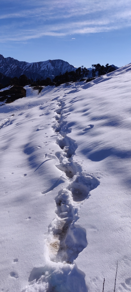
- Chatoli to Kingadiya 8km / 800m+ from Chatoli in the Jagadi Gad valley we climb up Northeast to the Khatgar Khal pass (2770m) and descend into the Chhikona Gad valley to Kingadiya village. Blog post
- Chamyala to Pass 6km / 1250m+ from Chakmyala in the Bal Ganga river valley we climb up East to an unnamed pass (2170m) on the ridgeline separating the Billangana river valley
28 Regional Hikes
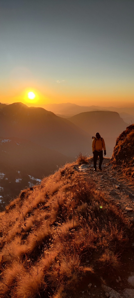
- Pantwari to Nag Tibba 8km / 1500m+ from Pantwari village in the Bhadri Gad valley we climb up East into the Kori Gad valley to the ridgeline above gradually ascending to Nag Tibba peak at 3022m overlooking the surrounding Nagun Gad (Northeast), Bhadri Gad (West) and Aglad Nadi (South) valleys.
- Mussorie to Kyari 23km / 1500m- from Mussorie we descend North into the Aglad Nadi valley along a ridgeline to Ladhur village from where we contour Southeast across the Patal Gad valley, turning North to descend into Aglad Nadi valley crossing the river and climbing up North into the Kyari Gad valley to Kyari village. Blog post
- Kyari to Pantwari via Nag Tibba from Kyari in the in the Kyari Gad valley we climb up North to the ridgeline above contouring East above the Pali Gad valley to climb up to the ridgeline East of Nag Tibba (borders Uttarakashi). Here we proceed West along the ridge to Nag Tibba (3020m) and descending to Pantwari in the Bhadri Gad river valley. Blog post
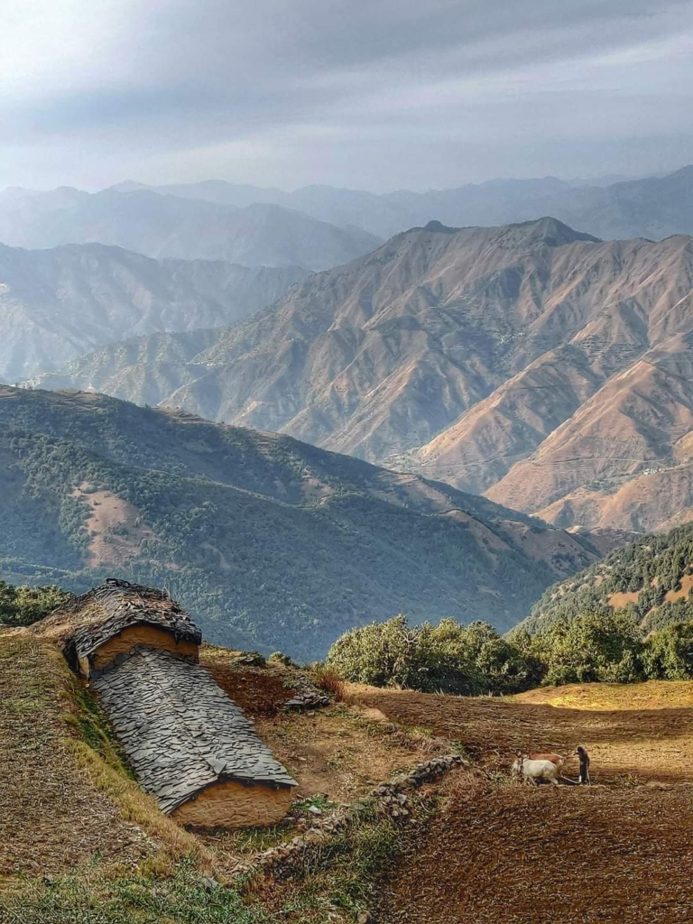
- Pantwari to Bandgaon 36km / 2950m+ from Pantwari (start of the popular Nag Tibba hike) we cross the Bhadri Gad valley climbing up North, crossing the Diyari Gad and proceeding East along the ridgeline between Bhadri Gad and Yamuna river valleys crossing over an unnamed pass and contouring across the Nagun Gad, Anyari Khala, and Ghattu Gad to Bandgaon. Blog post
- Jamak to Budha Kedar 34km / 2200m+ via Belakhal (2950m) from Jamak in the Bhagirathi river valley we climb up East crossing over the Barmand Gad and Andhri Gad streams into the Dugadda valley climbing up to Belakhal pass descending through serene pine forest into the remote Pangrana Gad valley to Budha Kedar in the Dharm Gad valley.
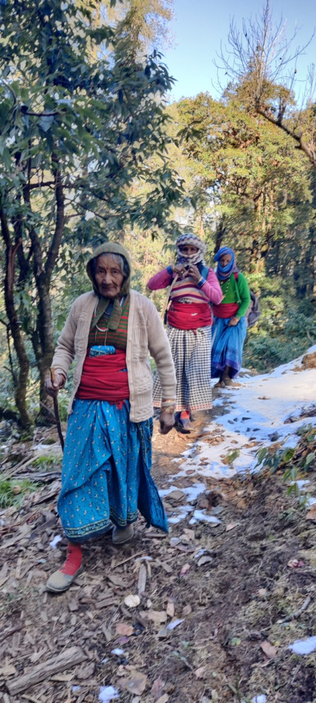
- Kamand to Budha Kedar 21km / 1600m+ via Anyar Khal (2350m) from Kamand in the Jalkur Gad valley we climb up Southeast to the Anyar Khal pass descending Southeast turning Northeast and once again Southeast to Budha Kedar on the confluence of the Dharm Ganga and Bal Ganga river valleys. Blog post
- Malla to Pinswar 24km / 2000m+ via Kalaipir pass (3300m) from Malla in the Bhagirathi river valley we climb up Southeast into the Pilang Gad valley onto the ridgeline above which takes us to the Kalaipir pass descending South into the Devan Gad valley to Pinswar in the Dhram Ganga river valley. Blog post Blog post 2 Blog post 3
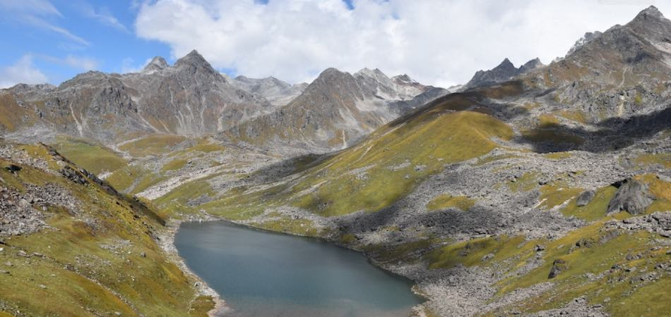
- Kalaipir to Shastru Tal 16km / 1800m+ from the Kaliaipir pass (3300m) we climb up Northeast along the ridgeline bordering Uttarkashi and Tehri Garghwal to the Kyarki Khal (4030m) turning Southeast and East to Shastru Tal lake (4600m) origin of the Shastru Gad river, tributary of the Pilgun Gad which flows into the Bhagirathi river
- Pinswar to Gainwali 13km / 1350m+ from Pinswar in the Dharm Ganga valley we climb up Southeast along a ridgeline to the dwelling of Manal and cross over an unnamed peak (3275m) descending Southeast into the Bal Ganga river valley passing by Chandiar Tal (3000m) crossing the river and climbing up to Gainwali village above the Jandriya Gad valley. Blog post Blog post 2 Blog post 3
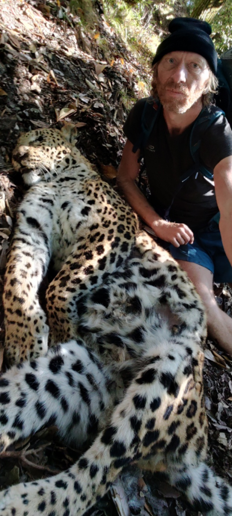
- Budha Kedar to Pinswari 19km / 2530m+ from Budha Kedar on the confluence of the Dharm Ganga and Bal Ganga rivers we climb up North on the ridgeline separating both valleys passing by Masar Tal (2900m) turning East to the dwelling of Manal where we descend Northwest via a ridge into the Dharm Ganga valley to Pinswari village. Blog post
- Manal to Shastru Tal (incomplete) 25km / 2100m+ from the dwelling of Manal we climb up Northeast along the ridgeline between Dharm Ganga and Bal Ganga river valleys turning East on the main ridgeline between Bhillangana (East) and Pilgun Gad (North) valleys to Shastru Tal (4600m).
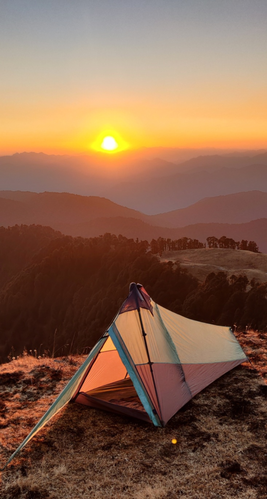
- Bhuda Kedar to Reeh 26km / 2800m+ from Bhuda Kedar we hike up East into the Bal Ganga river valley go Gainwali village proceeding East along the ridge between Jandriya Gad (South) and Kolgad Gad (North) valleys to the Muneri pass (3350m) descending East into the Doni Gad valley joining the Chhira Gad till Reeh in the Billangana river valley. Blog post Blog post 2 Blog post 3 Blog post 4
- Ghuttu to Bhuda Kedar 21km / 1900m+ from Ghuttu in the Bhillangana river valley we climb up West crossing the Lom Gad and Gair Gad valley while climbing up to the Ai Khal pass (2500m) crossing over the Ghatu valley and descending to Budha Kedar on the confluence of Bal Ganga and Dharm Ganga river valleys.
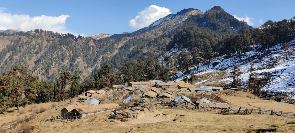
- Muneri pass to Ghuttu 18km / 2150m- from the Muneri pass (3350m) we descending Southwest along the ridgeline separating Bal Ganga (West) and Billangana (East) valleys descending South into the Lom Gad valley contouring East above the Bal Ganga valley to Ghuttu. Blog post Blog post 2
- Muneri to Chauki 10km / 900m+ from the Muneri pass (3350m) we climb up North along the ridgeline between Bhillangana (East) and Jandria Gad (West) valleys to Chauki peak (4003m) and possibly continue to Shastru Tal (still unmapped)
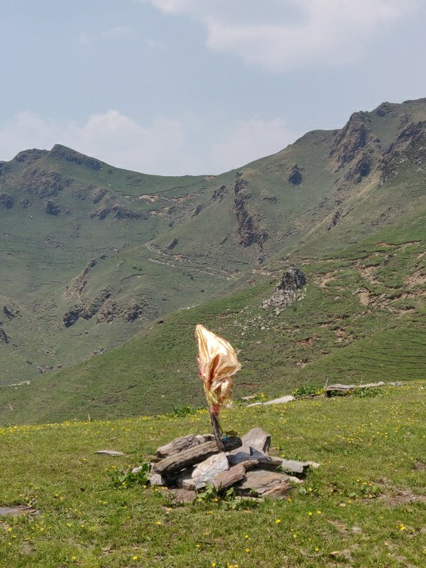
- Sonprayag to Ghuttu 32km / 2500m+ from Sonprayag in the Mandakini river valley (flowing down from Kedarnath) we climb up West above the Vasuki Ganga valley to Trijugi Narayan where we turn Southwest high above the Siha Gad valley towards the Kinkola Khal pass (3530m) and contour around Bhasam peak (3750m) proceeding Southwest along the ridgeline border between Tehri Garhwal and Rudraprayag separating the Bhillangana and Lastar Gad river valleys to finally descend West to Ghuttu. Blog post Blog post 2 Blog post 3
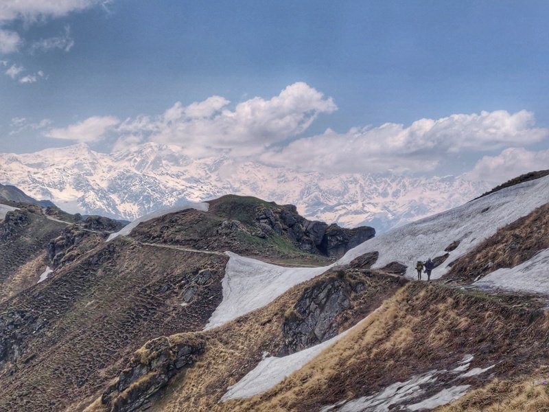
- Ghuttu to Chatoli 23km / 2100m+ from Ghuttu in the Bhillangana river valley we climb up South between the Kan Gad and Pora Gad valleys crossing over the Chorka Khal (2600m) descending in the Dung Gad valley and proceed South – East along a road section to Chatoli village in the Jagadi Gad valley. Blog post Blog post 2
- Chirbhattiya to Piplidhar 29km / 1300m+ from the Chirpatya Khal pass (2200m) we proceed South along the ridgeline (border between Tehri Garhwal and Rudraprayag) between Hilaun Gad (East) and Nailchami Gad (West) passing Rajbonga peak (2730m) turning West to Pinad Khal (2160m) descending Northwest into the Nailchami Gad valley. Here we climb up Southwest to the Tola Khal pass (2100m) descending in the Dagar Gad valley to Piplidhar. Blog post
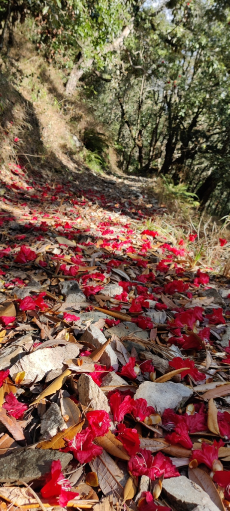
- Piplidhar to Pokhar 26km / 2650m+ from Piplidhar in the Dagar Gad valley we climb up North across the Gauria Khal pass (2000m) descending into the Nailchami Gad valley and climbing up Northeast across an unnamed pass (2120m) descending into the Jola Gad valley. We proceed West in the Jola Gad valley turning North to Pokhar in the Bhillangana river valley. Blog post
- Pokhar to Banoli 33km / 3800m+ from Pokhar in the Bhilangana valley we climb up Northwest passing below Talkund peak (2230m) and an unnamed pass (2170m) turning West and descending to Chatiara in the Bal Ganga river valley. We follow the road to Sirakot on the opposite side of the river from where we climb up Northwest into the Gongad Gad valley to Banoli (1600m). Blog post
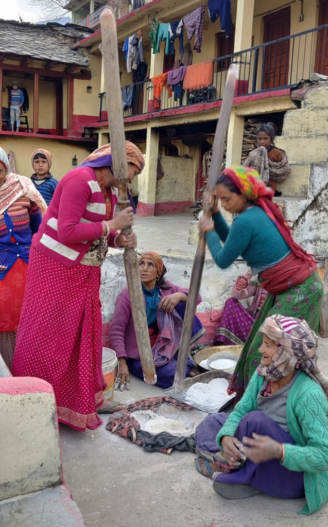
- Banoli to Bamangaon 28km / 1600m via unnamed pass (2300m) and Chaurangikhal (2300m) from Banoli in the Gongad valley tributary of the Bal Ganga river we climb up North to East over an unnamed pass descending Northwest into the Jalku Nadi valley across the Chaurangikhal pass to Bamangaon in the Dhanari Gad valley, tributary of the Bhagirathi river. Blog post
- Pipli to Margaon 13km / 900m+ from Pipli in the Dhanari Gad valley we climb up Southwest through an unnamed pass (2050m) descending into the Gamri Gad valley to Margaon in the Bhagirathi river valley. Blog post
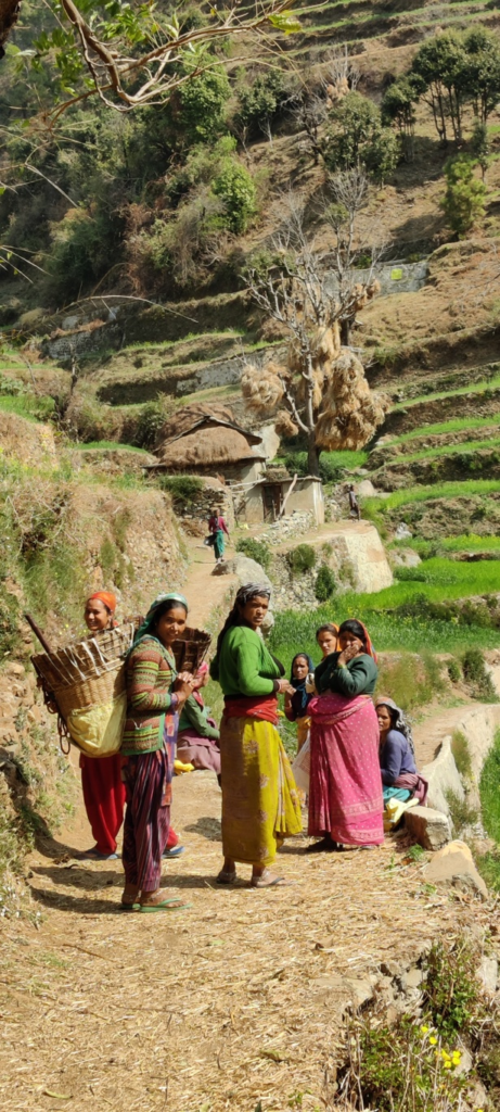
- Chinyalisaur to Chapra 13km / 1300m+ from Chinyalisaur in the Bhagirathi river valley we climb up West to Northwest along the ridgeline to an unnamed pass (1730m) descending West into the Nagun Gad river valley and climbing up to Chaptra village. Blog post
- Chaptra to Naugaon 12km / 1100m+ from Chaptra in the Nagun Gad valley we climb up Southwest in the Andyar Gad valley across an unnamed pass (2400m) descending West to Naugaon in the Pauli Gad river valley. Blog post
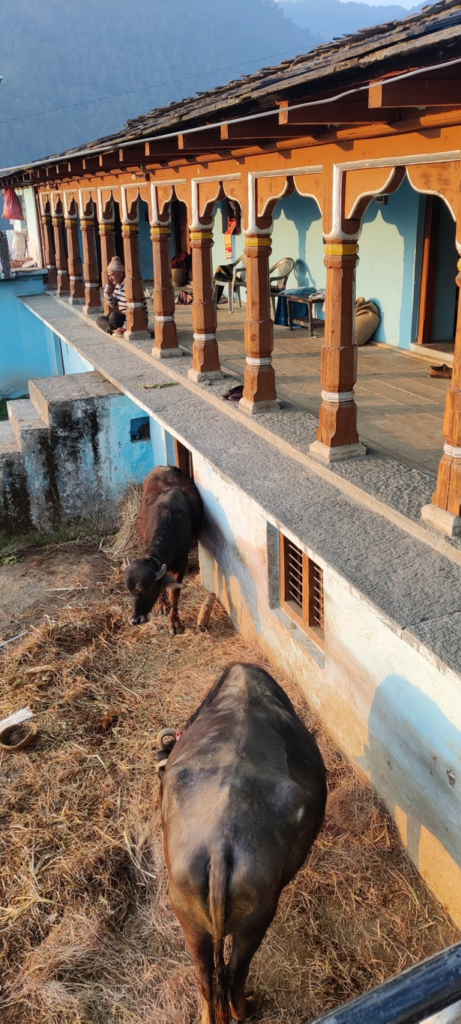
- Tathyur to Rajrajeshwari 18km / 2000m+ from Tathyur in the Aglad river valley we climb up South high above the Belgar Nadi valley across an unnamed pass (2200m) descending Southwest along a ridgeline between the Kholdi Gad and Kali Gad valleys to Rajrajeshwari in the Song river valley. Blog post
- Rajrajeshwari to Maldevta 14km / 700m+ from Rajrajeshwari in the Song river valley we climb up Northeast and descend South along the ridgeline between Song river and Bandal Nadi valleys to Maldevta in the Song river valley
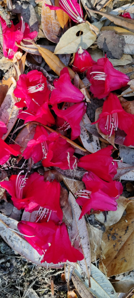
- Rajrajeshwari to Mussourie 12km / 1350m+ starting from Rajrajeshwari village near Dehradun we climb up North high above the West bank of the Sera Gad valley to the Mussourie bypass road at 200m altitude.
- Sunargaon to Ragari 11km / 1200m+ from Sunargaon we climb up Northwest on the ridgeline between Argad Gad and Bal Ganga river valleys to finally descend Southwest to Ragari in the Argad Gad valley.
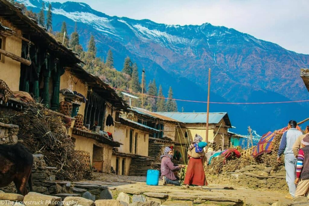
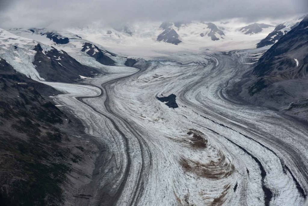
- Gangi to Khatling 22km / 1400m+ from Gangi the last village we proceed North into the Billangana river valley to the tongue of the Khatling glacier (3600m). From here we can proceed to Gangotri via Auden’s Col or Kedarnath via the Mayali pass (see below).
2 National Routes
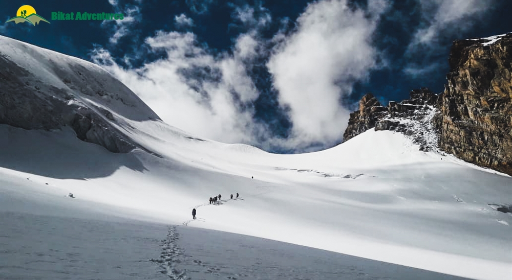
- Gangotri to Khatling 38km / 2600m+ via Auden’s Col (5450m) from Gangotri in the Bhagirathi river valley we climb up South in the Kedar Ganga valley to Kedar Tal (4730m) contouring West into the Rudugaira Gad valley and climbing up South to Auden’s Col descending Southeast Bhilanganga river valley to the tip of the Khatling glacier in Tehri Garhwal
- Khatling to Kedarnath 10km / 1500m+ via Mayali pass (5000m) from the tip of the Khatling glacier in the Bhilanganga river valley we climb up Southeast to the Mayali pass descending East to Vasuki Tal (4300m) and Kedarnath in the Mandakini river valley of Rudraprayag
1 International Route
This inter-state route spans the entire state of Uttarakhand including several of the above regional routes.
- Trans Uttarakhand 550km / 33800m+ – refer detailed post over here
References
Navigation
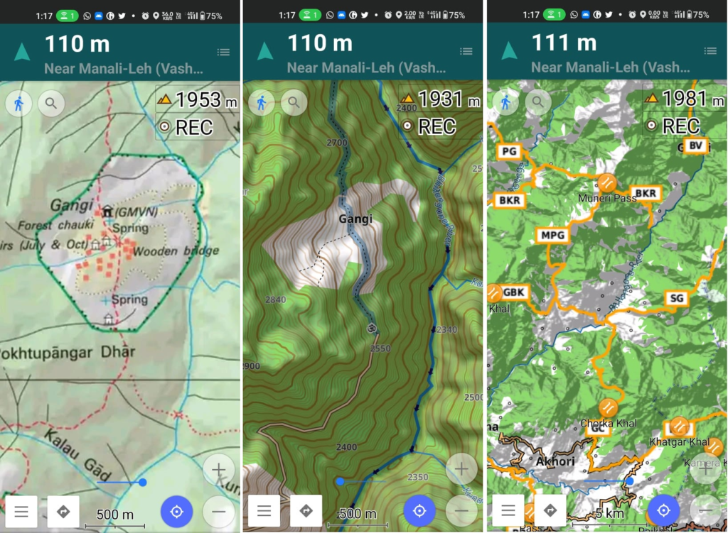
Above traverses can be easily navigated using most mobile mapping apps – many use Open Street Maps as base maps which include tens of thousands of kilometers of trails in Himalayas, Sahyadri, etc. OSM maps can be downloaded on the phone for offline exploration of the mountains without mobile network. Contours can be added to understand the topography of the terrain. Find a short tutorial over here.
