Introduction Leon Perrin (Australia). Looking at the map/weather for Ladakh, Himachal Pradesh and Uttarakhand. Would it be possible/recommended to begin…
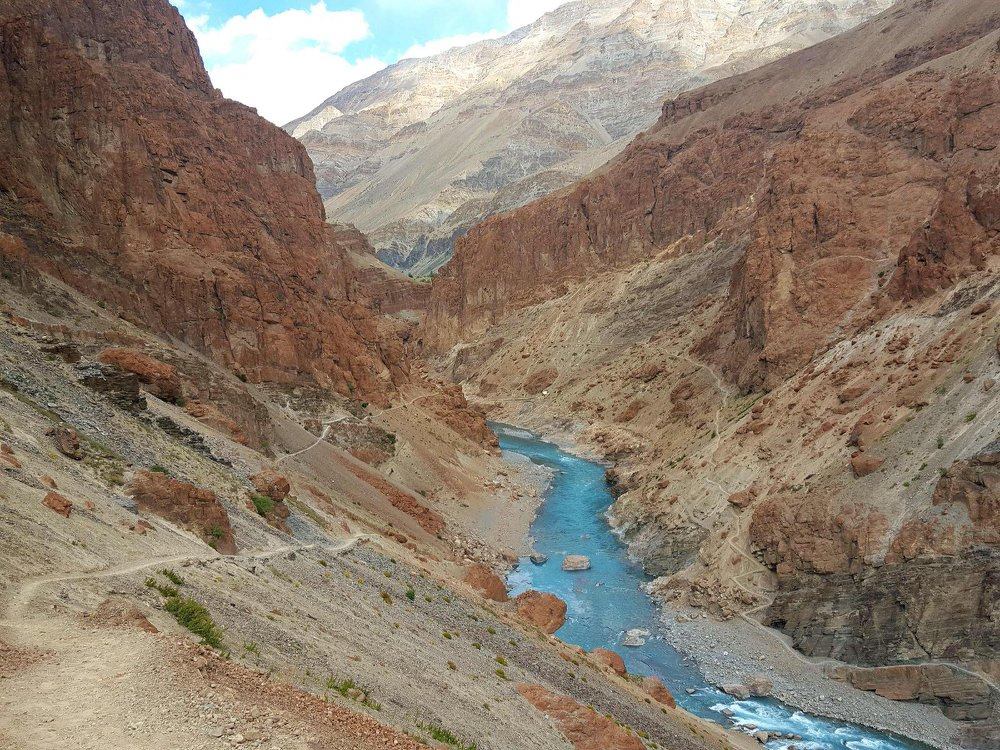
The vivid blue Tsarap river flowing through the brown-orange alpine desert of Zanskar In recent years more than 600 Himalayan…
Spiti is a high-altitude region of the Himalayas, located in the north-eastern part of Himachal Pradesh. The name “Spiti” means…
Kinnaur is located in the East of Himachal Pradesh bound by Spiti (North), China (East), Shimla & Uttarkashi (South) and…
My name is Peter Van Geit, born in Belgium, settled in India in 1998. I worked 20 years as a…
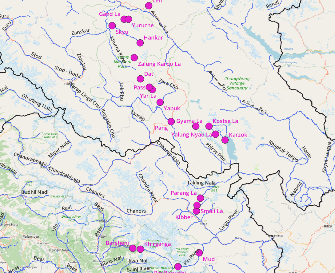
Introduction Gentaro Tsuzuki (Japan). Basically I”ll be attempting a traverse from Kasol to Leh starting early next month and hopefully…
Introduction Peter Jost one of my Patrons. I’ve been a bushwalker in Australia for decades and have walked in Sichuan,…
Geography The Great Himalayan Range (GHR) spans across India, China, Nepal, Pakistan, Bhutan, and Tibet. The world’s highest peaks including…
Geography The Pir Panjal is a prolonged high range stretching out from Kisthwar (West) to Kullu (East) separating Kullu, Chamba…


