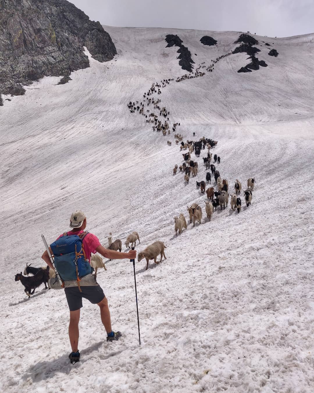
Introduction Gentaro Tsuzuki (Japan). Basically I”ll be attempting a traverse from Kasol to Leh starting early next month and hopefully…

Introduction Gentaro Tsuzuki (Japan). Basically I”ll be attempting a traverse from Kasol to Leh starting early next month and hopefully…
Introduction Peter Jost one of my Patrons. I’ve been a bushwalker in Australia for decades and have walked in Sichuan,…
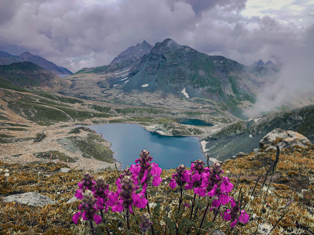
Geography The Great Himalayan Range (GHR) spans across India, China, Nepal, Pakistan, Bhutan, and Tibet. The world’s highest peaks including…
Geography The Pir Panjal is a prolonged high range stretching out from Kisthwar (West) to Kullu (East) separating Kullu, Chamba…
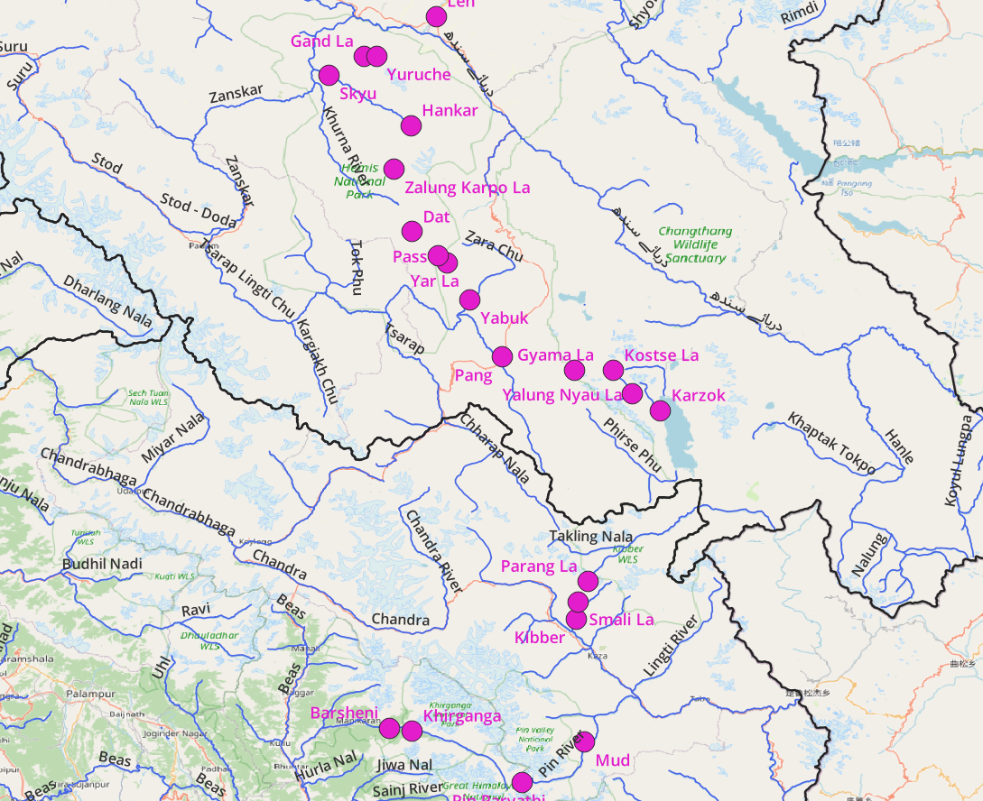
More than 600 hiking routes spanning 12 thousand kilometers across the Western Himalayas have been explored, GPS recorded and accurately…
Geography High Ranges Rivers Lakes Pithoragarh and Bageshwar have a handful of known lakes: Thamri Tal (Munsyari), Devi Kund, Nag…
This post documents hiking routes in the lower / mid ranges of Chamoli (Southwest). Refer this post for routes in…
Source: alpinewanderer, Author: Zeeshan The Pir Panjal Range runs through the middle of the Kashmir valley and separates it from…
Geography Main Rivers High Ranges Peaks There are many well known peaks in Chamoli district part of the above ranges:…