This online course consolidates my extensive alpine hiking experience exploring more than 300 high passes across the Western Himalayas. 50+ modules will familiarize you with important concepts to become an independent alpine explorer. Map reading and route planning, navigation techniques, planning an alpine journey, fast hiking and lightweight gears, Himalayan terrains, GIS analysis of Himalayan geography and hiking trails, Open Street Maps, creating Himalayan maps and atlas and geometrics of the Himalayas.
Knowledge is presented through theory and online hands-on assignments to easily assimilate the learned concepts. The course can be taken up from anywhere, anytime. Submitted assignments are periodically reviewed and personal feedback provided. Students completing the course receive a certificate of completion. Some chapters below are password protected – become a Patreon to unlock all!
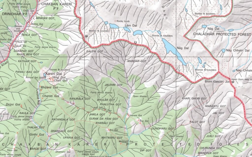
Chapter 1 – Maps / Route planning
Module 1 – Geography of Himalayas
Module 2 – Topography & Contours
Module 3 – Open Street Maps
Module 4 – Traverse Planning
Module 5 – Survey of India
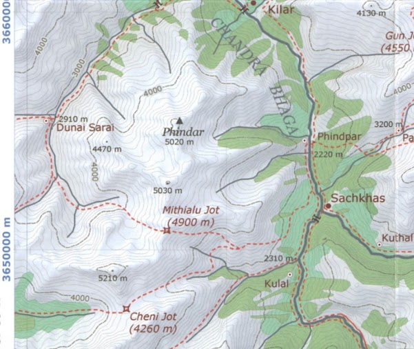
Chapter 2 – Navigation
Module 1 – Mobile / GPS
Module 2 – Geo-referenced maps
Module 3 – Recorded routes
Module 4 – Terrain reference
Module 5 – Off trail (Contours)
Module 6 – Compass
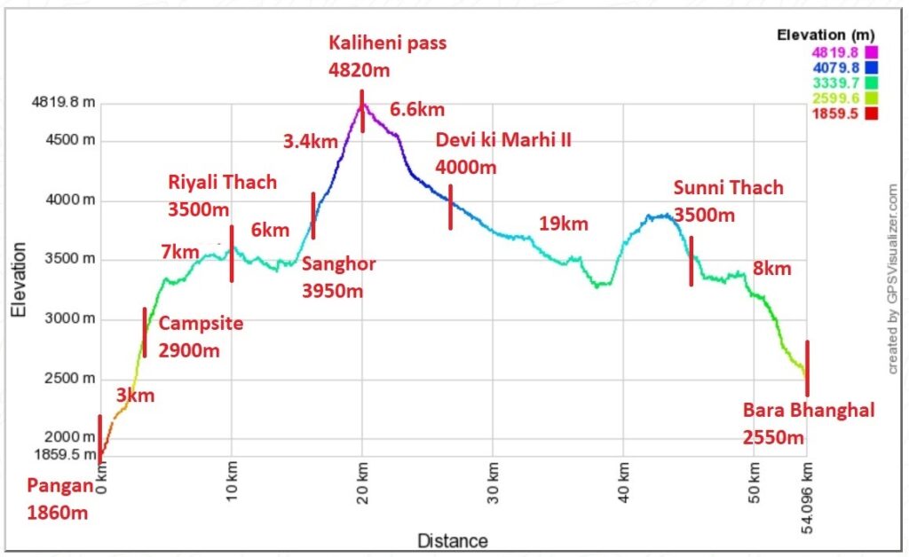
Chapter 3 – Planning your Journey
Module 1 – Elevation profile
Module 2 – Acclimatization
Module 3 – Weather
Module 4 – Seasons
Module 5 – Food planning
Module 6 – Hydration
Module 7 – Night stay
Module 8 – Financial
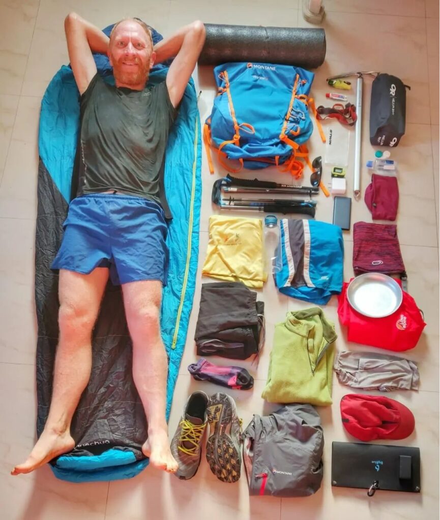
Chapter 4 – Fast hiking & lightweight gears
Module 1 – Clothing
Module 2 – Shoe wear
Module 3 – Backpack
Module 4 – Sleeping bag
Module 5 – Tent
Module 6 – Electronics / Power
Module 7 – Technical gears
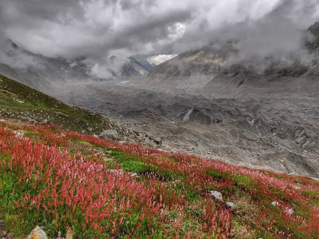
Chapter 5 – Himalayan Terrains
Module 1 – Settlements
Module 2 – Trails
Module 3 – Valleys & Streams
Module 4 – High Ranges & Passes
Module 5 – Forests & Meadows
Module 6 – Rock & Ice
Module 7 – Snow
Module 8 – Wildlife
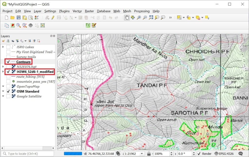
Chapter 6 – GIS
Module 1 – QGIS, freeware GIS
Module 2 – Importing and analyzing data
Module 3 – OSM data
Module 4 – Geo-referencing maps
Module 5 – DEM & contours
Module 6 – Maptiles
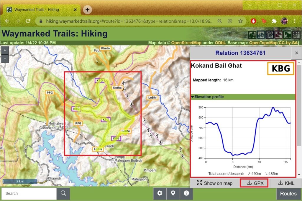
Chapter 7 – Open Street Maps
Module 1 – Getting Started
Module 2 – OSMAnd
Module 3 – Settlements
Module 4 – Trails
Module 5 – Hiking routes
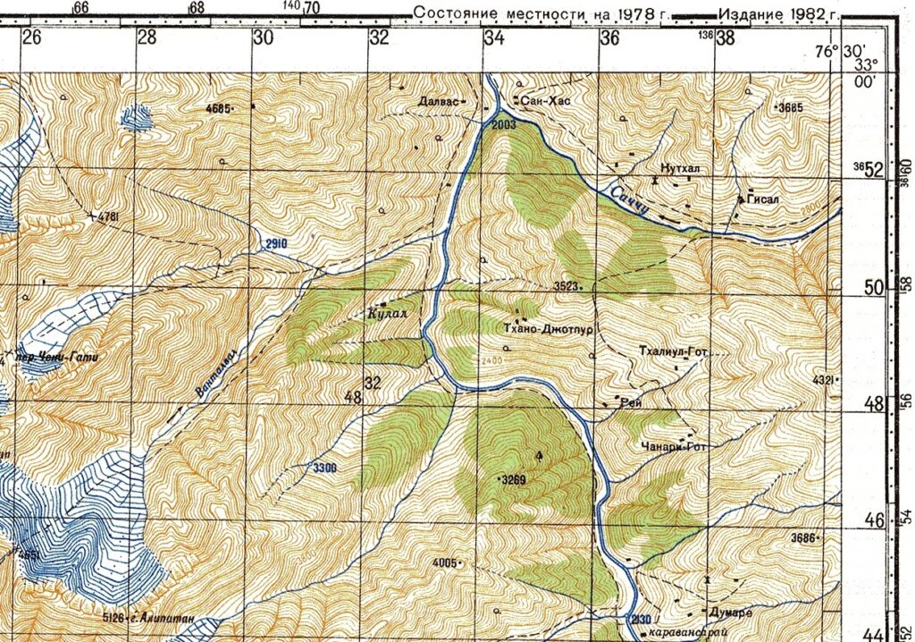
Chapter 8 – Maps of the Himalayas
Module 1 – Olizane Maps
Module 2 – Soviet Maps
Module 3 – AMS Maps
Module 4 – Digitizing features
Module 5 – Analysis
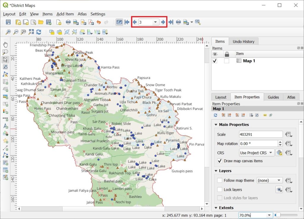
Chapter 9 – Atlas of the Himalayas
Module 1 – Boundaries
Module 2 – Passes, Peaks
Module 3 – Alpine Lakes
Module 4 – Atlas
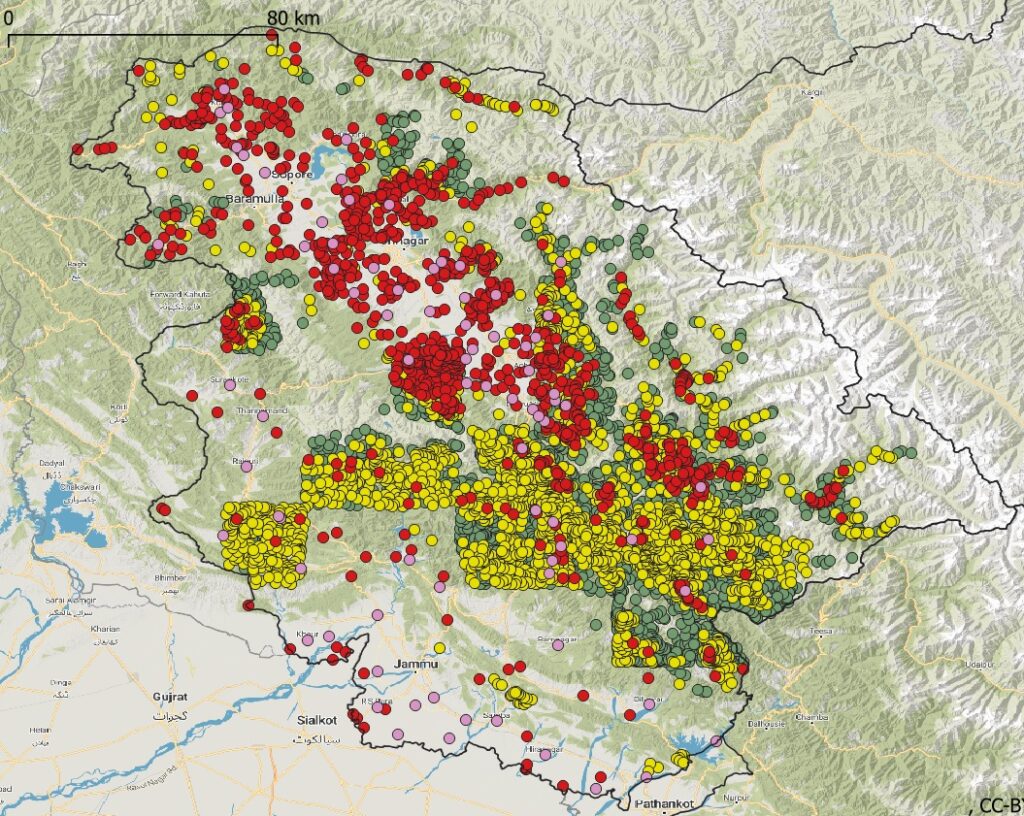
Chapter 10 – Geo-metrics of the Himalayas
Module 1 – Mountain Passes
Module 2 – Lakes & Glaciers
Module 3 – Settlements
Module 4 – Settlements/2
Module 5 – Hiking Routes
Module 6 – Hiking Routes/2
Module 7 – Digitized Trails
Module 8 – Himalayan Rivers
Module 9 – Topography

How can I access this course?
Just click on the links to get started. It’s free, it’s online and can be done anytime