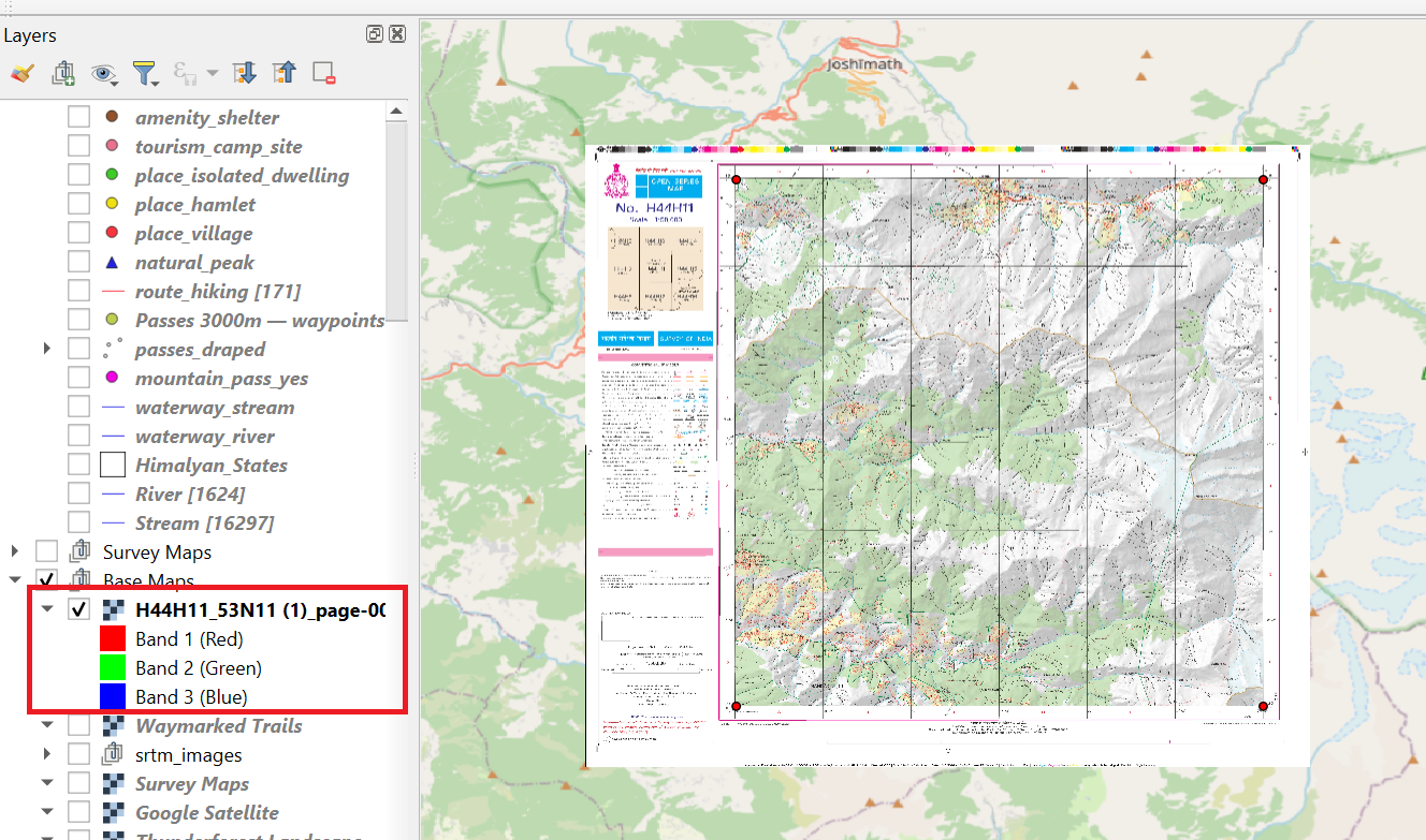
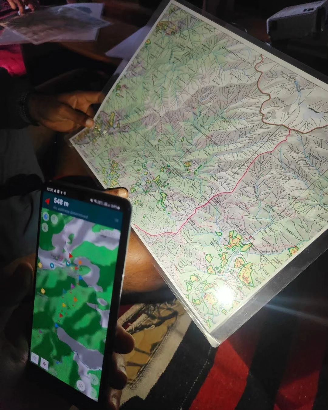
In this chapter we will be downloading & geo-referencing legacy maps like 1:50K Survey of India and 1:100K Soviet Army…

In this chapter we will be downloading & geo-referencing legacy maps like 1:50K Survey of India and 1:100K Soviet Army…
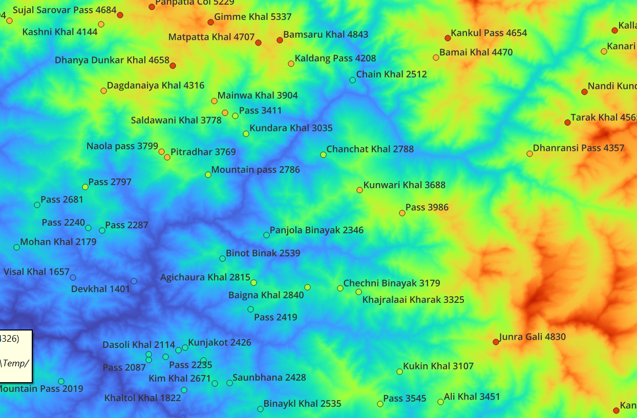
In this module we will be download satellite generated Digital Elevation Model (DEM) data, extract elevation data for Himalayan features,…
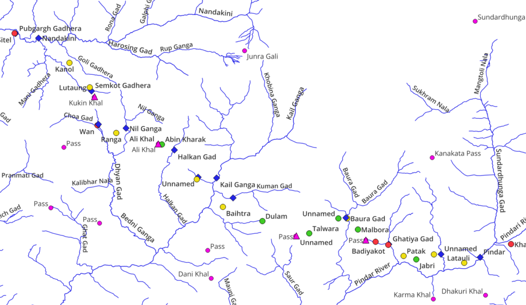
In part 3 we will start planning Himalayan traverses via continuous hiking routes across multiple mountain passes planning for in-between…
In Part 1 we explained how to add different base map layers to QGIS allowing us to bring up different…
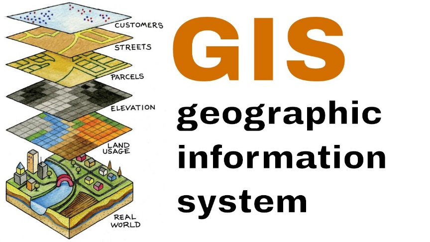
In this first part we provide an introduction to GIS and how to add different base map layers to QGIS…
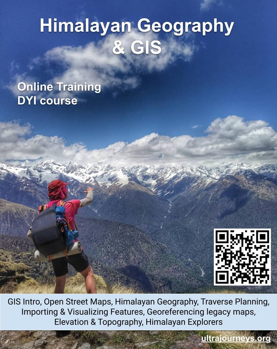
Register here to participate in the online training sessions What In this online training series we combine the power of…
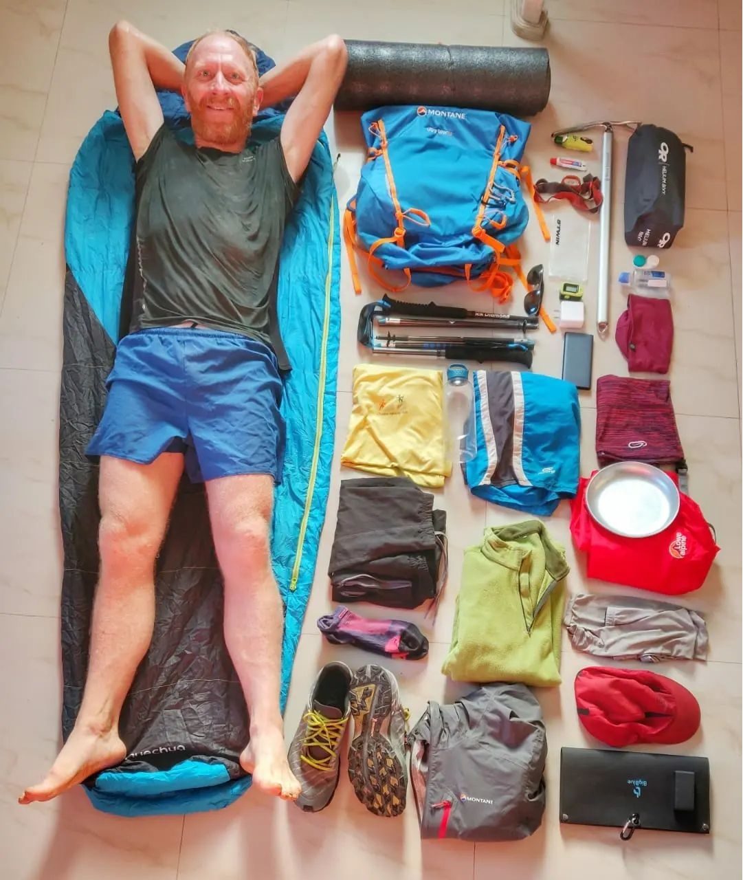
Students will master the art of alpine style hiking in the Himalayas through 16 hands-on modules covering all key aspects…
Stories over here Photos View this post on Instagram A post shared by Peter Van Geit (@petervangeit) View this post…
Link to the full journal over here
Alpine Hiking Bootcamp. This DIY course consolidates my extensive alpine hiking experience exploring more than 300 high passes across the…