Dharamshala, located at the base of the Dhauladhar is a popular tourist and hiking destination in Kangra district of Himachal.…

Dharamshala, located at the base of the Dhauladhar is a popular tourist and hiking destination in Kangra district of Himachal.…
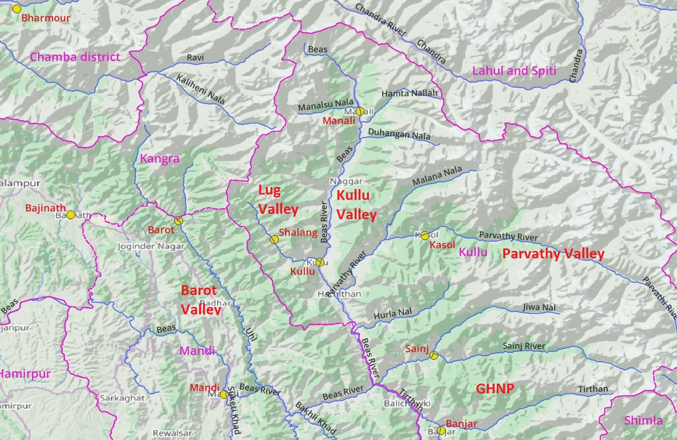
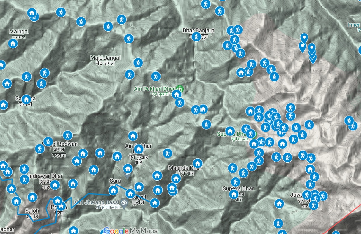
In this post I present an overview of the extensive mapping efforts done in the larger Kullu region and pending…
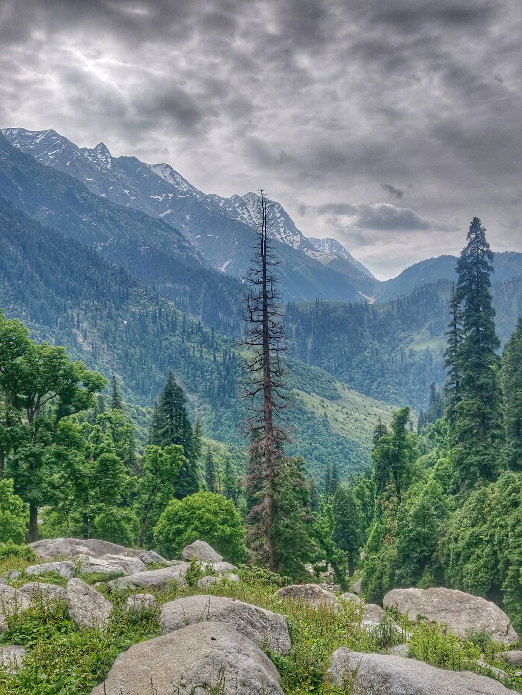
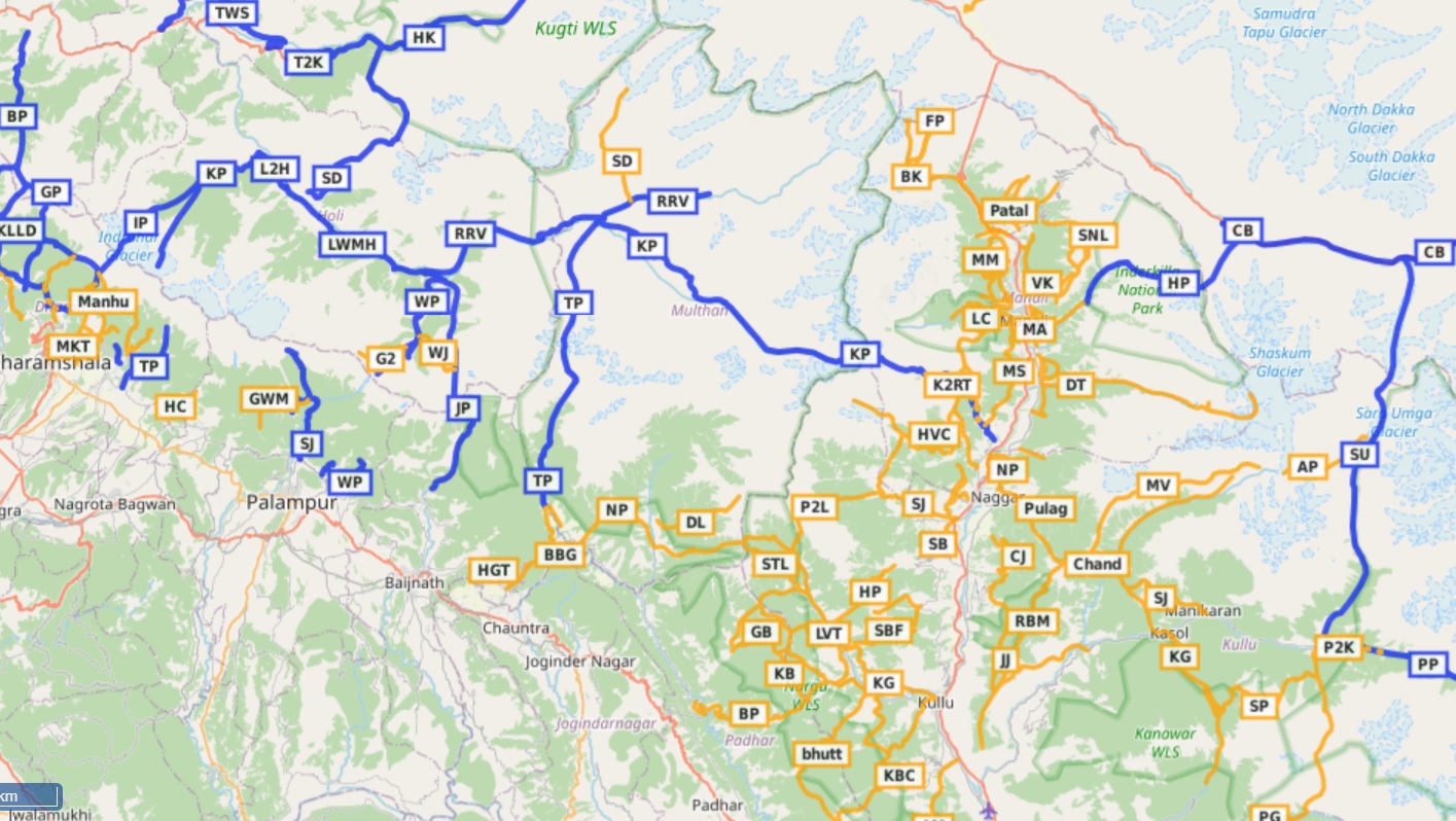
Manali is a well known destination for the outdoor community offering many beautiful hiking routes through pine forests and meadows…
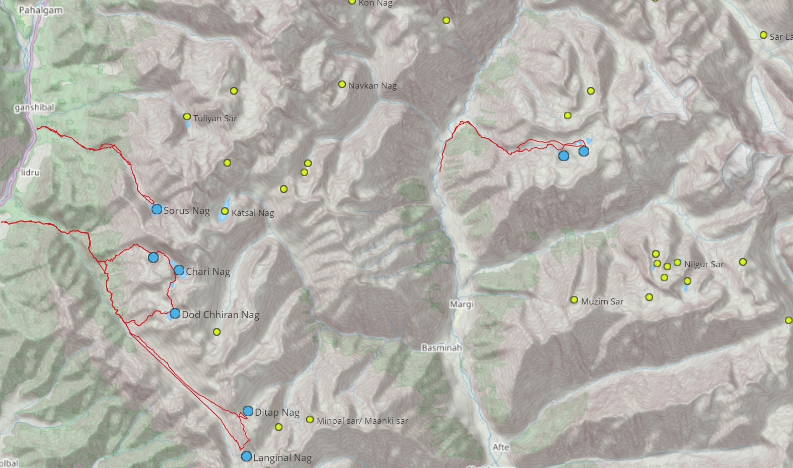
This page consolidates explorations by @zeeshanmushtaqq of alpine lakes in Kashmir. More details on the blog alpinewanderer Overview map of…
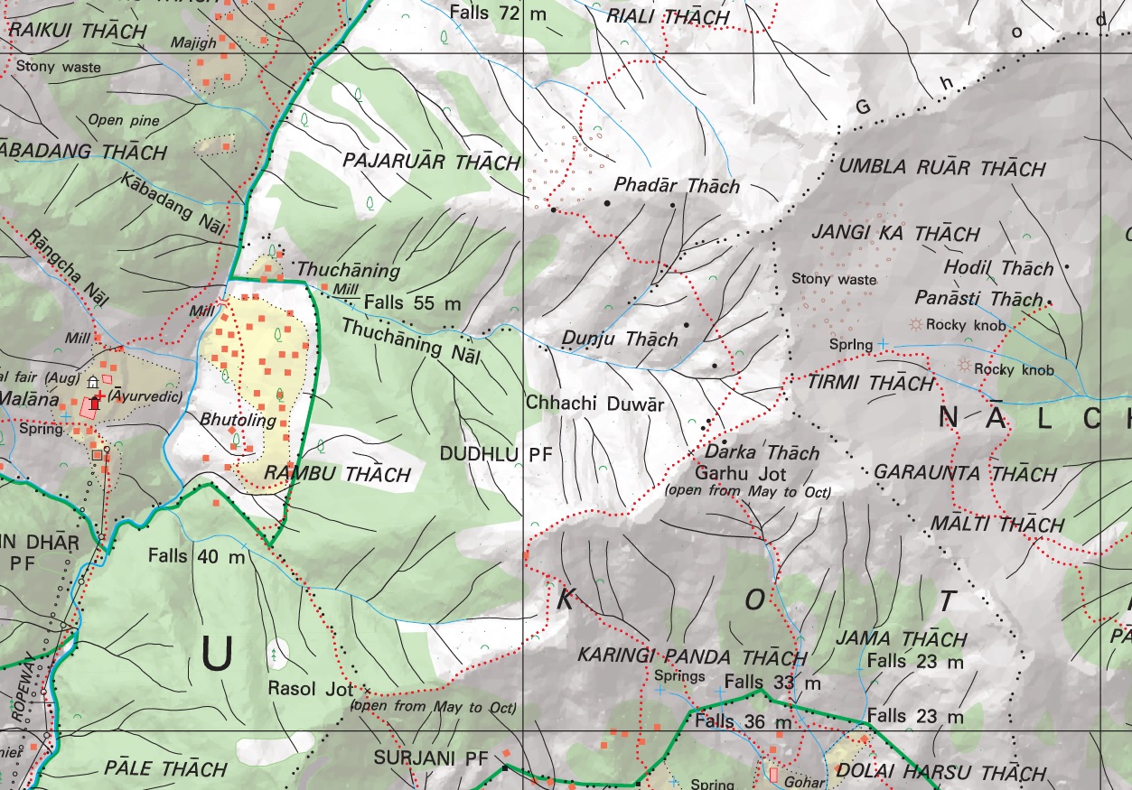
Introduction No doubt the most detailed topographic maps of the Western Indian Himalayas are published by the Survey of India.…
Open Street Maps This post provides a step by step tutorial on how to start hiking in the Himalayas. Focus…
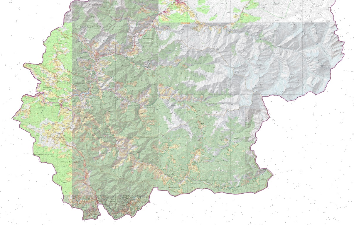
The Western Indian Himalayas consist of 4 states (Himachal, Ladakh, Uttarakhand, Jammu & Kashmir) and 40 districts: Find here high resolution maps for each district which can be used for planning your Himalayan traverses. These maps contain a wealth of terrain details for the outdoor community:

Below maps are blueprints for potential future Himalayan exploration. A humongous effort went into identifying unexplored trails and settlements using…