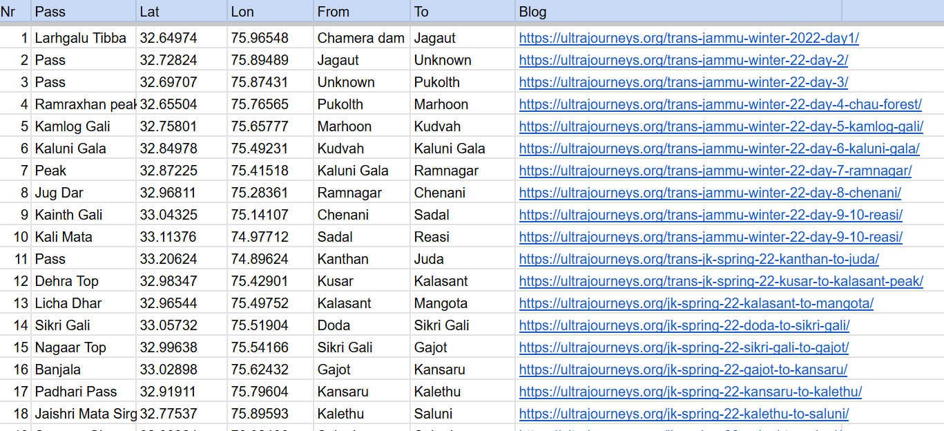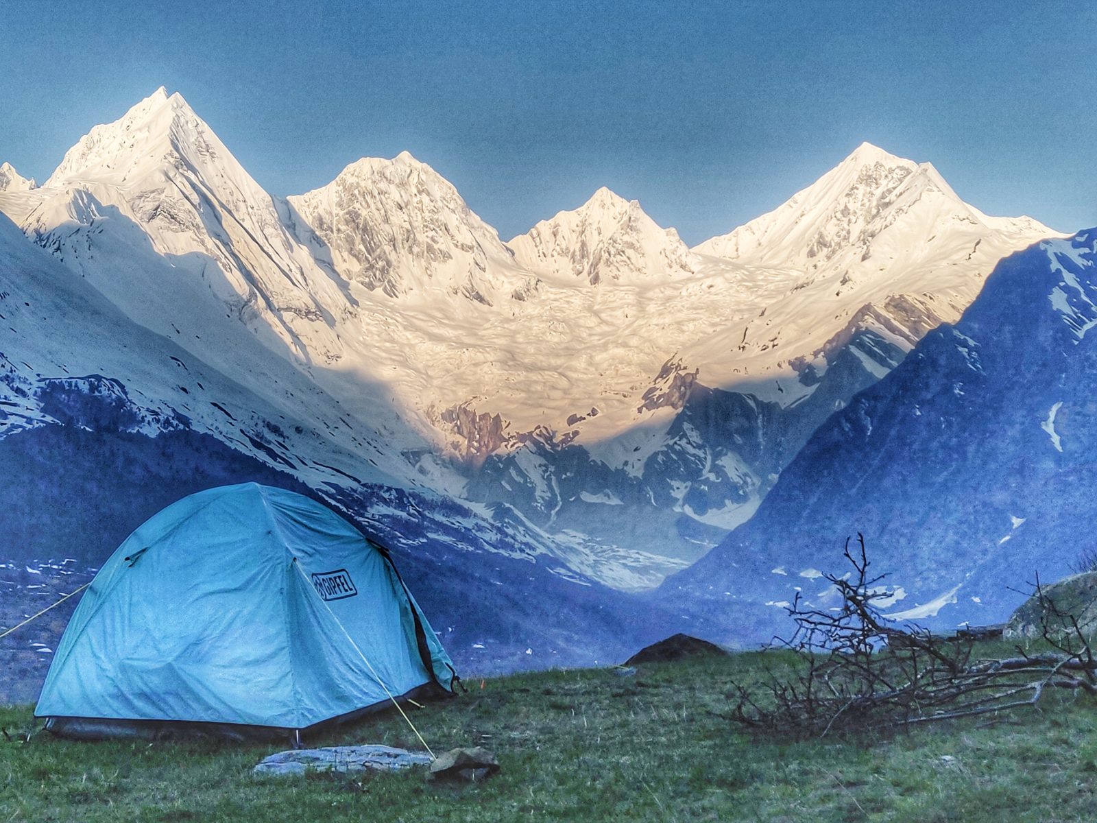
The Great Western Himalayan Traverse (GWHT) is a 950km high altitude trans Himalayan traverse through the Indian Western Himalayas across…

The Great Western Himalayan Traverse (GWHT) is a 950km high altitude trans Himalayan traverse through the Indian Western Himalayas across…
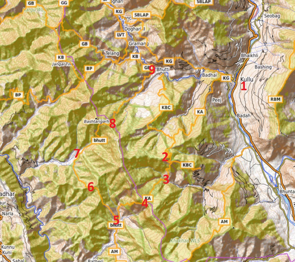
Recently a friend of mine asked me to suggest a nice 3 day / 2 night Himalayan traverse for him…
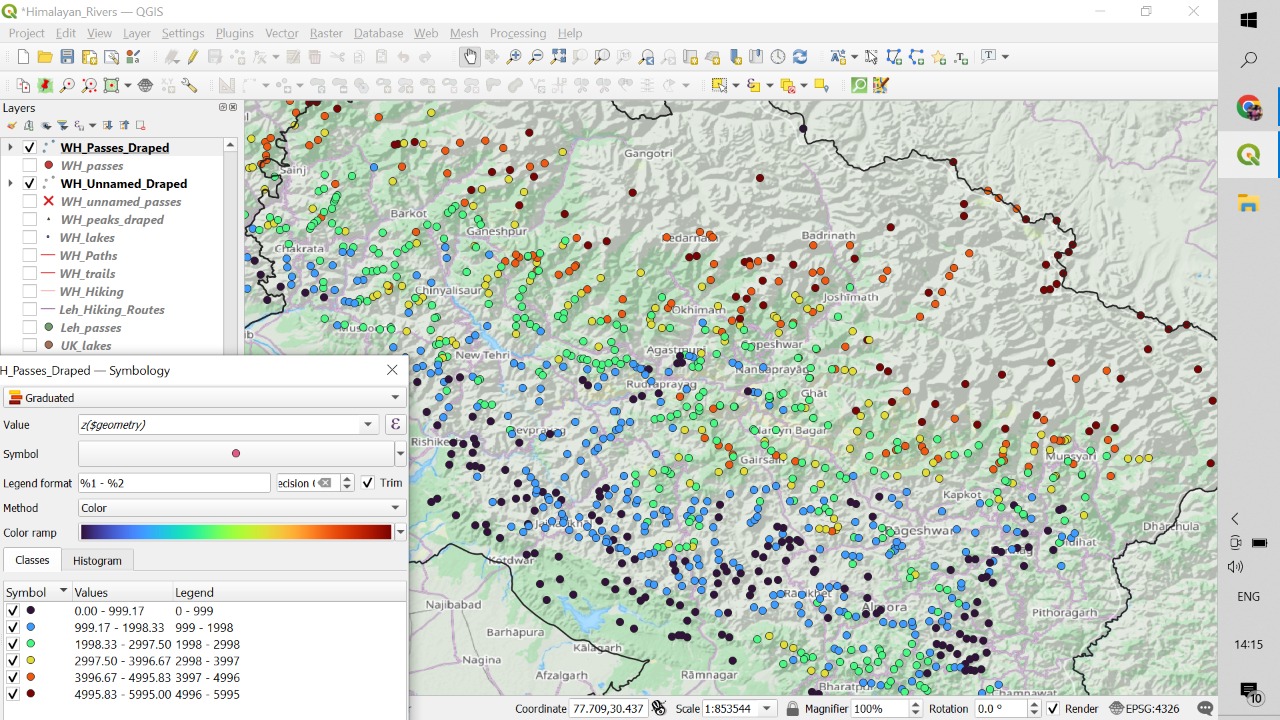
While planning a traverse through the Himalayas we need to take into account the seasons. During winter the snowline descends…
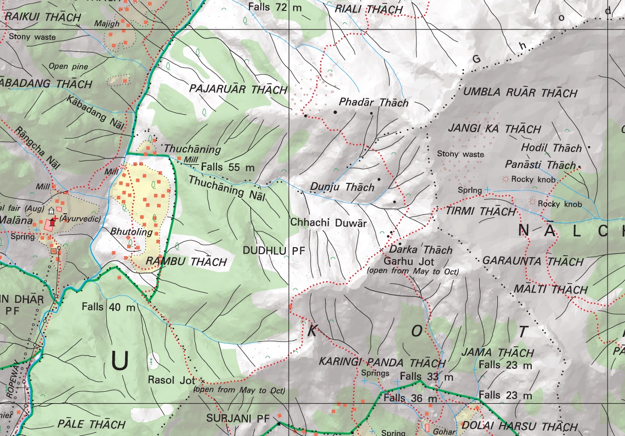
Introduction No doubt the most detailed topographic maps of the Western Indian Himalayas are published by the Survey of India.…
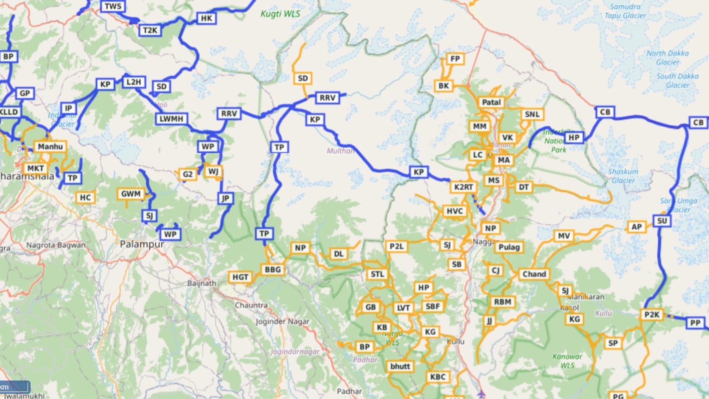
Open Street Maps This post provides a step by step tutorial on how to start hiking in the Himalayas. Focus…
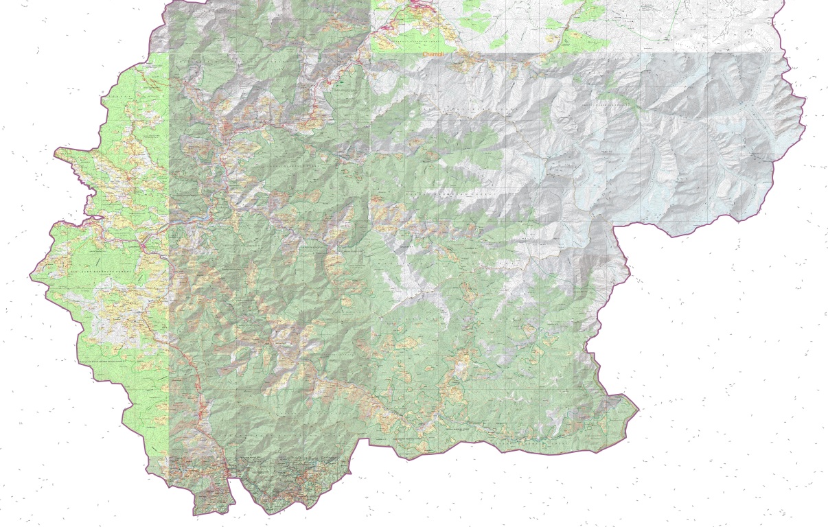
The Western Indian Himalayas consist of 4 states (Himachal, Ladakh, Uttarakhand, Jammu & Kashmir) and 40 districts: Find here high resolution maps for each district which can be used for planning your Himalayan traverses. These maps contain a wealth of terrain details for the outdoor community:

The lack of accurate, detailed maps have always hampered independent hikers to explore the Himalayas. Initiated during the 2020 lockdown…
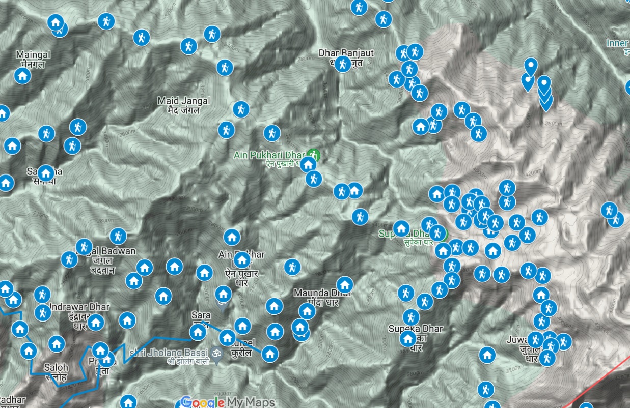
Below maps are blueprints for potential future Himalayan exploration. A humongous effort went into identifying unexplored trails and settlements using…