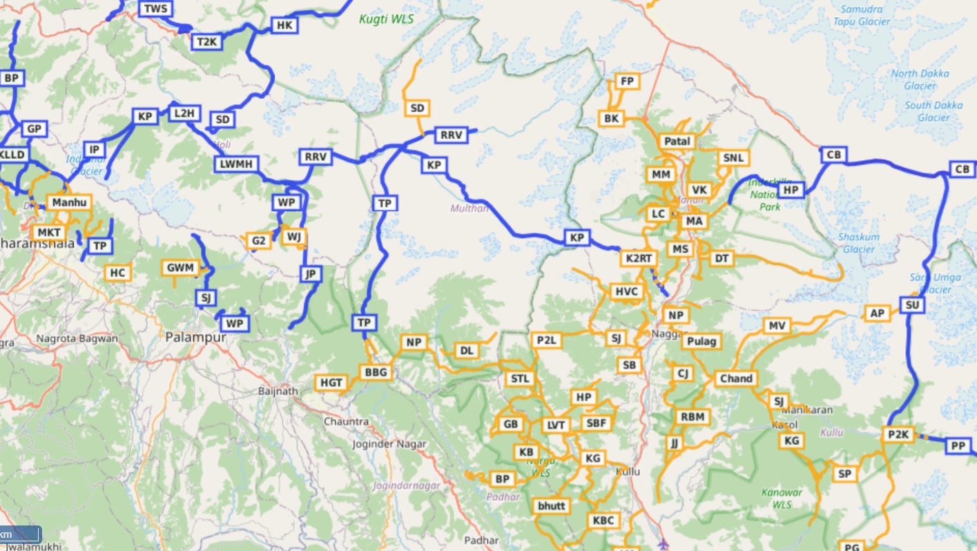
Open Street Maps This post provides a step by step tutorial on how to start hiking in the Himalayas. Focus…

Open Street Maps This post provides a step by step tutorial on how to start hiking in the Himalayas. Focus…
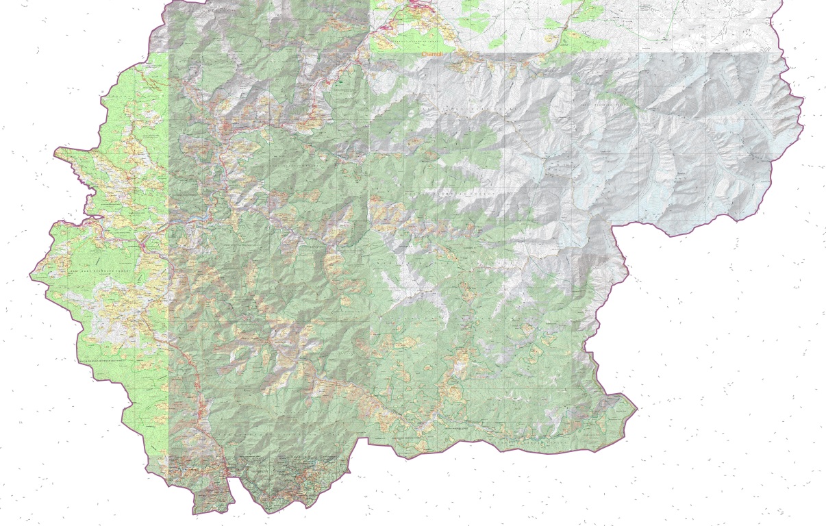
The Western Indian Himalayas consist of 4 states (Himachal, Ladakh, Uttarakhand, Jammu & Kashmir) and 40 districts: Find here high resolution maps for each district which can be used for planning your Himalayan traverses. These maps contain a wealth of terrain details for the outdoor community:

This online course consolidates my extensive alpine hiking experience exploring more than 300 high passes across the Western Himalayas. 50+…
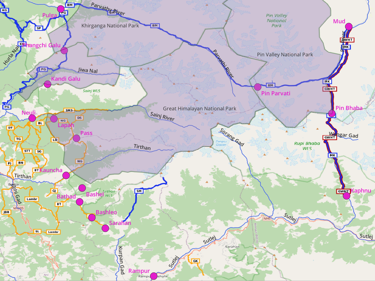
Introduction Yuvaraj who completed my Online Alpine Bootcamp was requesting for a nice 10 day circuit near Manali for the…
The lack of accurate, detailed maps have always hampered independent hikers to explore the Himalayas. Initiated during the 2020 lockdown…
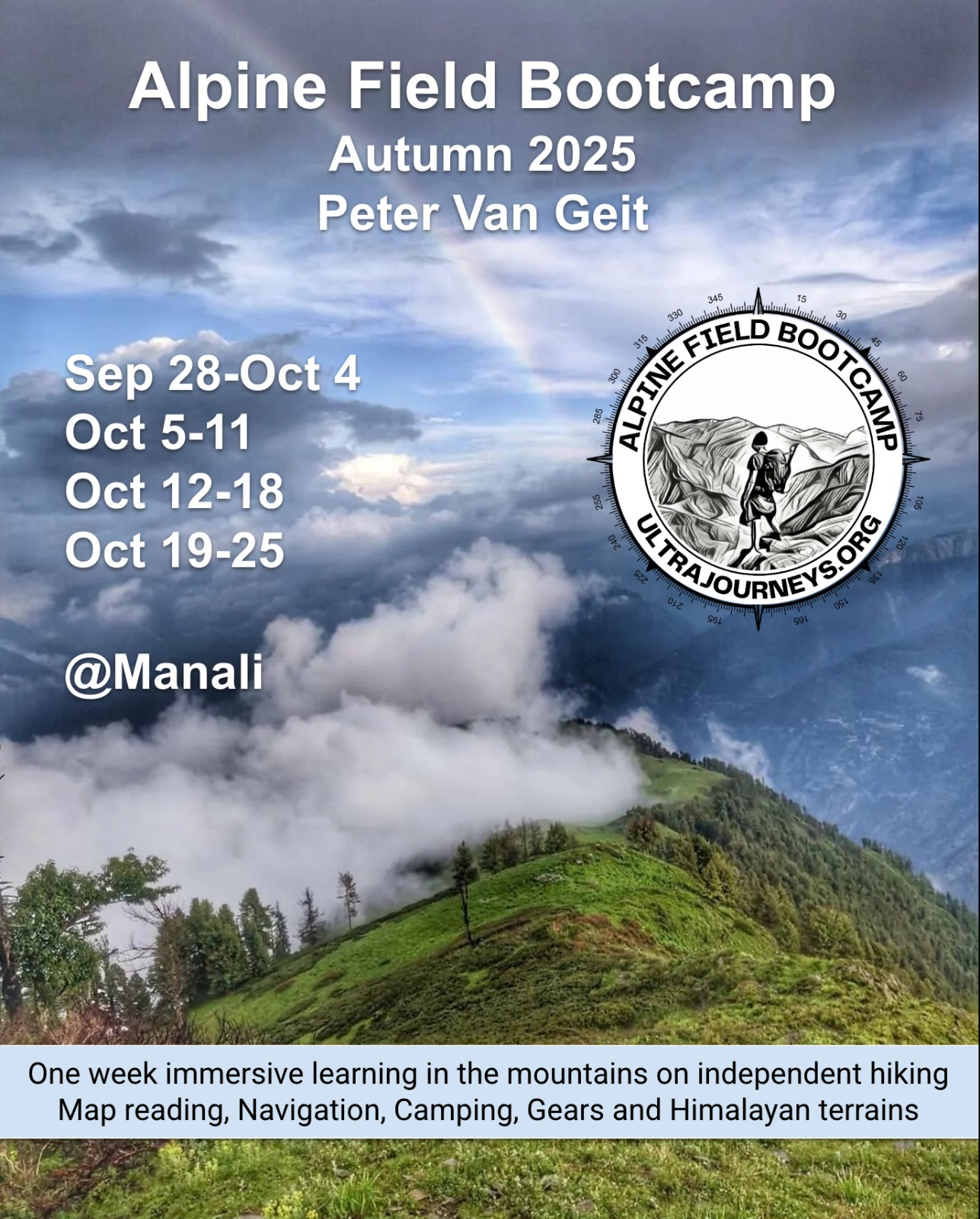
Spring 2025 Autumn 2025 – Register here The Alpine Field Bootcamp at Manali is a one week experiential learning in…

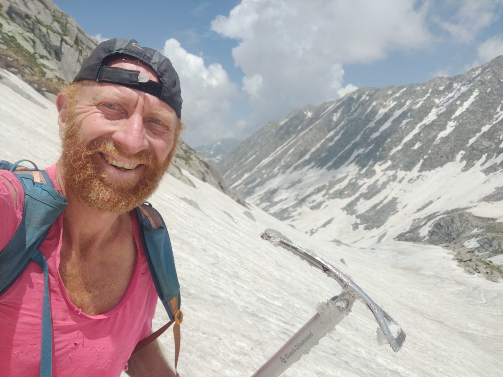
About Guest Peter Van Geit was born in Belgium and settled in India for the past two decades. He loves…
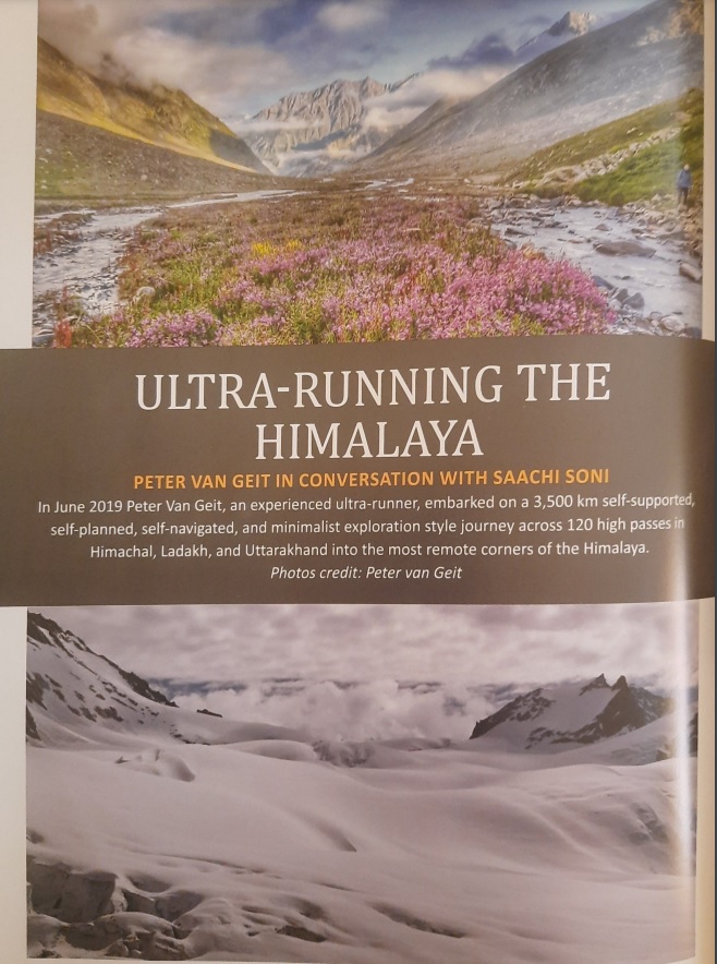
Peter Van Geit in conversation with Saachi Soni In June 2019 Peter Van Geit, an experienced ultra-runner, embarked on a…
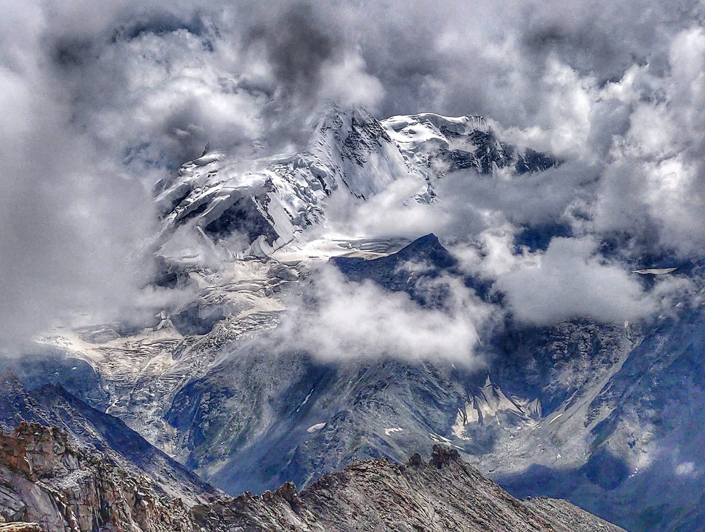
Traversing a 2500m high snow covered ridgeline in February in Udhampur district separating the Ramnagarwali Khad and Tawi river valleys…