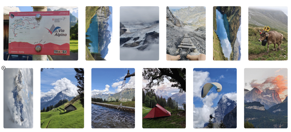
In Sep 2026 I completed a beautiful 700km solo hike across the Alps (Swiss, Austria) over 30 passes / 40 thousand meters elevation gain (~25 Hampta passes) from Chamonix to Munich. Well maintained long distance network “Via Alpina” well marked on ground and OSM. Everyone hikes independently, no organised groups. Alpine zone starts at 2000m. Equally beautiful as the Himalayas but less adventurous. Budget 150 euros. Route planning over here.
- Alps vs Himalayas
- Route Network
- Terrain
- Food Supply
- Night Stay
- Hydration
- Gears
- Power
- Hygiene
- Navigation
- Communication
- Payments
- Travel
Alps vs Himalayas
Alps
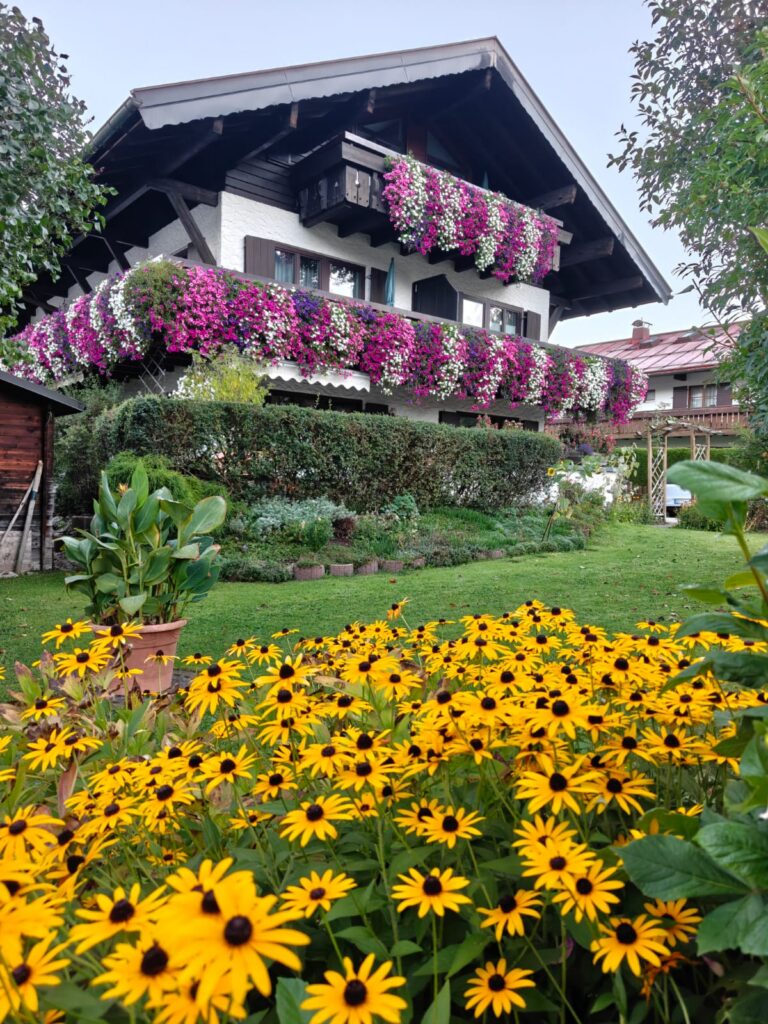
- Touristic, developed
- Commercial
- Expensive (15 Euro/day)
- Well maintained hiking network
- Well marked on ground and OSM
- Detailed maps, routes
- Everyone hikes independent
- Alpine zone ~ 2000m
- Mountain passes ~ 2000-3000m
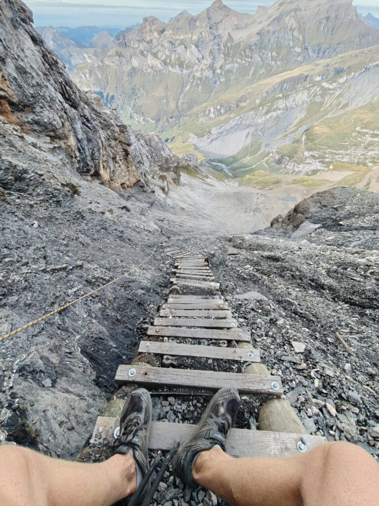
- Ladders and ropes on technical sections
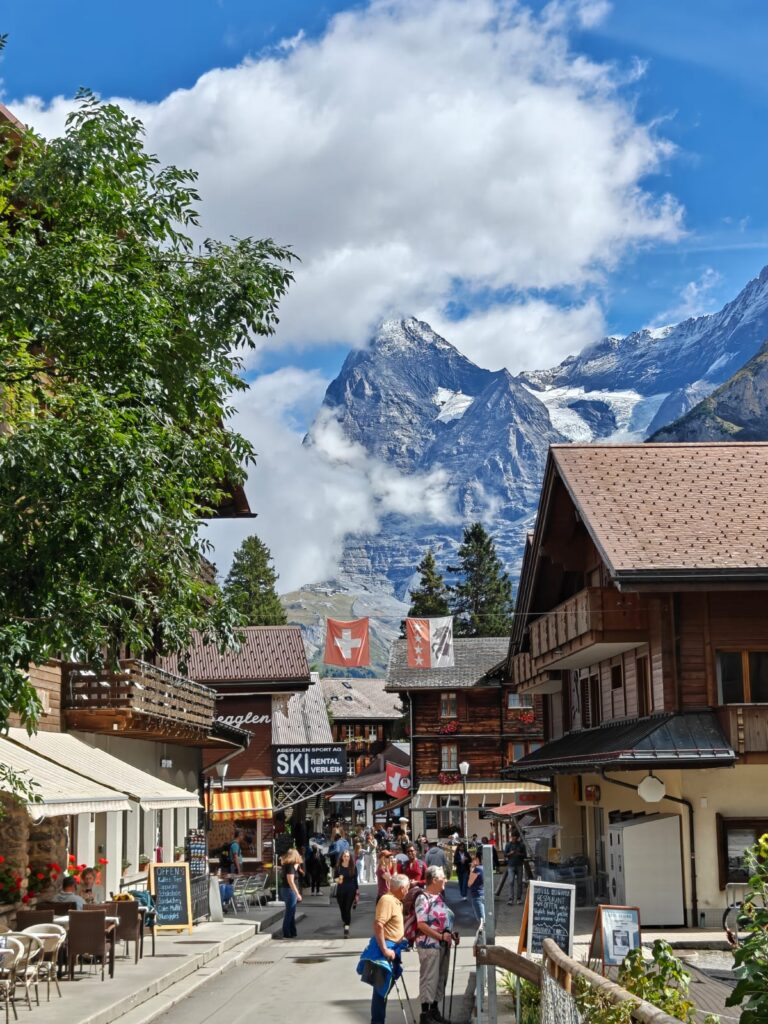
- Local farmers herding cows
- Food supply in alpine huts, restaurants
- Night stay in alpine huts, hotels
- Cable carts, ski pistes, alpine huts
- Glaciers mostly gone
Himalayas
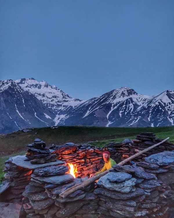
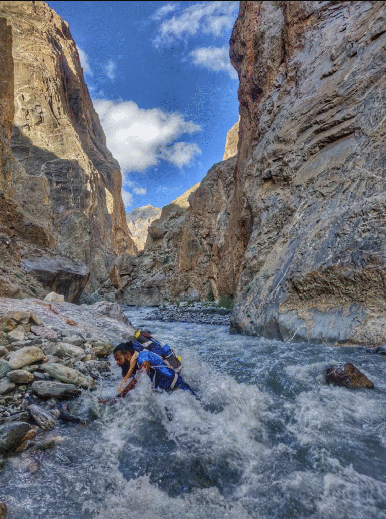
- Adventurous, wild
- Welcoming, hospitality
- Cheap (200 Rs/day)
- Nomadic and local grazing trails
- No ground markings, partly mapped in OSM
- Legacy survey maps, lots unexplored
- Mostly commercial hiking groups
- Alpine zone ~ 4000m
- Mountain passes 4000-5000m
- No safety measures
- Nomadic shepherds, bakerwals
- Food supply in hamlets, dhabas
- Camping
- No outdoor infrastructure
- Glaciers partly in tact
Route Network
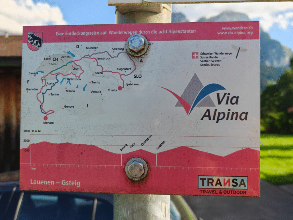
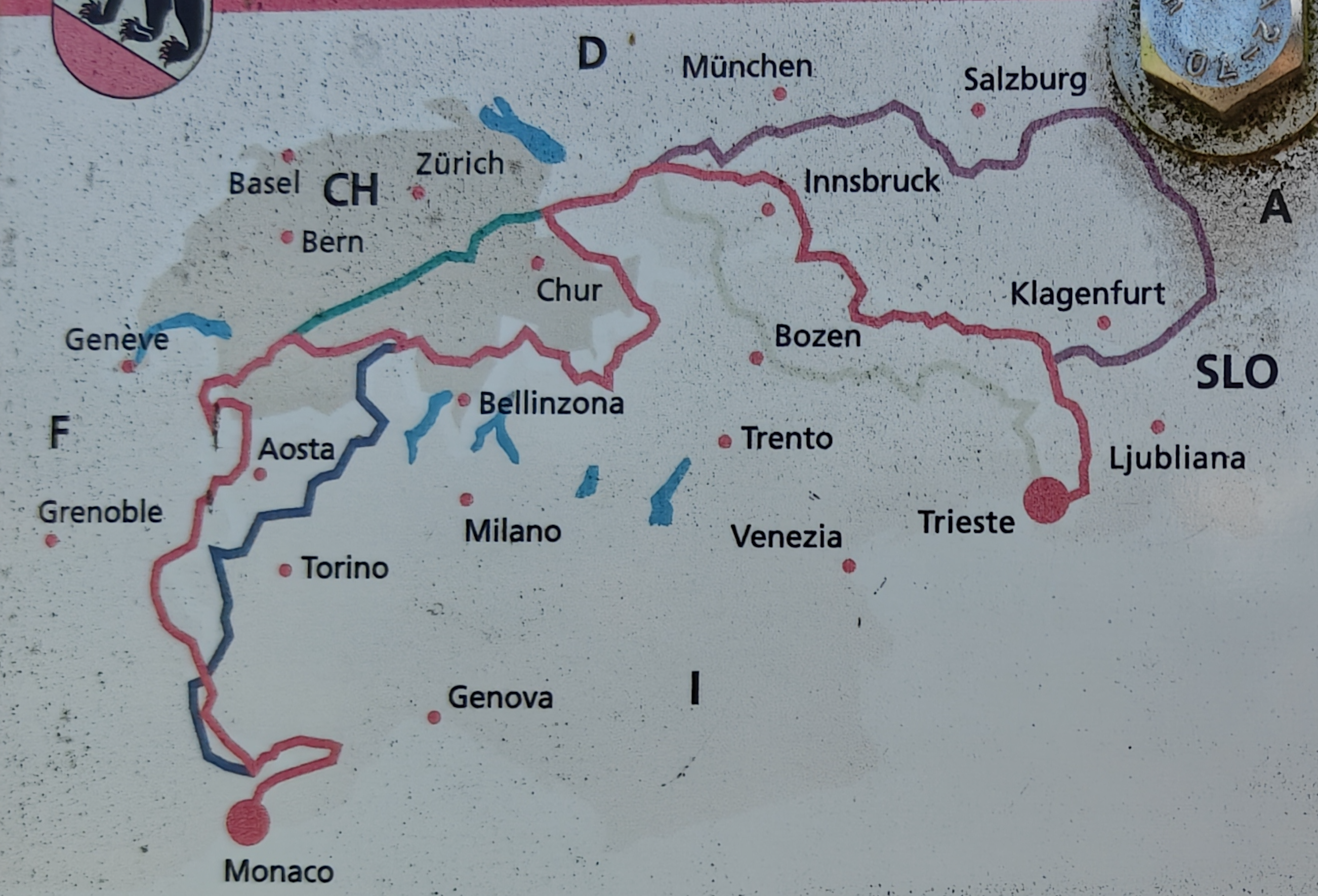
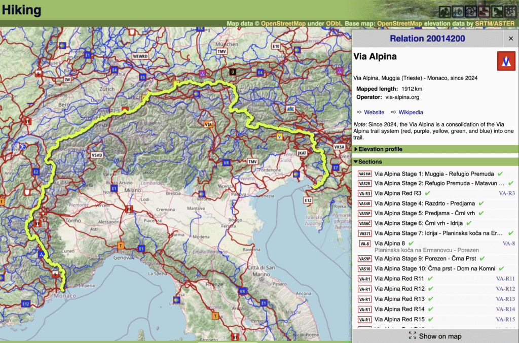
Via Alpina is a long distance hiking network across the Alps spanning 8 countries: Monaco, France, Swiss, Austria, Italy, Lichtenstein, Germany and Slovenia. The Via Alpina network is composed of 4 individual sections identified by colour: red, blue, green and pink which can be combined as you like. The Alps consists of a vast hiking network defined in Open Street Maps and easily viewed in Waymarked Hiking Trails made up of red (continental), blue (national), orange (regional) and purple (local) hiking routes.
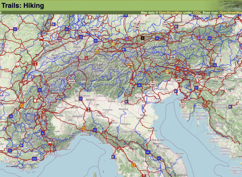
Via Alpina’s are marked in red (continental) in OSM. Click on any Via Alpina section (red, blue, green, pink “V” symbol) to view the overall route and stages:
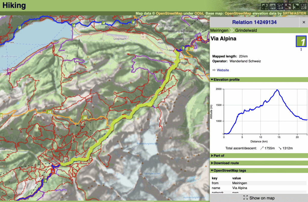
Click on individual stages to view an elevation profile, distance and elevation gain.
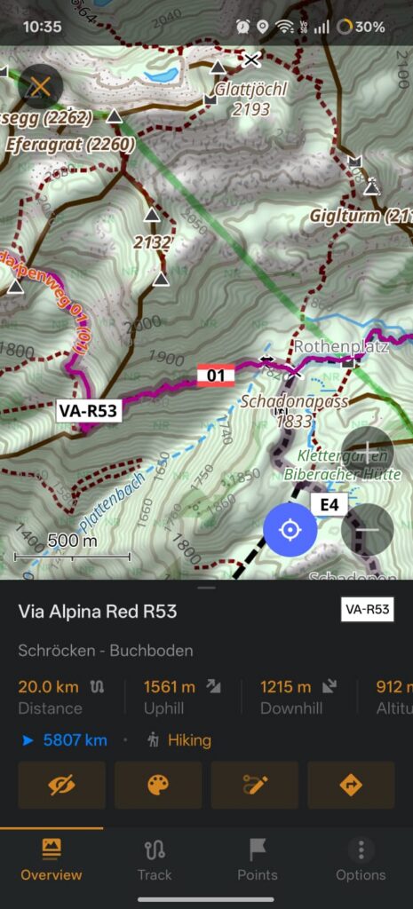
Route marking is excellent both on the ground (sign boards, paint markings, maps) as well as on Open Street Maps (phone navigation). Individual stages are mapped as Red/Green/Blue/Violet with stage numbers: e.g. VA-R53.
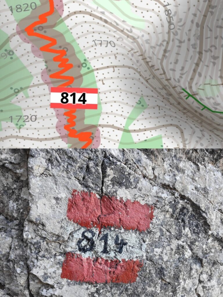
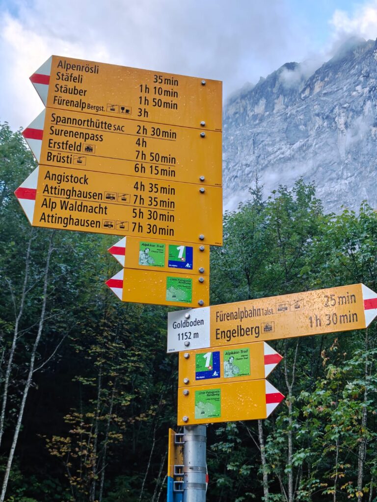
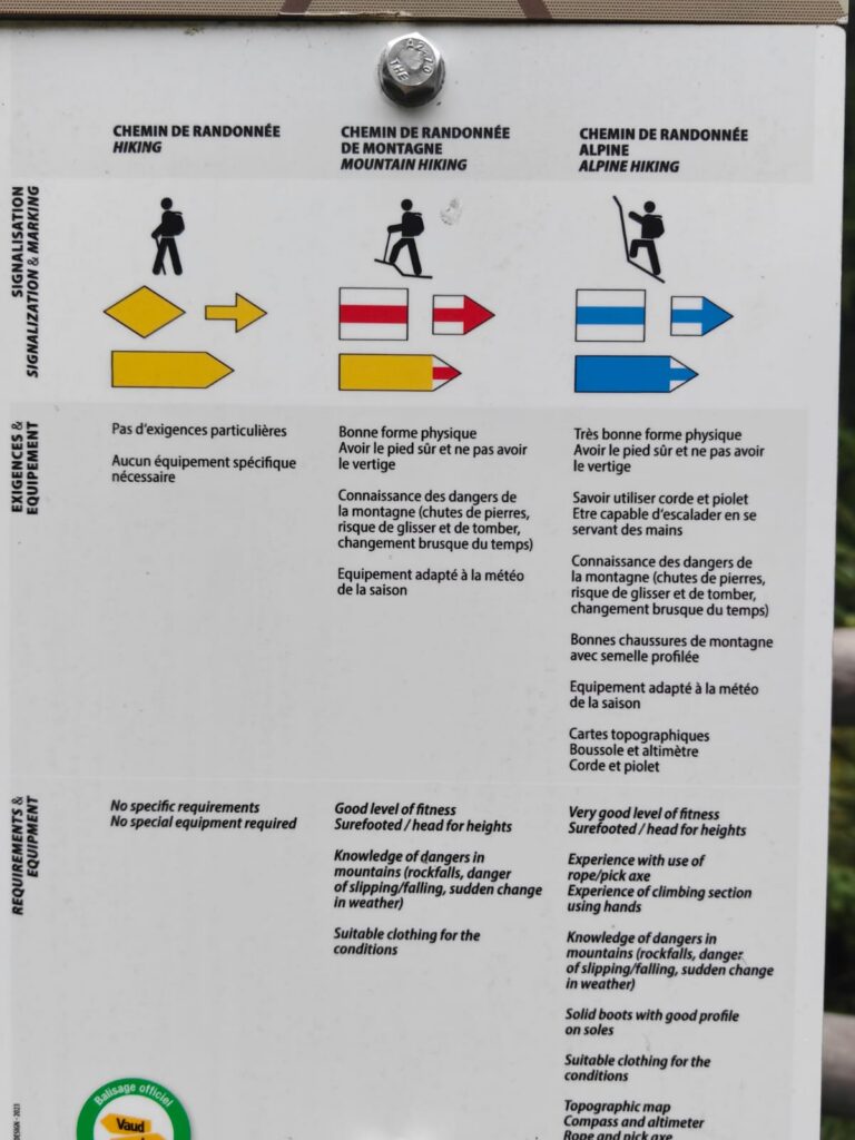
Clear signboards are placed at important intersections indicating locality, altitude, possible directions, difficulty and duration making it easy for the hiker to stay on track and on time. Trail sections are marked as yellow (basic), white/red (intermediate) and white/blue (technical). Transport facilities (cable cart, bus, train…) are also given.
Terrain
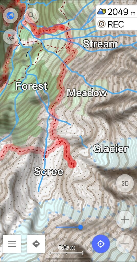
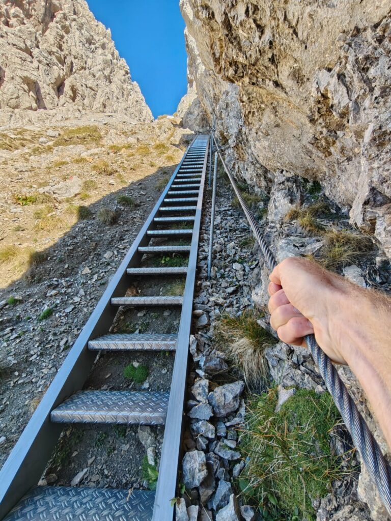
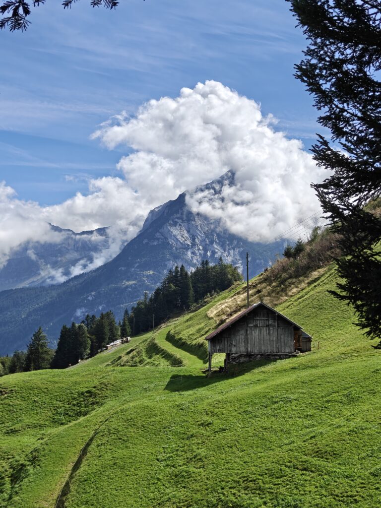
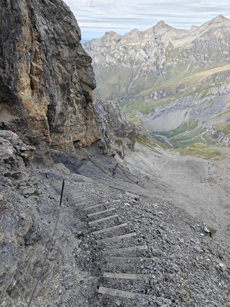
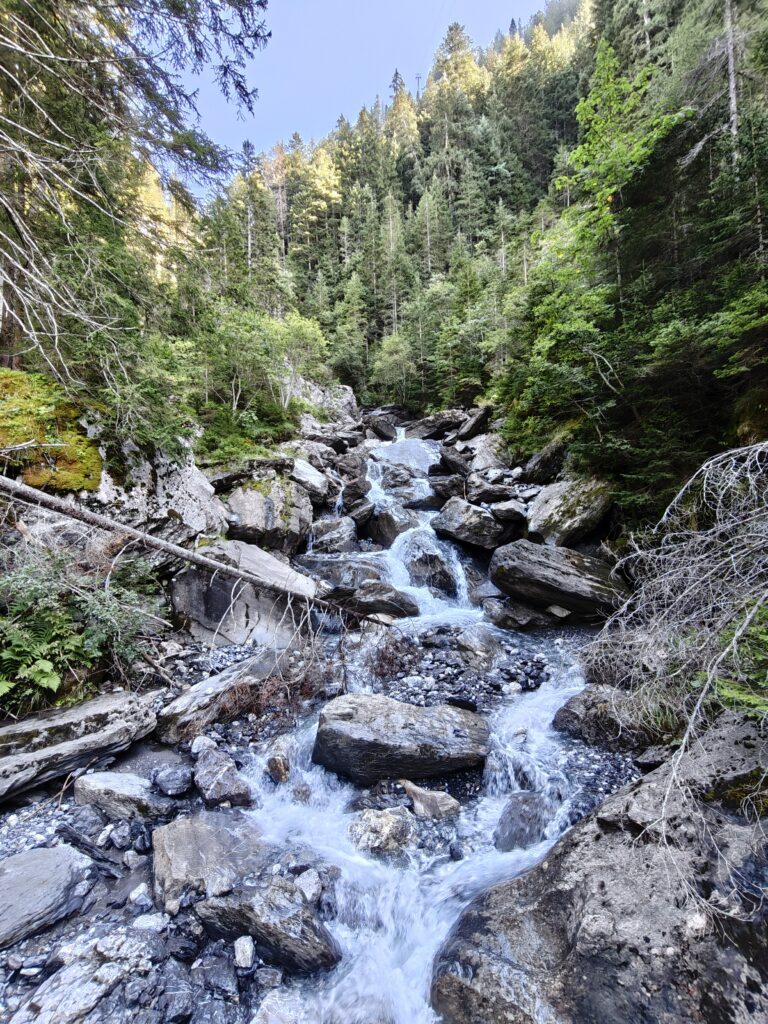
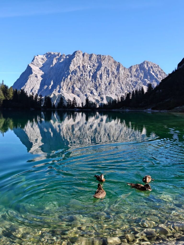
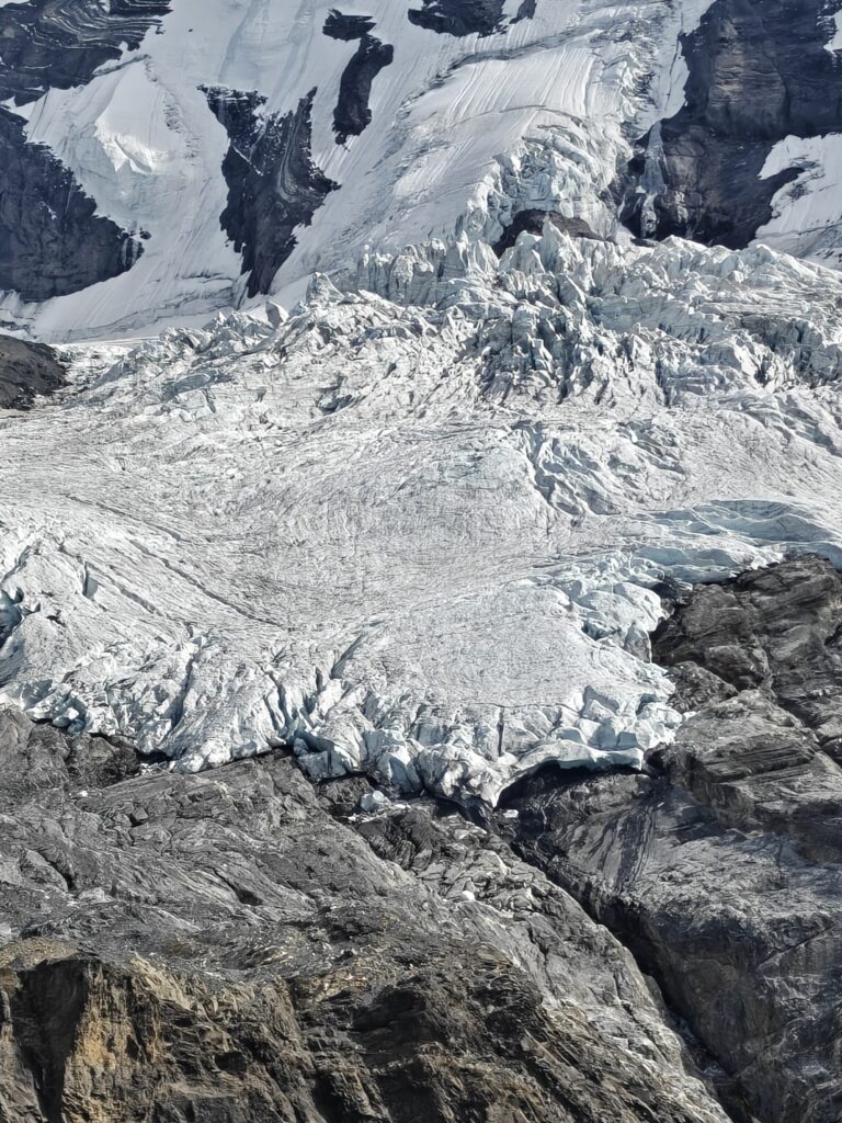
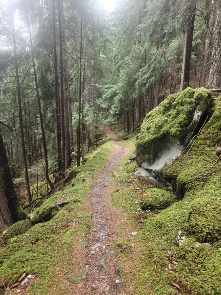
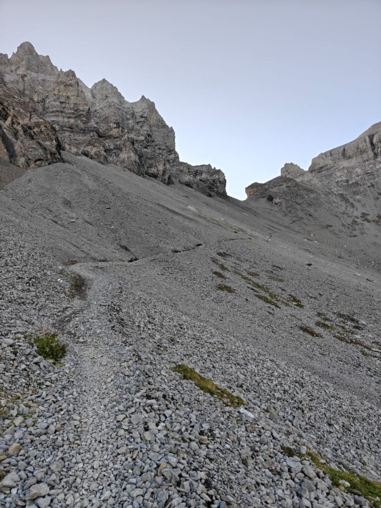
As we hike through the alps over a long distance traverse across multiple passes we come across different terrains. Terrain is mapped in detail in Open Street Maps – forests, meadows, glaciers, scree, streams… making it easy to assess the terrain along the way. Technical sections near the passes are supported by steel cables, ladders for safety. Contours give a clear idea of the steepness of terrain and trail gradient. Hill shades give a good understanding of the overall topography along the route.
Food Supply
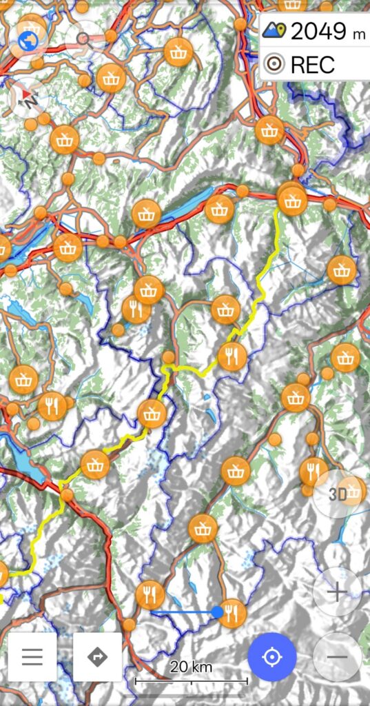
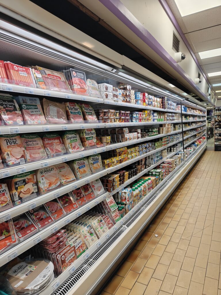
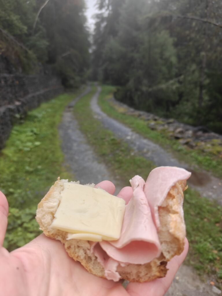
Food resupply is straightforward – grocery shops (villages), supermarkets (towns), restaurants are plenty along the way. I never had to carry more then one day of ration minimising extra weight. You can overlay the same in OSM (Open Street Maps) and keep an eye on the distance / duration till the next supply point. I managed the entire traverse with supermarkets and grocery shops (10 Euro per day) touching 2-3 each day. You can also find many “self service” spots along the way where you pick up snacks or local produce from an unmanned fridge or store and drop money in a box.
Night Stay
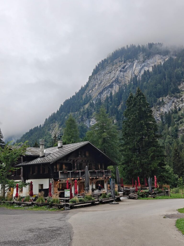
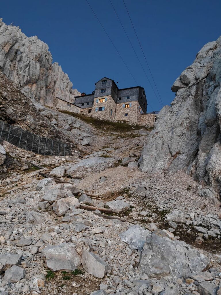
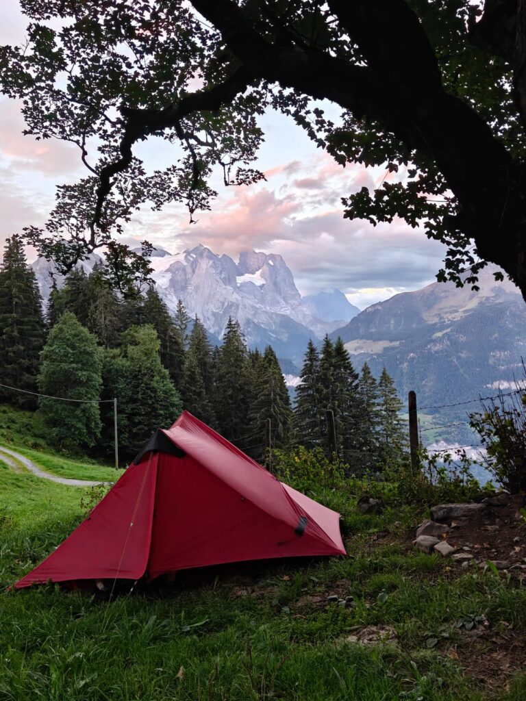
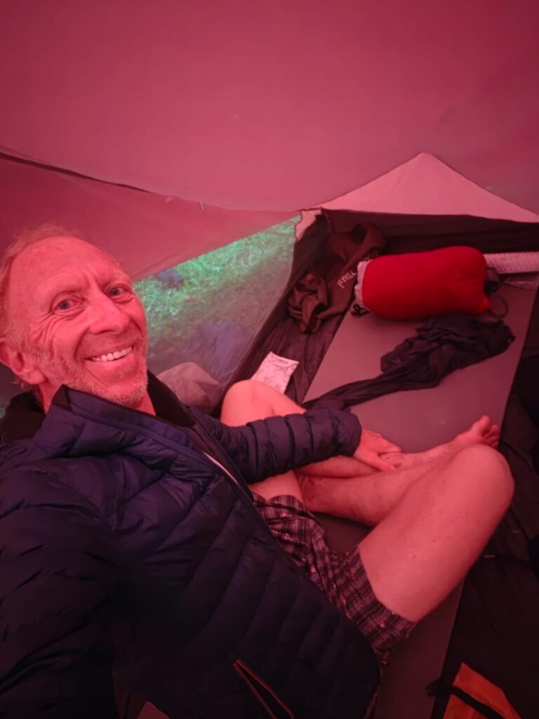
There are various options for night halt: alpine huts (higher up), hotels (towns, villages) and camping (where permitted). Hotels and alpine huts can be expensive especially for long distance hiking so I mostly camped. Overlay the same in OSM to see the distance ahead till your next potential night stop. Or use contours to identify flat terrain suitable for camping.
Hydration
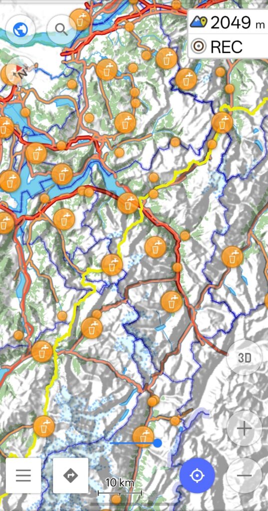
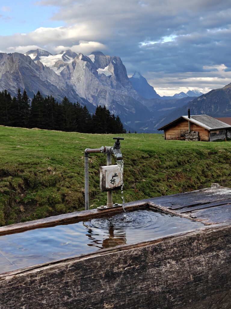
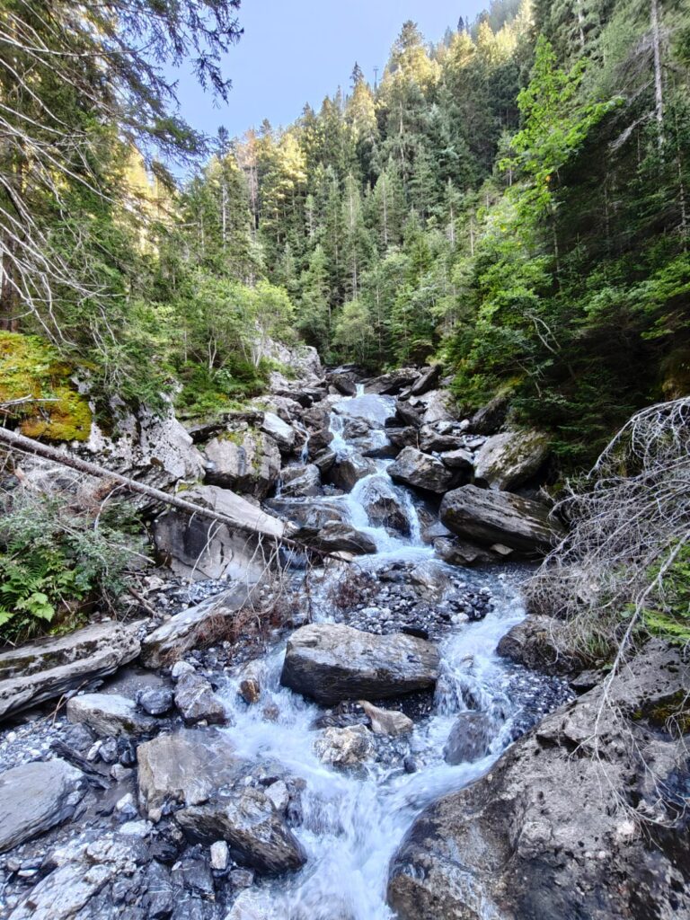
Hydration is plenty along the way: streams, springs and taps. Overlay the relevant types in OSM to plan your next hydration stop. I never faced any long dry sections without drinkable water making it easy to stay hydrated without the extra weight of carrying water in steep terrain.
Gears
I fast hiked (35km/1500m+ a day) with minimalist gears (4kg):
- Aonije 30L backpack (500gr)
- Lanshan solo tent (900gr)
- Icelfame quilt 0C (650gr)
- Quecha 8mm sleeping mat (150gr)
- Altra Mountain King Mt-2 trail shoes (300gr)
- Aonije carbon poles (250gr, reused as tent poles)
- Simon 0C puff jacket (300gr)
- Quecha rain jacket (250gr)
- 1 set of dry fit clothing (Kalenji dry-fit shorts, tee, cap, socks)
- OnePlus 15R phone with OSMAnd (offline maps, navigation)
- Anker fast charger (150gr)
- Lyca SIM (20 Euro for 300Gb)
- Empty water bottle (50gr)
Power
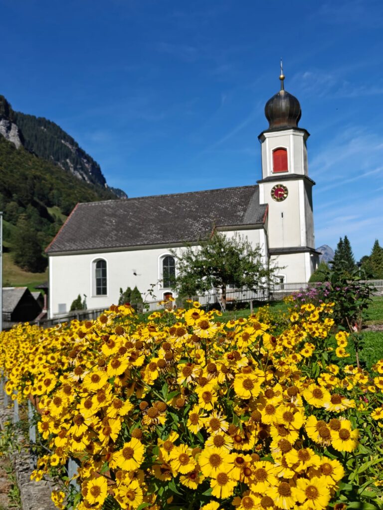
In flight mode my OnePlus 15R phone (7000mAh battery) lasted for 2-3 days in between charges (navigation, photos). Finding a public power socket sometimes was a challenge as I did not stay in hotels, alpine huts or eat in restaurants. I was able to charge my phone in churches (mainly), public toilets, train stations and telepherique-s. Using an Anker lightweight fast charger I could recharge my phone within one hour minimising delay along the way.
Hygiene
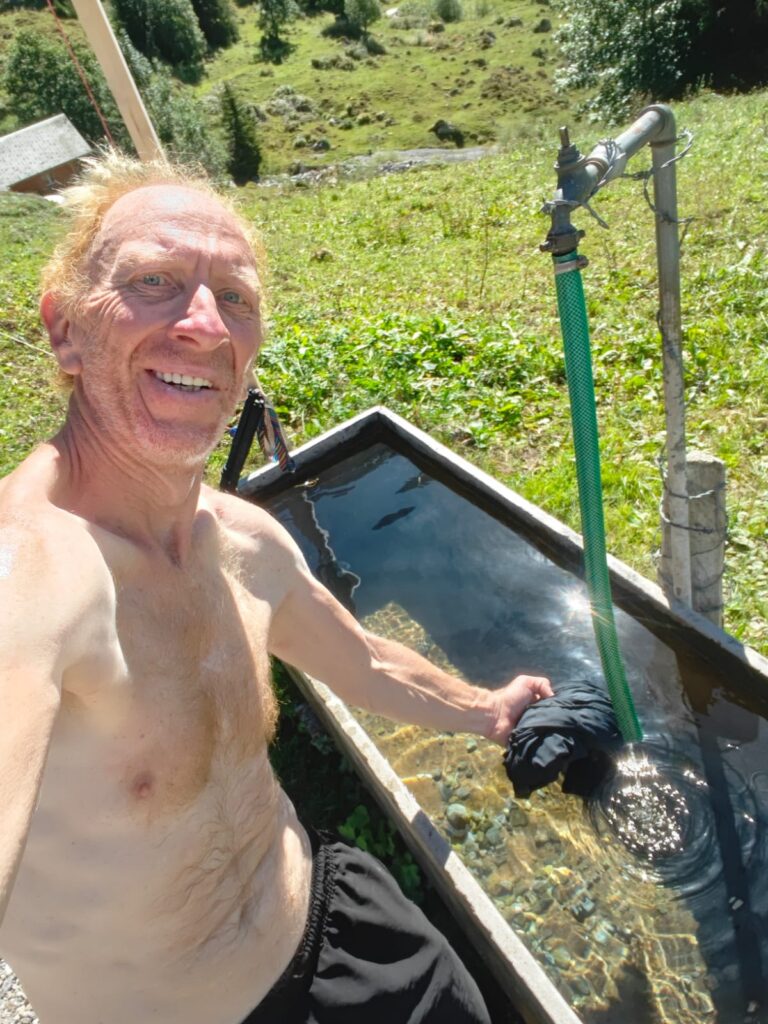
As hotels and alpine huts are expensive I was mostly camping along the way. As I could not make use of showers and there were no laundromats and I was carrying only 2 sets of dry-fit clothes, I was washing my clothes every 2 days in streams and public springs along the way. Mountain water was cold but I was able to freshen up during mid day when the sun was intense.
Navigation
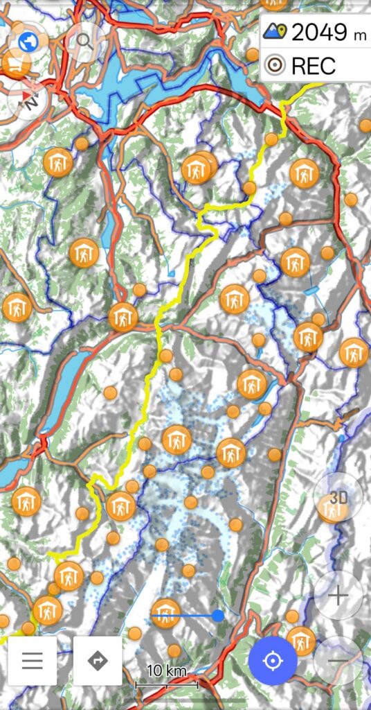
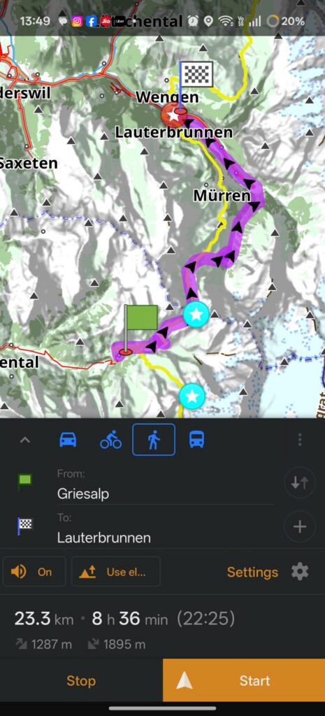
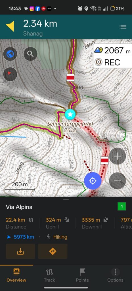
Navigation was done offline using the OSMAnd app running on my OnePlus 15R phone (flight mode). I downloaded Open Street base maps for the respective countries / provinces of my 700km traverse as well as terrain (hill shades) and contours for assessing the terrain, steepness. I marked the Via Alpina route by downloading the various stages and marked mountain passes or cols (blue) and food supply points (red) along the way for easy planning.
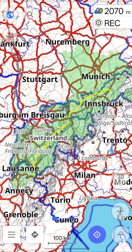
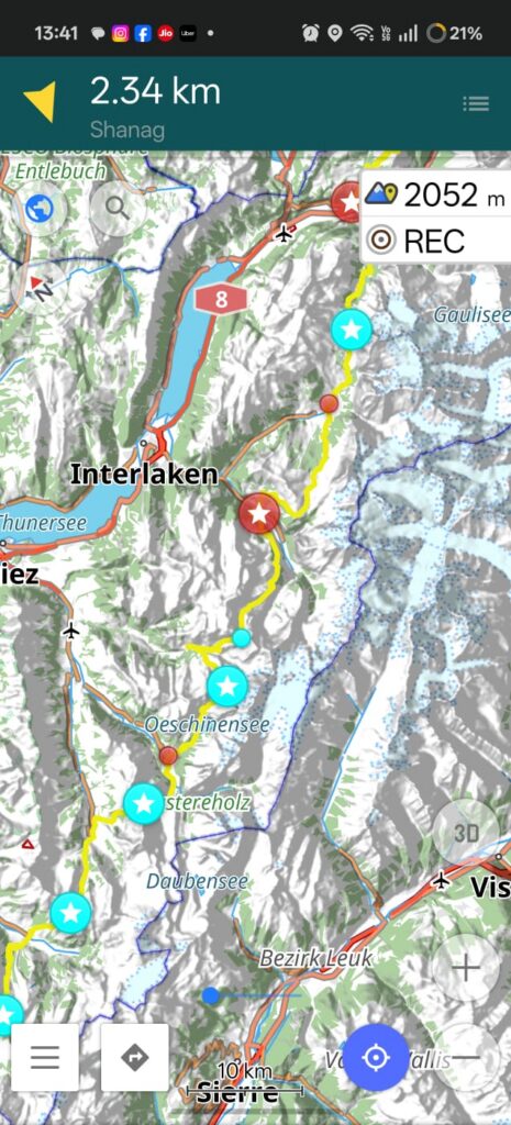
Via Alpina goes across 30 cols or mountain passes from Chamonix to Munich. I marked these on the map as these are high altitude crossings between subsequent valleys require significant effort (elevation gain) to hike across.
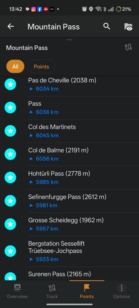
Equally important are the food stops (supermarkets and grocery shops) in the towns in the valleys in between the passes. Carry sufficient food ration till your next supply point. Water / hydration does not require specific pre planning as one can find streams, springs and taps along the way.
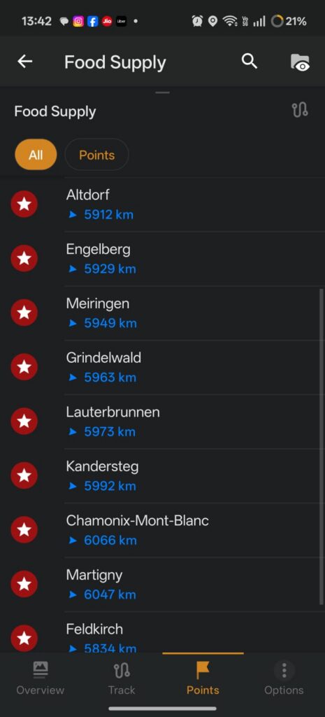
OSMAnd allows you to calculate the distance / elevation gain to your next pass or food supply point to estimate the duration to these important milestones.
Communication
While cycling / hiking across many countries in Europe I usually prefer a Lyca prepaid SIM. I bought a 300GB / 20 Euro SIM in Paris which gave me 30GB roaming in EU (outside France), sufficient for a 17 day traverse across 4 countries. I used my phone mostly in flight mode to save battery. Only while communicating with my friends or paying wirelessly (see below) I was switching on the phone.
Payments
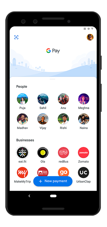
The alps stretch across 8 countries where you can pay mostly in Euros except for Switzerland where they expect Swiss Francs (CHF). I did not carry any cash along the way. I added my debit card and used Google Pay to pay wireless in all supermarkets and grocery shops along the way.
Travel
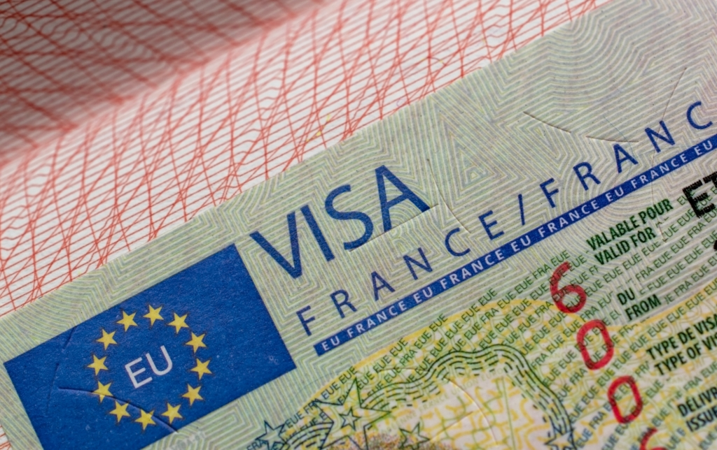
All countries part of the Via Alpina are part of the Schengen EU zone so you can apply for a single Schengen VISA to complete your traverse. There are no land border check posts along the way as the alps lie fully within Europe.
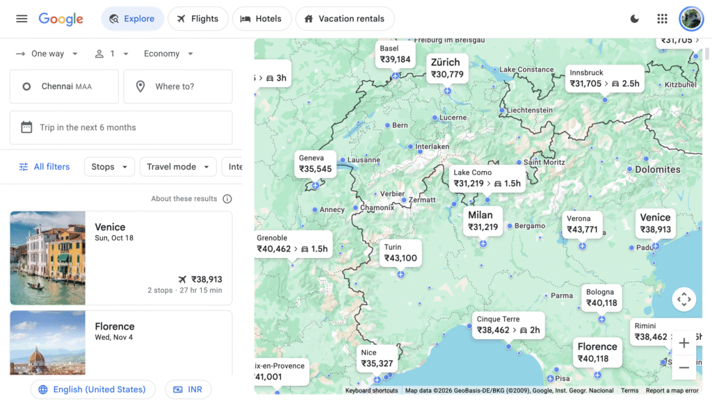
Planning your travel to the alps can be done via Google Explore to find cheap flights to nearby international airports.
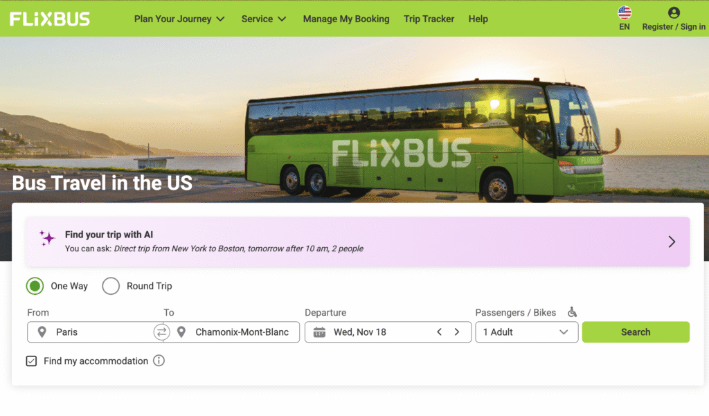
Local travel within Europe can be done via an extensive flixbus network to reach your starting point and leave the end point. I took a flixbus from Paris to Chamonix to start my 17 day hike and exited via flixbus from Munich to Brussels to catch my return flight.
Via Alpina / Countries / Main Towns