My name is Camille Augey, 35, from France. I started planning this Himalayan traverse right after completing a 760-kilometre crossing of the French Alps in the summer of 2025.
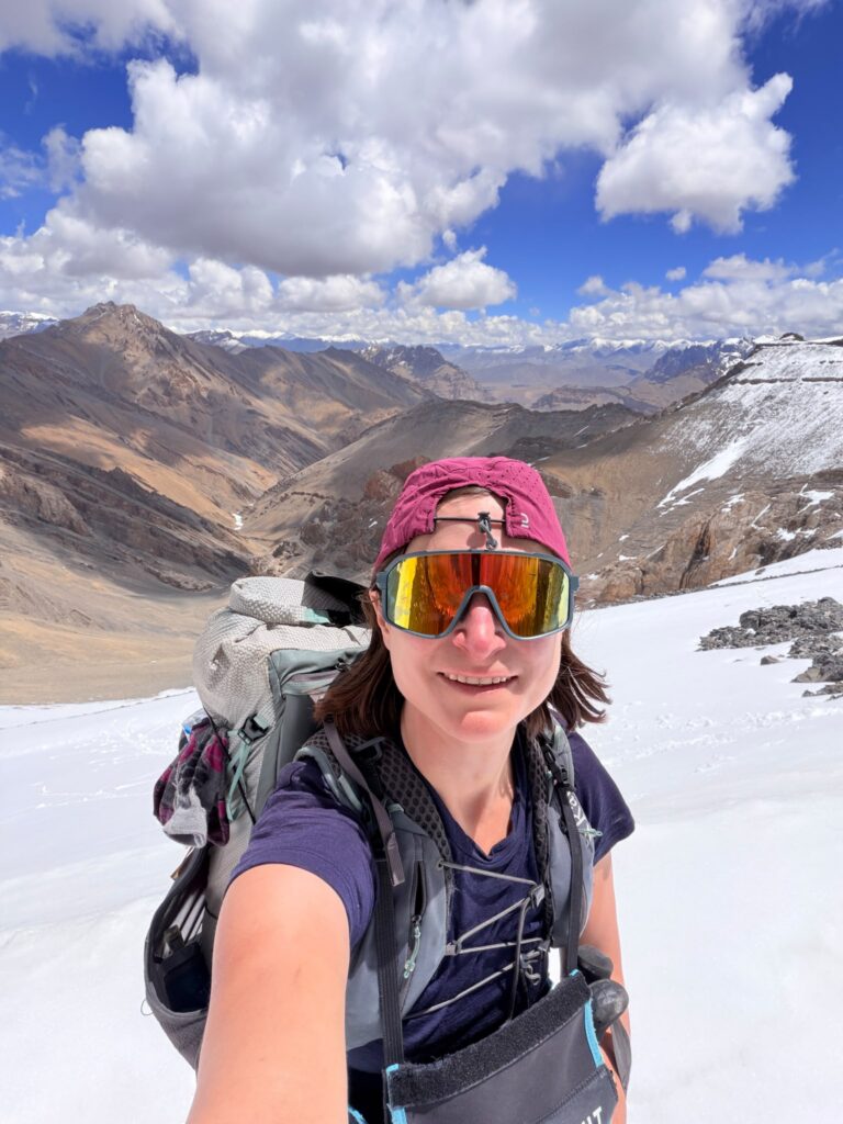
The French Alps have marked trails, huts, and plenty of fellow hikers. This time I wanted to take on a different kind of adventure. One of the important criteria was to undertake this journey solo and without a guide. This, as well as the seasonal conditions, guided my choice towards the Indian Himalayas, more specifically the states of Himachal Pradesh and Ladakh.
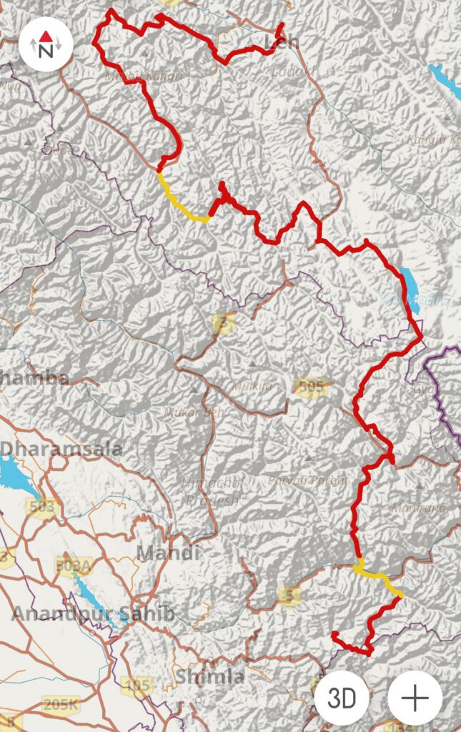
I put the route together by linking up some fairly well-known trails and passes, such as Rupin Pass and Pin Bhaba Pass, but also by studying OpenStreetMap in depth, consulting Peter’s website, and contacting a few French people familiar with the area to confirm that the routes were passable. Total distance 830km – 37000m+ over 29 passes:
Saru Tal > Rupin Pass > Pin Bhaba > Parang La > Karzok > Yalung Nyau La > Gyama La > Pang > Pogmar La > Marang La > Tsarap Valley > Gotunta La > Shadey > Phuktal > Padum > Karsha > Pidmo > Purfi La > Hanuma La > Barma La > Dipling > Pigdong La > Kanji La > Kanji > Yogma La > Snyutse La > Hanupatta > Hinju > Chilling > Shingo >Rumbak > Stok > Leh
I started from the village of Chirgaon, near the border with Uttarakhand, which I briefly crossed on the second and third days, then made my way through Himachal Pradesh via Kinnaur and Spiti, before reaching Ladakh after crossing Parang La Pass.
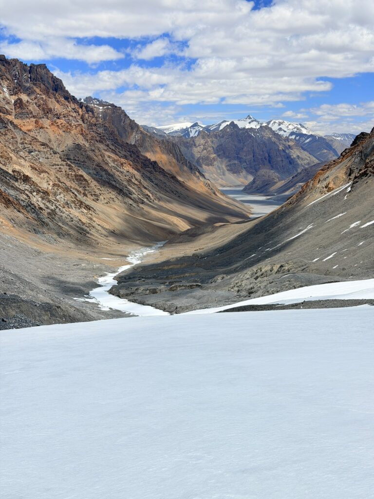
From there, my goal was to reach Leh, not by the fastest route, but by the one that seemed the most scenic to me. I had particularly been drawn to the remote and wild Tsarap River valley and the Zanskar range.
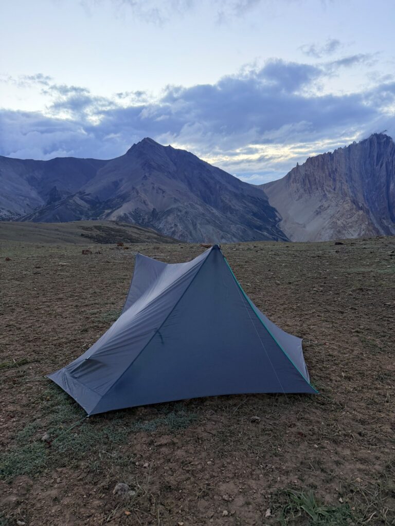
I opted for an ultralight approach and used the same basic setup as for my crossing of the Alps: trail-running shoes, a 40-litre pack, and a lightweight tent. The complete gear list is available here: https://bit.ly/3Wocyae
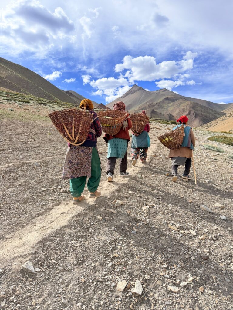
I set off on June 2nd, 2026, before the monsoon season began in Himachal Pradesh. The timing was fairly ideal in terms of weather, although climate change made conditions cloudier and rainier than expected. This did not have any significant consequences, however.
On the other hand, I paid for this choice with more snow remaining on the passes, particularly the first ones: Pin Bhaba and Parang La, as well as the highest ones: Marang La, Gyama La…
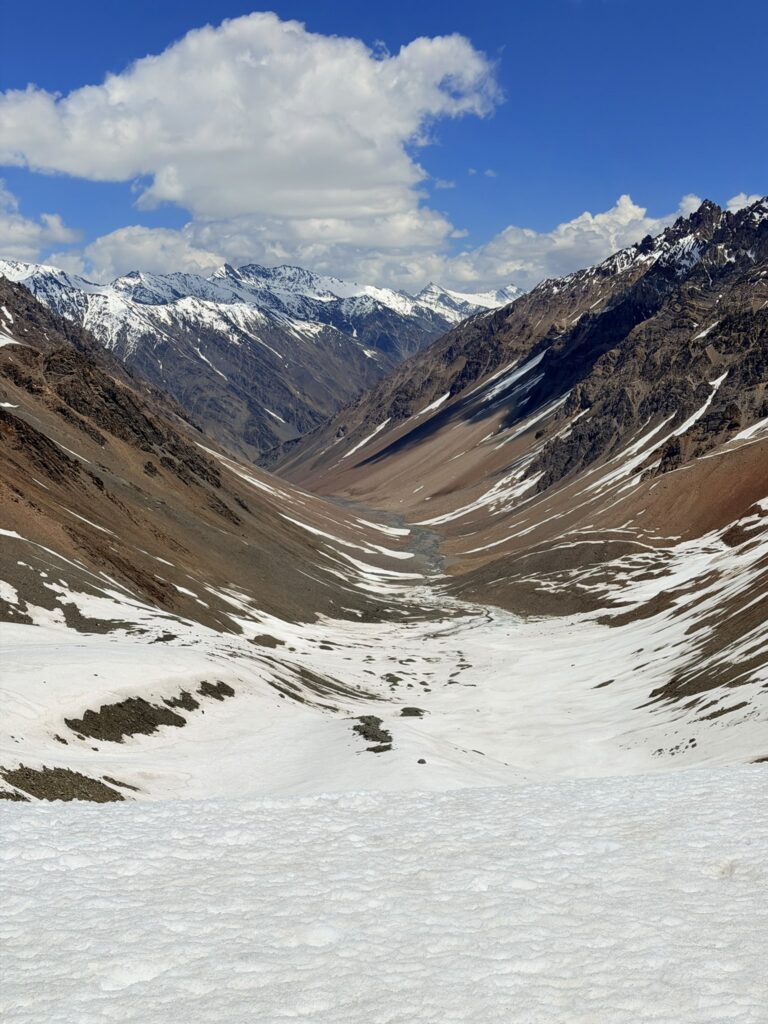
Beyond the snow itself, what unsettled me most was the uncertainty surrounding whether the passes would actually be passable. Aside from Rupin Pass, the commercial hiking season had not started yet, and the local residents and guides did not know whether I would be able to cross them at the time I had planned.
Nevertheless, everything went smoothly, without any major problems. In the end, the hardest pass came much later: Kanji La. The pass was still heavily covered in snow and ice when I crossed it in early July, and the slope immediately beyond it was extremely steep. I almost turned back. In this section, I also had difficult river crossings, with water up to my hips.
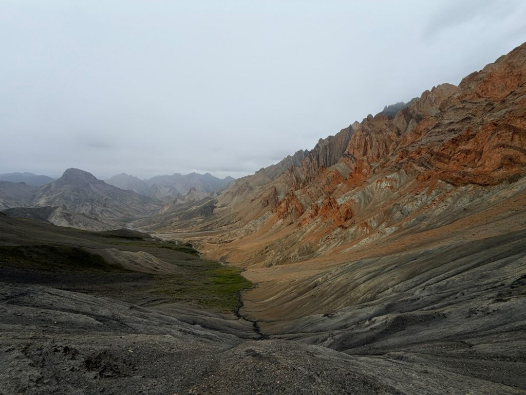
I also had to adapt my itinerary several times to avoid rivers where the water levels were still too high.
Other challenges included dealing with altitude, solitude (with sections of up to five days without seeing another human being), and food resupply in Reckong Peo, Kaza, Karzok, Pang, and Padum: even when there are several shops, they rarely have the right kind of food — unless Maggi noodles and biscuits are all you need.
As for accommodation, I spent half the nights wild camping and the other half in homestays in villages, adapting my stages to reach an inhabited place whenever possible.
Navigation was fairly easy: OpenStreetMap is accurate most of the time, and I had my itinerary on my watch the whole time.
Over 48 days and 830 km, I was very fortunate to encounter no health, logistical, or planning issues. This was certainly the greatest adventure of my life, more challenging than I had anticipated, but still more accessible than one might initially think. Rigorous preparation, good physical condition, and a little bit of experience are what it takes to complete this journey. The kindness of the locals and the beauty of the mountains make it all worthwhile.