
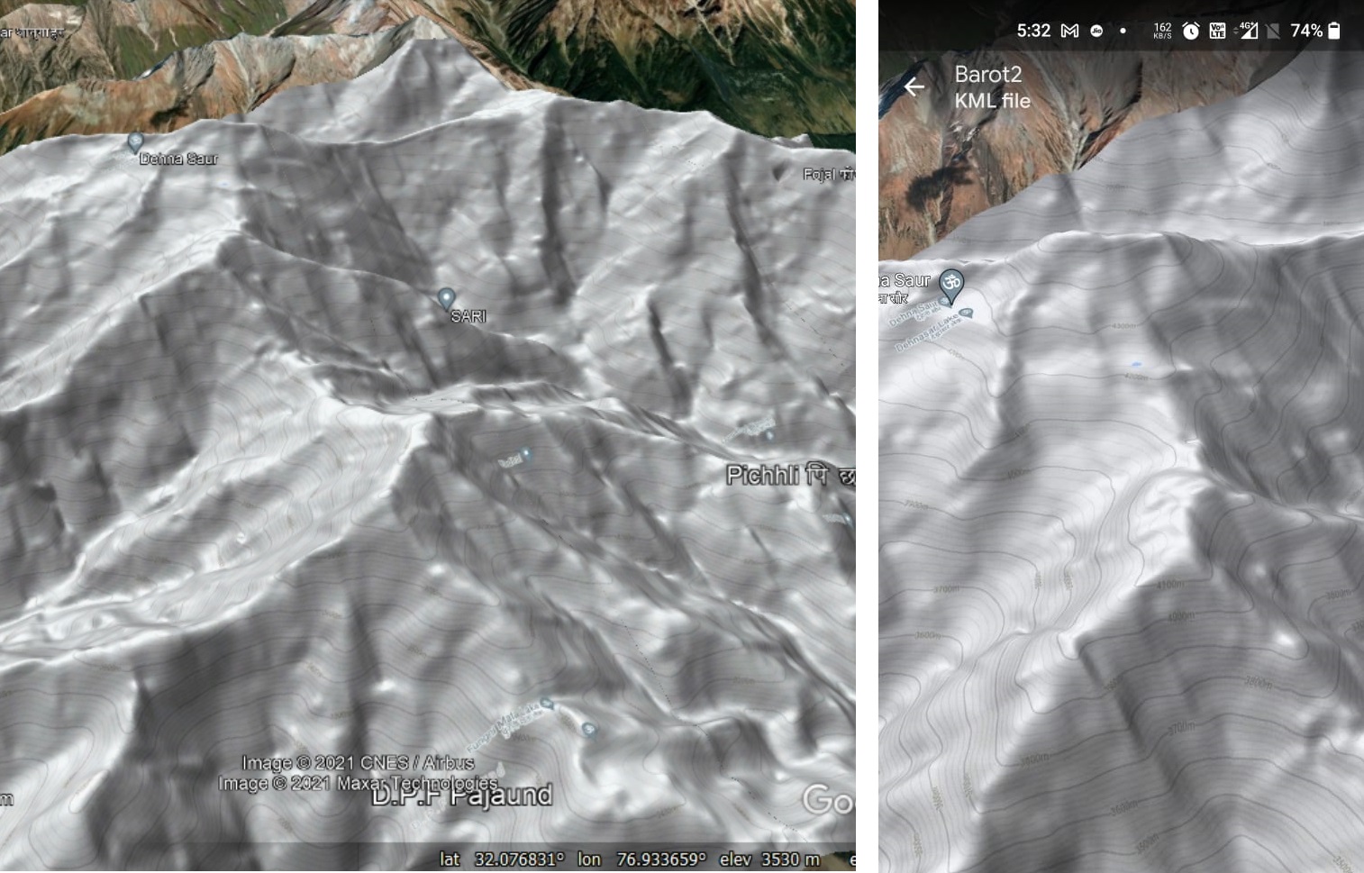
In this post we explore mesmerizing views on the Himalayas along any given hiking route. During my 4 months Trans…

In this post we explore mesmerizing views on the Himalayas along any given hiking route. During my 4 months Trans…
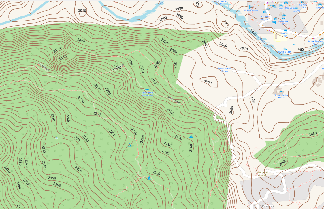
Topography is represented on topographic maps through contour lines. Most contours are generated from 30 meter (1 arc sec) DEM…
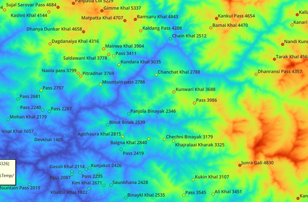
In this module we will be download satellite generated Digital Elevation Model (DEM) data, extract elevation data for Himalayan features,…

A Digital Elevation Model (DEM) is a representation of the bare ground (bare earth) topographic surface of the Earth excluding trees, buildings,…
In Chapter 1 we learned about the Geography of the Western Himalayas, Topography (Contours) and various detailed maps like Open…
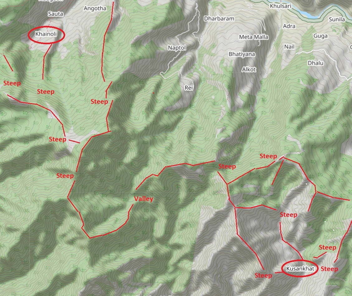
When you don’t have a map with trails or GPS log there’s another way to make your way across the…
In this second module let’s get familiar with one of the most important concepts: topography. Topographic maps use contour lines…
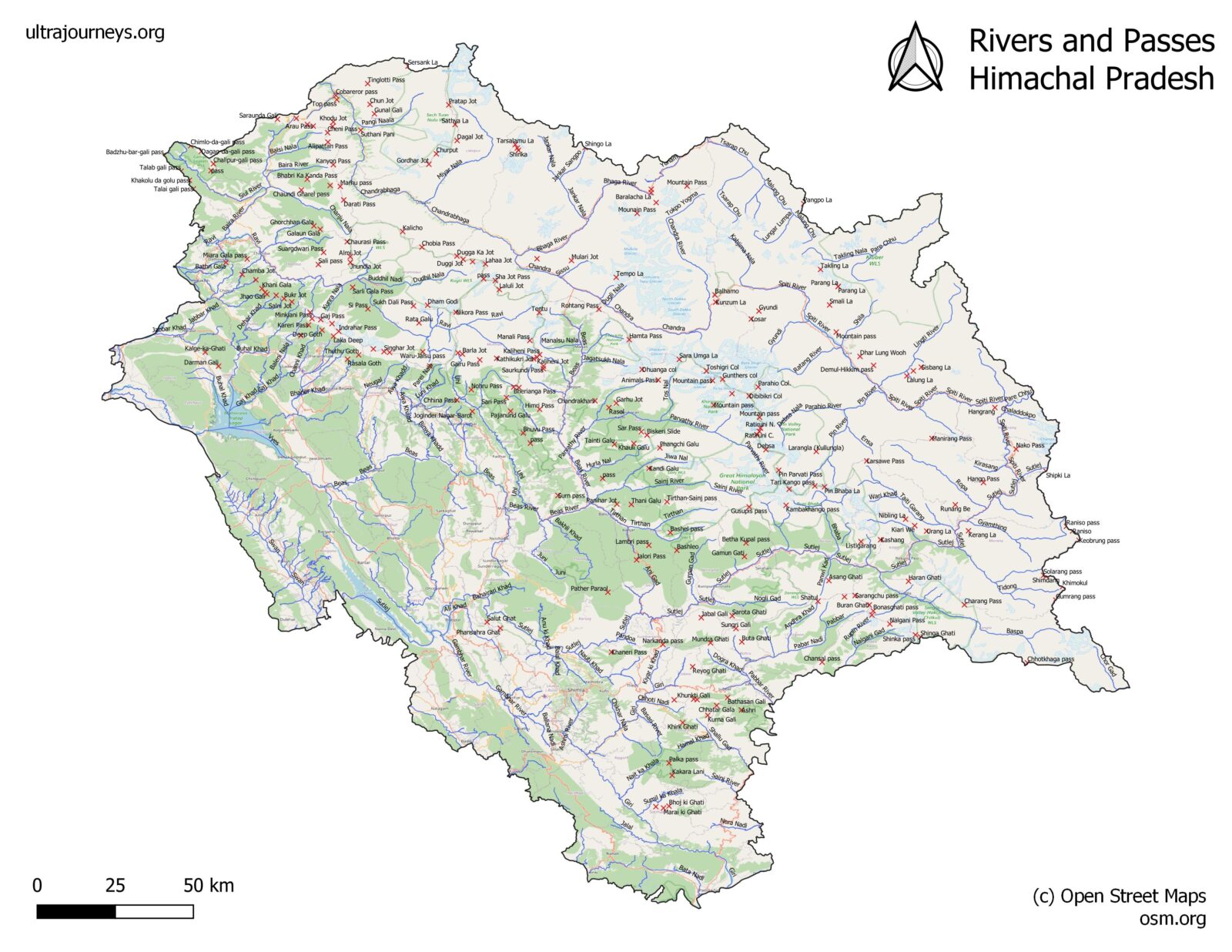
In this first module we will familiarize ourselves with the geography of the Indian Western Himalayas spanning the states of…
In this module we ll learn about Digital Elevation Models (DEM) of the planet, how to download and generate contours…
Loading…