Last couple of weeks I’ve been poring over Topographic maps, Satellite Imagery and Open Street Maps identifying thousands of kms…

Last couple of weeks I’ve been poring over Topographic maps, Satellite Imagery and Open Street Maps identifying thousands of kms…
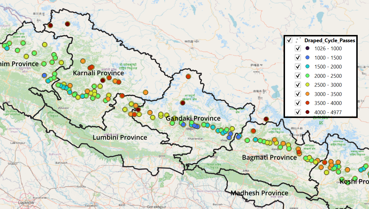
This page links to various posts related to mapping the Nepalese Himalayas allowing independent hikers to plan and navigate this…
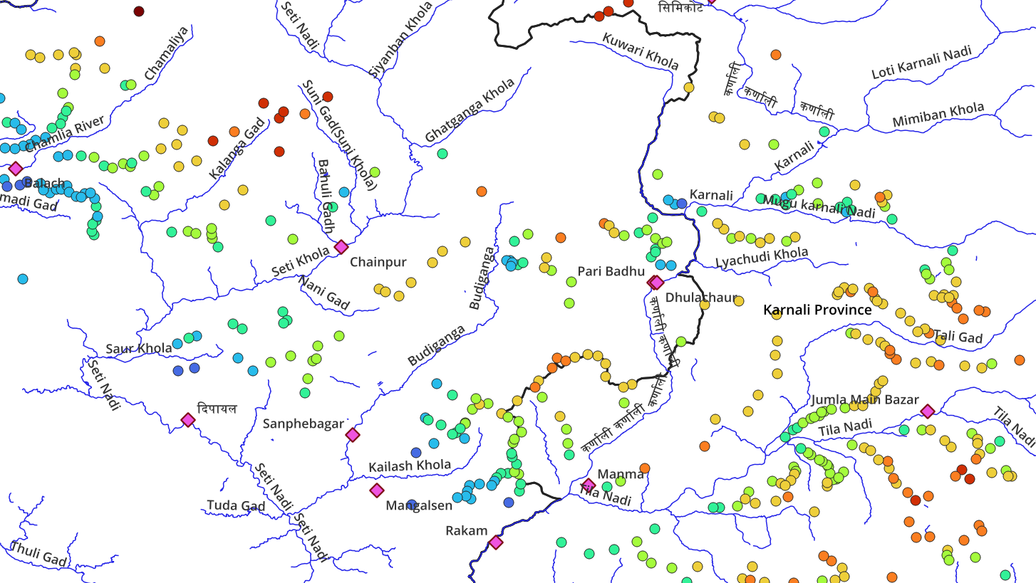
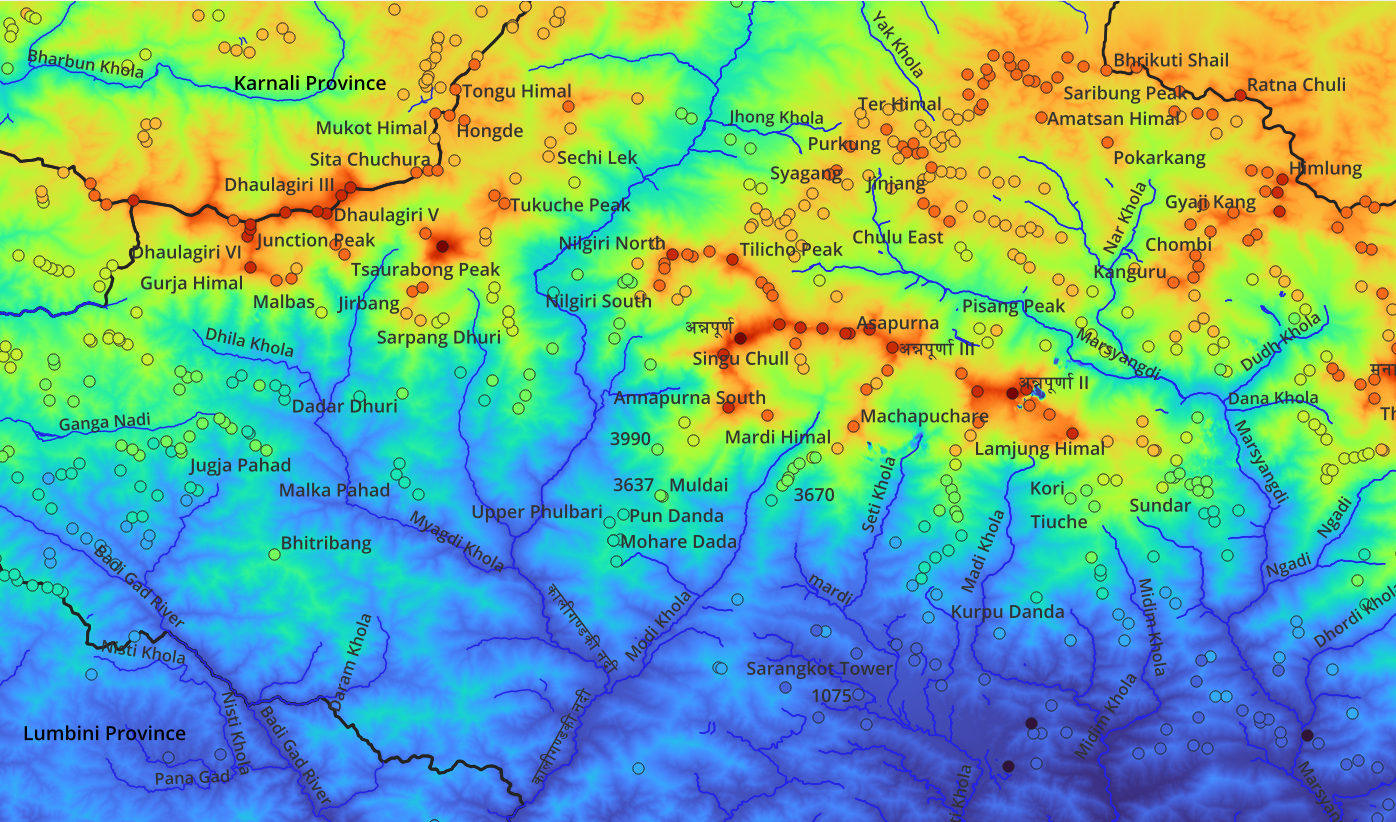
To plan trans Himalayan traverses hikers require a good understanding of the topography (geography) of the region: major valleys (rivers)…
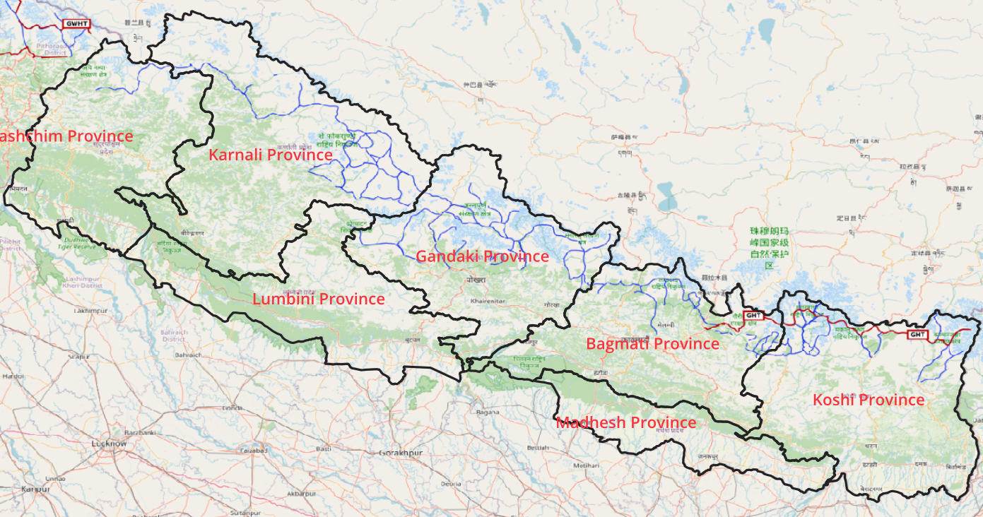
The Great Himalayan Trail runs East to West in Nepal extending further into India as the Great Western Himalayan Trail…
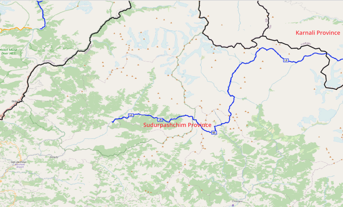
Summary 1 Section across 8 valleys and 7 passes 1:50K Topo sheets Lumthi to Simikot (LS)
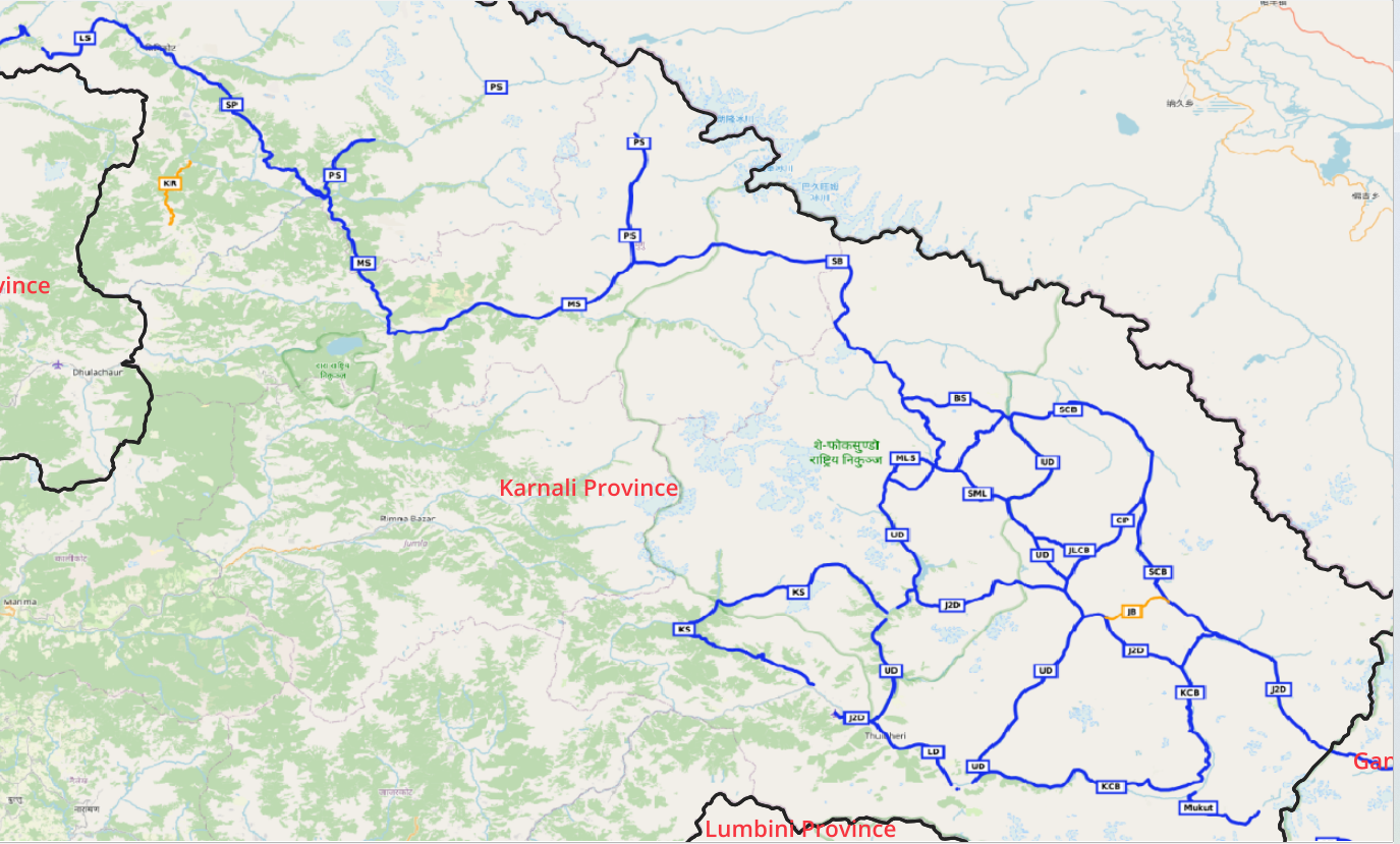
Summary 7 Sections across 13 valleys and 12 passes 1:50K Topo sheets Saldang to Chharka Bhot (SCB) Bhijer to Saidang…
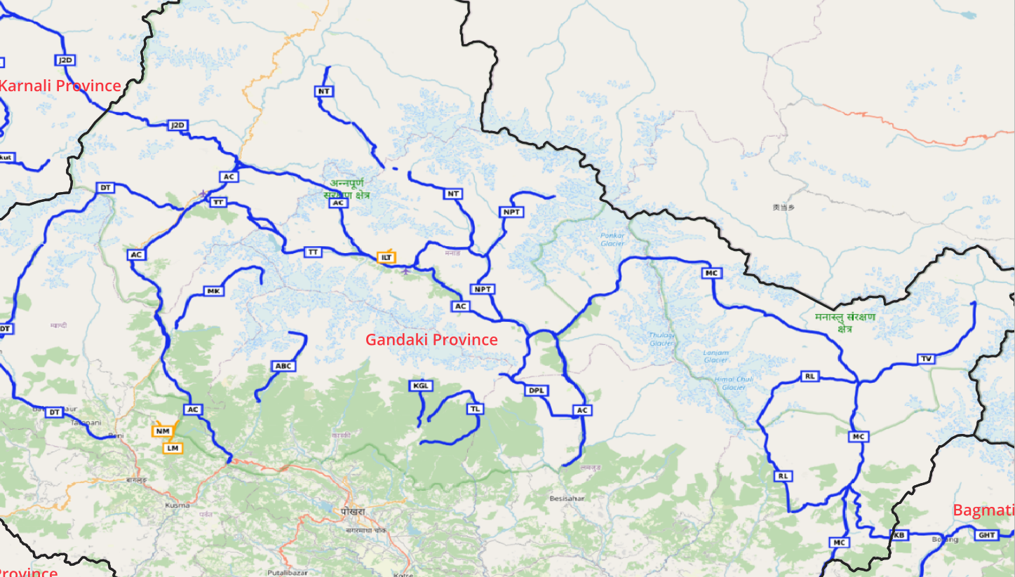
Summary 3 Sections across 6 valleys and 6 passes 1:50K Topo sheets Manaslu Circuit (MC) Annapurna Circuit (AC) Jomsom to…
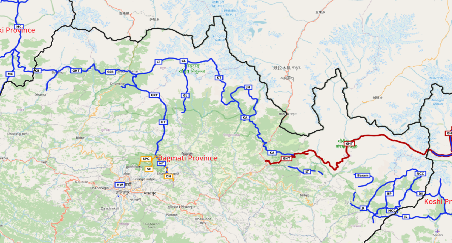
Summary 8 Sections across 11 valleys and 8 passes 1:50K Topo sheets Great Himalaya Trail (GHT) Kyansing to Alamput (KA)…
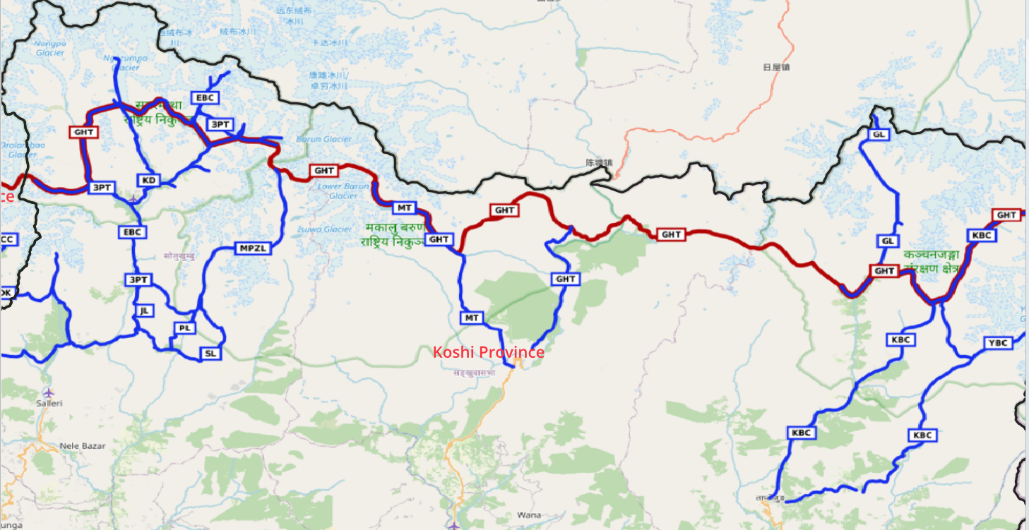
Summary 6 Sections across 12 rivers and 19 passes 1:50K Top sheets Kanchendjunga Base Camp (KBC) Ghang La (GL) Great…
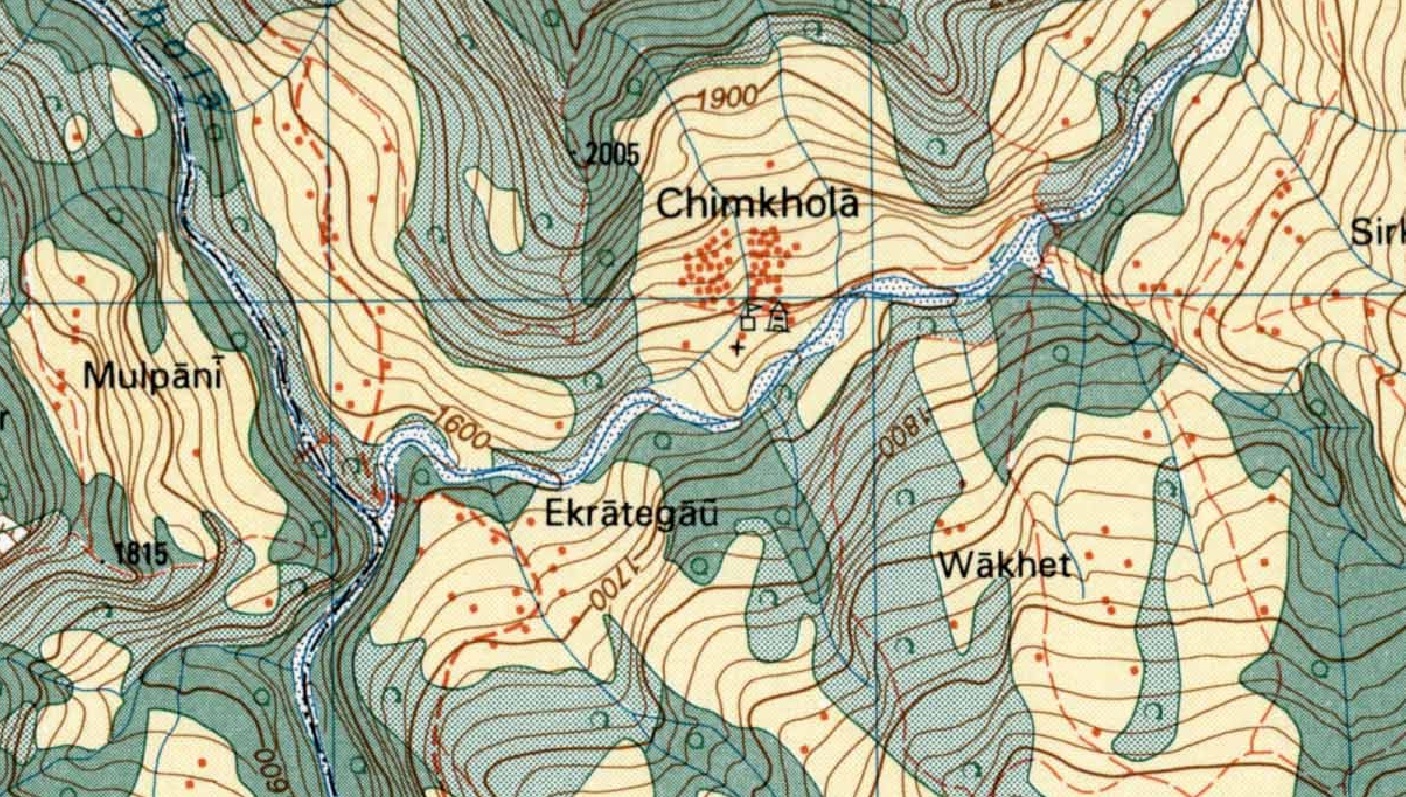
While assisting Jeremy Bige on planning a route through Nepal I stumbled upon detailed 1:50K/1:25K topo map sheets for Nepal over…