Dharamshala, located at the base of the Dhauladhar is a popular tourist and hiking destination in Kangra district of Himachal.…

Dharamshala, located at the base of the Dhauladhar is a popular tourist and hiking destination in Kangra district of Himachal.…
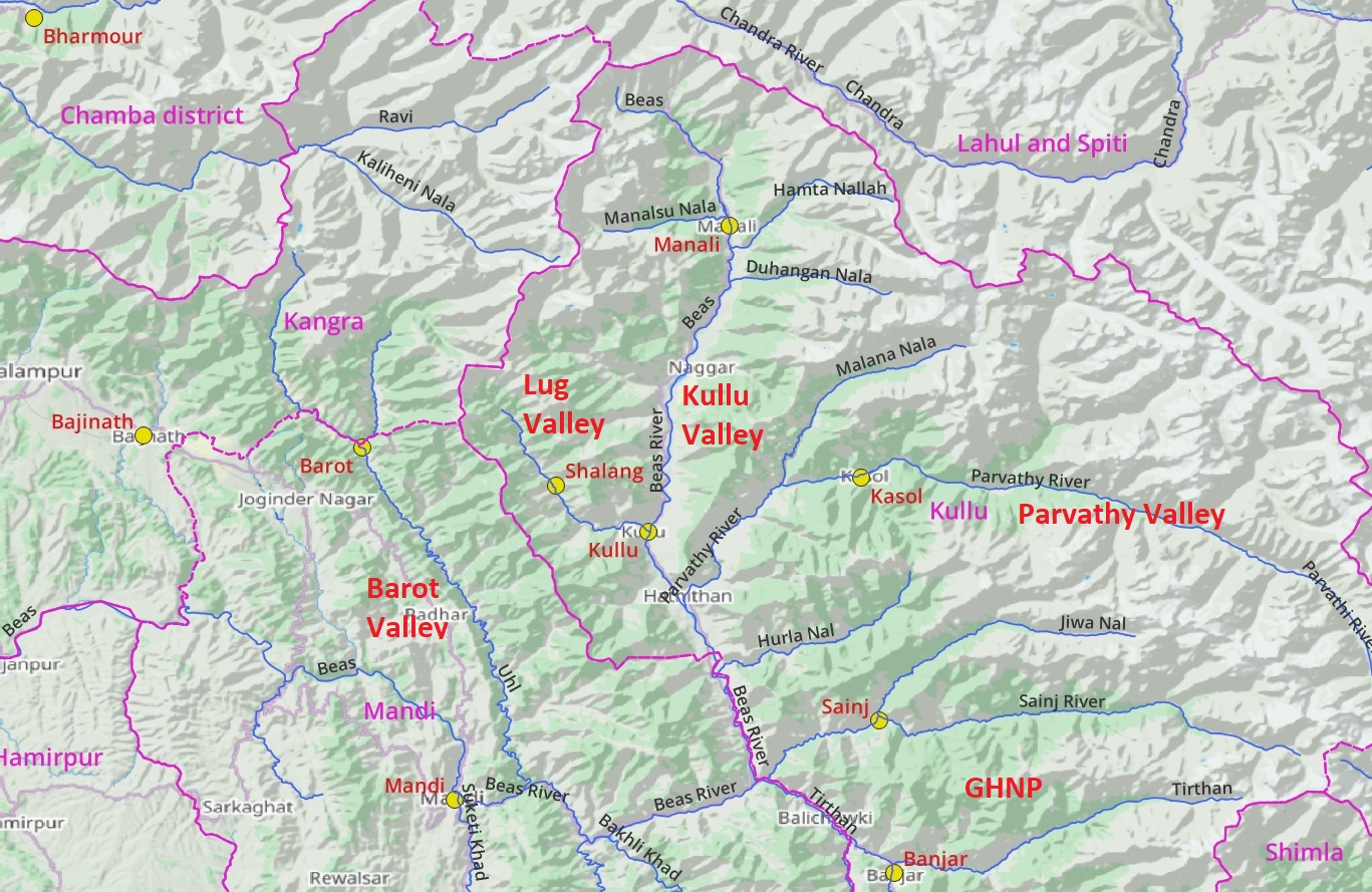
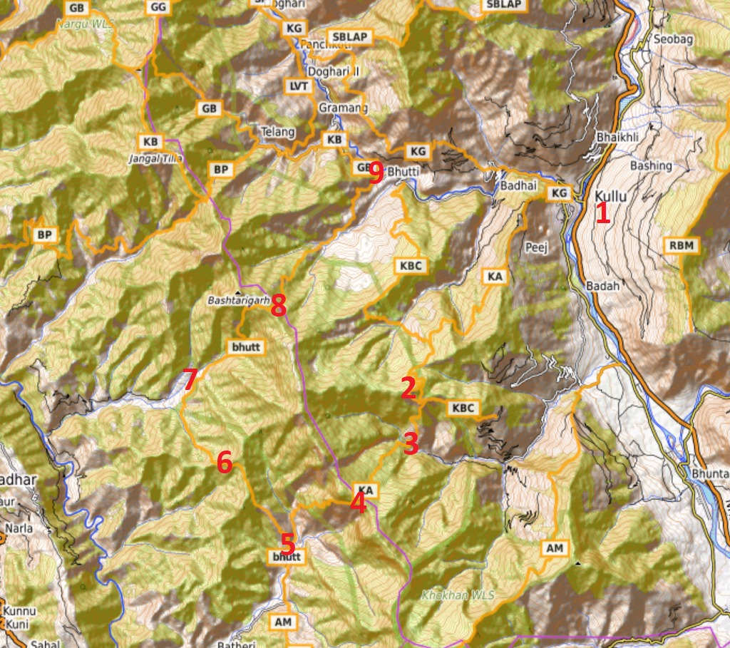
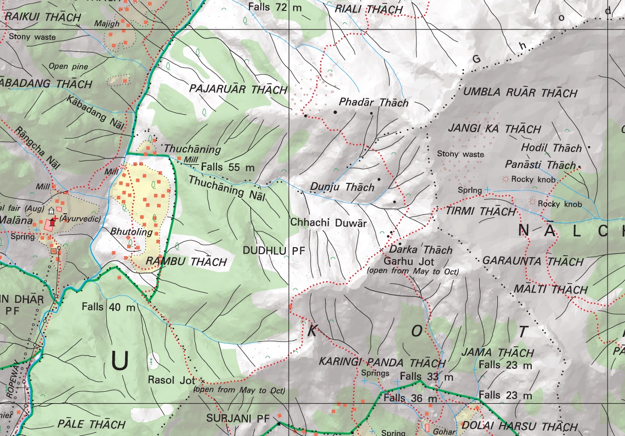
In this post I present an overview of the extensive mapping efforts done in the larger Kullu region and pending…
Manali is a well known destination for the outdoor community offering many beautiful hiking routes through pine forests and meadows…
Recently a friend of mine asked me to suggest a nice 3 day / 2 night Himalayan traverse for him…
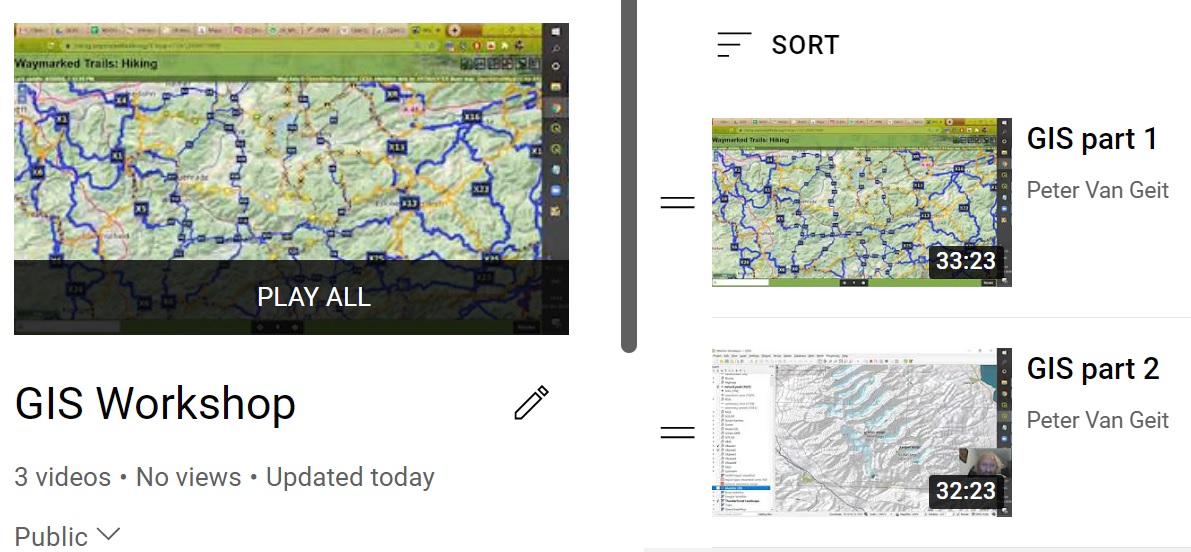
Open Street MapsData modelViewers, OpenTopo, Thunderforest, EditorsHiking – waymarked trails, brouter.deMobile apps, OSMAndHiking RoutesGeo-coding waypoints, trails, GPXElevation profileBlogs, Wikiloc, Ramblr,…
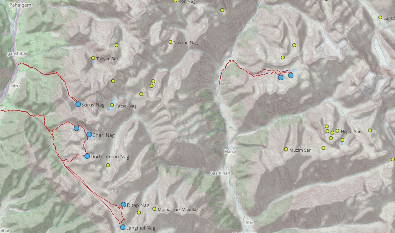
This page consolidates explorations by @zeeshanmushtaqq of alpine lakes in Kashmir. More details on the blog alpinewanderer Overview map of…

While planning a traverse through the Himalayas we need to take into account the seasons. During winter the snowline descends…
Link to The Himalayan Journal Volume 77
Stories over here Memories View this post on Instagram A post shared by Peter Van Geit (@petervangeit) View this post…
Introduction No doubt the most detailed topographic maps of the Western Indian Himalayas are published by the Survey of India.…