
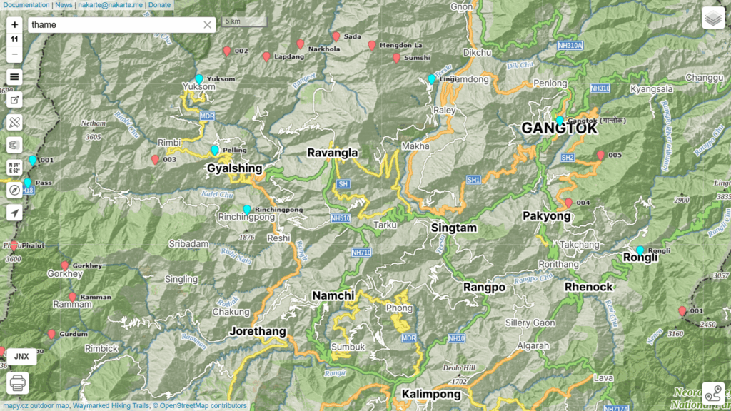
Tucked between Bhutan in the East (Tendu) with Nepal in the West (Sandakpu) we find the Himalayan state of Sikkim. To plan an East-West traverse across this region we partly use 1:50K Survey maps and partly Open Street Maps. Survey maps are not available for the immediate border regions and therefore we have limited coverage in the smaller state of Sikkim. The resulting 150km traverse takes us across 8 minor valleys and in-between passes.
- Traverse
- Geography
- Food Drops
Traverse
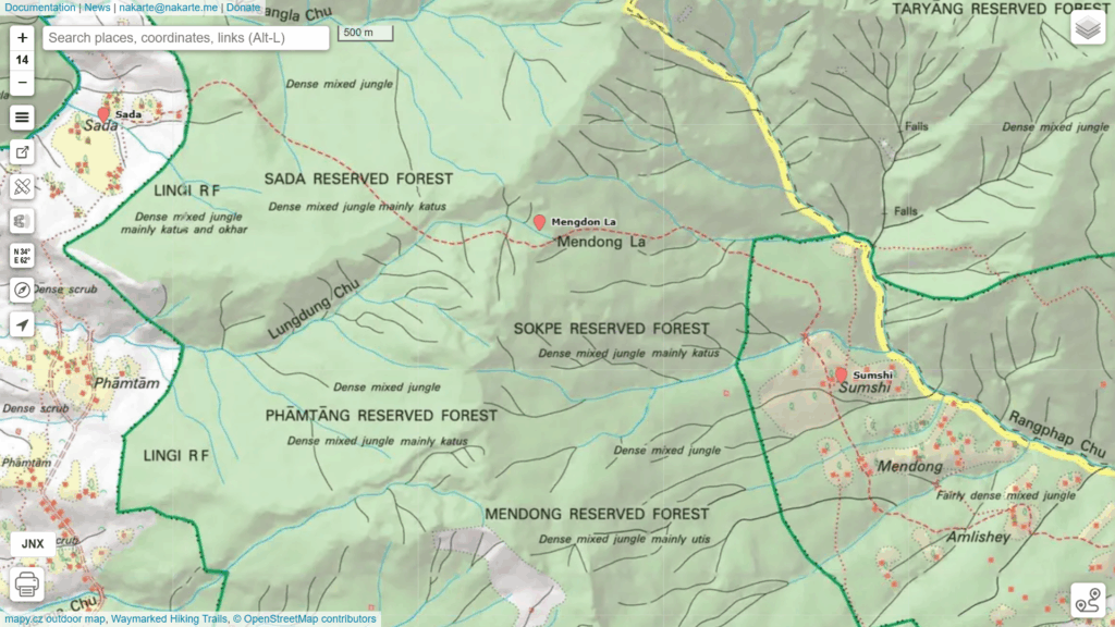
Load below GPX files in nakarte.me to view the planned traverse:
- Sikkim towns (roads)
- Sikkim villages
Add the Survey 1:50K maps as a new Custom layer in nakarte.me:
Geography
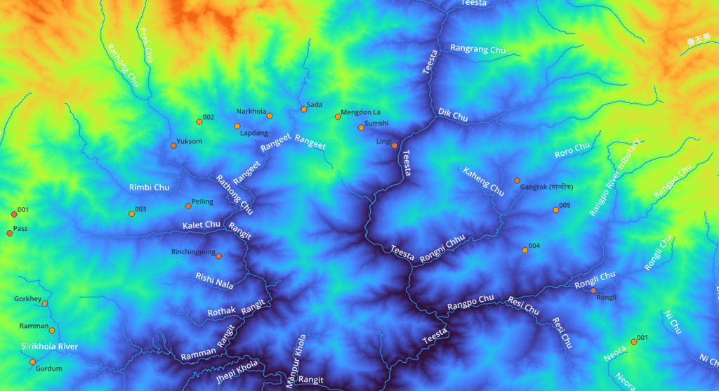
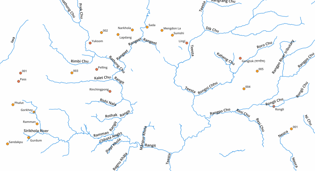
Sikkim is basically one major valley formed by the Teesta and Rangit rivers draining the surrounding high ranges bordering Nepal (West), Tibet (North) and Bhutan (East). The traverse hops across 8 smaller valleys via in-between passes:
- Rangpo Chu
- Rongni Chu
- Teesta
- Rangeet
- Rathong Chu
- Kalet Chu
- Sirikhola river
Food Drops
This approximate 150km traverse can be supplied through two main food drop points:
- Gangtok 27.32905 88.61227
- Pelling 27.30017 88.23549