
This page links to various posts related to mapping the Nepalese Himalayas allowing independent hikers to plan and navigate this region.
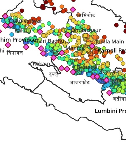
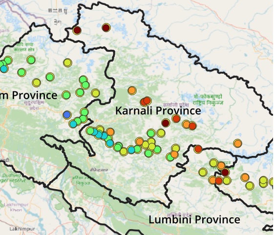
Mapping Nepal. To plan trans Himalayan traverses hikers require a good understanding of the topography of the region: major valleys and in-between ridgelines which can be crossed through mountain passes. In recent months hundreds of rivers and 2100 mountain passes were mapped in the mid and high ranges of Nepal enabling hikers to plan countless traverses across this topography
The Great Himalayan Trail runs East to West in Nepal extending further into India as the Great Western Himalayan Trail through Uttarakhand, Himachal, Ladakh and Kashmir. Recently the GHT was fully mapped in Open Street Maps.
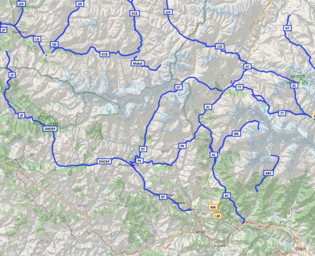
Cycle Touring in Nepal. Last couple of weeks I’ve been poring over Topographic maps, Satellite Imagery and Open Street Maps identifying thousands of kms of beautiful interior long distance cycle routes across 140 mountain passes and 40 major valleys in the foothills of Nepal Himalayas.
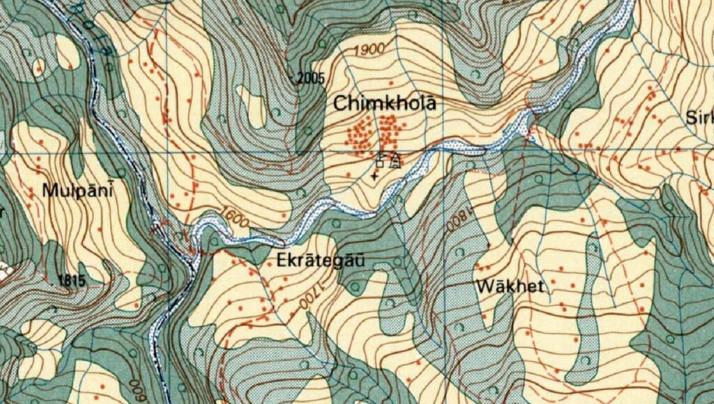
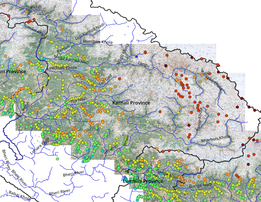
Nepal topo-sheets. While assisting Jeremy Bige on planning a route through Nepal I stumbled upon detailed 1:50K/1:25K topo map sheets for Nepal. For planning and navigation purposes it is required to download, geo-reference, stich the sheets together and export the overall map in an offline tile format which can be used by GIS and navigation apps.
Visualizing Geography & Traverse Planning. This article presents an overview on how to map and visualize the geography of a mountain region in order to plan long distance traverses across that region. Nepal is used as an example. Geography is mapped using OSM and visualized using QGIS.