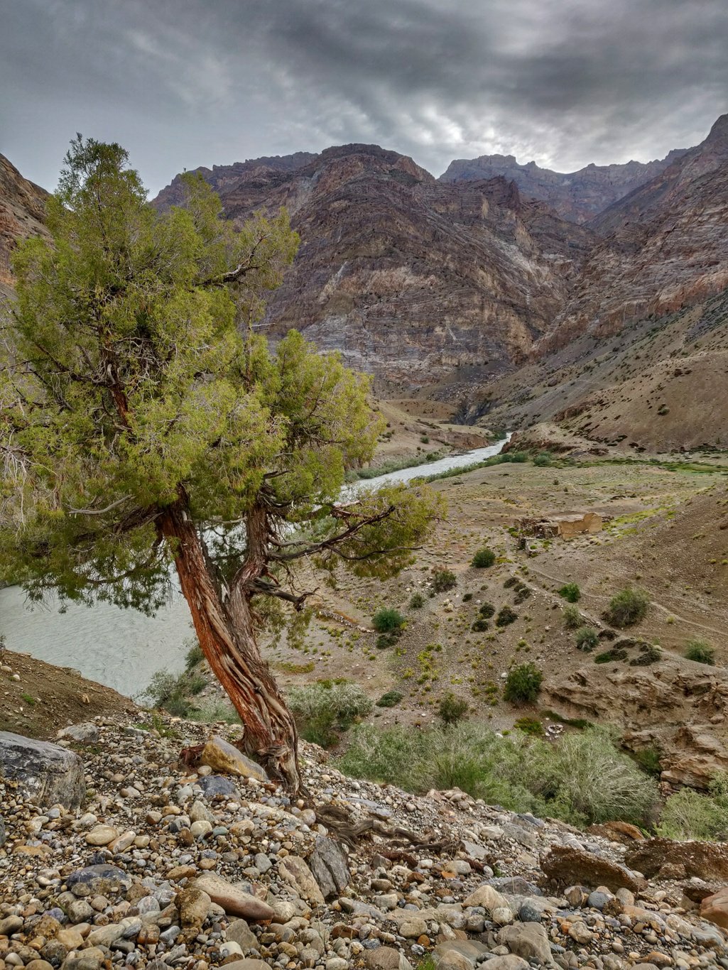
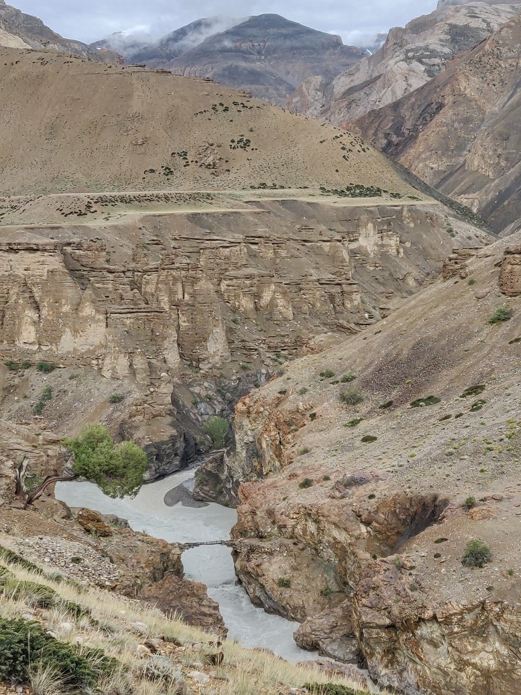
I spent the night in a shelter at Mune Le, an uninhabited hamlet in ruins along the Tsarap river. It was raining and the water was leaking through the damaged roof during the night. Still the shelter protected me from the cold wind outside.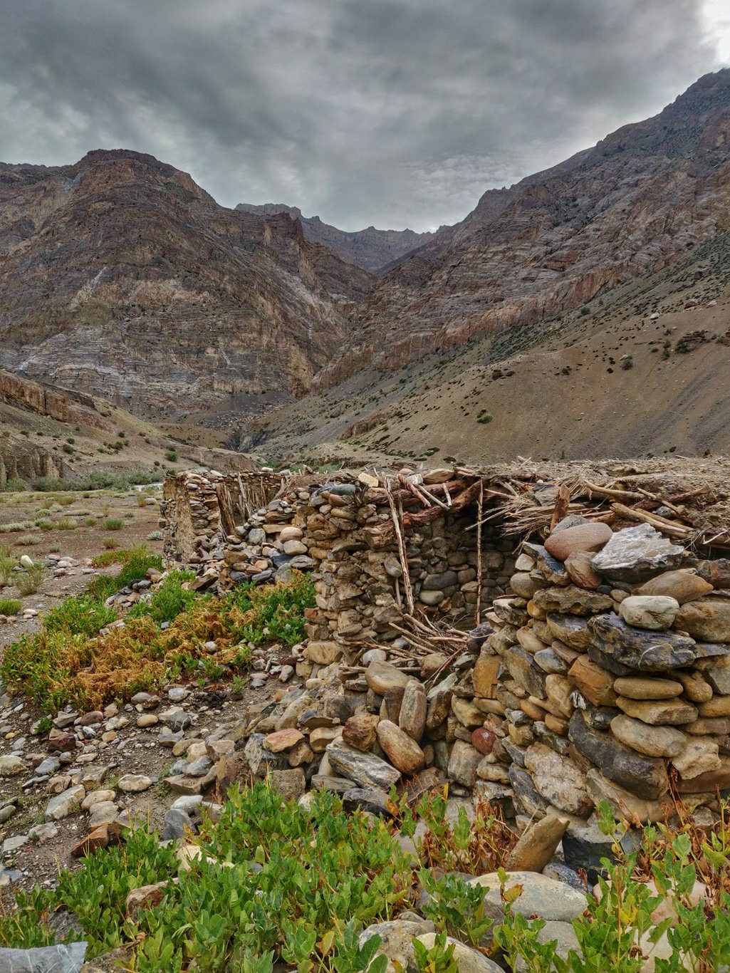 The trail continues on the right side (upstream) above the Tsarap river which cuts deep into the valley. A lonenly tree watches over the desolate landscape.
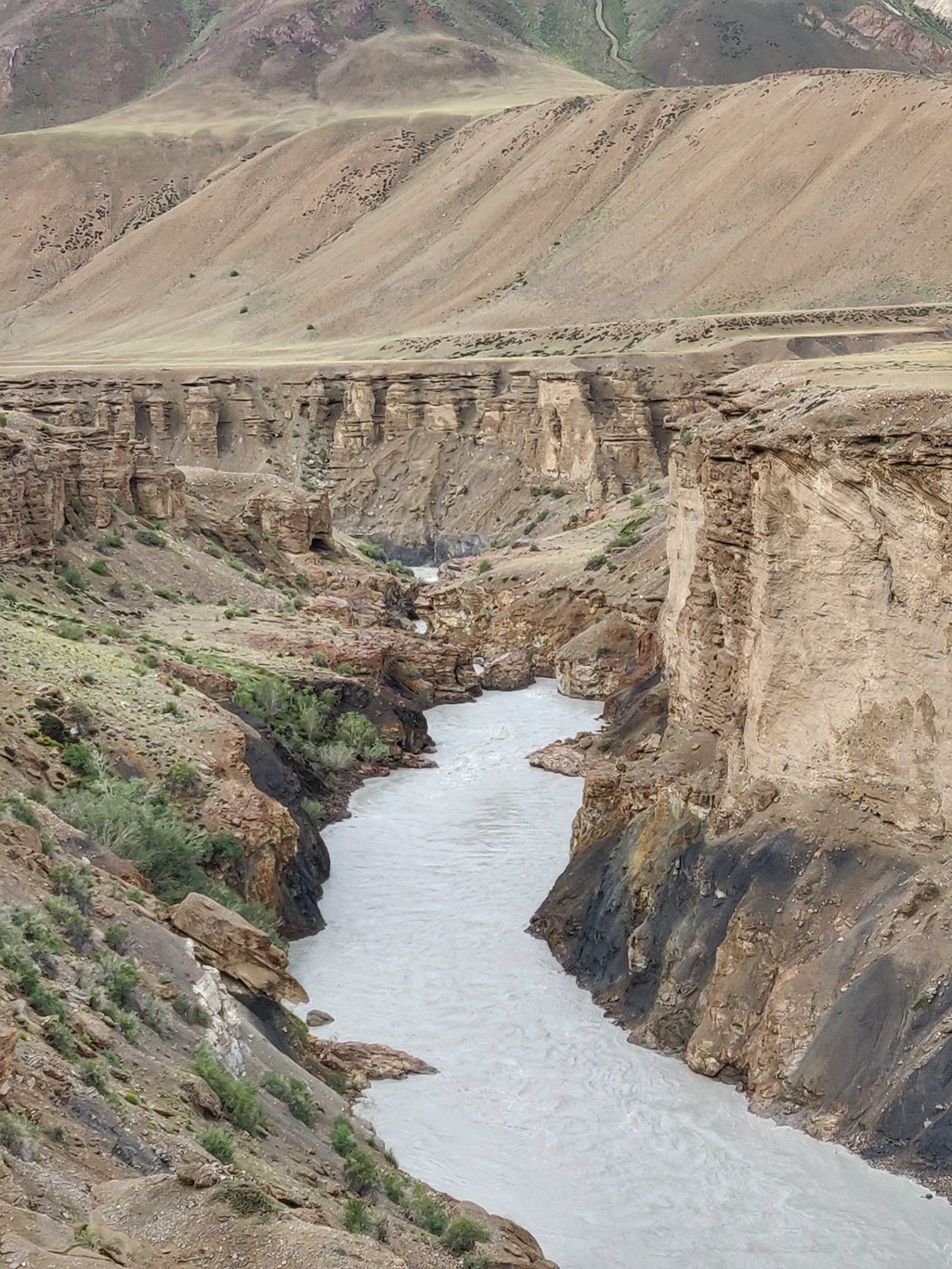
 Both sides of the canyon are lined by tall standing eroded structures. At regular distances you can find large flat areas on both sides of the valley where people used to farm through irrigation of melt water flowing from the side valleys.
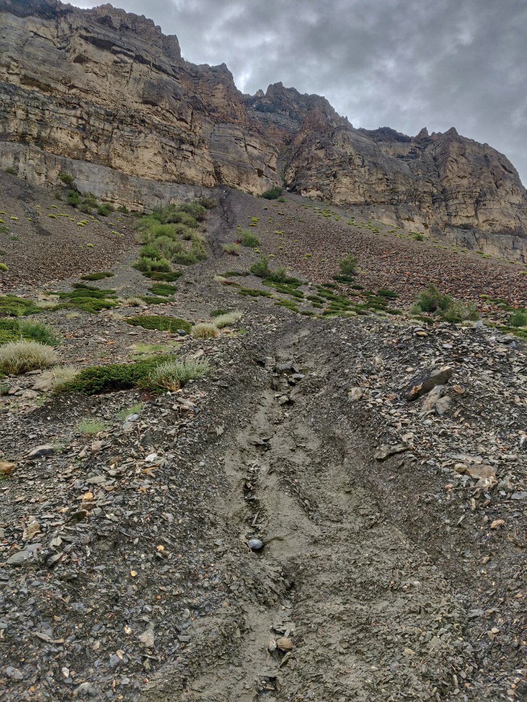
 Heavy recent rains have caused small landslides along the valley slopes destroying the trail at some places through small gullies channeling the excessive water from above.
 3km after Mune Le there is a bridge across the Tsarap river where it flows through a narrow gorge connecting hamlets on both sides of the valley.
 Another few kilometres upstream is Satok, a beautiful uninhabited settlement surrounded by farmlands. All houses are built close to each other in a royal looking ensemble.
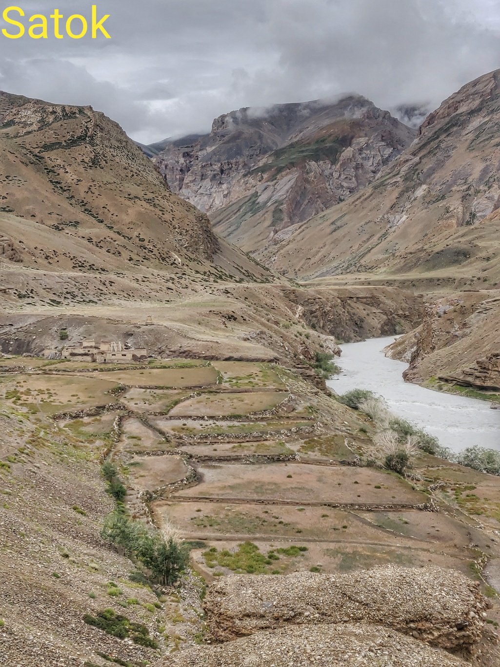 Inhabitants seemed to have left in a hurry leaving everything behind: farming equipment, household items. Walls and roofs are still standing but slowly falling apart by the weather elements.
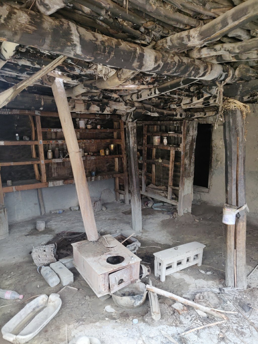 Ground quarters are used to keep the cattle. People reside on the first floor. Roofs are made out of wood and soil. Once the ceiling starts leaking and water enters the building, the structure weakens.
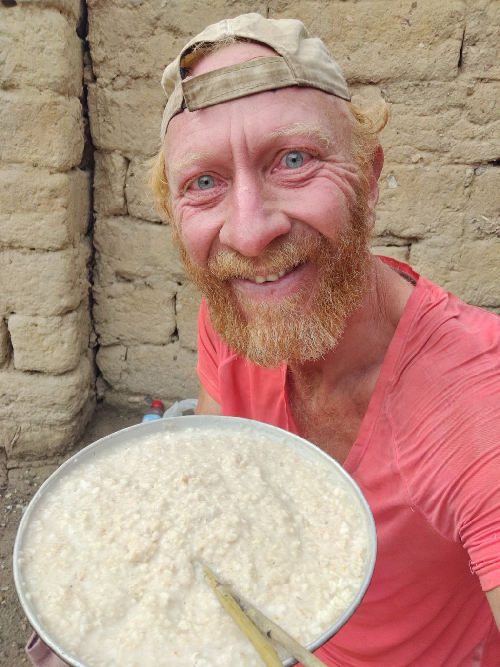 I make a quick fire with some dry wood, put three rocks together and cook up some white oats after a solid 2 hour morning hike. Breakfast always tastes better after some physical activity.
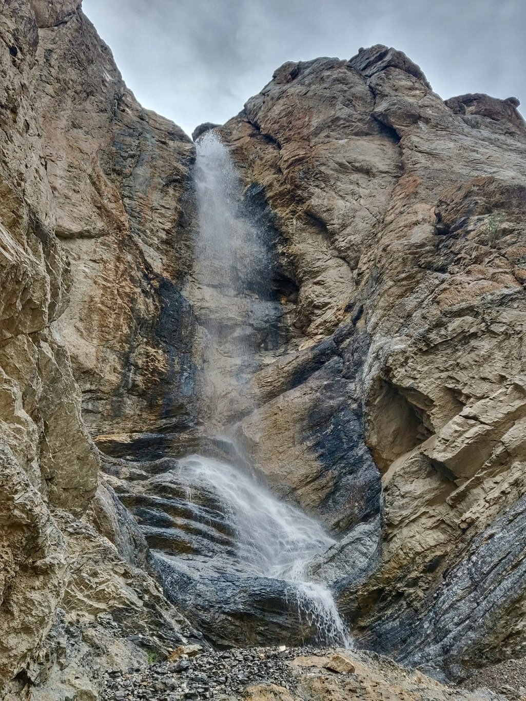 After Satok the trail climbs up around 300m and hops up and down across 5 small ridges before descending back down into the valley. From the top of these ridges you get excellent views on the Tsarap river below cutting deep inside the valley.
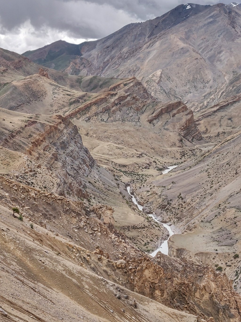 On the opposite side of the valley one can spot certain ridges and slopes which are remarkably green and furtile even tough they seem to be high up with limited water inflow.
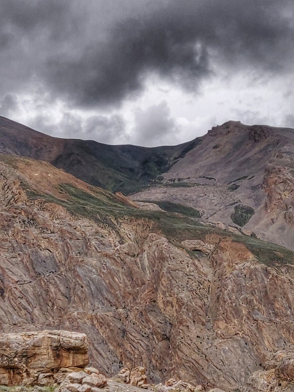 After the trail descends into the Tsarap valley there is left side valley joining which takes you to the Marang La pass at 5350m. Going straight the Tsarap river takes you to the base of the Gata loops along the Manali-Leh highway.
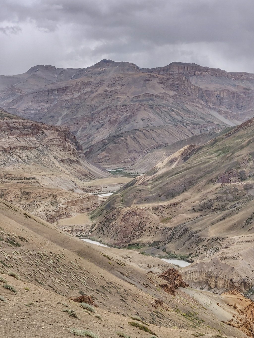 I turn left into the side valley where a small stream runs through a smaller gorge before widening up. Along the way you pass the ruins of deserted hamlet of Ranbok.
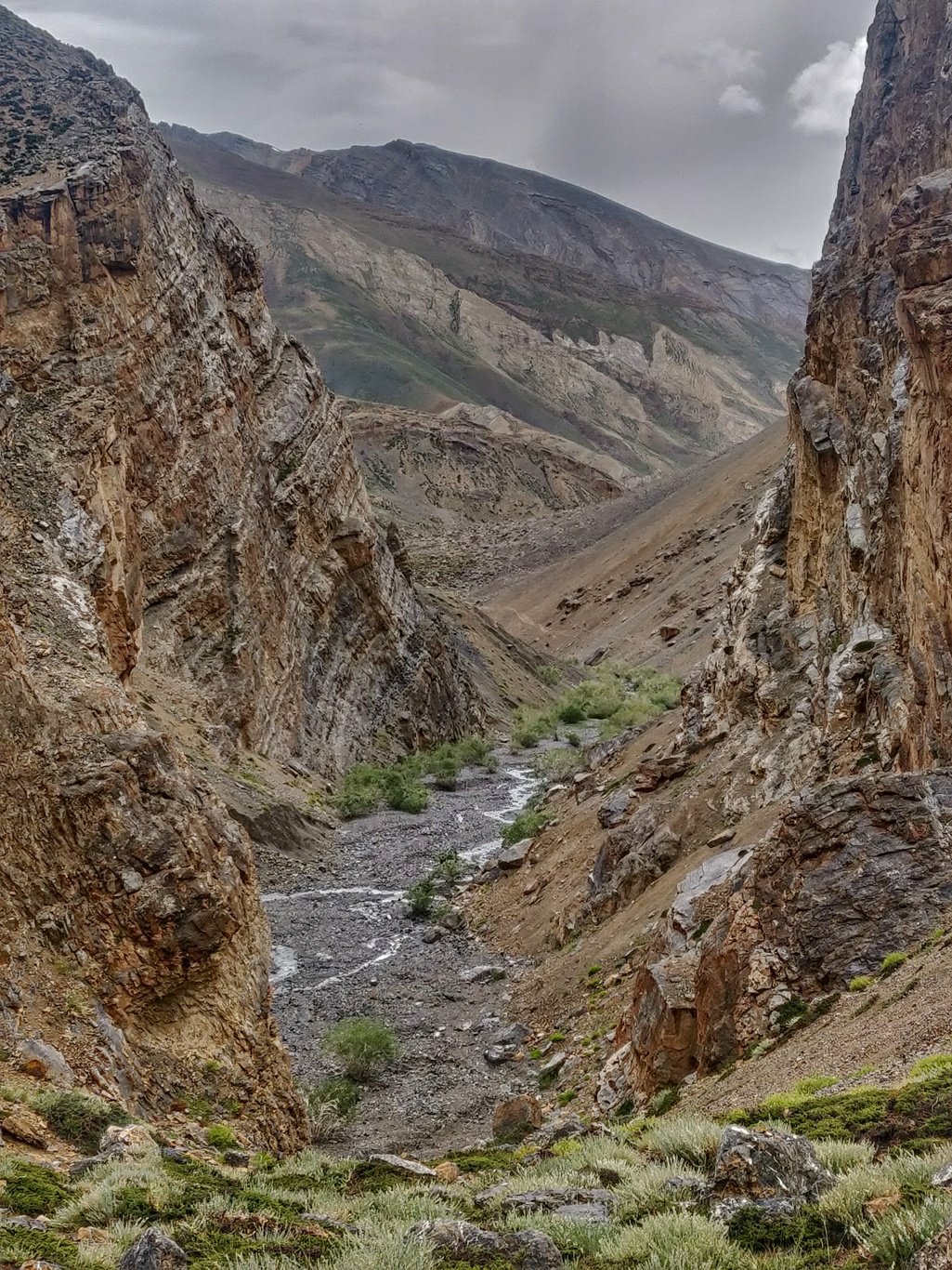 The trail steeply climbs up to the pass hair pinning through rocky moraines. The Marang La is located on a vertical wall which seperates the valleys of the Tsarap and Zara Chu rivers.
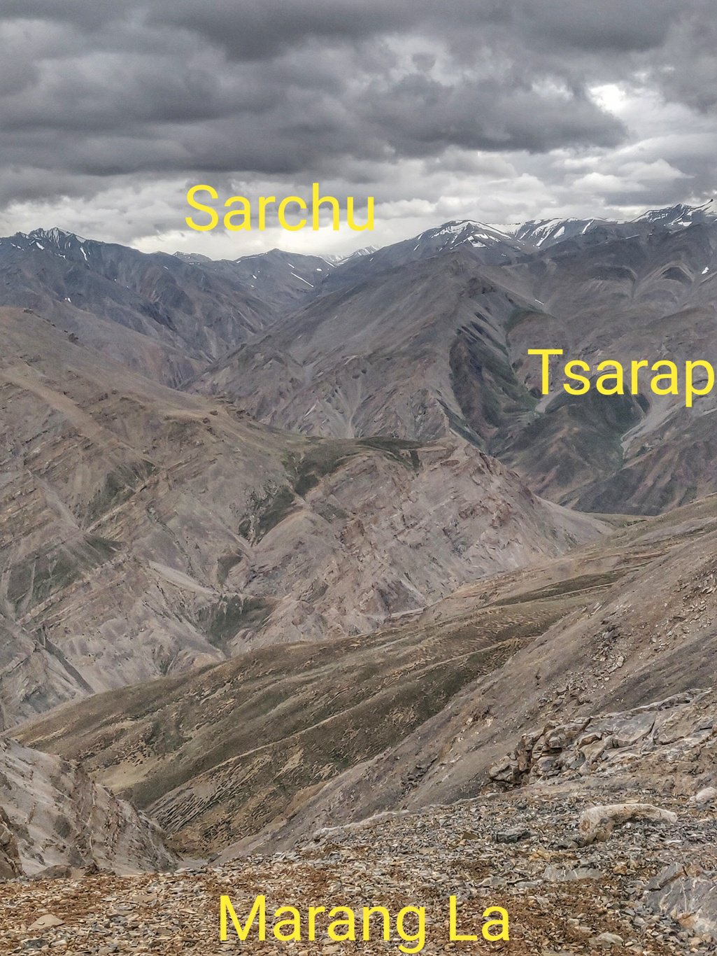 From the top you get excellent views on both sides. The Tsarap flows down from near Sarchu where it is joined by the Yunam and Lingti Chu rivers. On the other side is the Zara Chu which flows down from North and is joined from East by Toze Chu.
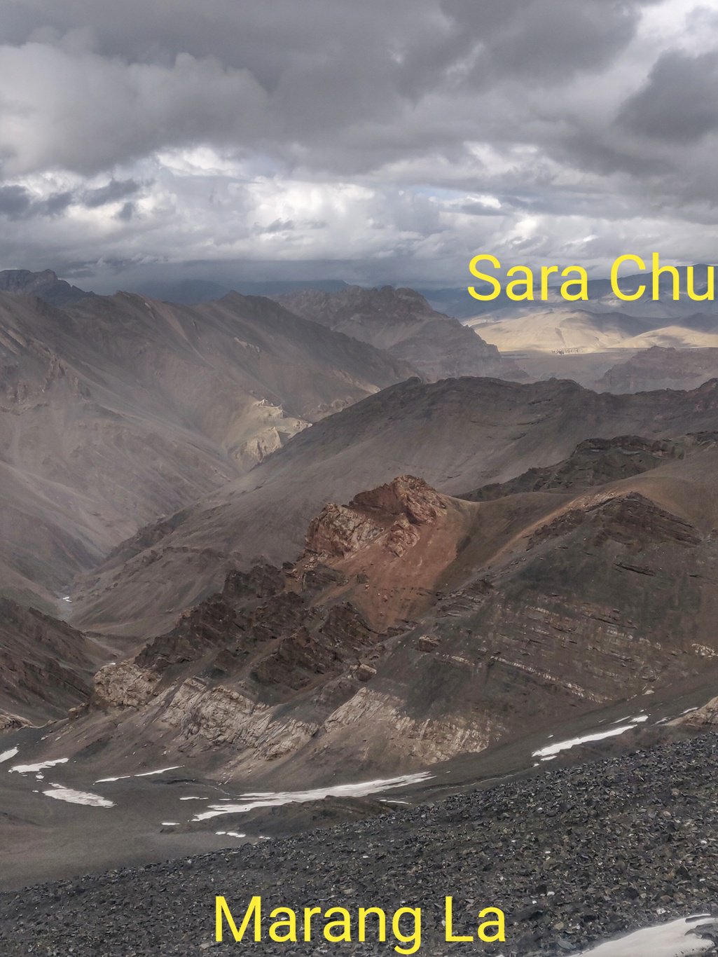 I run down steeply from the Marang La hair pinning through rocky moraines below the pass with beautiful white-black-orange rock formations into a narrow canyon where the valley flattens out.
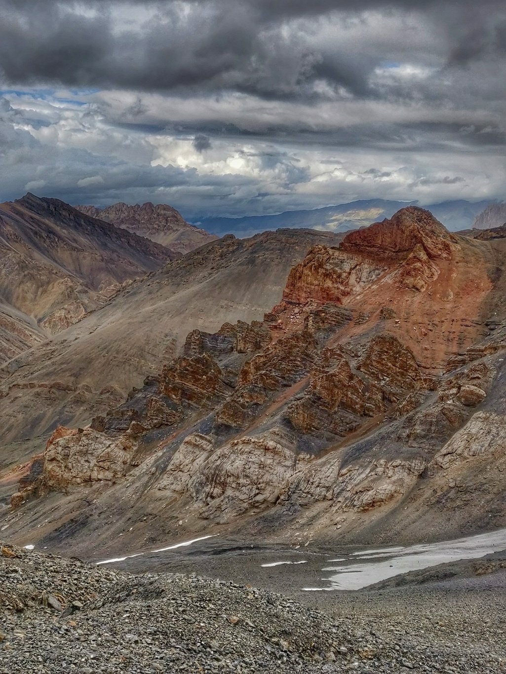 A small stream snakes its way through a rocky river bed with orange coloured rock formations on both sides of the canyon. At a few spots you can find suitable flat spaces for camping.
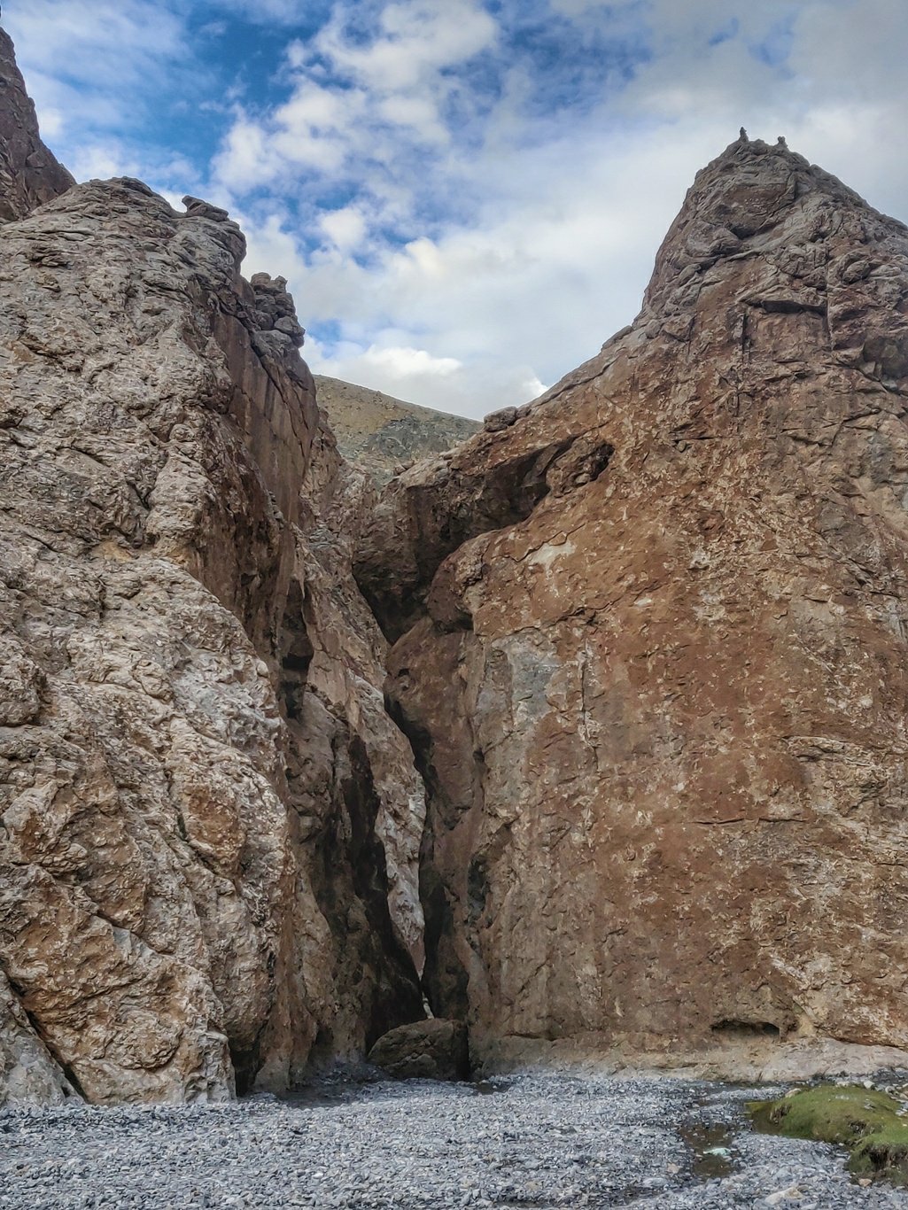
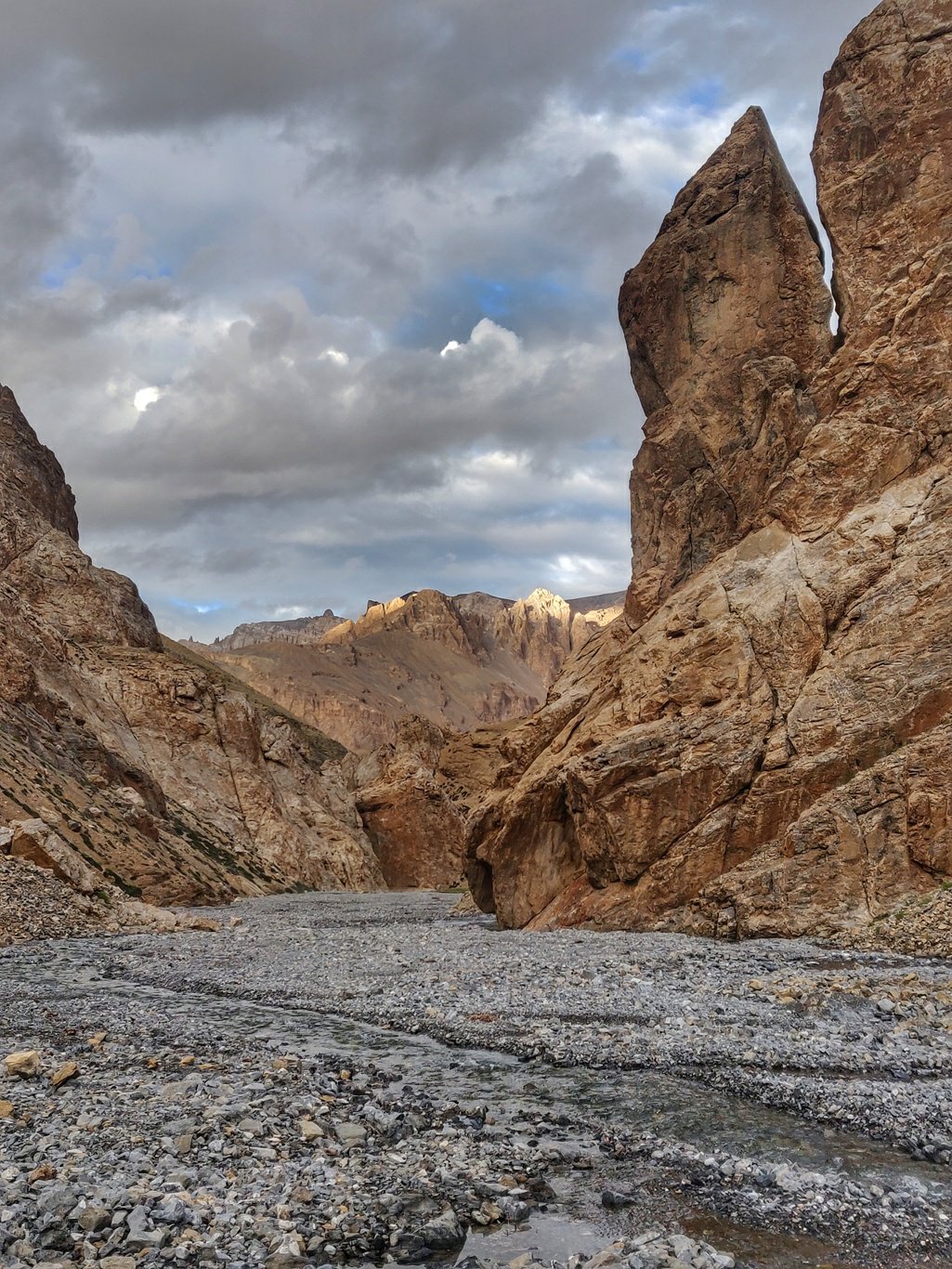 At one place the stream flows through a very narrow gorge where I find a nice flat grassland and settle down for the night. A chill wind is blowing through the valley and later at night it starts raining resulting in a cold partly sleepless night.
Copyright © 2019 UltraJourneys - Supported by dreams
