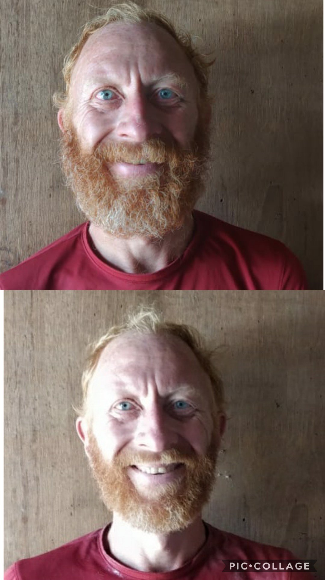
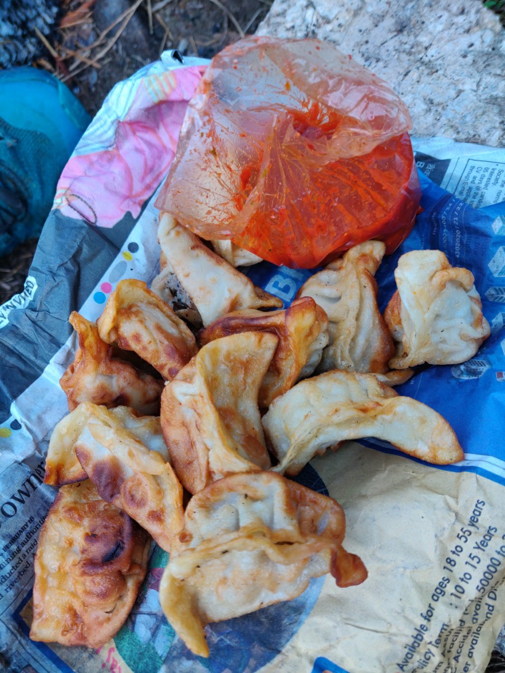
Thanks to Rijul Gil for suggesting one of the most beautiful trails in the Dhauladhar. Myself, Anbu and Dhanu took a share taxi from Dharamsala to Khanyara 1400m. Totally 15 members were squeezed into the Mahindra jeep. We reached mid day and had lunch in one of the dhabas. Yummy crispy fried mutton mommos, chowmein and chaval. We also packed up one more portion for the next day.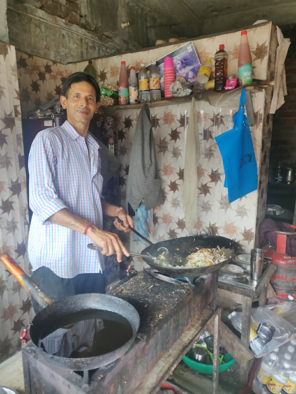 After two months of “no shave” it was time to transform the ape man to a slightly more civilized appearance. With thorn t-shirt and wild grown beard I could see some giving me a “homeless” look. 30Rs for a quick trim in the local barber shop in Khanyara did the job!
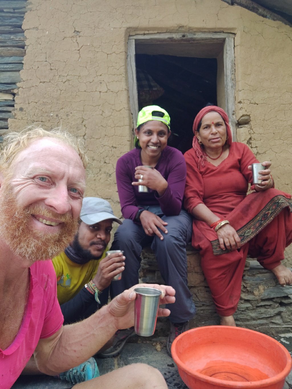
 We walked along a dirt track towards the Thathri hydro electric project and soon after reached the small hamlet of Thathri 1750m itself. There are hardly 6 houses of which a few seem to be inhabited. All houses appear uniform with mud and cow dung plastered over the stone walls. A friendly lady offered us tea and was chatting with us for a while.
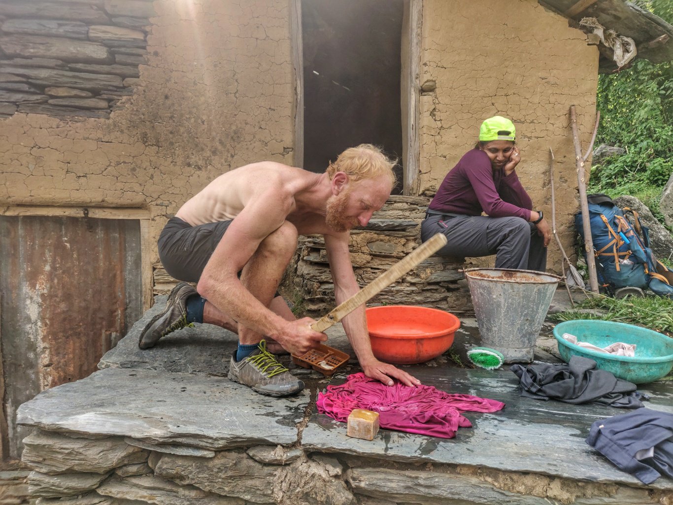
 She was washing her clothes with soap and stick. I used the opportunity to clean my favourite pink hiking tee which had been soaking up weeks of sweat and only been rinsed in the streams so far. A brown liquid flowed down when squeezing it out after soaping it up.
 We resumed our way along a small, less frequently used trail behind Thathri following the stream. As soon as you cross the ridge behind the hamlet you suddenly enter a beautiful lush green rain forest. Lots of trees, bamboos and the water flowing through the valley. Hydro project clearly transforms a thriving natural eco system into an open, barren rock desert.
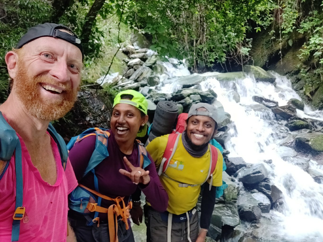 The trail still appears used by some shepherds looking at the goat poop along the way. We hike up through beautiful bamboo forest while gradually ascending along the stream. The trail is pretty clear and we make good headway.
 The trail periodically climbs on the right valley slope bypassing steeper sections. At one point we cross a side stream with abundant water flow which drops down as a large waterfall into the main valley.
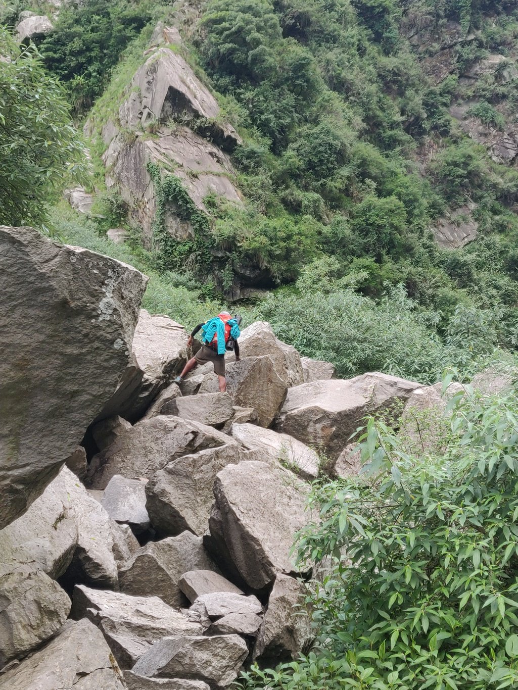
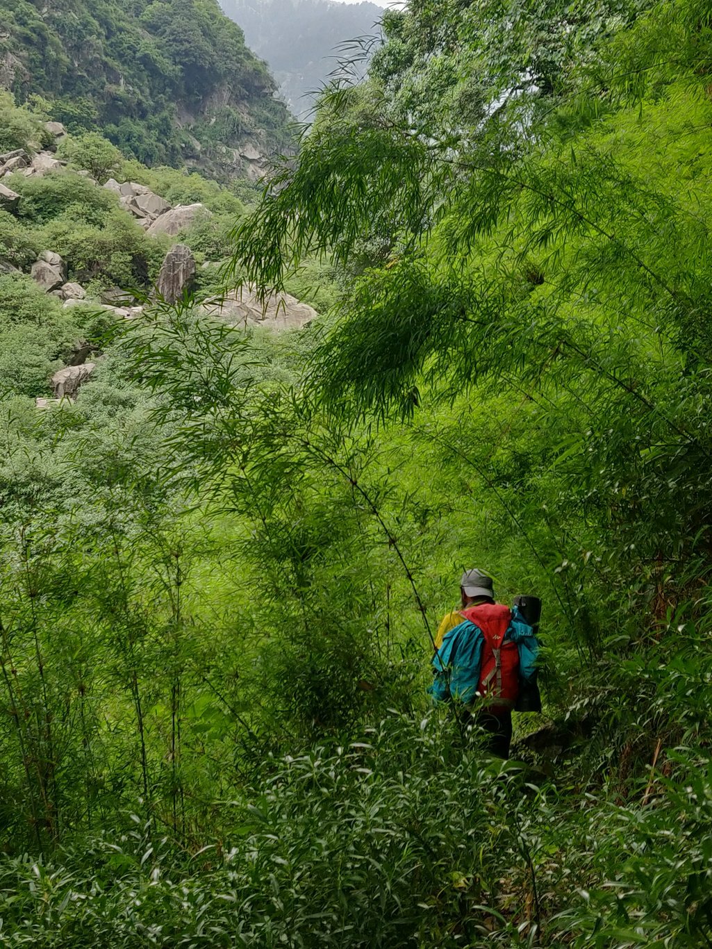 At one place the trail seems to disappear into the jungle and we spent quite some time trying to get back on track. We finally notice a red flag across the stream and cairns (stones piled up as route markings) guiding us across a section of large boulders
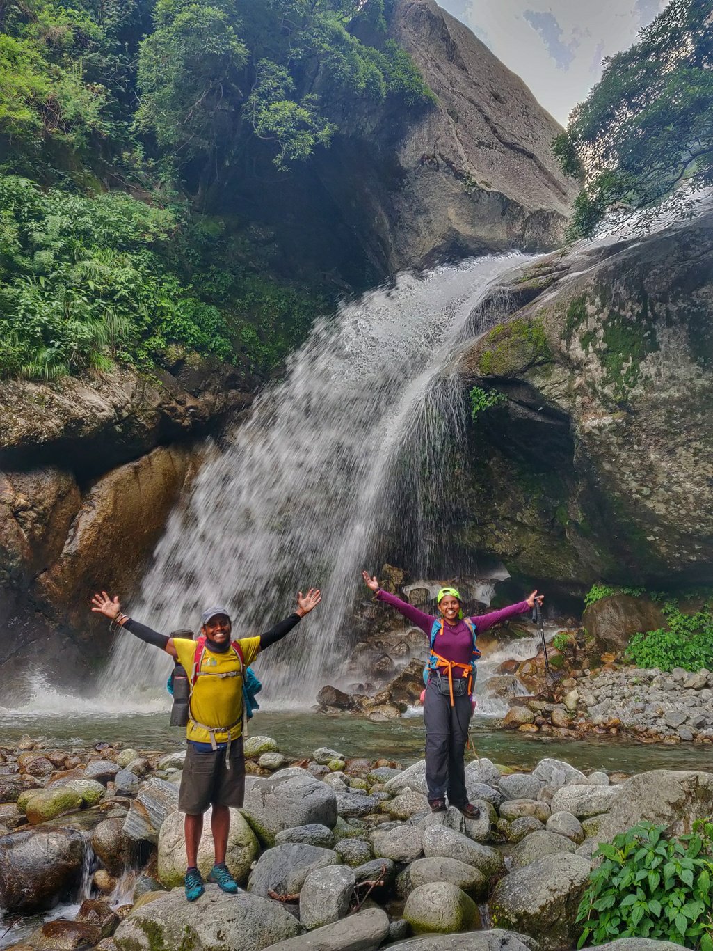
 After the boulder zone we come into an open flat space where a large waterfall drops down the stream. It appears like a dead-end with no immediate way across. We track back downstream and locate a trail which climbs around the falls getting us across.
 The sunset is turning the skies orange as we push ahead using the remaining daylight to reach the first campsite of Thrakdi 2300m. Here and there the trail switches sides of the valley crossing the stream using small makeshift bridges.
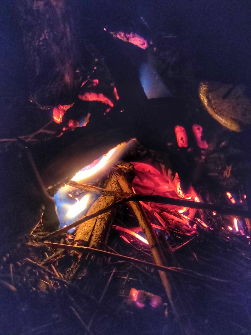
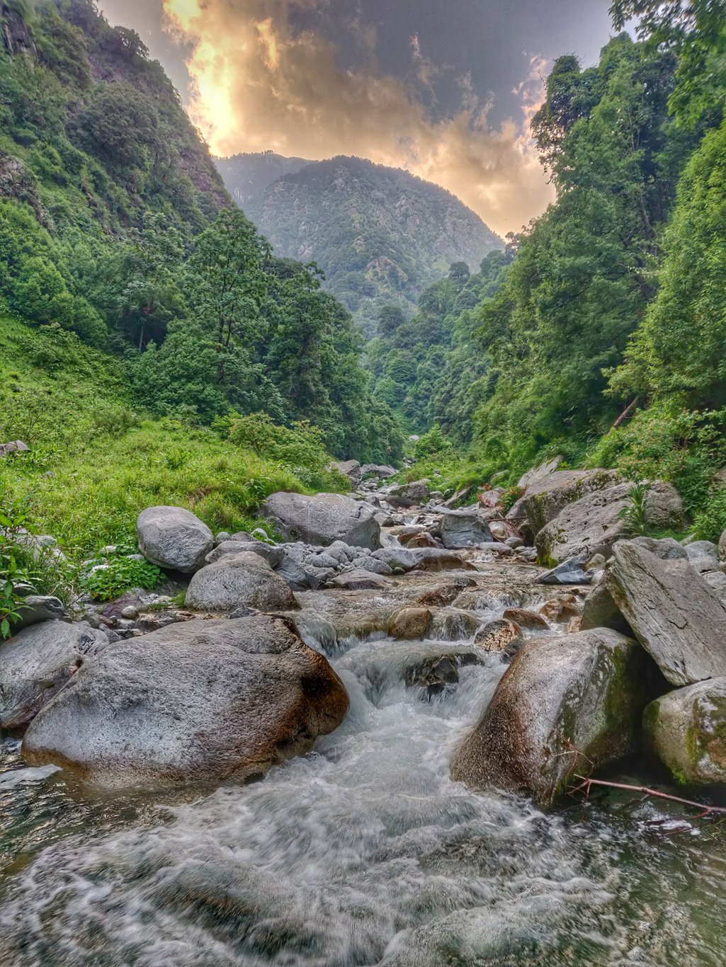 A bit after darkness I locate Thrakdi, a small flat space left above the stream. It appears used by shepherds. I try to make a campfire with the available firewood but in vain. The rains during the previous day’s have soaked the wood and after 30min of trying to create a sustaining fire I give up.
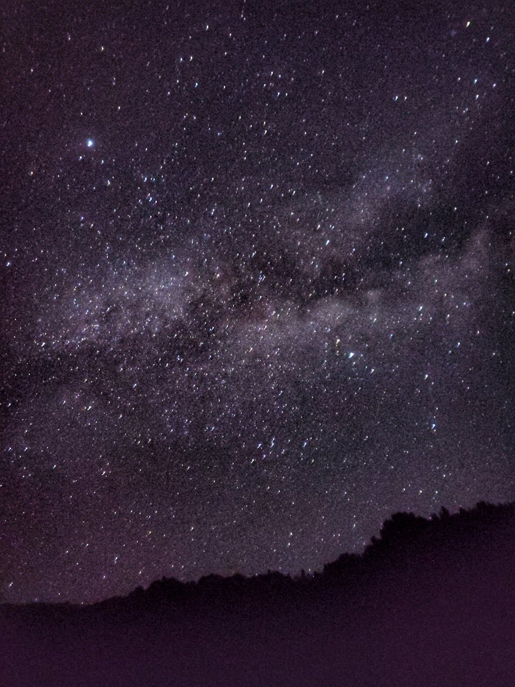
 I grab some sweet curd and biscuits for dinner and settle down in my quilt as the cold night sets in. I finish my daily routine of shortlisting photos and blogging the happenings of the day in WordPress offline. Near midnight with the sun far below and moon yet to rise I dream off below the nebula of the Milky way in the dark firmament above. My soul is at peace feeling connected to the beauty of the cosmic creation.
 Next morning we have yummy mutton mommos for breakfast to energize us for the day ahead. We packed up extra food as prices are soaring in the cafes near Triund. From Thrakdi the forest fades out and the trail runs through open meadows so it s much easier to proceed forward.
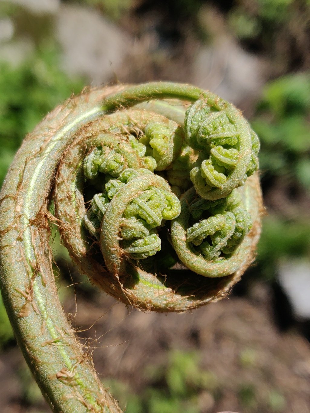
 Soon the meadows become steeper and the Baner Khad stream branches out from multiple side valleys. The packs are feeling heavier pushing uphill along the boulders next to the stream. In the higher altitudes one can find the edible plant shown below which is collected by locals and used as food.
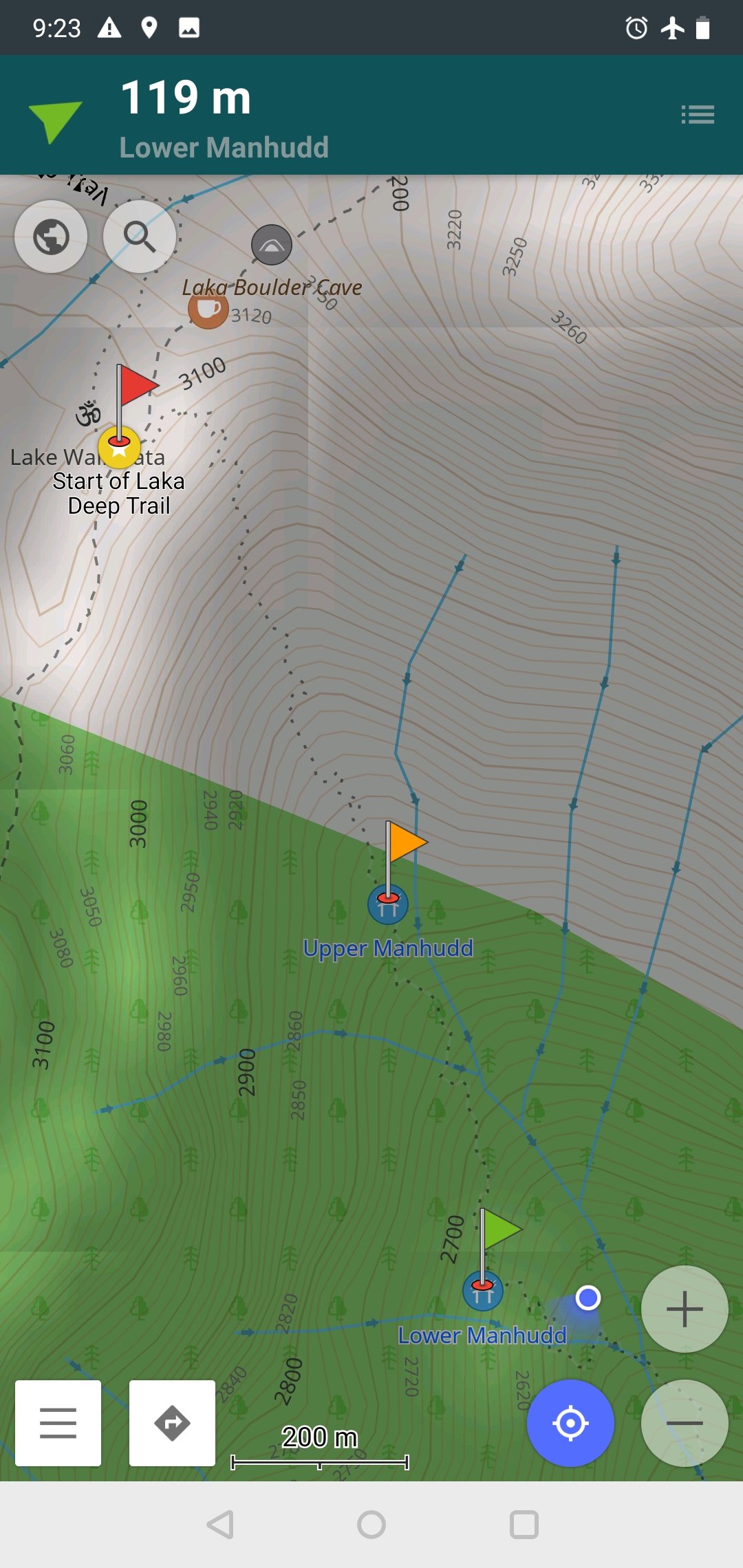
 This and other beautiful trails in the Dhauladhar are precisely documented in OSM (Open Street Maps). With a mobile viewer like OSMAnd (my favorite) or MapsMe one can download maps and trails state wise and navigate offline without mobile network. Piece of mind in case if you lose track of the actual trail in the field.
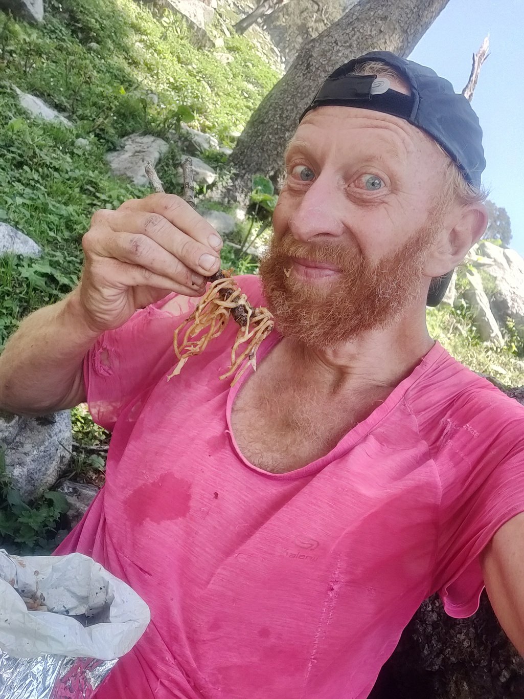
 While waiting for my co hikers to catch up I gobbled down some yummy mutton chowmein. Properly packed and cool climate preserves fresh food easily 32 to 48 hours. Much more nutritious and efficient then carrying Maggies and a 1kg stove and fuel. The final ascent to Deep Laka saddle was smooth and quick across the meadows grazed by cattle and shepherds.
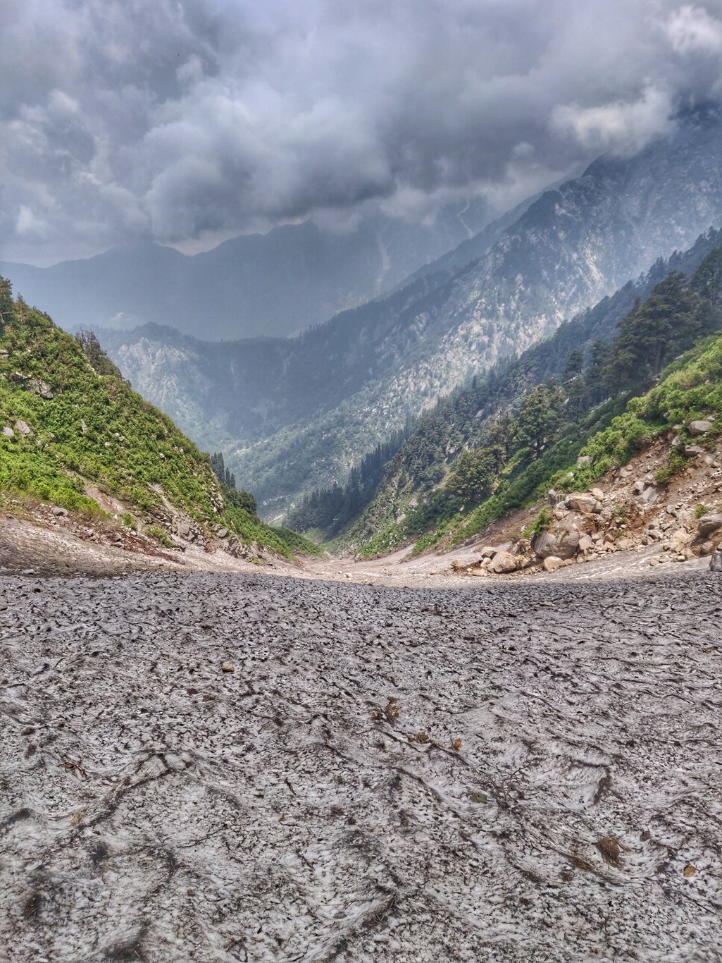
 On the other side of the saddle I initially climbed down steeply till the snow covered gully. Instead of following the somewhat obsolete trail along the right valley slope which I took last week, I simply descended straight into the gully. The slope was not too steep and the surface rough and covered with sheep poop.
 I could descend quickly into the valley and soon step onto the meadows where a clear and frequent used trail contoured towards the next saddle of Deep Goth. Along the way I pass two young shepherds and their herd of sheep and goats. Friendly as always and deep knowledge of the mountain trails.
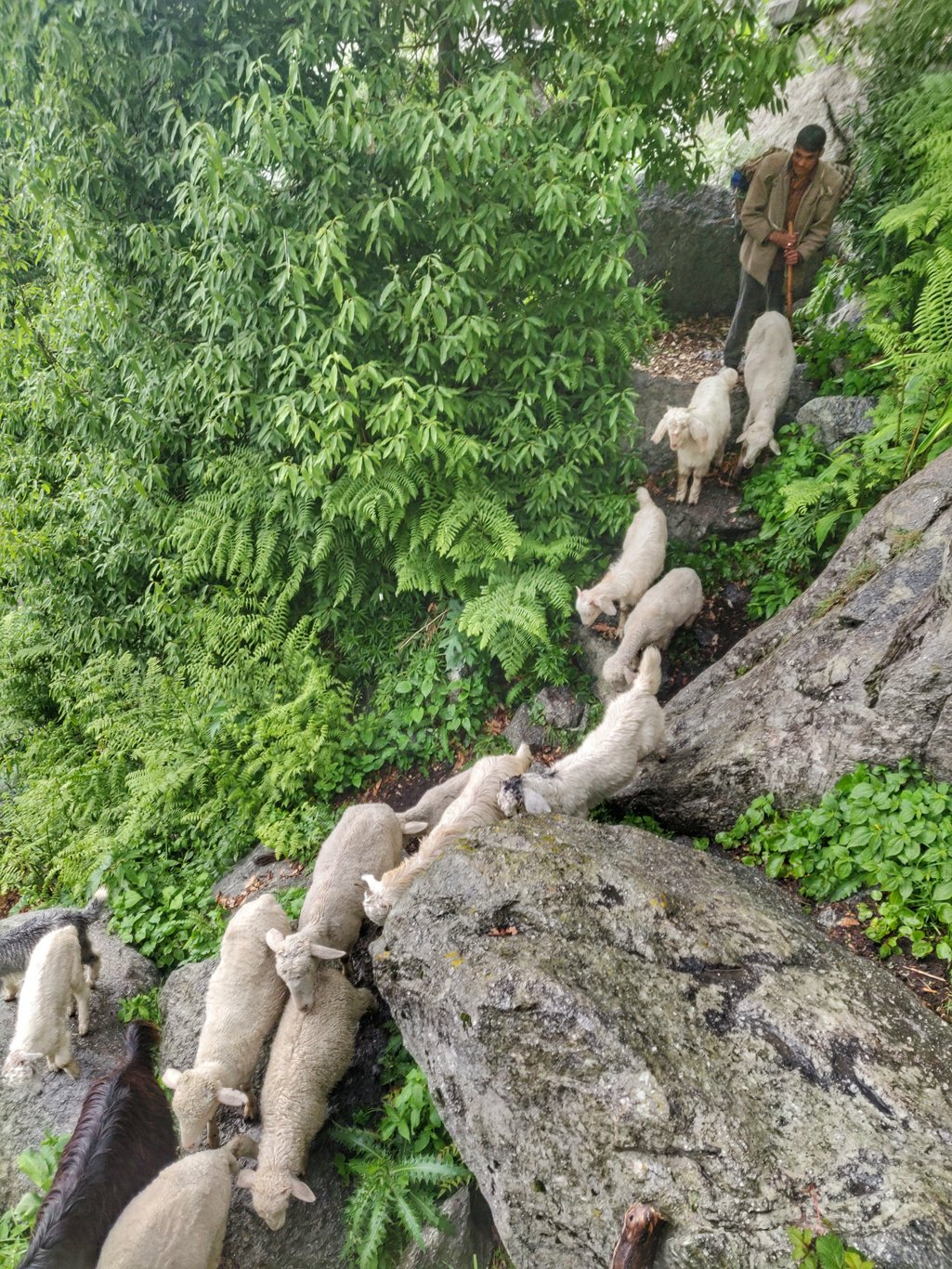 After a sunny morning by 1pm the weather Gods opened the flood gates and I took shelter beneath a big tree. Intense rain usually does not last very long in the mountains. Crackling sound of thunder above as the mighty Dhauladhar were creating the weather.
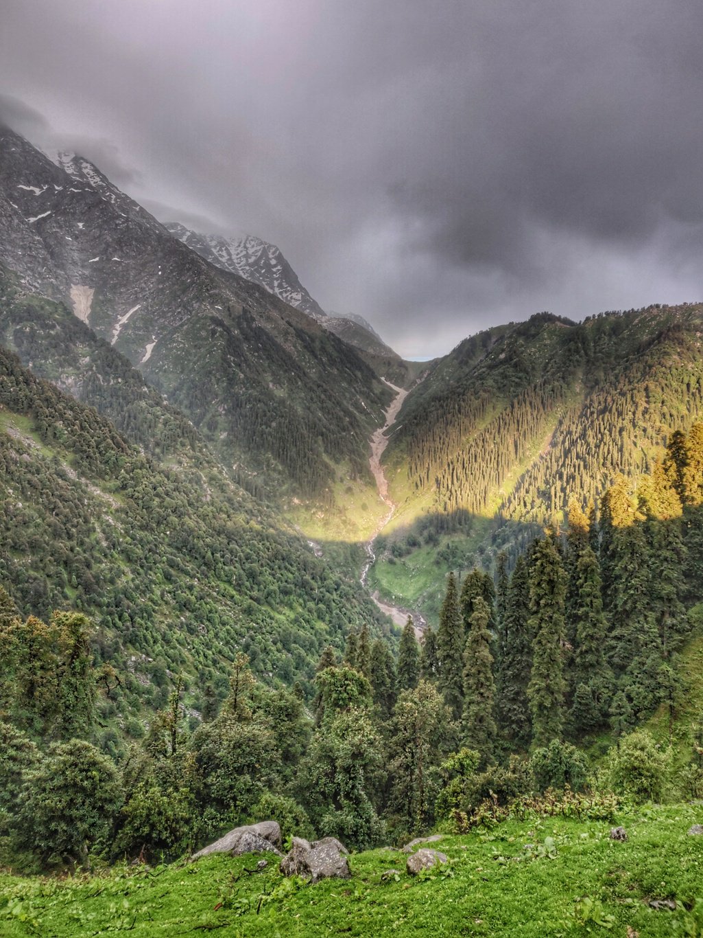 After an easy 250m climb up through a nice trail I reached my destination Deep Goth, a picturesque hamlet on top of a remote saddle in between Laka and Bagga located at the base of the steep Dhauladhar range. The hamlet has 5 rock homes with wooden roofs, mud plastered on the inside and a small mandir.
 It was 2pm and still raining, wet and cold. A lady called me into her home where the entire family was snuggling beneath warm blankets around a small cooking fire. Immediately I was treated on hot chai, samosa and lassi. The family was I intrigued by my photos of Uttarakhand and Himachal.
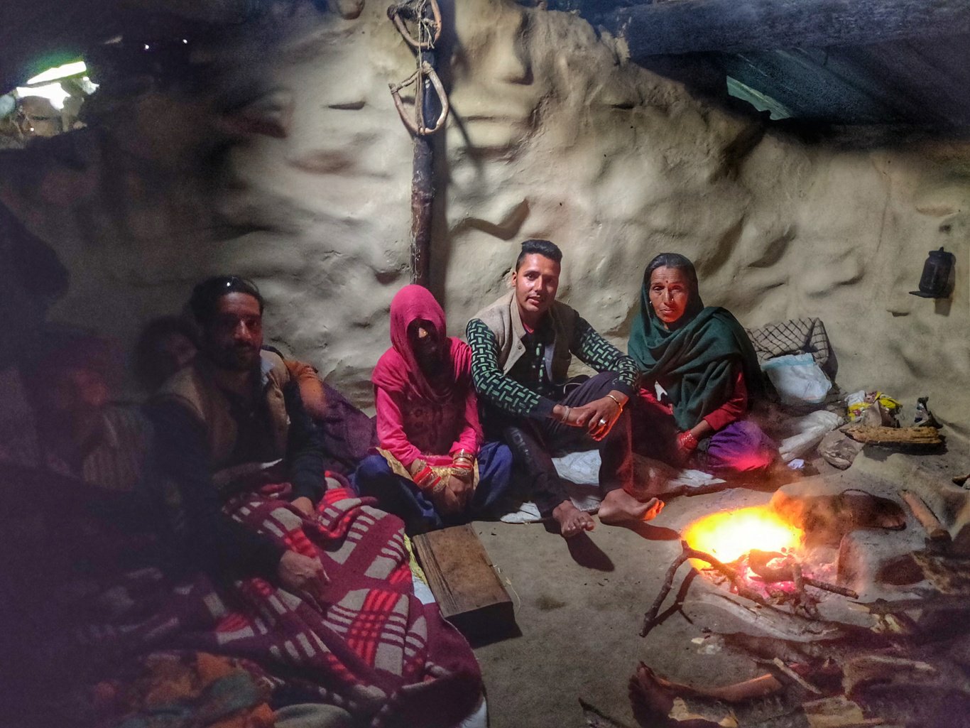 With no change in weather condition I huddled beneath warm blankets and took a nap while neighbours were chatting around the fire. I could hear the rain lashing on the roof outside. I must have slept off as the sun was setting when I woke up around 7pm.
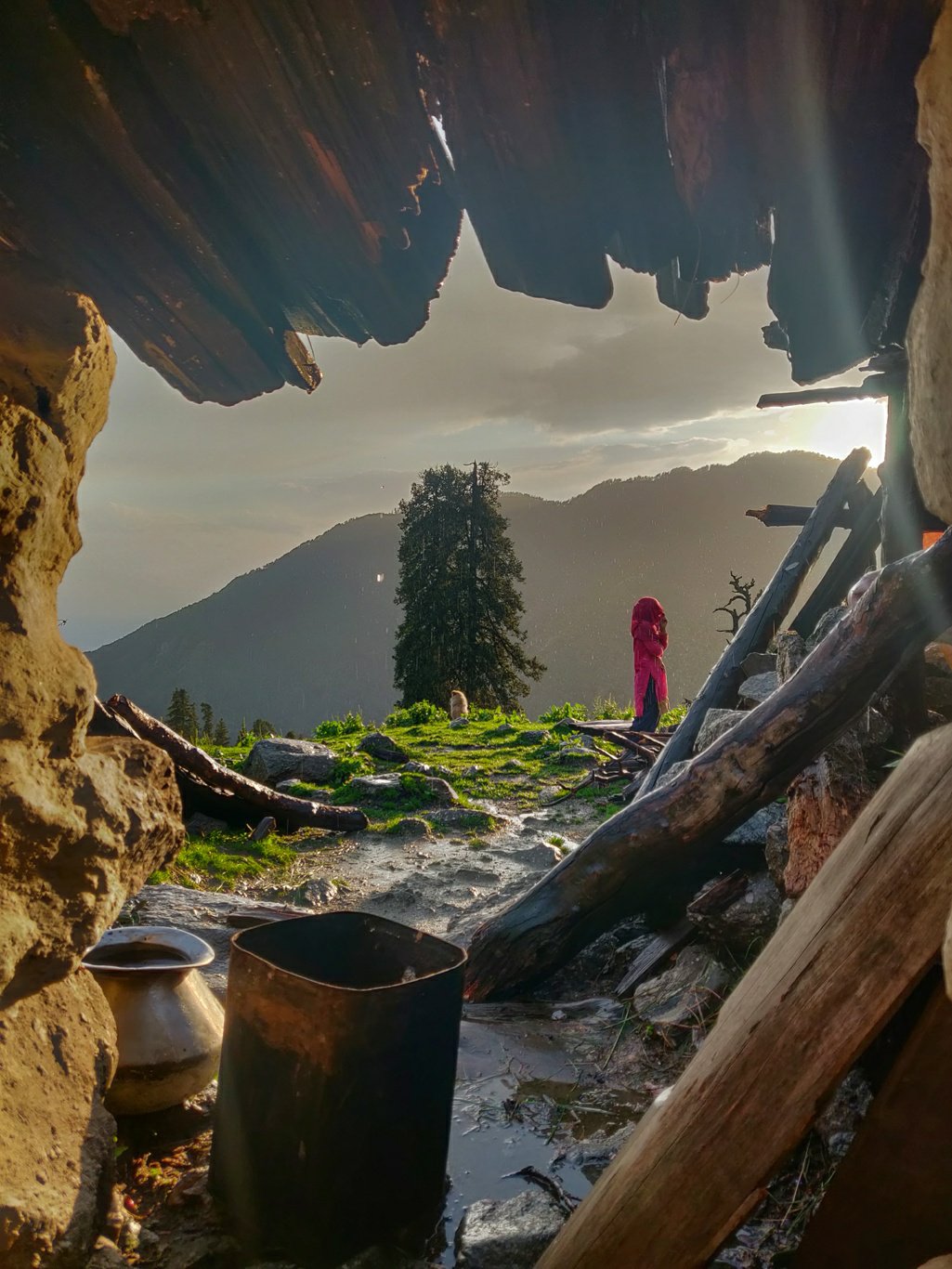 I stepped outside and took beautiful photos of this fairytale hamlet which was lit up beautiful in the sunset light. The views on the surrounding valleys and Dhauladhar above were mesmerizing. The locality radiated a sense of remoteness and peacefulness. Some 15 people lived in this hamlet and all were friendly and curious about my itinerary.
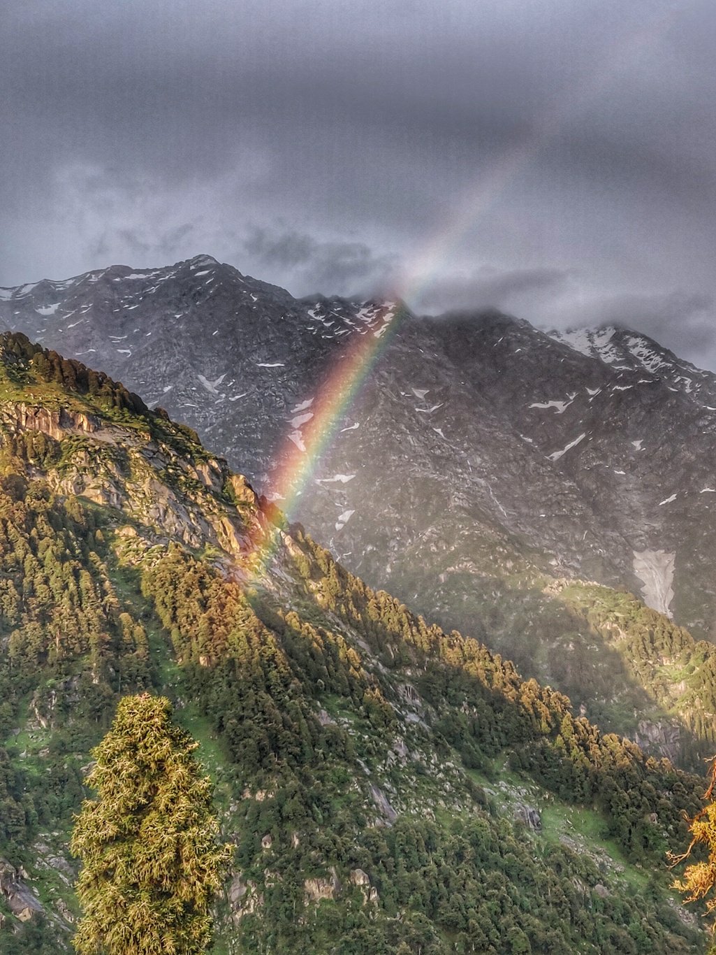 A beautiful rainbow formed below the mighty Dhauladhar. My camera kept clicking as I walked around the settlement taking in the overwhelming views on all sides. The family invited me inside another home to stay for the night and served me mutton rice for dinner.
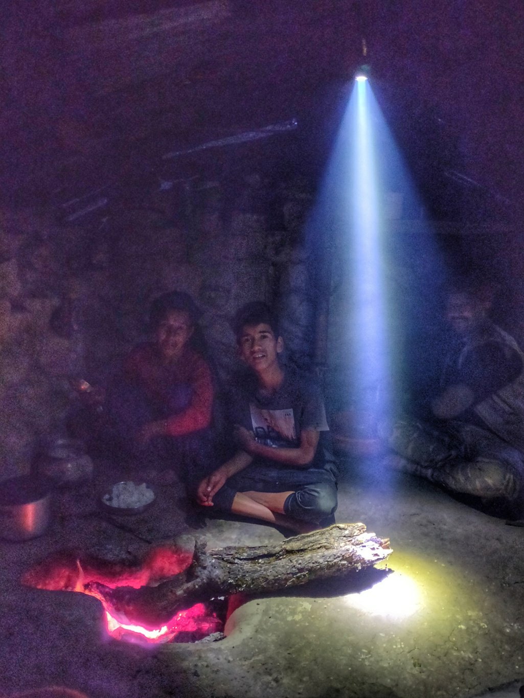 Nothing compares to the heart warming feeling of being welcomed into a stranger’s home and treated with genuine, unexpecting hospitality. The feeling of being home with strangers who treat you as one of their own. Experiencing true humanity
3 thoughts on “Trans Himalaya 2019 – Thathri, Manhud, Laka, Deep Goth, June 28-29”
Comments are closed.

Wooooow…..amazing…….the narration is sooo good and I can personify each and every detail of it
Awesome narration…. We get carried to the location
Excellent narration and superb photography.
Thanks for sharing this wonderful experience.
Regards,
shafic