I was woken up by two vehicles passing by around 5:30am. Damn! I could have hitched a ride to skip the road section to Cha village. I had a peaceful sleep in a new under construction house just above the road at Ichar.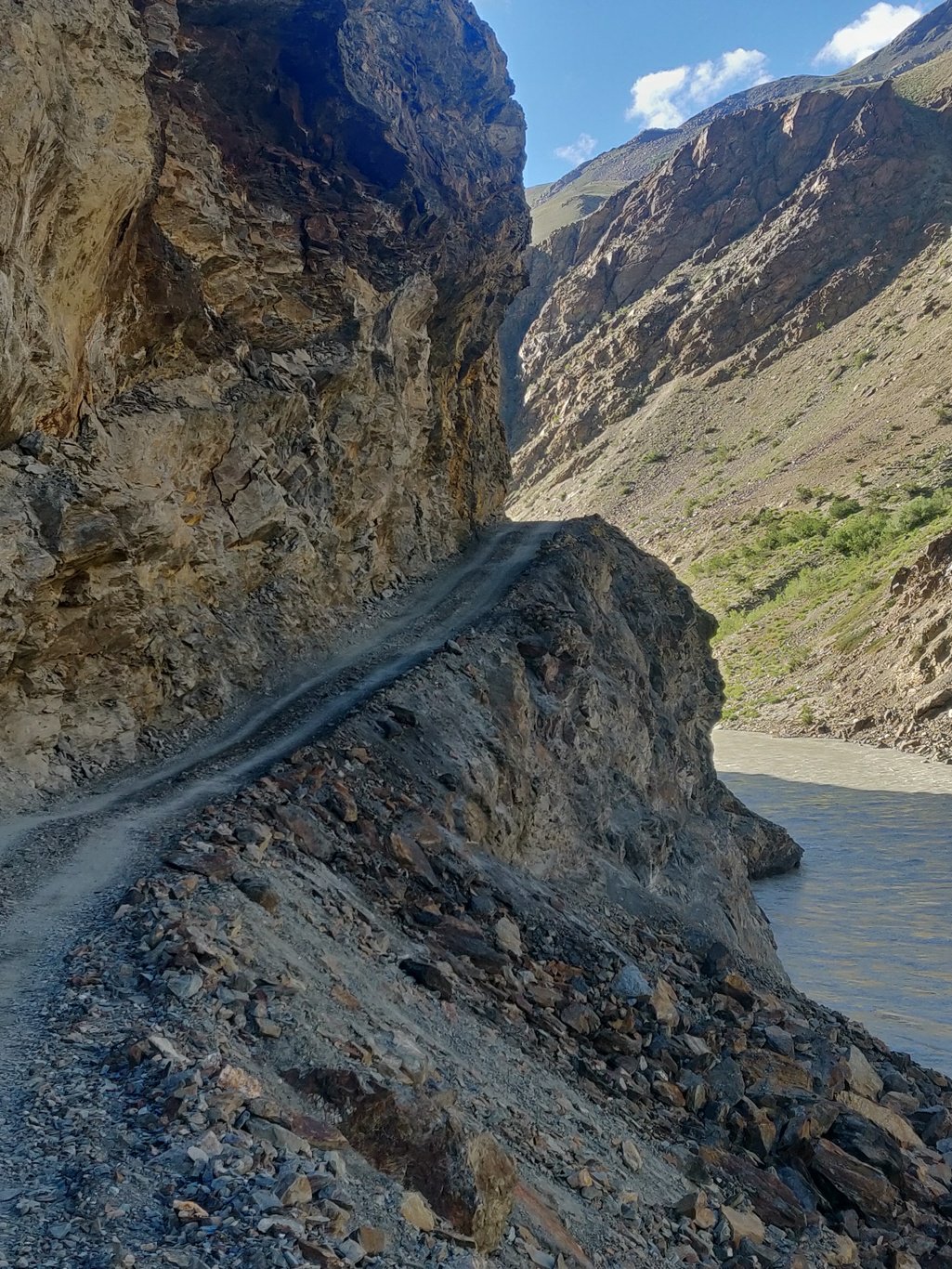 I packed up quickly and started walking along a jeep dirt track upstream the Lungnak river hoping to jump onto a passing vehicle. I passed by the hamlets of Amnu, Sule, Kyalbok and Zamdang. The valley turned more into a gorge and the road was cut out into the rock slopes.
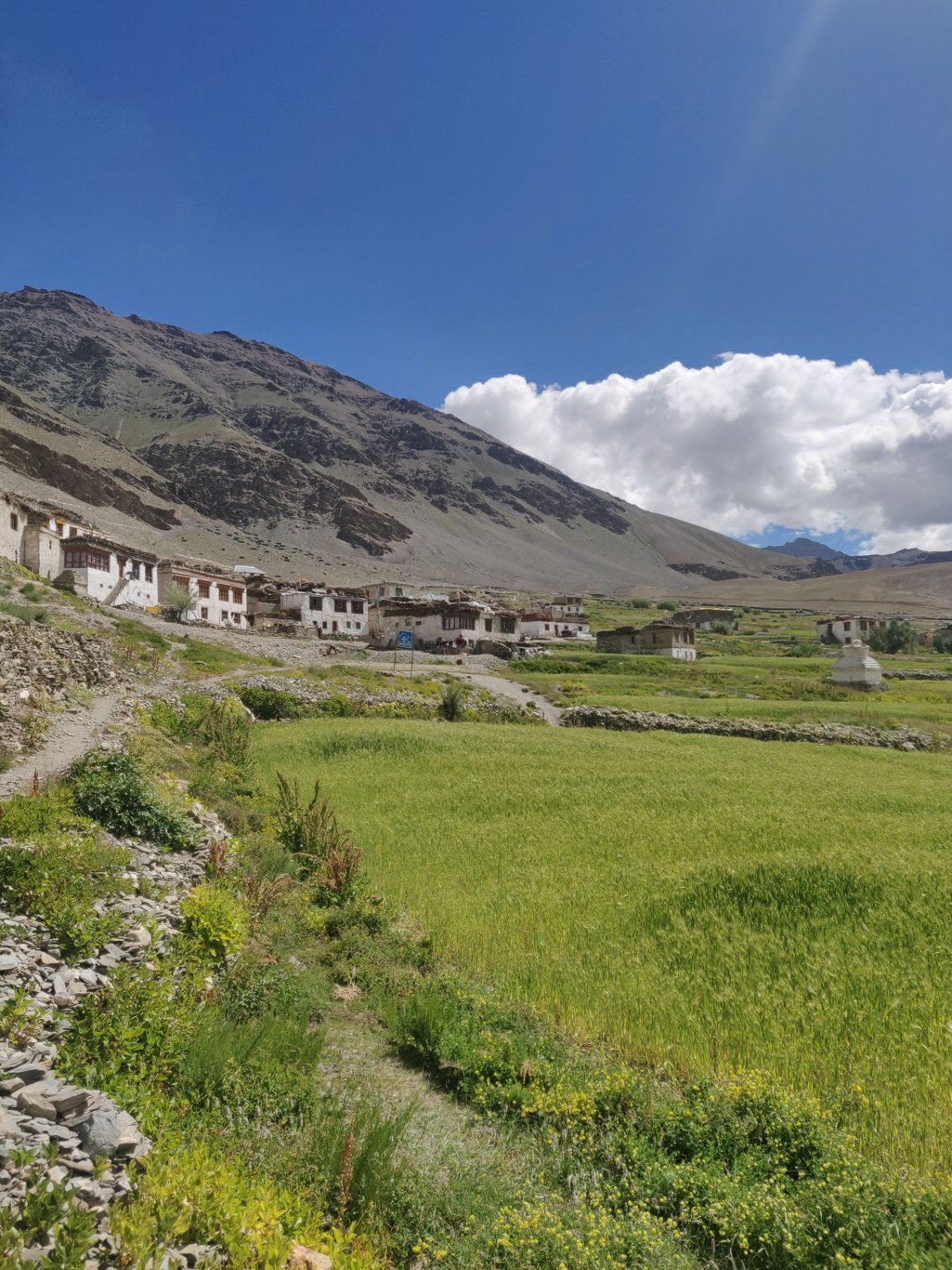
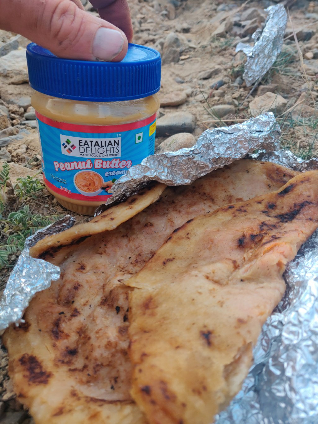 After a good two hour walk the stomach made its presence felt and I gobbled up two aloo parottas with peanut butter packed up in Padum the previous day. I finally hit the scenic settlement of Cha on the open valley slope. A newly constructed road now connects the entire further Lungnak valley across the Shingo La pass (5100m) to Darcha towards Manali.
 Having 4-5 days to spare before meeting up with 3 friends joining at Sarchu I decided last minute to change my planned route. Instead of heading straight into the Lungnak valley across the Surichun La, I decided to hike upstream the Tsarap river valley and cross the Marang La which would take me a few extra days.
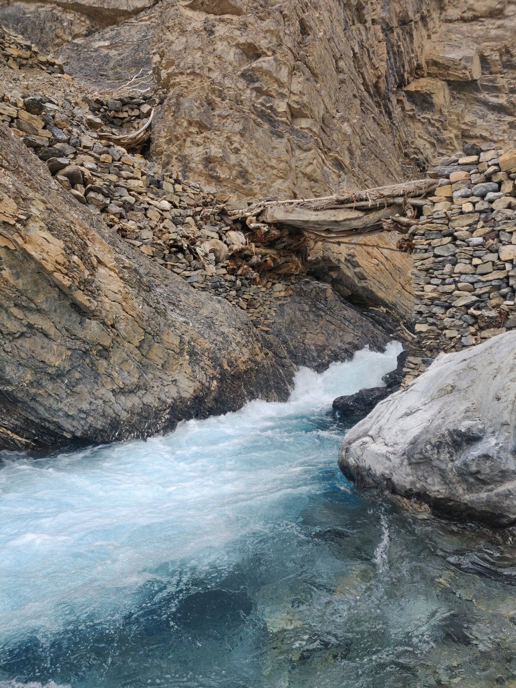
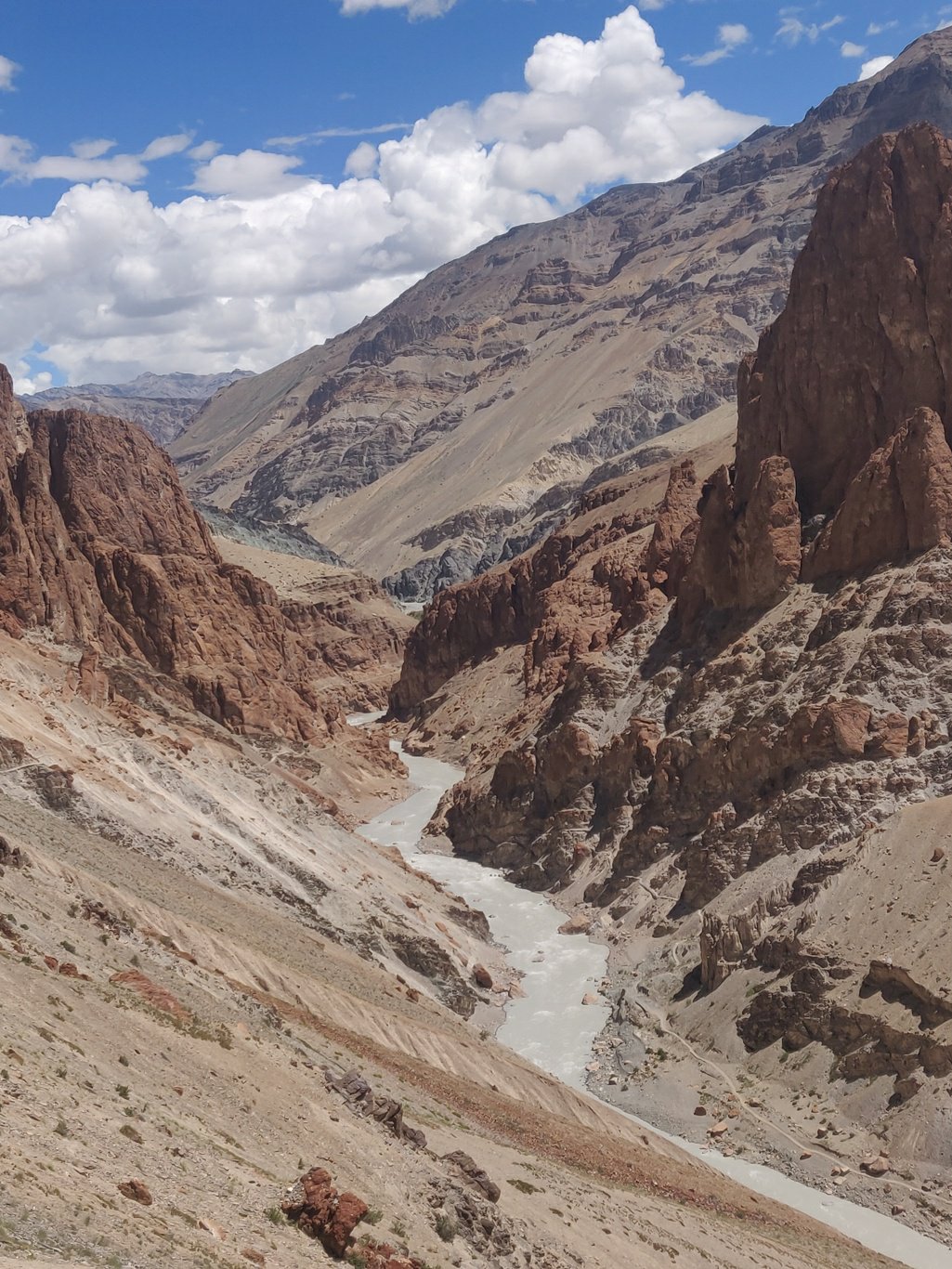 From Cha village a trail contours uphill across a small ridge and descends into the Tsarap river valley. The light blue stream paints a stark contrast with the surrounding red-orange rocks of canyon like valley. Just before Pukthal gompa a bridge connects the trail from the opposite side coming from Purne where the Tsarap and Lungnak join.
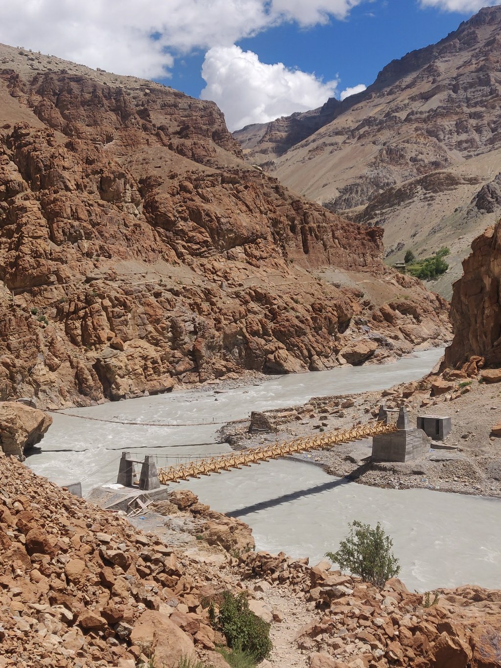 Pukthal gompa is a beautiful monastery built along a steep rock face above the Tsarap stream. Before the gompa there is a shop cum restaurant which makes a good stop on the way forward into no man’s land. I had some Maggie, eggs and Mountain Dew for lunch before heading on.
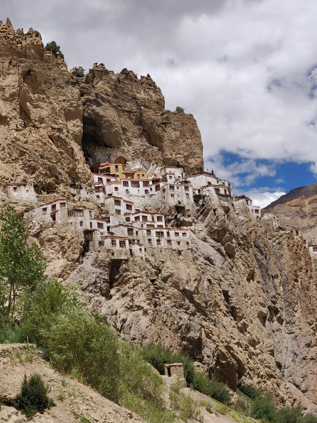 The trail climbs up through the gompa and then continues upstream high above the Tsarap river. Yugar, a lush green hamlet, is located on the opposite side of the monastery.
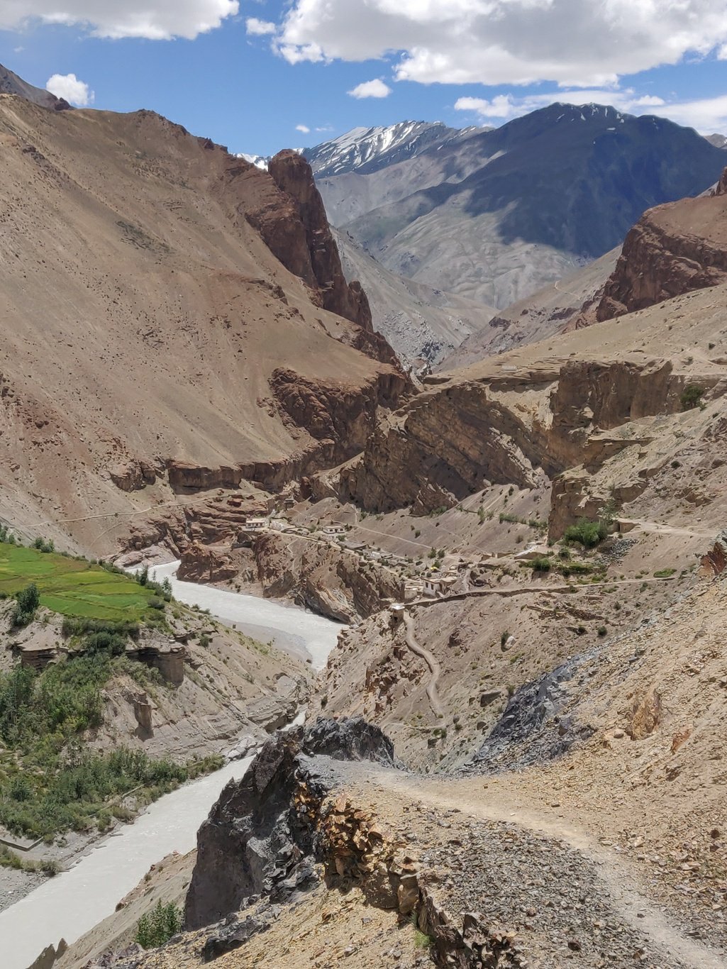 The Tsarap cuts deep into a canyon like valley with the trail continuing high above on the left side. Due to ongoing recent rains the river is grey-brown rather then its usual clear-lightblue.
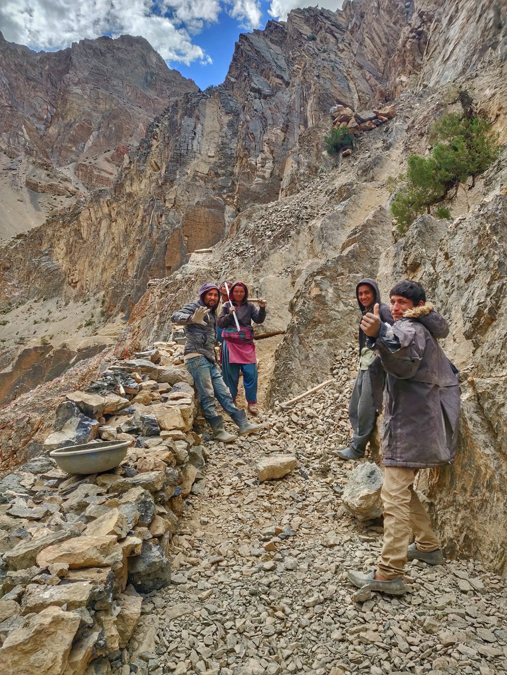
 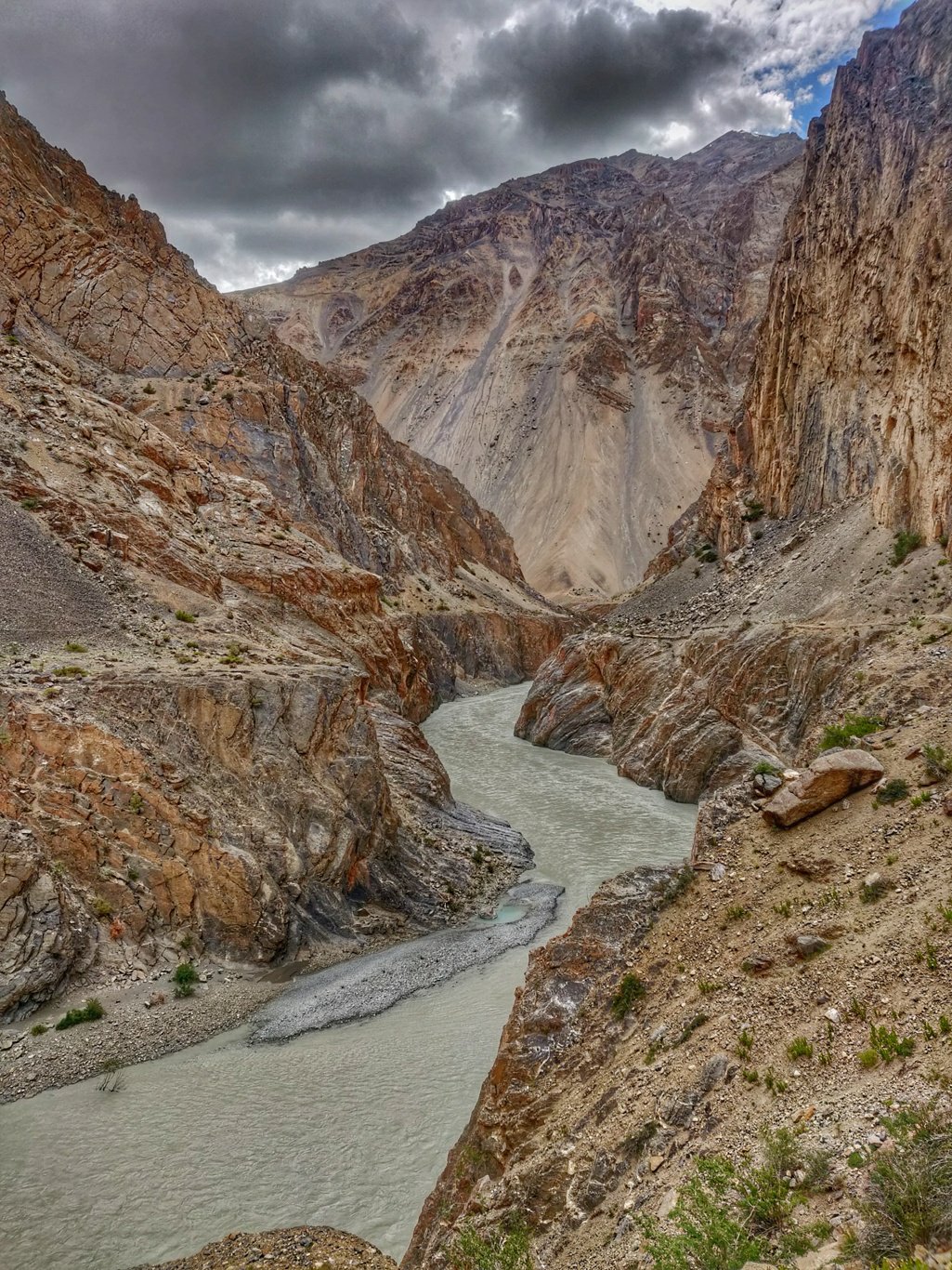 Further upstream the trail alongside a vertical rock had been destroyed and is being reinforced by a group of Nepali workers. Last year one head to climb up steeply above the valley to circumvent this section. Now rocks and concrete had been put beneath to create a permanent way.
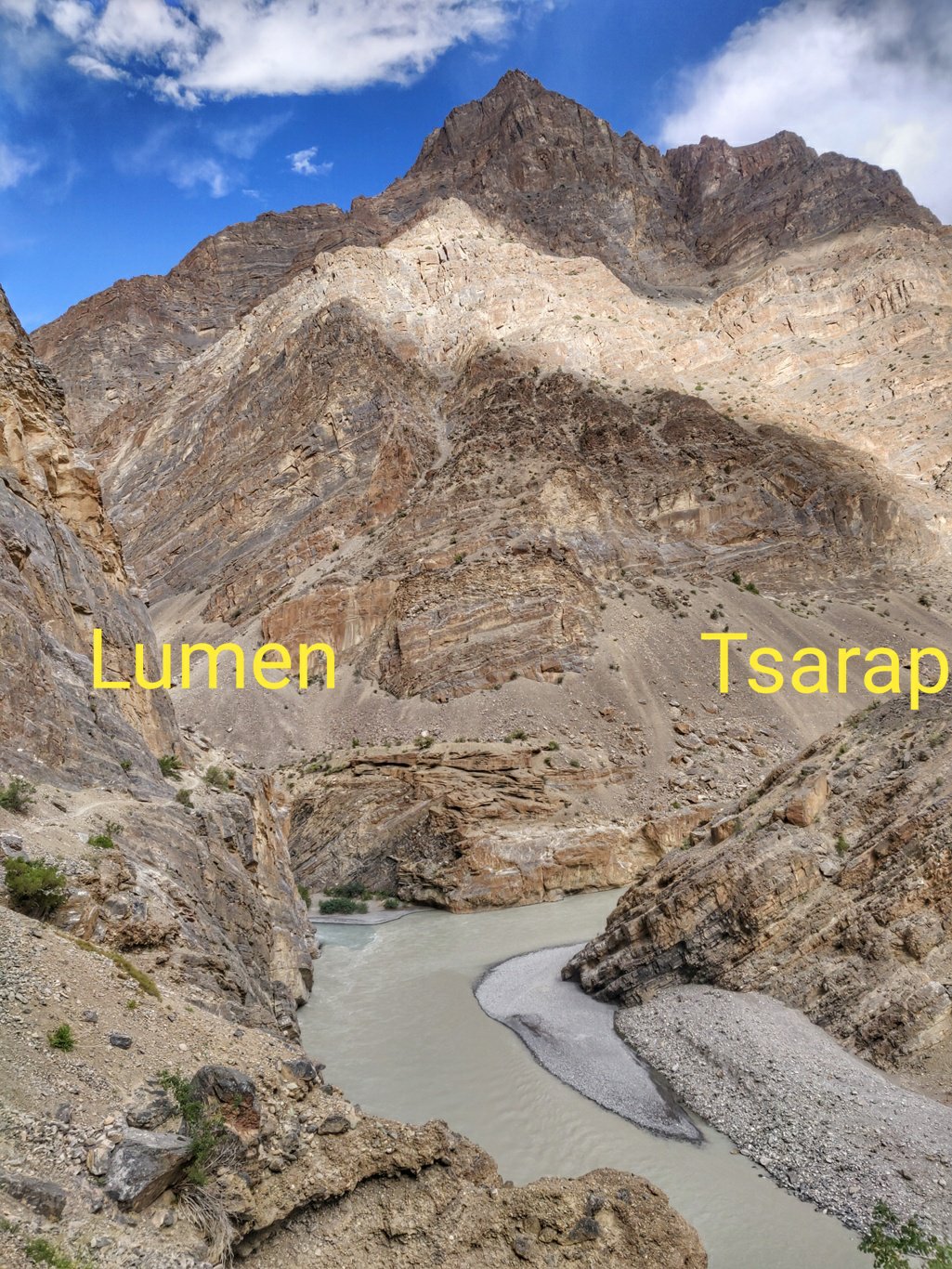
 A bit further we meet the confluence of the Tsarap and Lumen rivers. The old Tsarap path crossed a bridge here and continued straight into the valley. Both however have been destroyed. Now one needs to turn left and hike upstream the Lumen and climb across the Niala Conste La and Gotunte La passes before heading back into the Tsarap river valley.
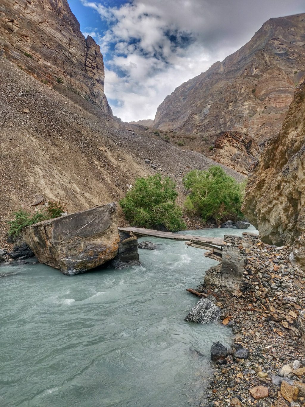
 A few kilometres upstream the Lumen one crosses a small bridge and continues on the right side of the stream. There is a trail going straight on the left also but it ll eventually lead to a dead-end at a land slide.
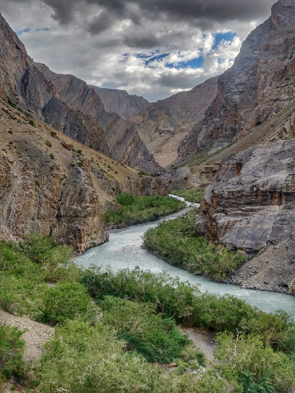
 The Lumen valley slowly opens up towards Tantak gompa (uninhabited) and small green trees grow near the stream. The Lumen is much clearer than the muddy Tsarap which drains a much longer traject.
 One meets a second bridge where you turn right into a side valley climbing up to the Niala Konste La. Being 5pm already and having walked non stop since 6am I decided to settle down for the day and shoot a short educational video on food and cooking as a minimalist alpine hiker.
 I set up a small campsite stage, take out all my food ration, make a small cooking fire, set up the camera and shoot a nice 5min video explaining how to manage food over several days while packing minimally.
 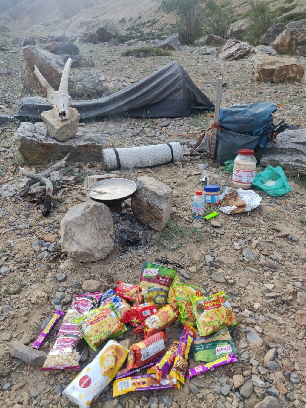 This is the third one in a series of alpine style video series after earlier ones on minimalist packing and night shelter. Planning to shoot a few more on all key aspects including navigation, route planning, etc to create a useful educational section on my blog to kick start other hikers.
Copyright © 2019 UltraJourneys - Supported by dreams
