For the Alpine Field Bootcamp I generated a few high resolution topographic maps for the 4 states of the Western…

For the Alpine Field Bootcamp I generated a few high resolution topographic maps for the 4 states of the Western…
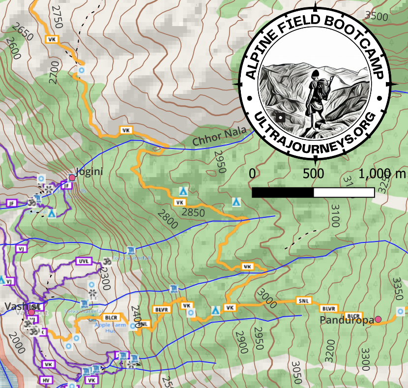
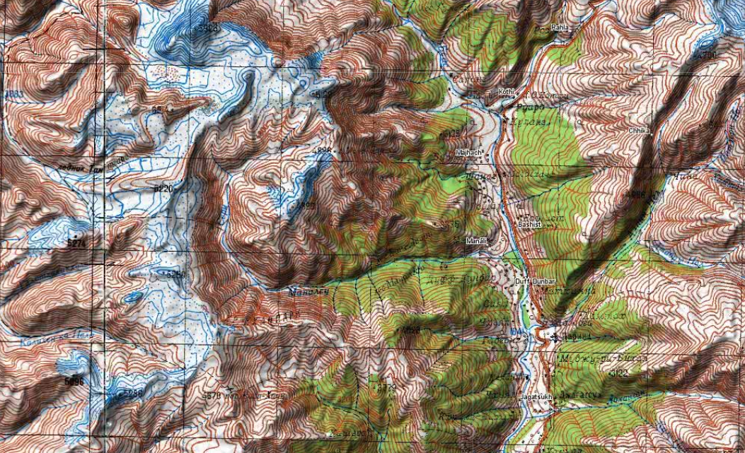
Click below to download a high resolution A3 sized 1:25K scale topographic map of the Manali region showing all hiking…
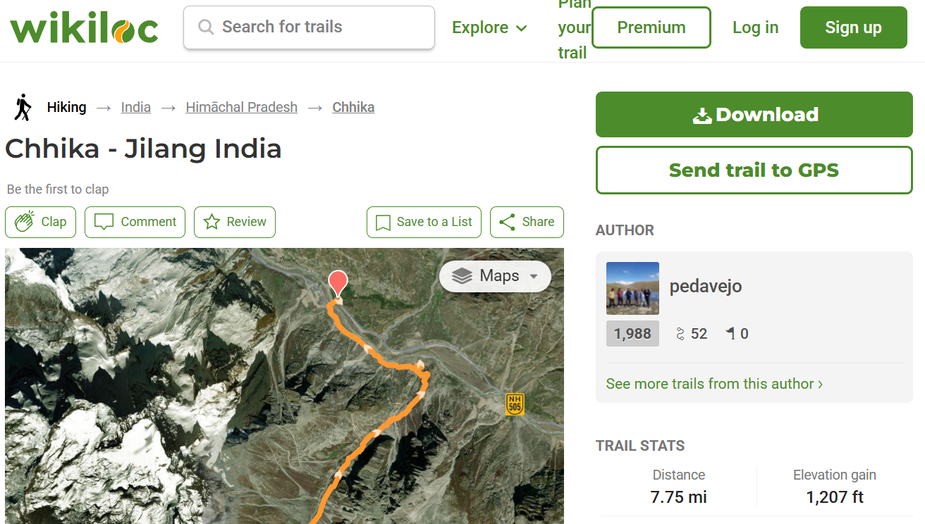
Introduction Traditionally the outdoor community shared popular hiking trails through a number of well known websites (WikiLoc, Ramblr, AllTrails, Strava…)…
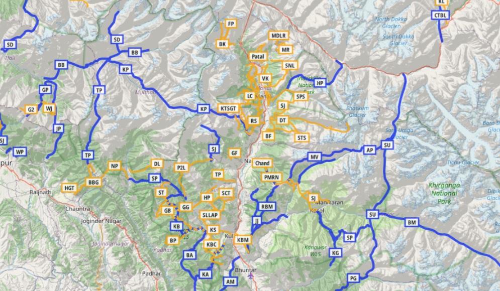
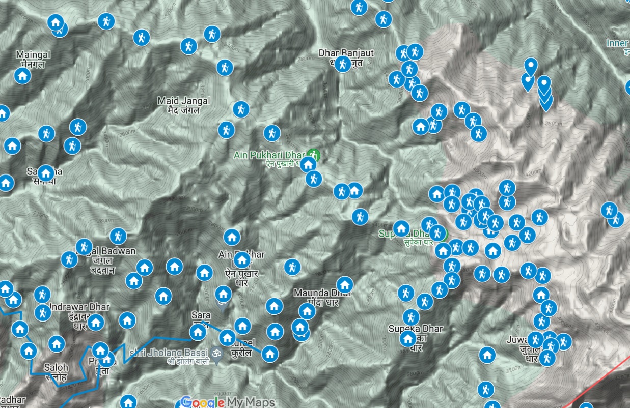
Thousands of Himalayan hiking trails have been accurately mapped in Open Street Maps for the benefit of the independent hiking…
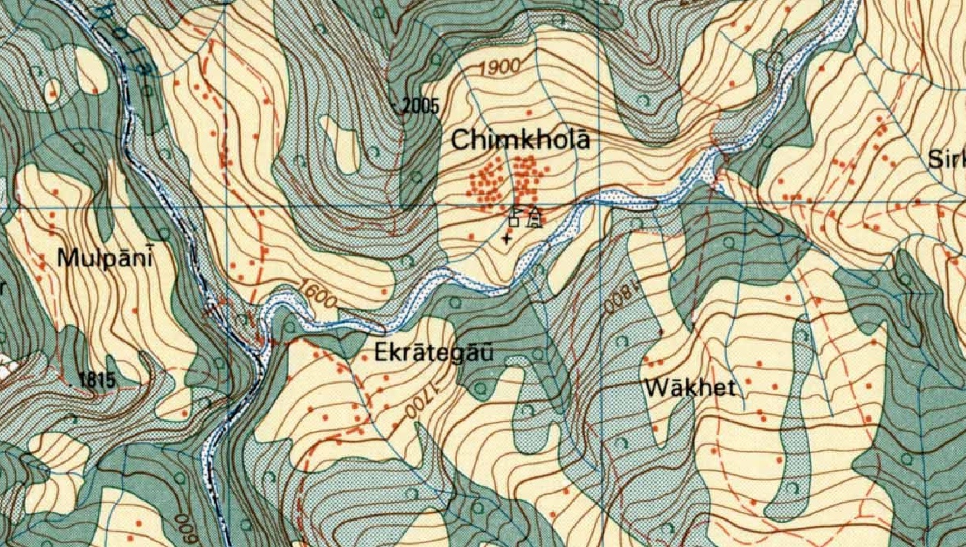
During the cold war the Soviet military secretly mapped the entire world using detailed topographic maps. Although the focus was…
While assisting Jeremy Bige on planning a route through Nepal I stumbled upon detailed 1:50K/1:25K topo map sheets for Nepal over…
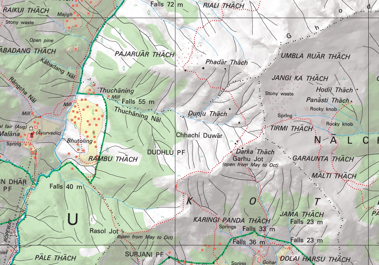
Introduction No doubt the most detailed topographic maps of the Western Indian Himalayas are published by the Survey of India.…
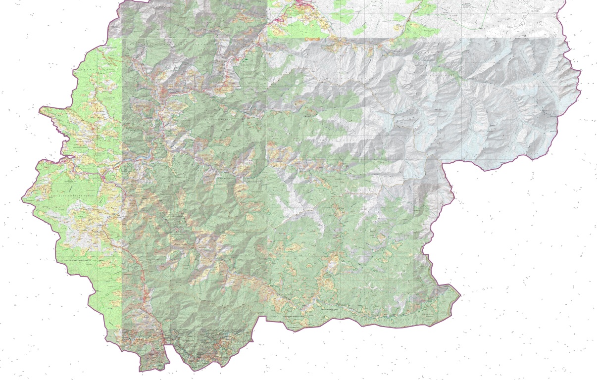
The Western Indian Himalayas consist of 4 states (Himachal, Ladakh, Uttarakhand, Jammu & Kashmir) and 40 districts: Find here high resolution maps for each district which can be used for planning your Himalayan traverses. These maps contain a wealth of terrain details for the outdoor community:
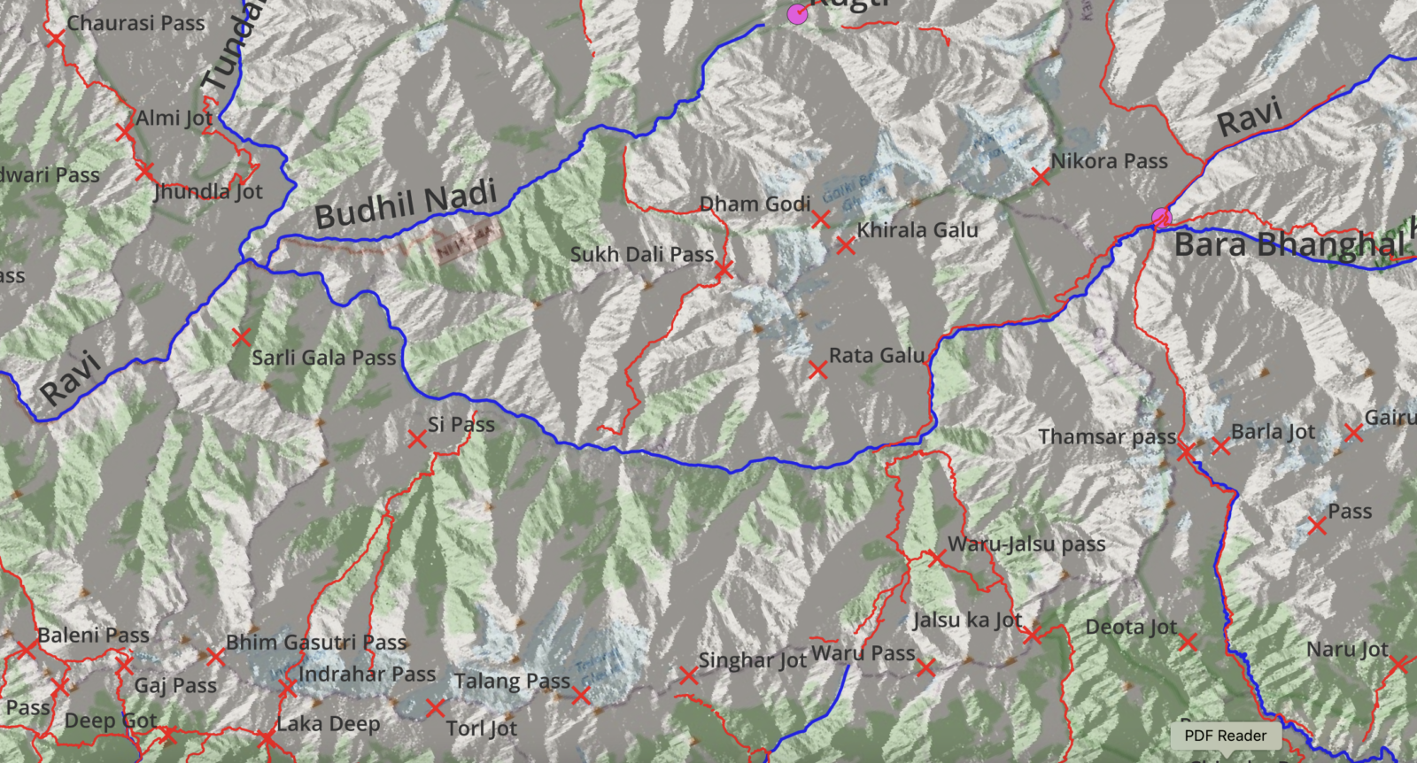
Below maps are blueprints for potential future Himalayan exploration. A humongous effort went into identifying unexplored trails and settlements using…
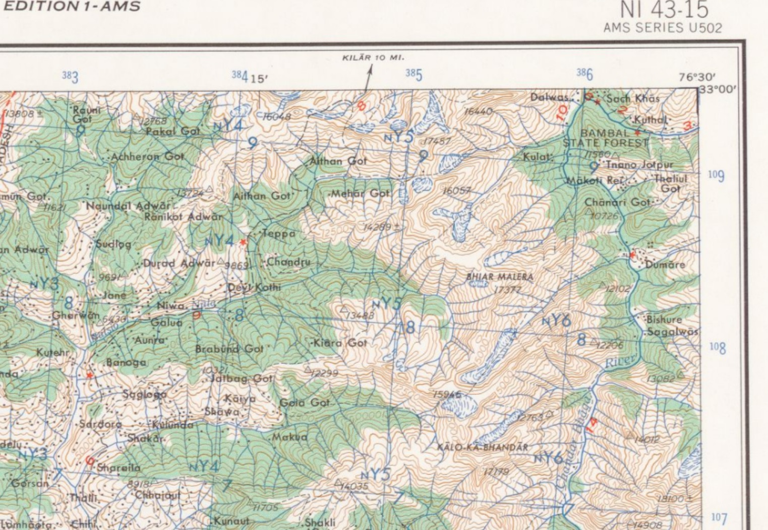
The US Army Map Service (AMS) was the military cartographic agency of the United States Department of Defense from 1941…