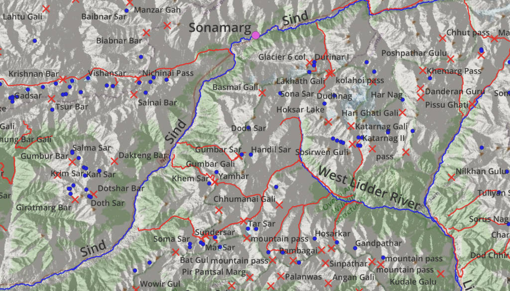
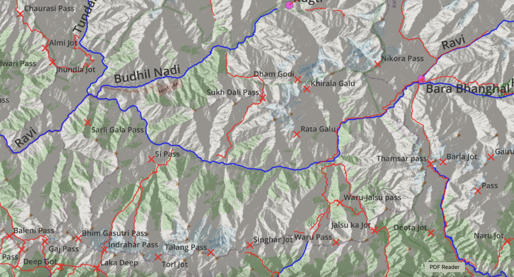
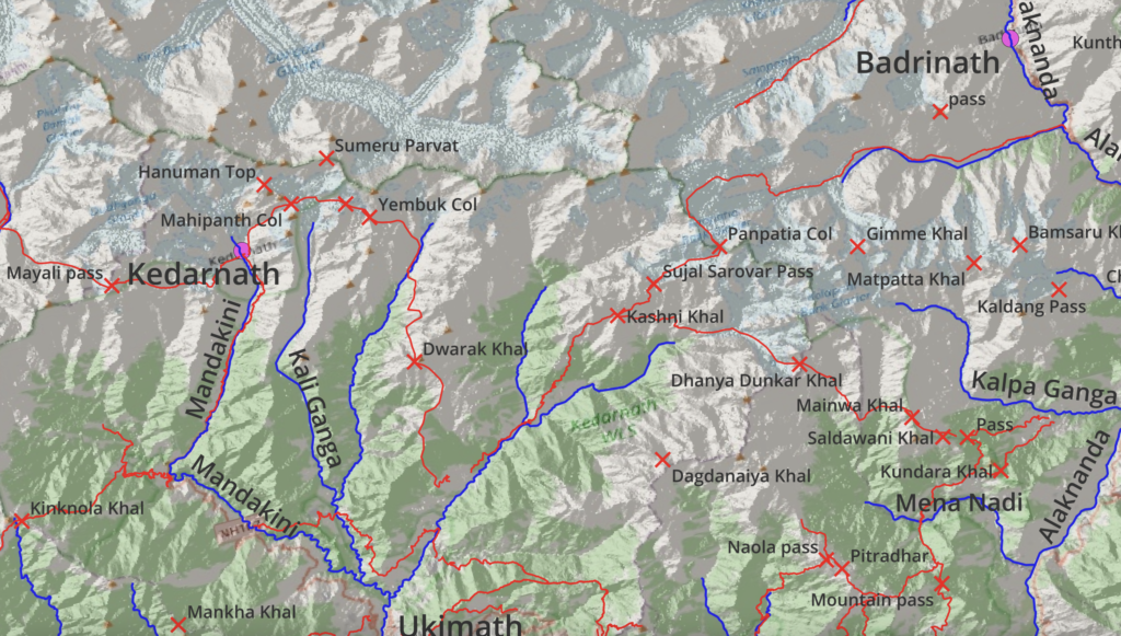
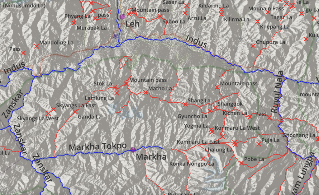
For the Alpine Field Bootcamp I generated a few high resolution topographic maps for the 4 states of the Western Indian Himalayas 1:500K scale which show the geography (major rivers), thousands of mountain passes and hundreds of hiking routes on shaded topo maps. The maps can be printed on A3/A2 size to give an excellent overview of each state to plan individual and long distance Himalayan traverses.
Himachal
Uttarakhand
Ladakh
J&K