In this chapter we will explore the powerful geometry processing capabilities of QGIS on various Himalayan features. These capabilities will…

In this chapter we will explore the powerful geometry processing capabilities of QGIS on various Himalayan features. These capabilities will…
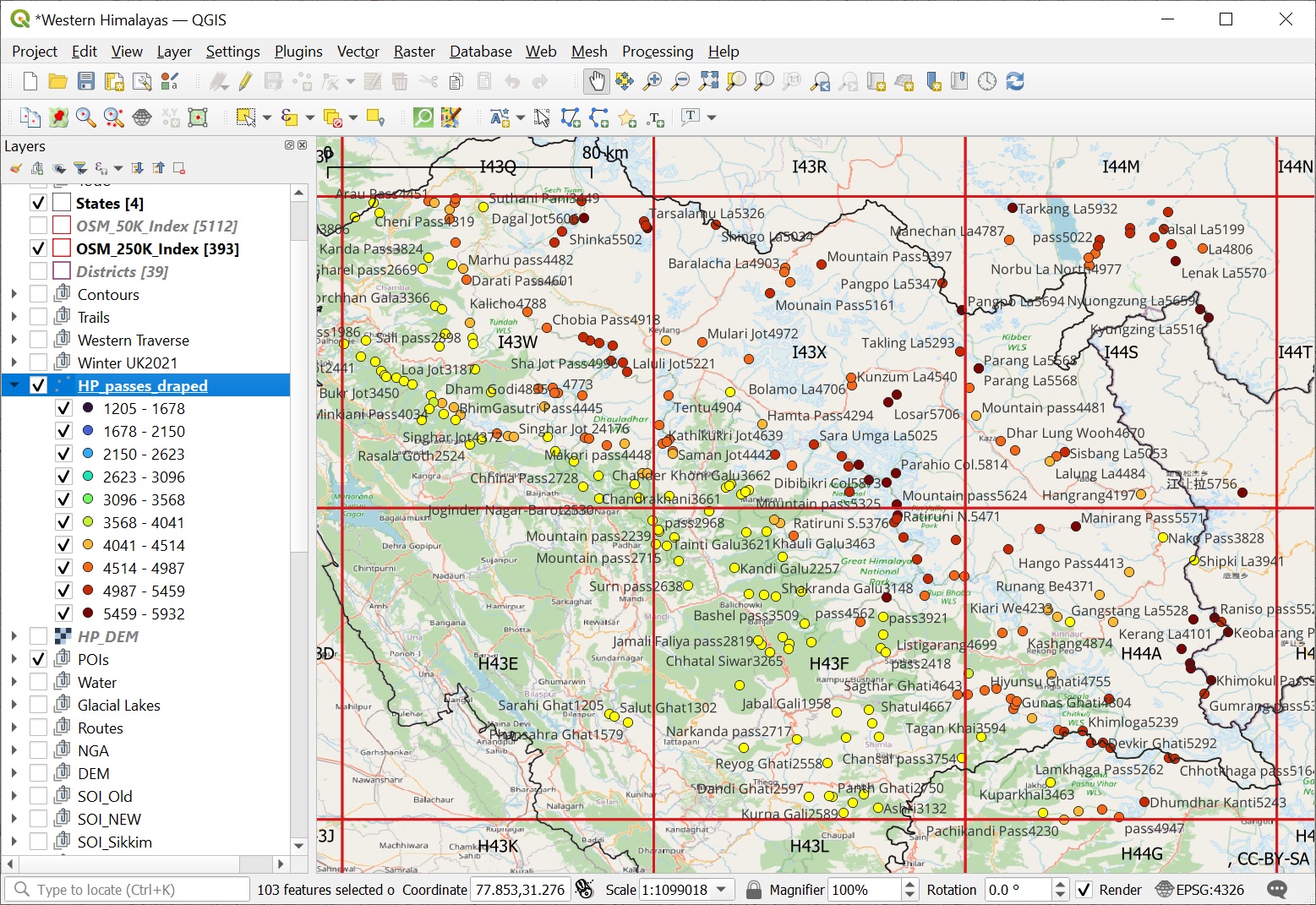
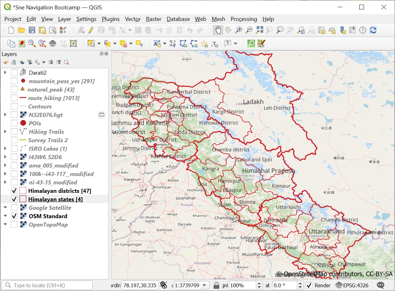
We are now able to visualize all mountain peaks (1958), passes (1393) and alpine lakes (1900) located in the Western…
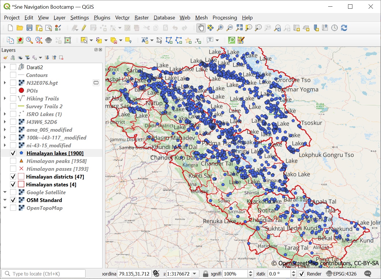
In this module we will query and visualize Alpine lakes from Open Street Maps in QGIS. Lakes are defined in…
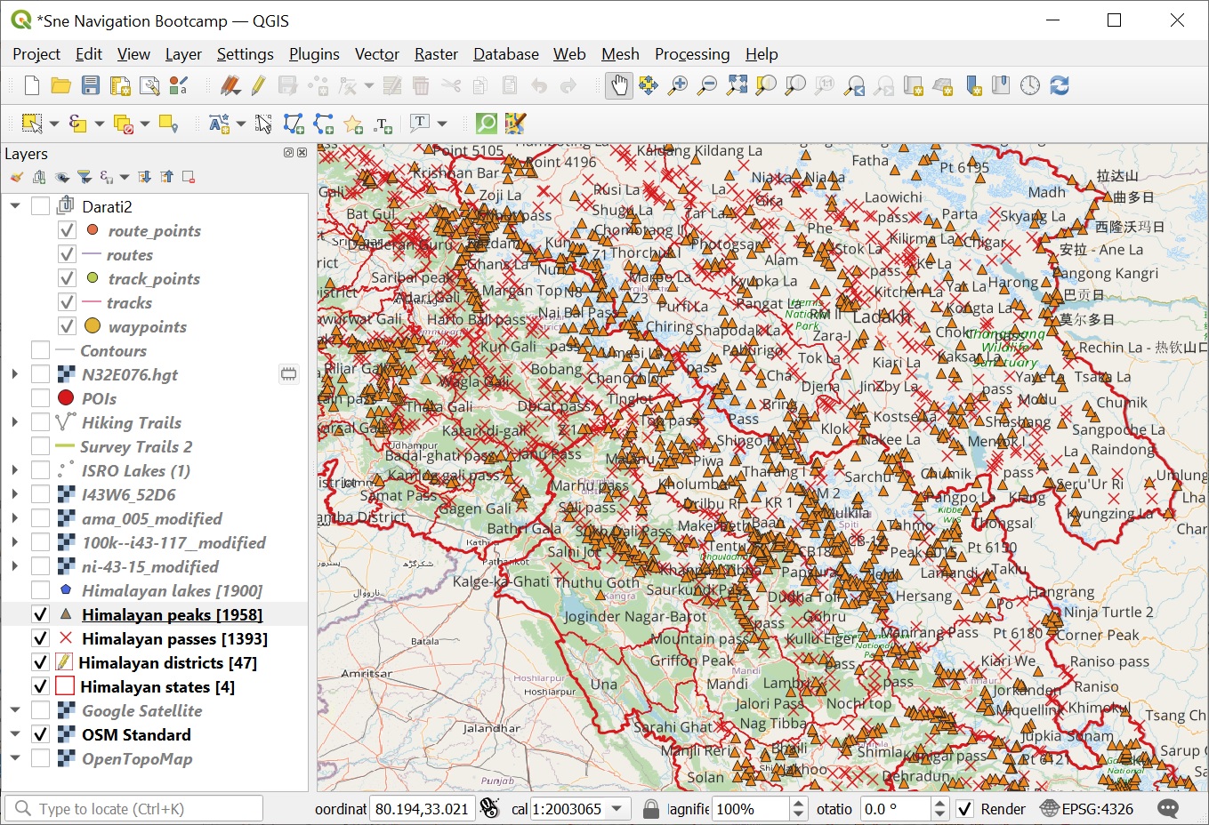
In this module we will retrieve all Himalayan passes and peaks from Open Street Maps and visualize them appropriately in…
QGIS is a powerful GIS software. In Chapter 6 we learned how to import and visualize geo-tagged alpine lakes, query…
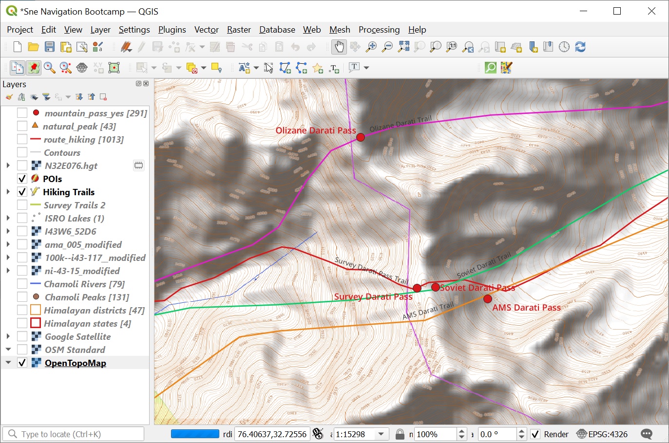
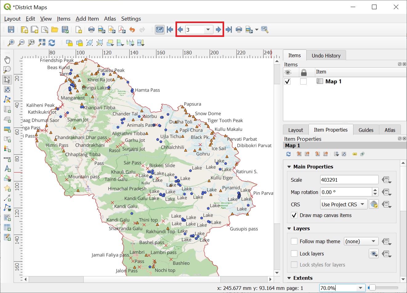
In this final module we ll be cross referencing the digitized features of Survey, Olizane, Soviet and US AMS maps…
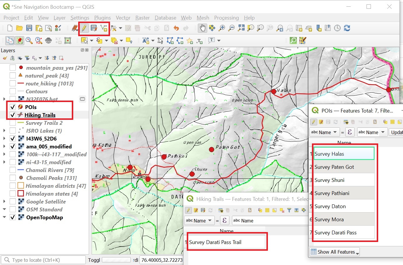
In this module we will digitize the Darati pass trail and surrounding settlements on the 4 geo-referenced maps (Survey, Olizane,…
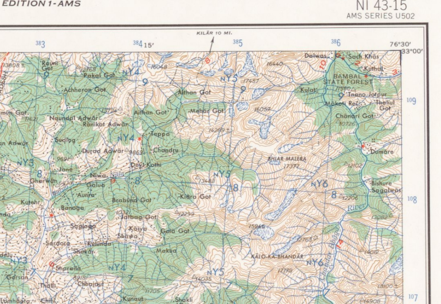
The US Army Map Service (AMS) was the military cartographic agency of the United States Department of Defense from 1941…
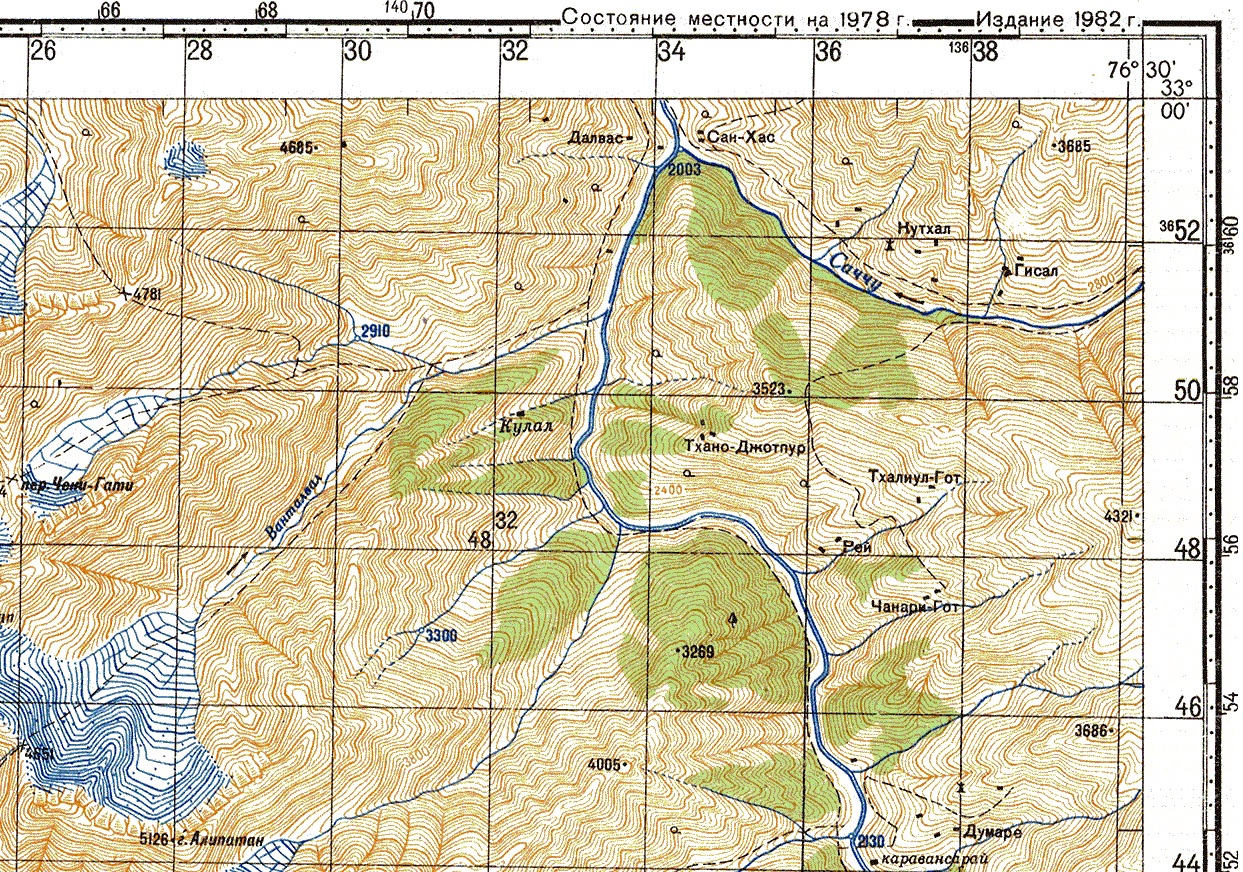
During the cold war the Soviet military secretly mapped the entire world using detailed topographic maps: Although focus was on…
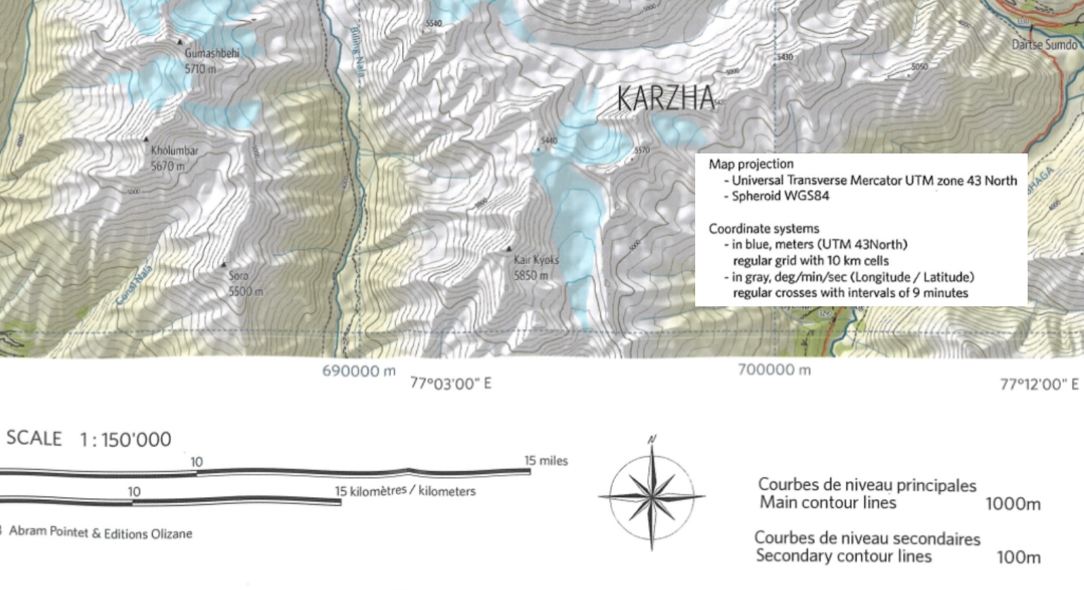
Welcome to “Chapter 8 – Map Sources” of the Alpine Hiking Bootcamp. In this chapter we’ll compare topographic maps of…