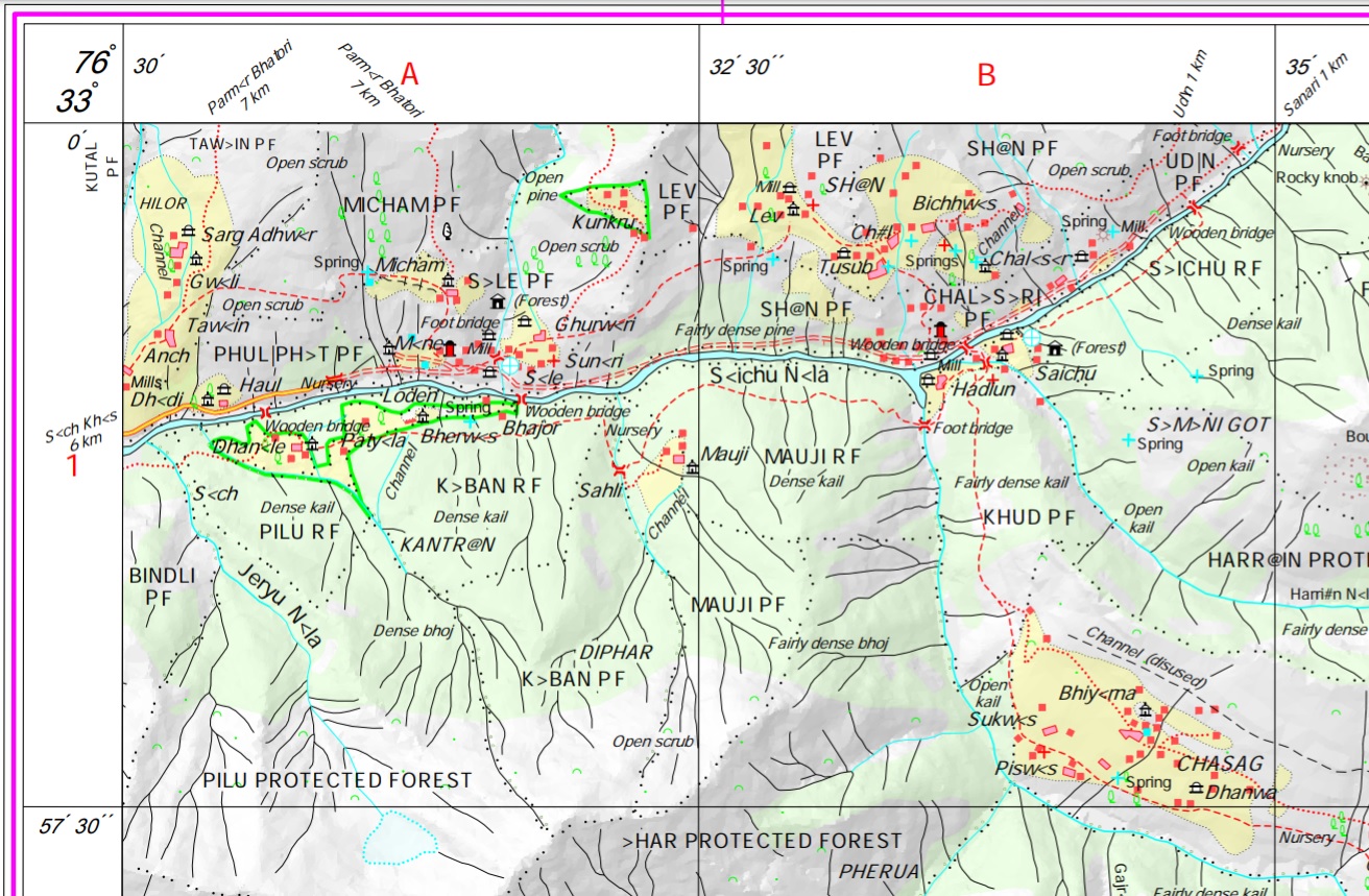
The most detailed and freely available maps of the Himalayas are those published by the Survey of India (SOI). Initially…

The most detailed and freely available maps of the Himalayas are those published by the Survey of India (SOI). Initially…
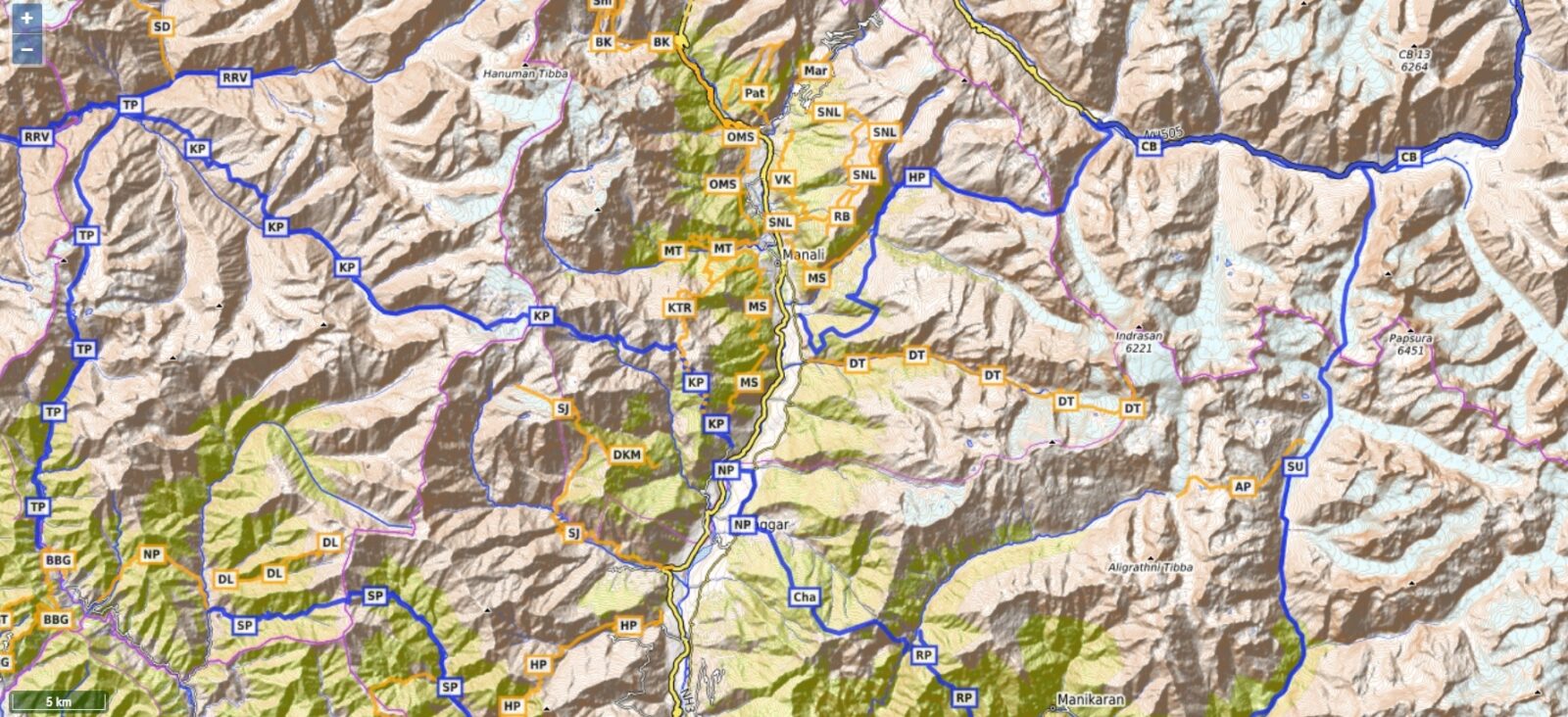
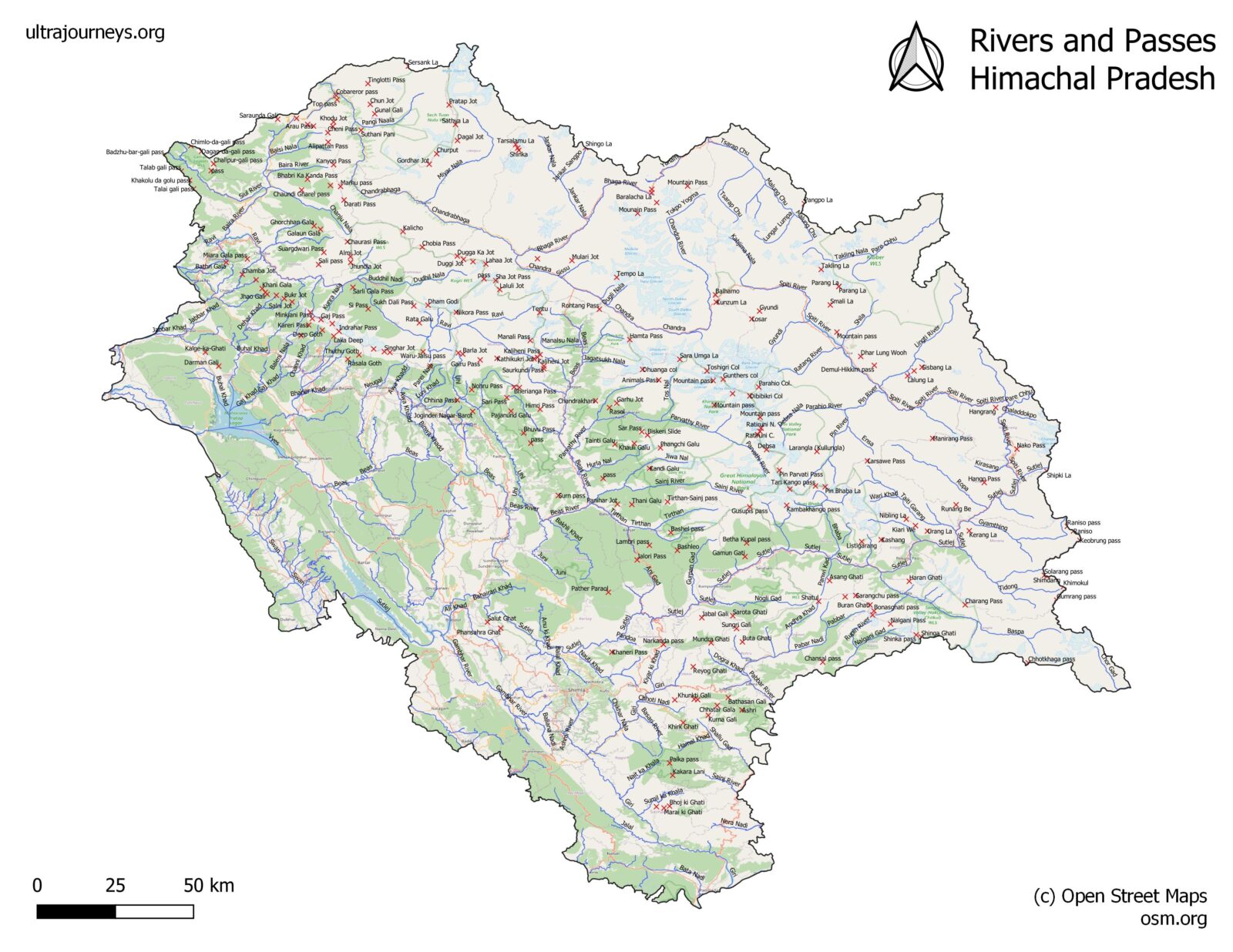
There are many Open Street Map viewers, both web based (planning on laptop) and mobile (offline navigation in mountains) based.…
In this third module we’ll get familiar with one of the most commonly used maps for hiking – Open Street…
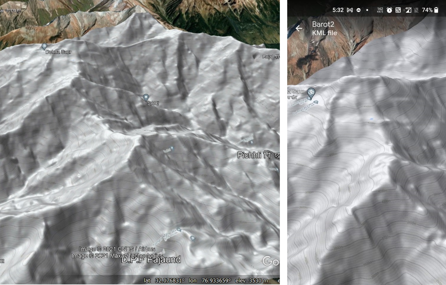
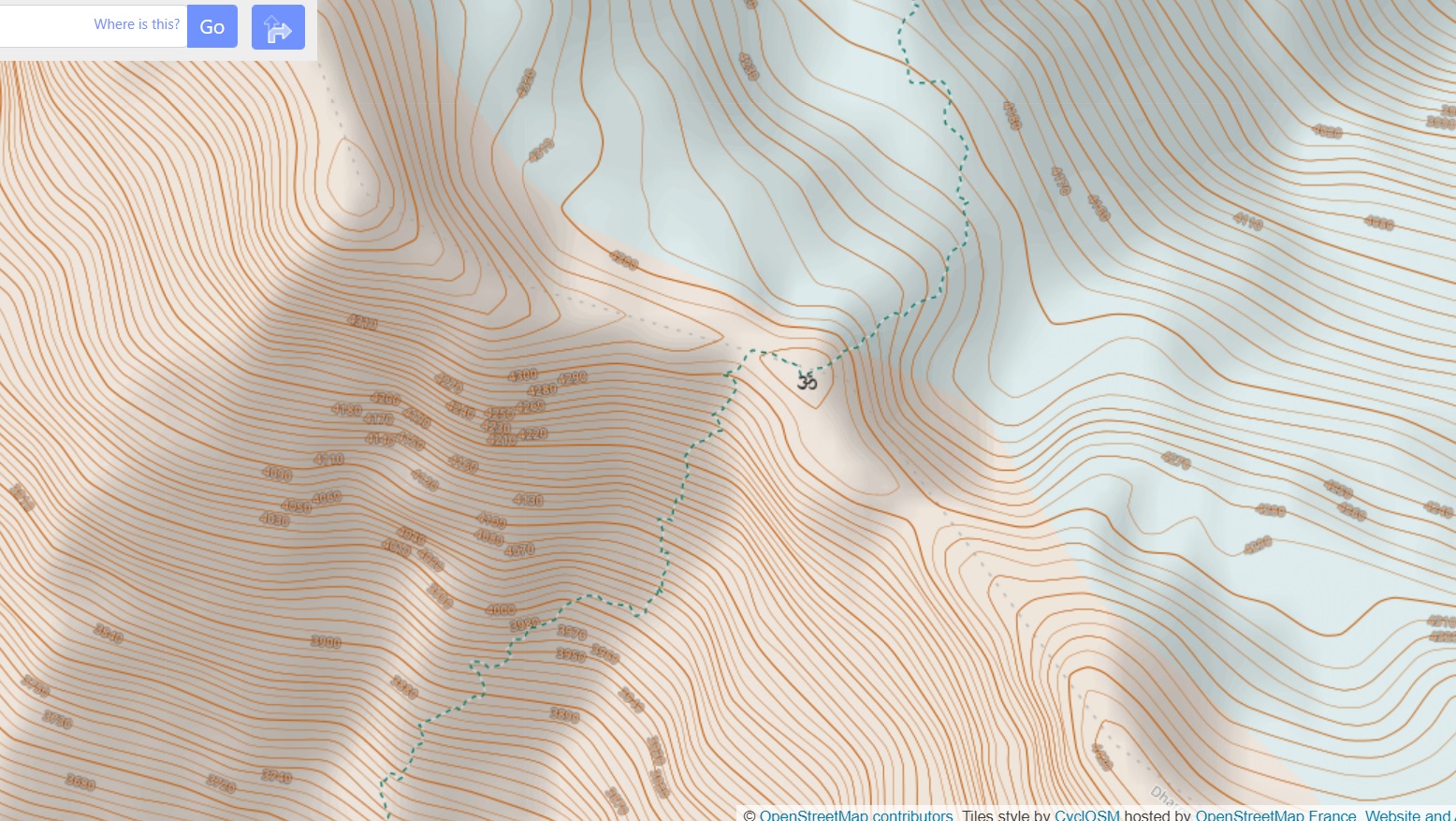
In this second module let’s get familiar with one of the most important concepts: topography. Topographic maps use contour lines…
In this first module we will familiarize ourselves with the geography of the Indian Western Himalayas spanning the states of…