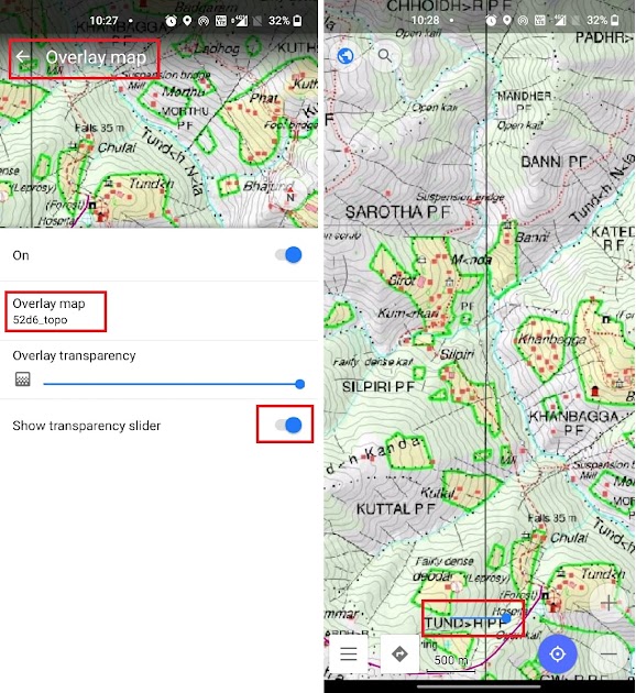
In this module we will export the Survey map with contours in maptiles format which can be used for offline…

In this module we will export the Survey map with contours in maptiles format which can be used for offline…

A Digital Elevation Model (DEM) is a representation of the bare ground (bare earth) topographic surface of the Earth excluding trees, buildings,…
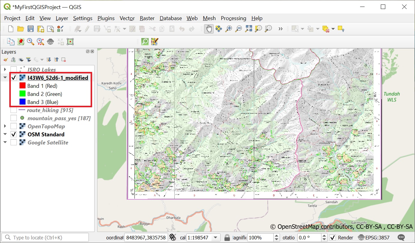
Geo-referencing is the process of taking a digital image and adding geographic information to it so that GIS software can…
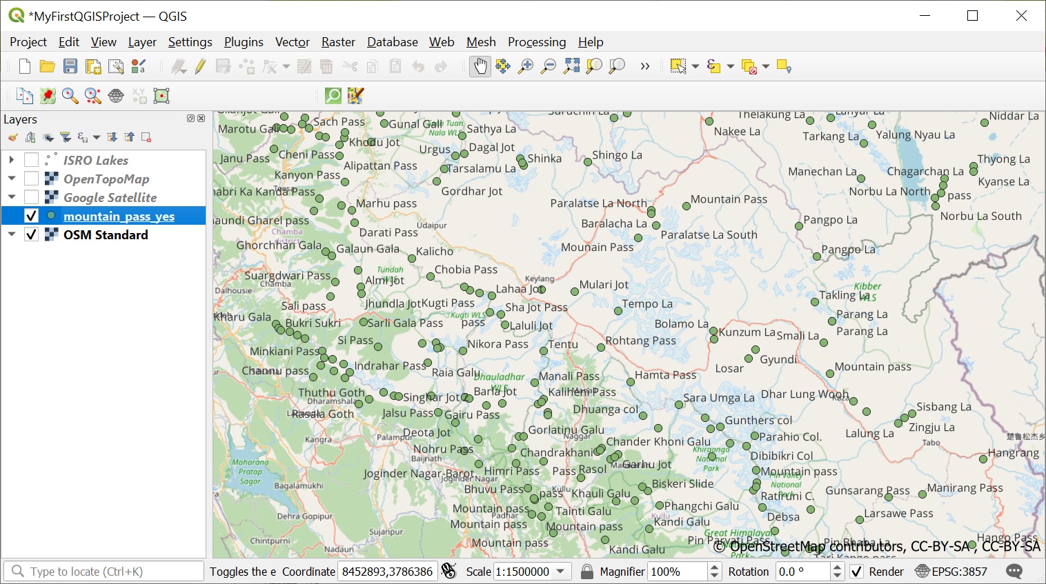
One of the most extensive public datasets of geographic data is Open Street Maps. Let’s play around with some interesting…
Now that we have QGIS up and running let’s start looking at some publicly available data sets for the Western…
Congrats on completing the first 5 chapters of the Alpine Style bootcamp: Chapter 1 – Maps of the HimalayasChapter 2…
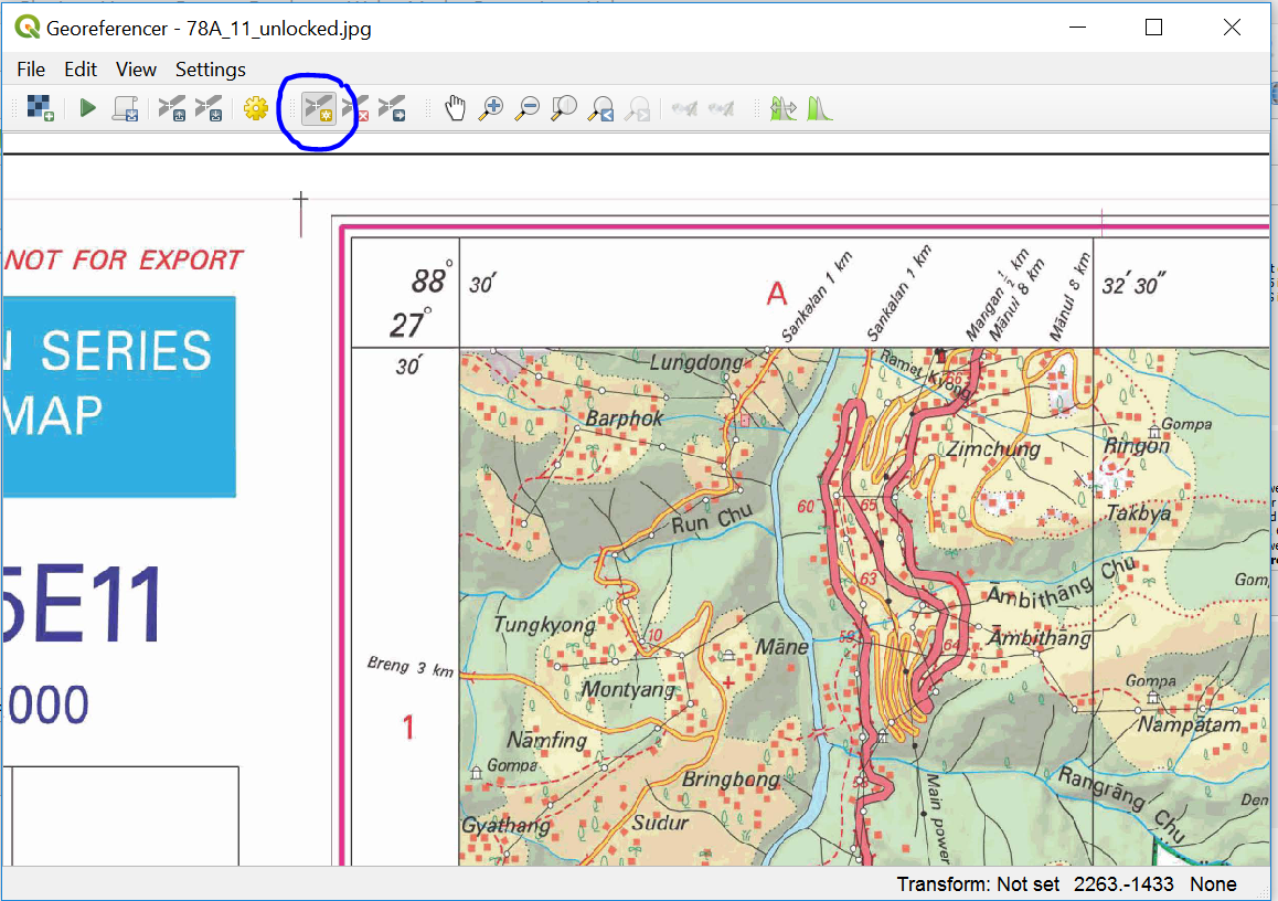
Survey of India (SOI) maps provide freely downloadable 1:50K topographic maps through its portal soinakshe.uk.gov.in/ (Note: Map download limited to…