Students will master the art of alpine style hiking in the Himalayas through 16 hands-on modules covering all key aspects…

Students will master the art of alpine style hiking in the Himalayas through 16 hands-on modules covering all key aspects…
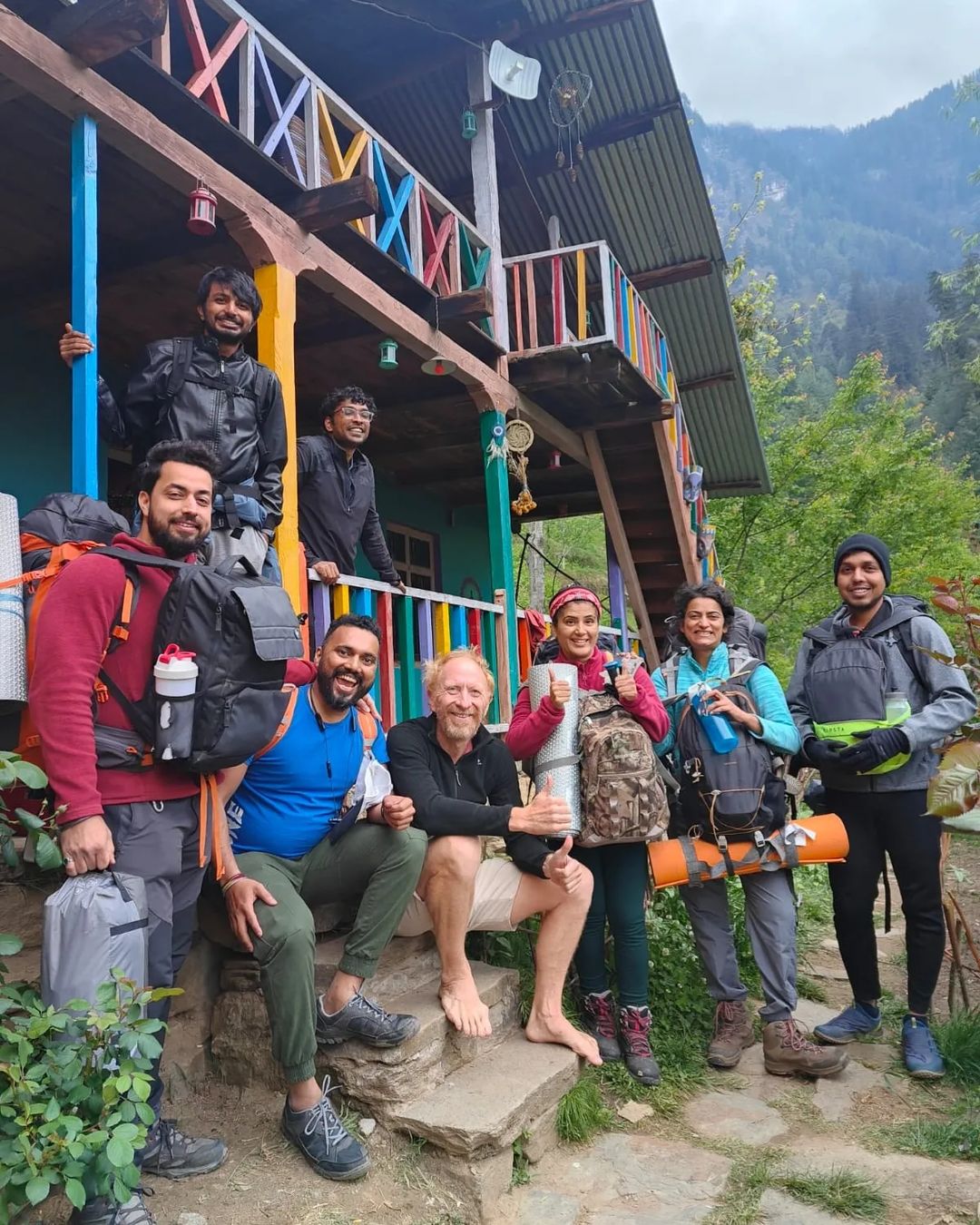
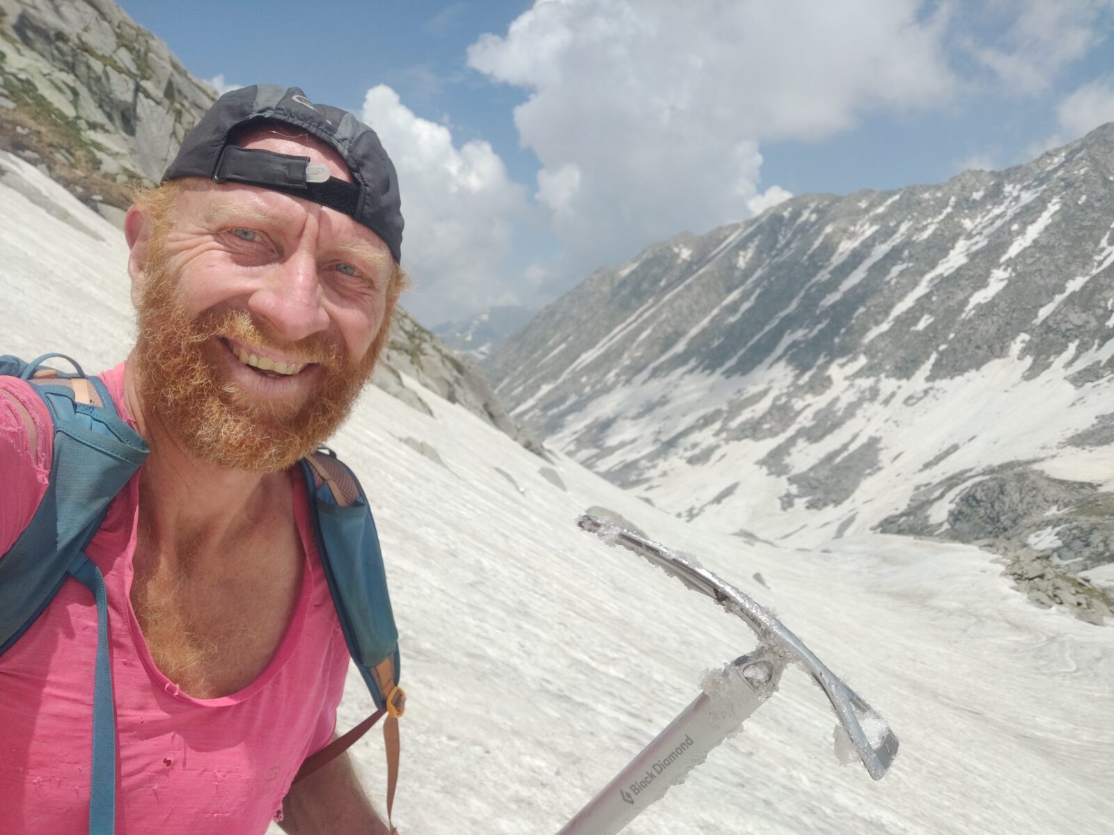
My name is Peter Van Geit, born in Belgium, settled in India in 1998. I worked 20 years as a…
This online course consolidates my extensive alpine hiking experience exploring more than 300 high passes across the Western Himalayas. 50+…
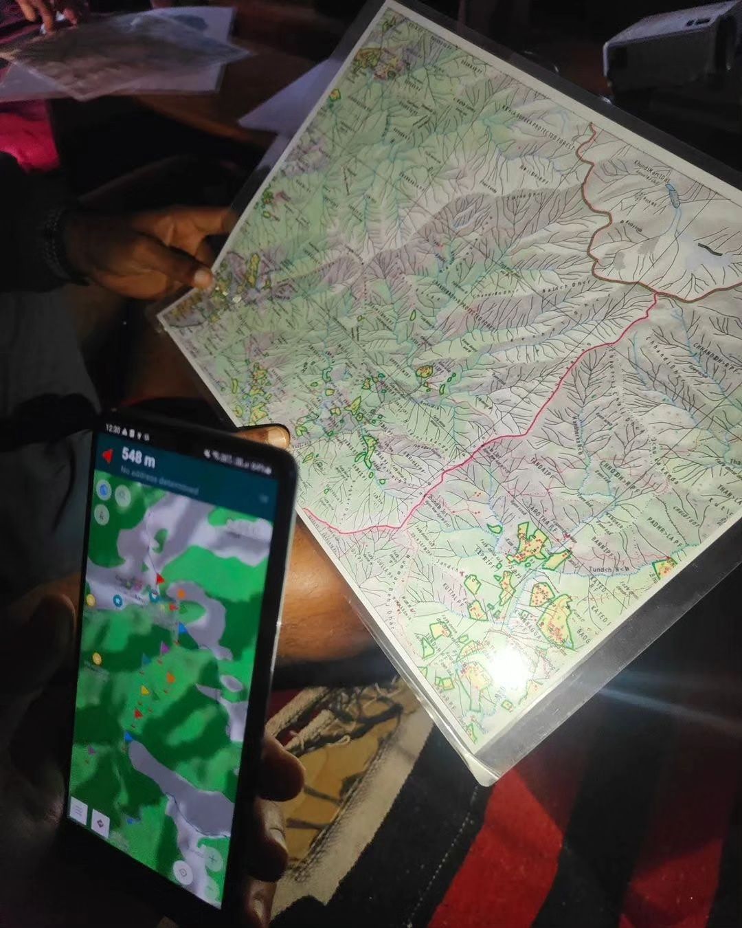
In this module we will correlate Hiking Routes downloaded from Open Street Maps with various Himalayan terrains and features. We…
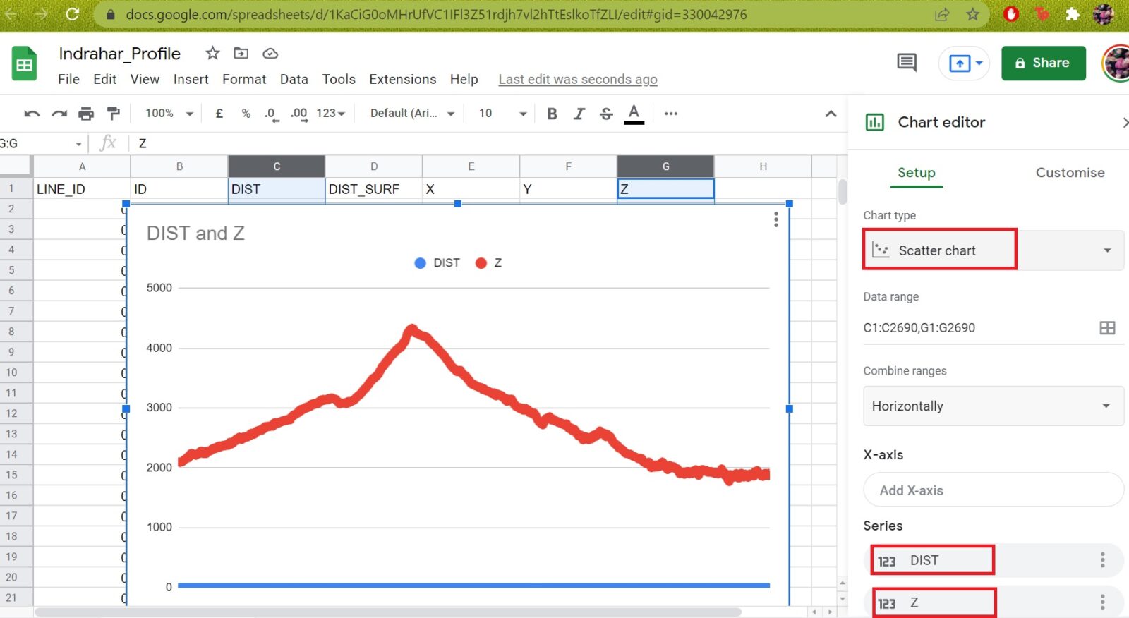
In this module we will play around with various metrics for Hiking Routes downloaded from Open Street Maps. Distance, route…
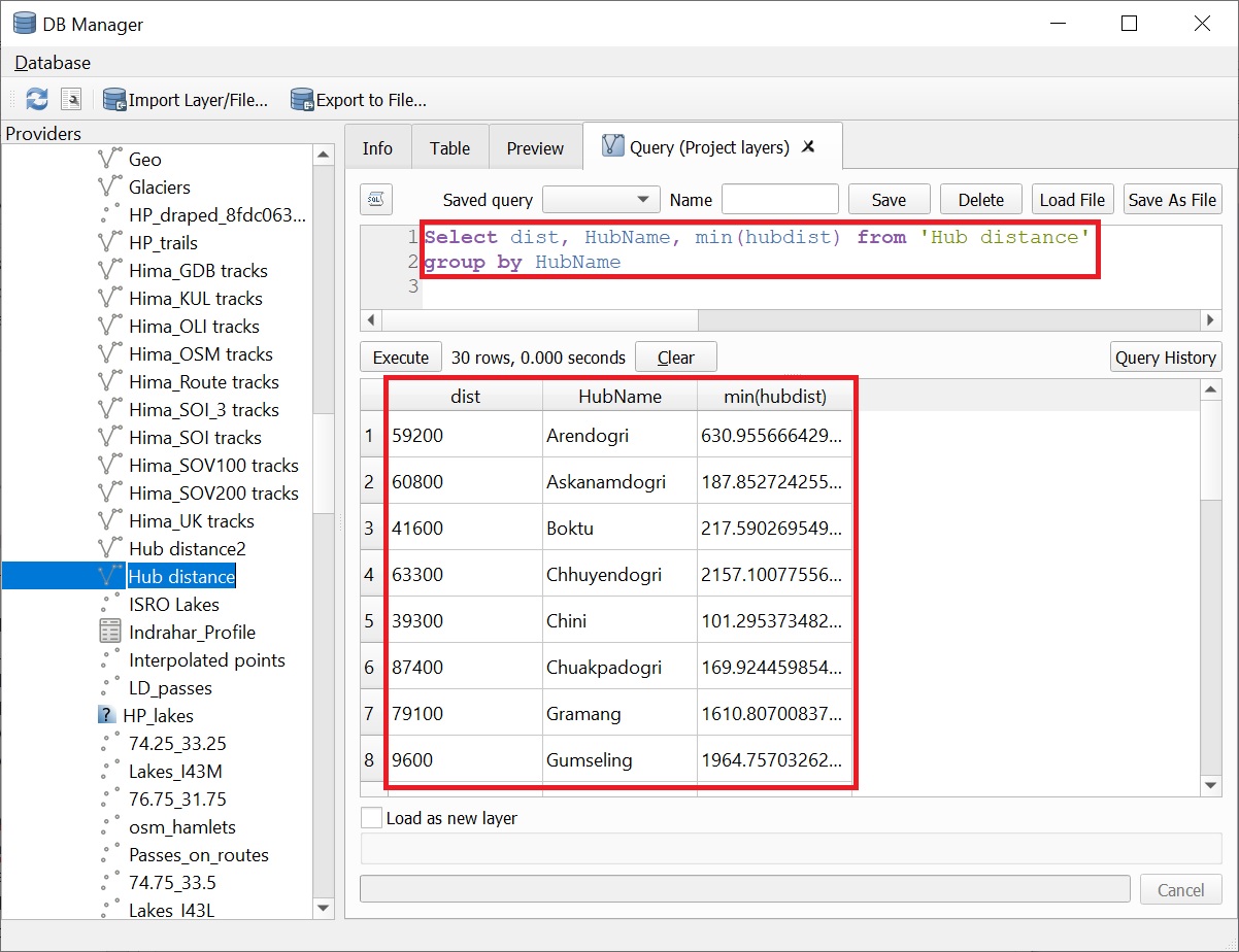
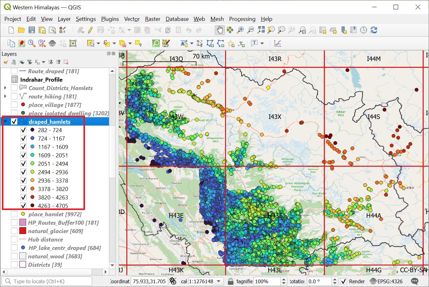
Let’s take a closer on the distribution / proximity of settlements with respect to forest regions. Download “natural” = “wood”…
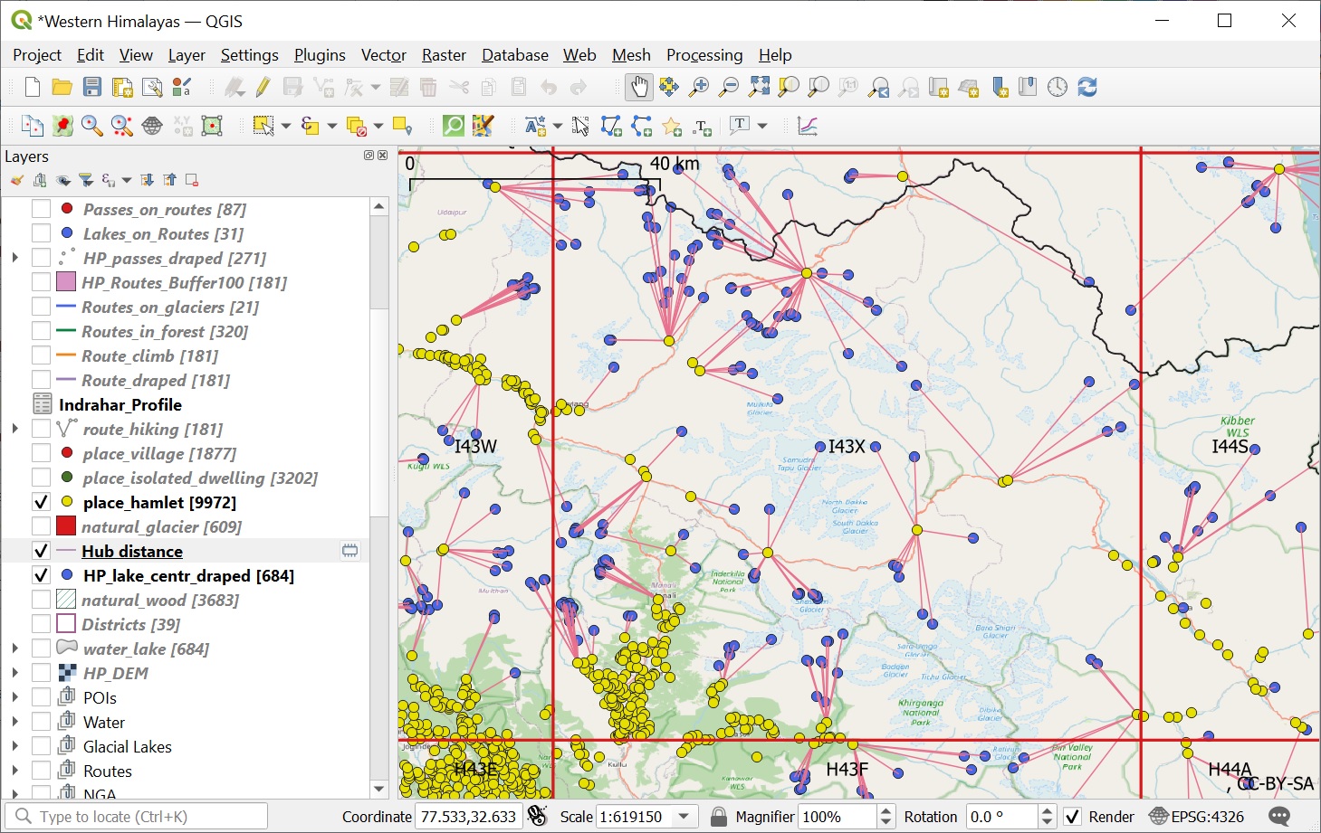
In this module we will download human settlements for the Himachal region from Open Street Maps and play around with…
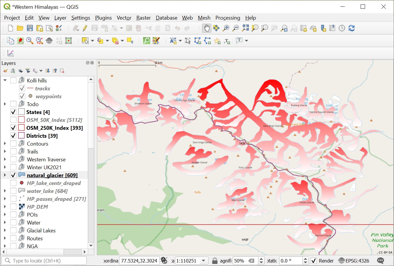
In this module we will play around with visualizations of Himalayan lakes and glaciers downloaded from Open Street Maps. Lakes…
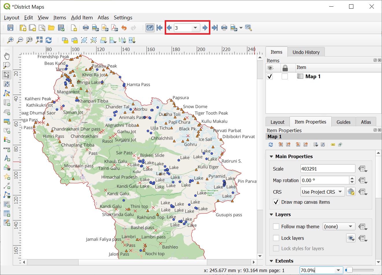
In this chapter we will explore the powerful geometry processing capabilities of QGIS on various Himalayan features. These capabilities will…
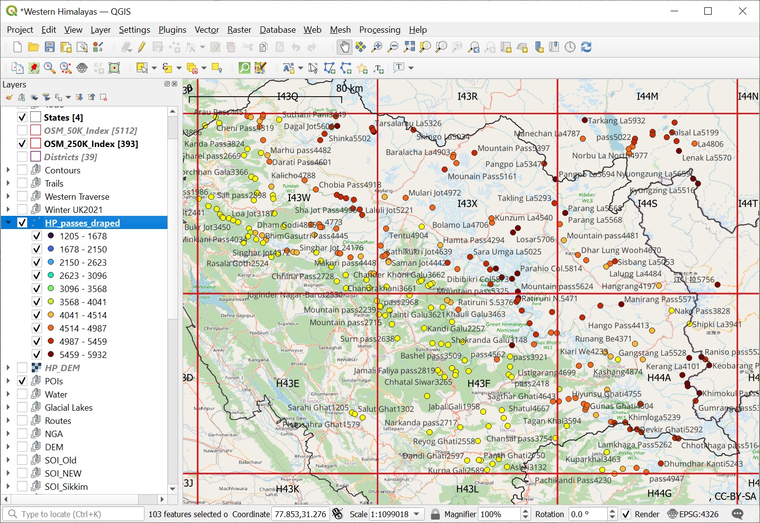
We are now able to visualize all mountain peaks (1958), passes (1393) and alpine lakes (1900) located in the Western…