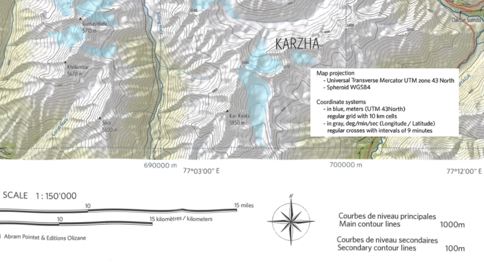
Welcome to “Chapter 8 – Map Sources” of the Alpine Hiking Bootcamp. In this chapter we’ll compare topographic maps of…

Welcome to “Chapter 8 – Map Sources” of the Alpine Hiking Bootcamp. In this chapter we’ll compare topographic maps of…
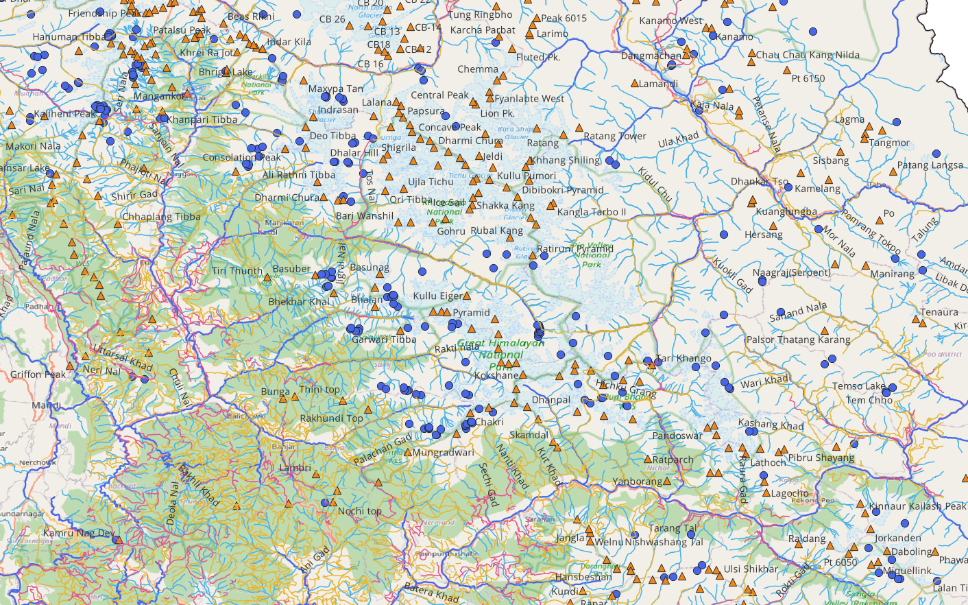
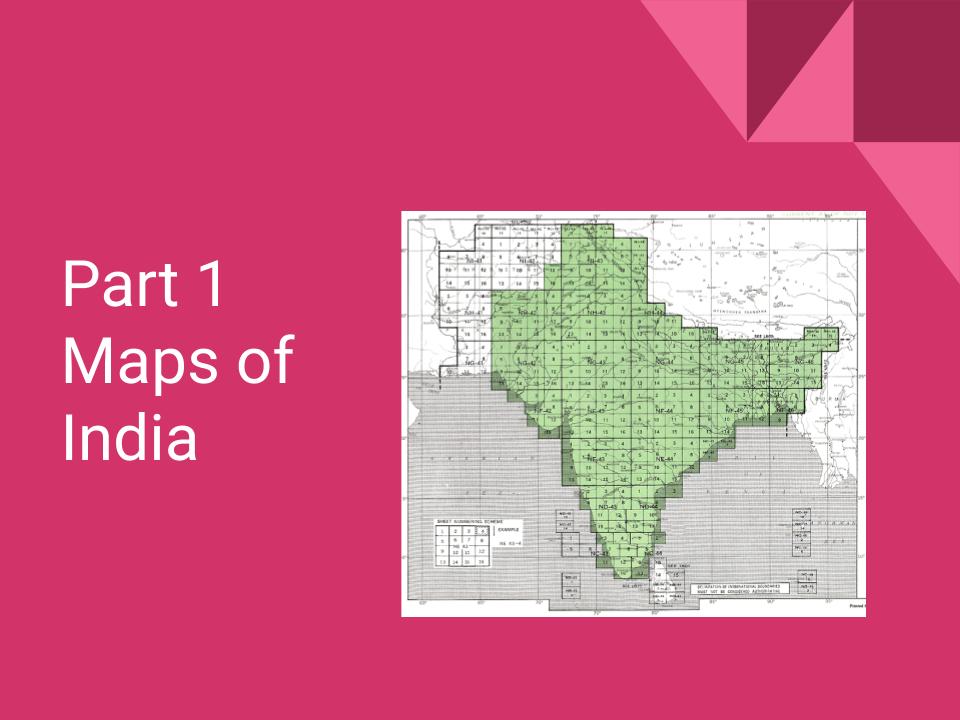
Find below high resolution GIS maps of Western Indian Himalaya states including Himachal, Uttarakhand, Ladakh and Jammu & Kashmir. These…
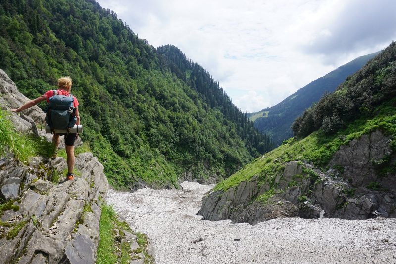
Link to journal During my initial foray into the Indian Western Himalayas in the summer of 2018 I realized the…
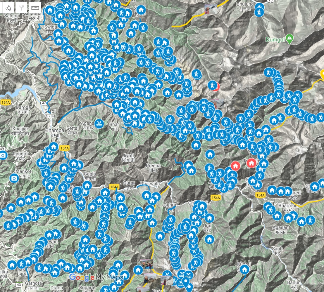
The first major effort to create public hiking maps for the Himalayas was done by Depi Chaudhry who explored the Western Himalayas…
Peter Van Geit had planned spend six months this year fast hiking 5,000km and exploring new passes across the Indian Himalaya.…
Due to heavy snow fall this winter the higher passes (150 I planned, see earlier post) in the Himalayas would…
Loading…
Loading…