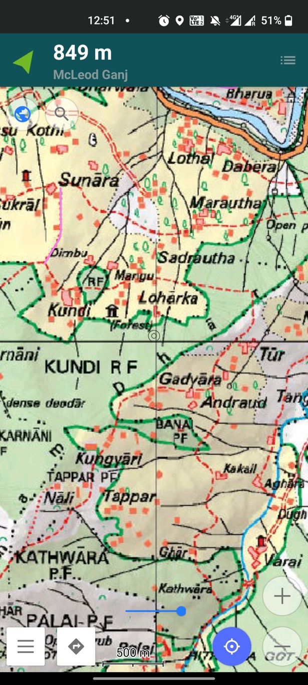
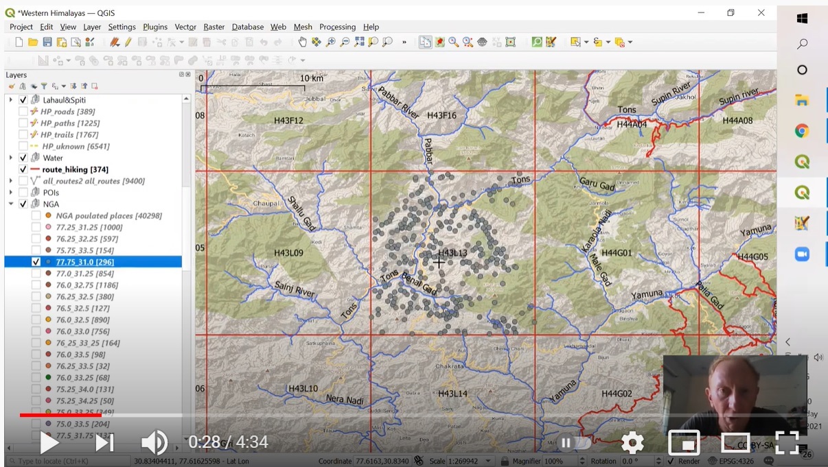
In this tutorial we will demonstrate how to prepare any physical map for mobile navigation use (OSMAnd). Many mobile apps…
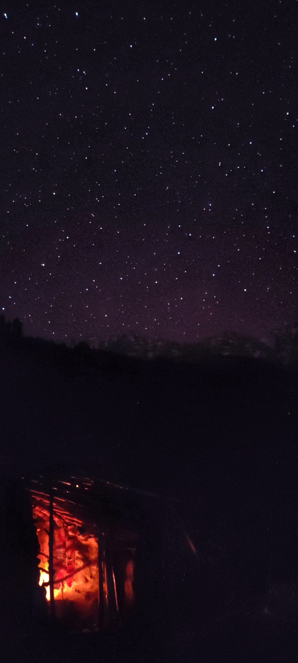
Sleeping inside a spacious deserted rock home besides the warm glow of a fire is a luxury compared to camping…
Next target in my 3 months Trans Himachal exploration was a nice loop mid way inside the Dhauladhar range. Plan…
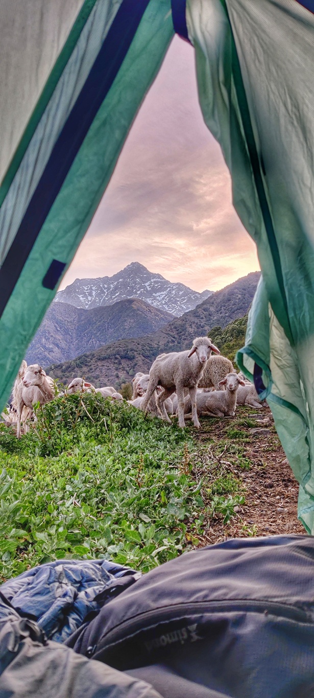
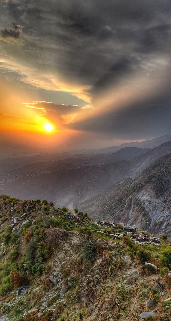
The night was peaceful on the ridgeline to Chamunda Devi high above the twinkling village lights in the Kangra plains…
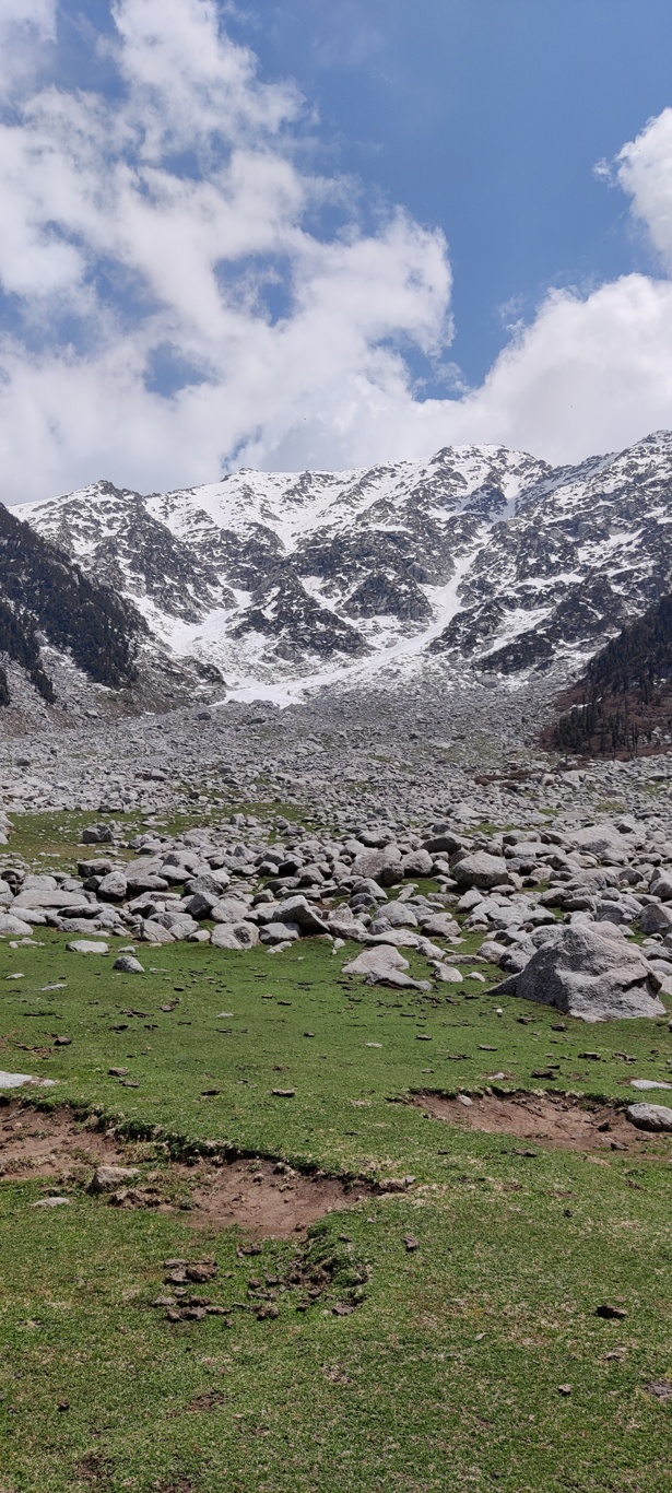
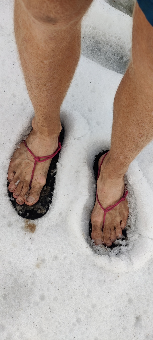
The night was cold at 3100m at the snowline at the base of the Indrahar pass. Had a deep sleep…
After completing my Trans Uttarakhand winter mission 20/21 across 110 lesser known passes across the breadth of this state I…

