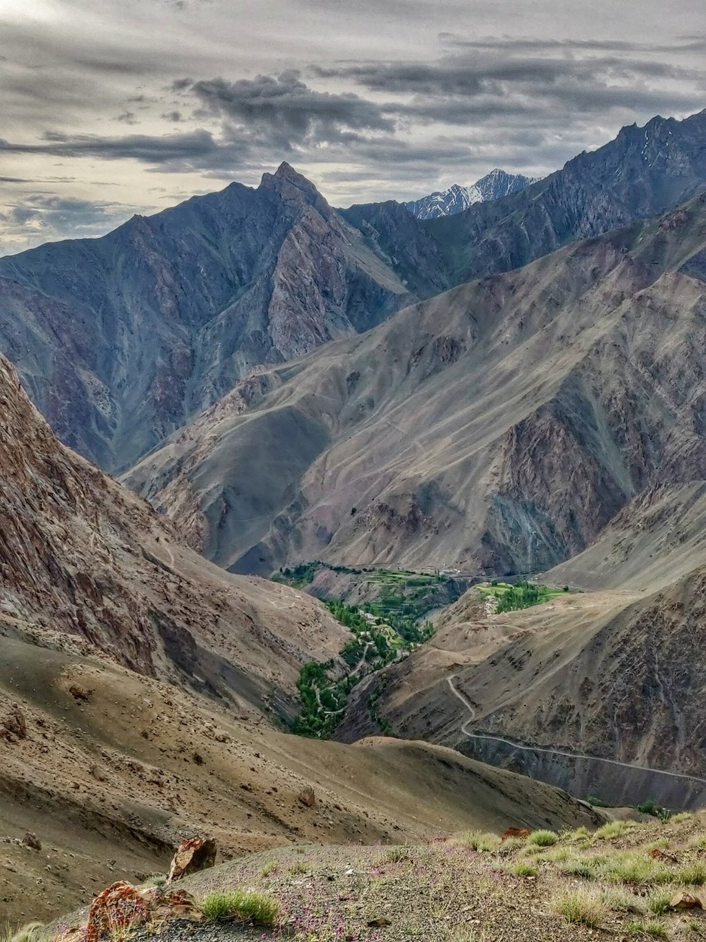
Woke up by the daylight before my 6am alarm in the farmlands of a small hamlet above Sapta. Packed up and was heading for a 500m ascent to the Mangyu La pass at 4130m.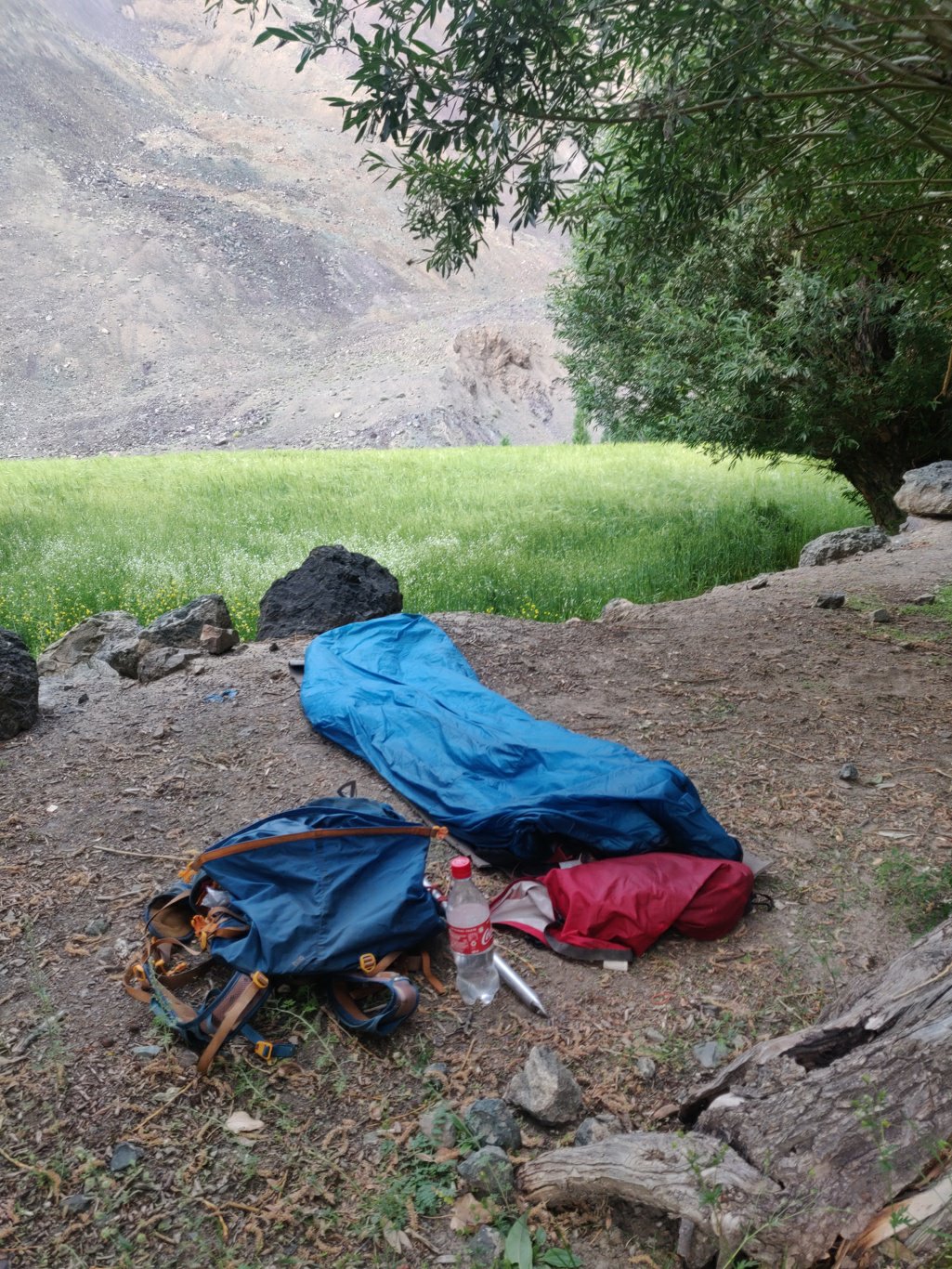 The trail appeared less used and hardly any horse dump was found. Looks like we were finally out of the touristic hiking trails around Leh. From the pass one gets a beautiful birds eye view on the green village of Sapta inside the barren desolate mountains.
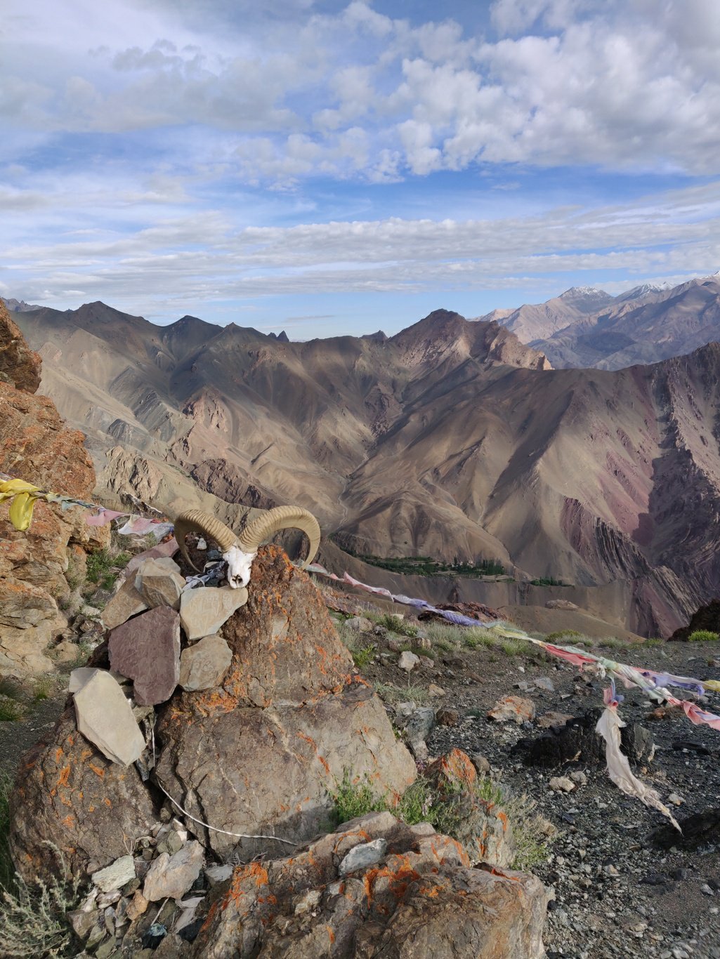
 On the other side of the pass marked by prayer flags opens up an equally beautiful view on the next side valley of the main Indus valley. The trail contours left along the valley slope towards the next pass: the Hipti La at similar height of 4130m.
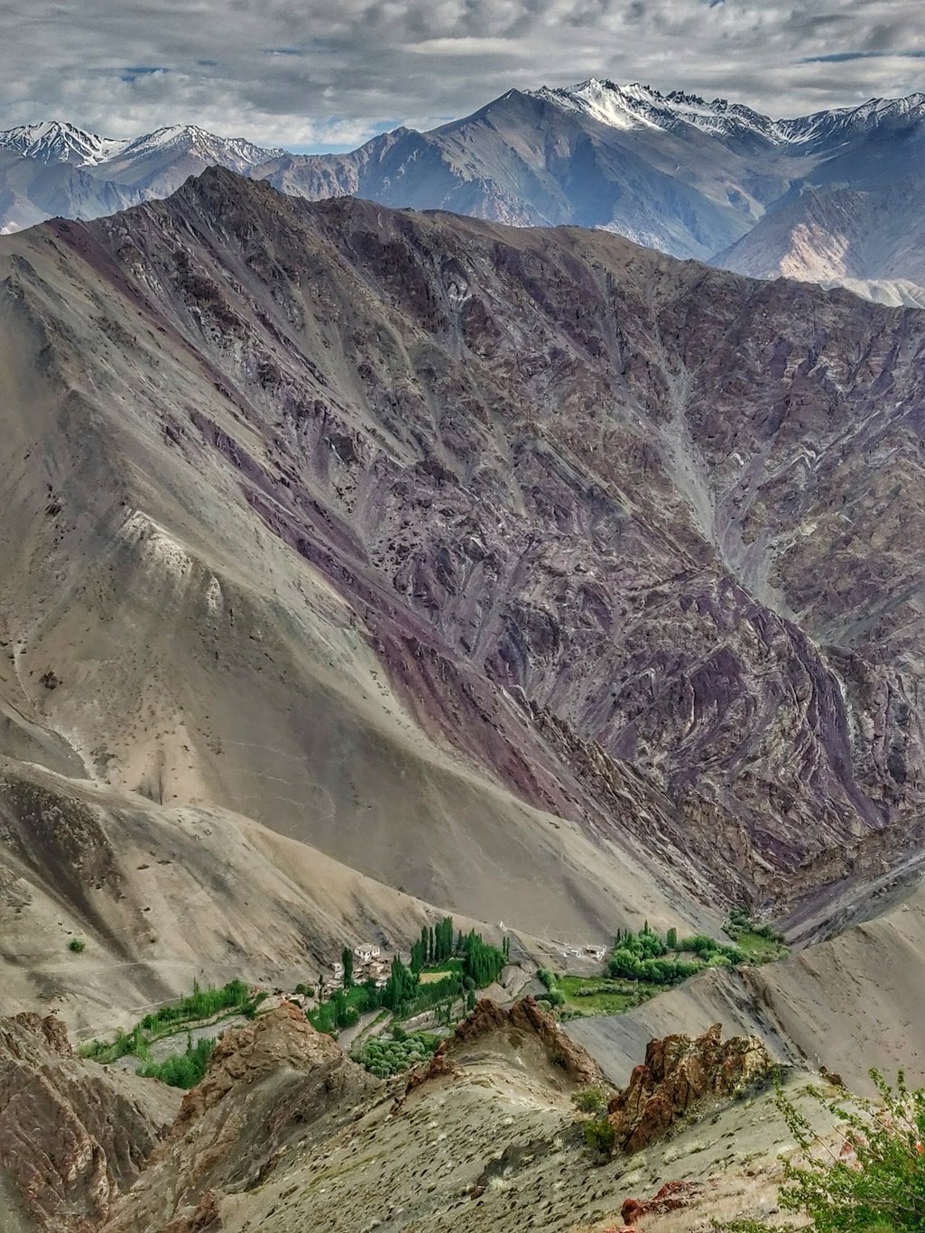
 While walking on this Nepali flat trail one gets stunning views on the valley below. The village of Hipti is a green dot nested on top of a small patch in this vast desolate valley. The Trail contours 180 degrees around the valley to the Hipti La pass.
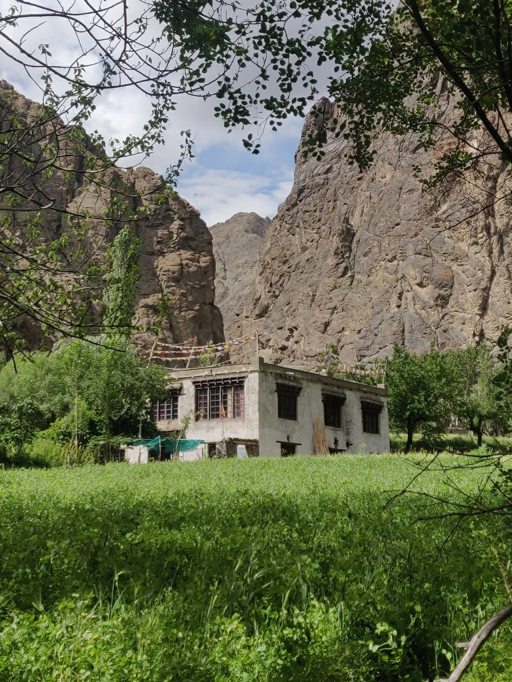
 After Hipti La one drops down 700m into the next valley to the lush green hamlet of Tar enclosed on all sides by high mountains. The stream flows through a narrow gorge towards the Indus valley below. I continued upstream through a long array of green farmlands and forest stretching above Tar.
 After that the valley gradually ascends through a barren brown landscape. Along the small stream I meet a local boy who is a guide to an American person researching Ibex and snow leopard. He kindly offers me food and tea which I gladly accept as I ran out of food. He shows me one type of edible plant which can be eaten if no food is available.
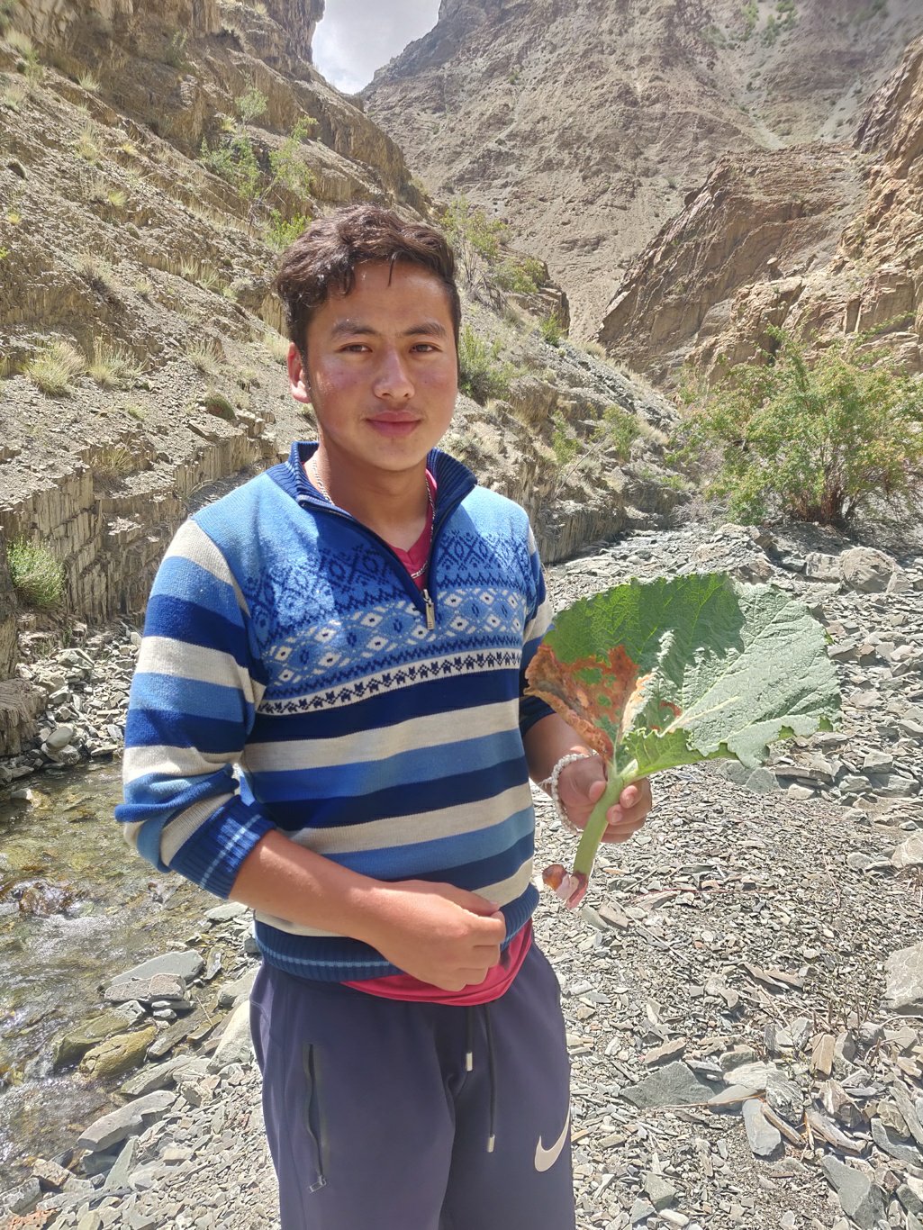 We chat up on various topics and I resume my way up the valley. The trail is not very clear (landslides in many places) but regular cairns mark the way through various splits in valley. I mostly simply boulder up along the small stream.
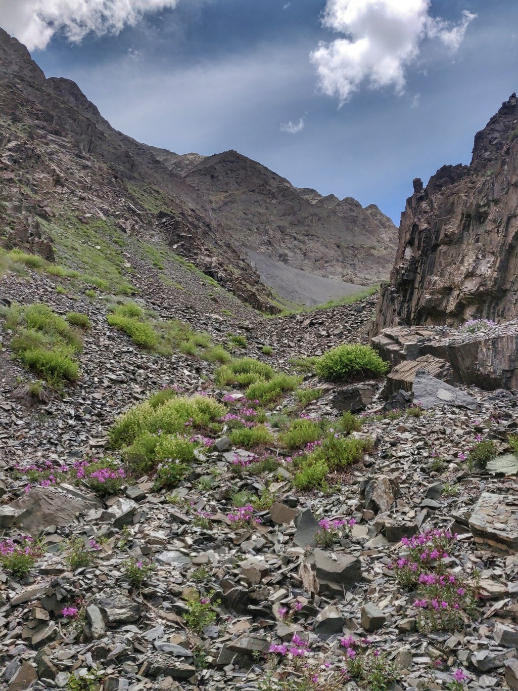 Along the way I come across various beautiful flowers, each of which seems to flourish at its own preferred altitude. Some near the pass, some lower in the valley. This trail also appears infrequently used with no signs of horse dump on the way. The distance from Leh and large 1500m ascend might not attract the average hiker.
 Near the pass the trail is more intact and hair pins up along the steep scree slopes. A gradual ascent designed for horse travel in the olden days. The rock scree below the Tar La is more firm compared to the lose soil scree below the Stakspi La the previous day making it much easier to climb up.
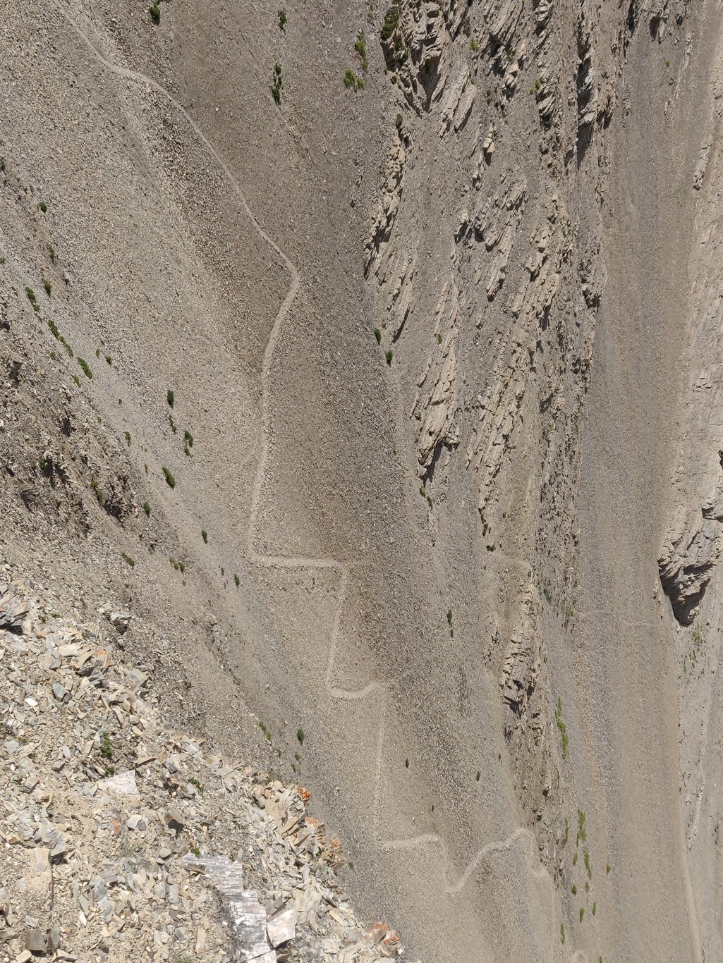 From the top of the Tar La at 4900m one gets treated on mesmerizing views on the valleys on both sides. North the towards the Indus valley and the snow covered peaks towards Nubra. South you get views on the valley leading towards Photoksar and the small green village of Ursi below.
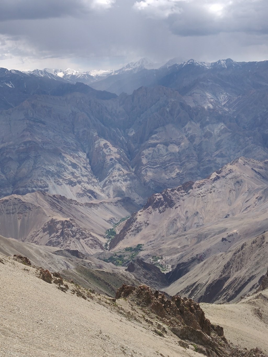 Again a clear trail hair pins down 1300m from the Tar La to Ursi, initially steep through an open valley, later on more gradual through a small canyon towards the lush green village. Ursi is connected by road and another 5km walk gets you to Panjila.
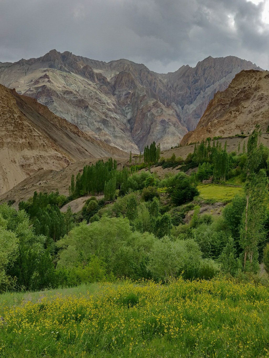 At 5pm I finally reach Panjila in the main valley and take rest and some snacks at a small corner shop run by a Buddhist monk spinning his prayer wheel. There is a bus at 8am to Leh and I decide to stay in this peaceful hamlet for the night.
 I finish some pending blogs from the past few days and write a nice summary article on Ladakh for the Outdoor Journal which is covering my journey. As the sun sets deeper below the horizon the night skies display a myriad of starts and the Milky way slowly fades in.
Copyright © 2019 UltraJourneys - Supported by dreams
