The night was peaceful at 3200m camping on a small saddle near a peak where we lost the trail the previous night. We woke up by 6:30am, packed up our gears and resumed our search for the illusive Survey map trail. The peak was cut by steep gullies and dotted with huge boulders on top.
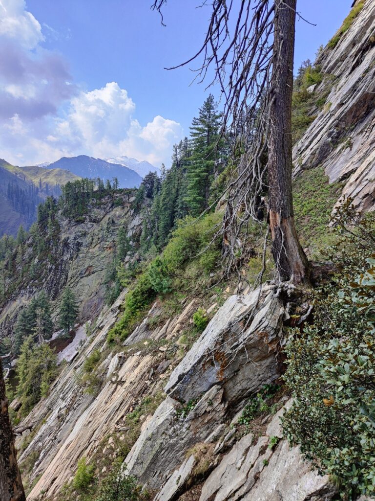
Unable to find a way through to the top we decided to descend back to the open meadows below. A shepherd showed us an alternate trail to the peak. This one appeared to be in use and was different from the trail marked on Survey map.
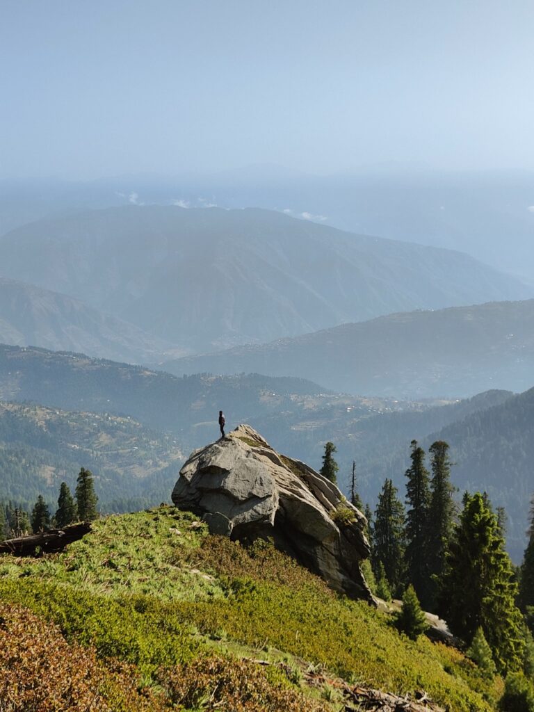
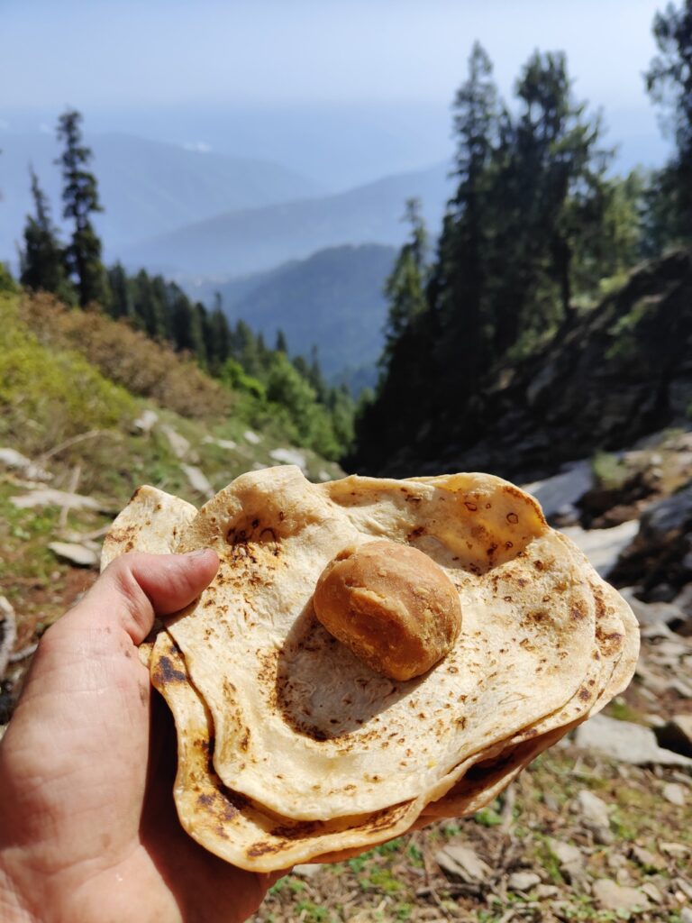
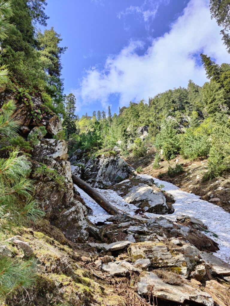
We took a short break near a steep gully where we found a spring. We had rottis and jaggery for breakfast. The trail crossed a snow bridge and then hair pinned up between two steep gullies bordered by huge boulders.
We were able to ascent steeply for some 200m until the trail disappeared again nearto the top. Disappointed we descended back down to the meadows. Palani, my co hiker, had fractured his fingers in an earlier cycle accident and was wearing a cast. He faced difficulty using only one hand in this steep terrain.
After all the climbing last night and this morning his fingers started hurting badly and he decided to quit. I continued the journey solo. I descended further down the meadows until i found a small trail contouring on the left. This might possibly circumvent the steep peak where we got stuck.
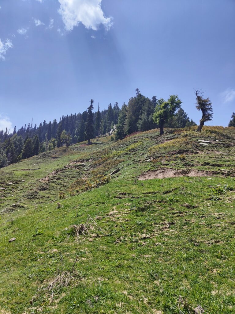
I followed the narrow trail through the forest which descended gradually to the Bach Nal. From here i was able to get onto the next side ridgeline which would bypass the deadend peak and get on top of the main ridgeline. The climb was pretty steep but i was able to make it on top.
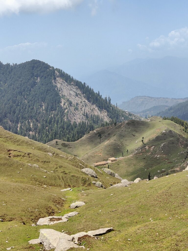
Once on the top ridgeline it was easy to proceed. Beautiful rolling meadows interspersed with small hilloks and forest. I passed Juwa dwelling where a few shepherds were grazing their herd. A nice path ran across the ridgeline. While passing the Sikri gali (3150m) some youngsters were playing cricket near another dwelling of 5 wooden / mud homes.
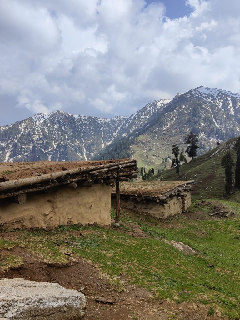
Further South I passed the deserted dwelling of Talai from where the ridgeline climbed up steeply towards Licha peak (3870m) which we attempted 2 days ago from the West side before running low on food. The top was covered by fresh snowfall from last few days.
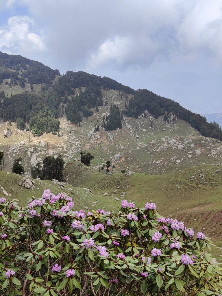
A clear trail climbed up but eventually disappeared in the dense rododendrom bushes. Yet another failed attempt to reach Licha peak to continue the top ridgeline between Niru and Tawi river valleys towards Bhaderwah. I decided to accept defeat and take a U turn.
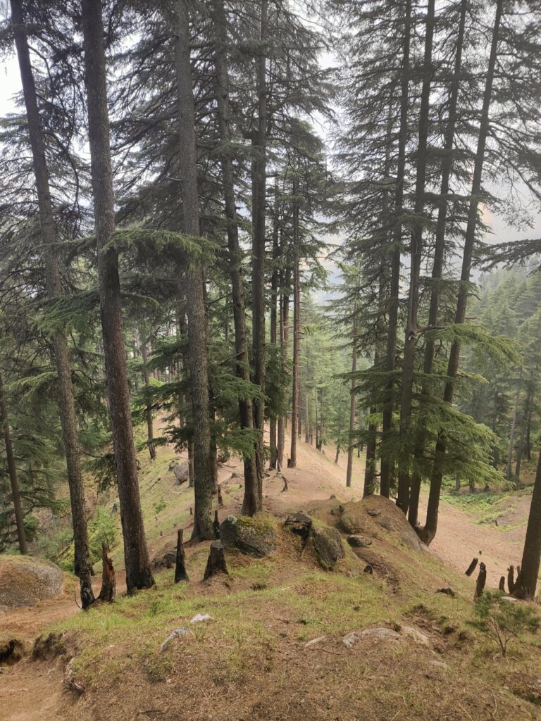
Near Talai a side ridgeline dropped into the Chilli Nala valley below. I found a clear trail on top of the ridgeline descending initially through open meadows before entering pine forest. Mid way I met a few shepherds, one of which decided to accompany me to his village below.
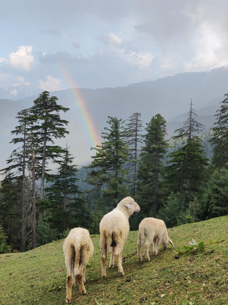
He literally ran down the steep trail, myself trying my best to catch up. It rained and the trail became muddy and slippery. Later in the evening a beautiful rainbow appeared above the valley. We touched a furst deserted farming dwelling and descended fast into the valley.
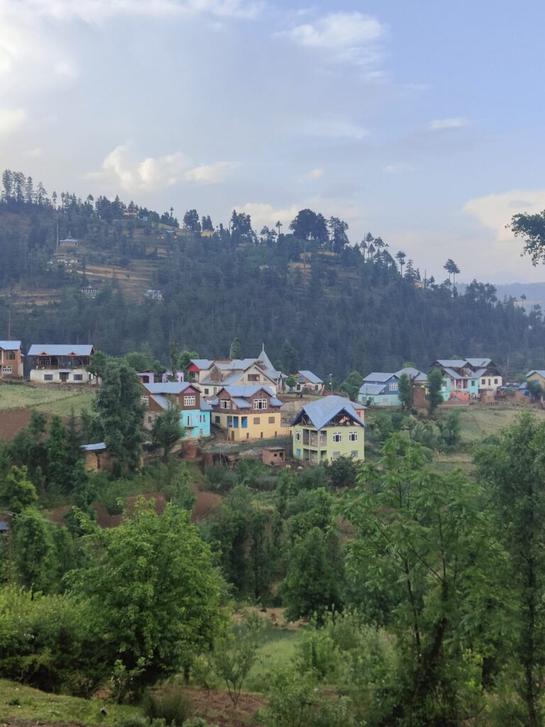
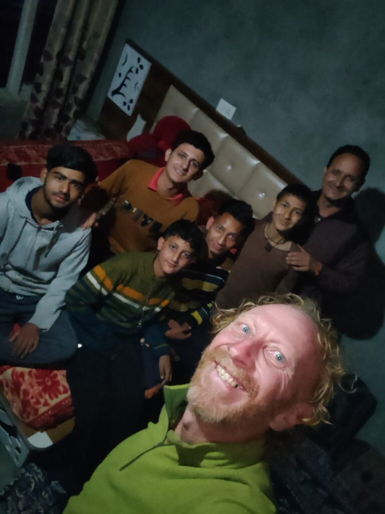
He took me to his village Gajot, a picturesque hamlet in the Chill Nala valley, tributary of the Niru river. Soon I was surrounded by 20 youngsters from the village, eager to know about the unexpected visitors. The panchyat head got me some tea and dinner.
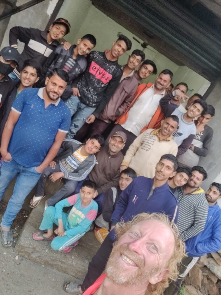
One kind gentleman invited me into his home, providing me a comfortable room. I was interacting with his family till late night until I snuggled beneath the cosy blankets and fell asleep after yet another long, intese day in nature s lap.
