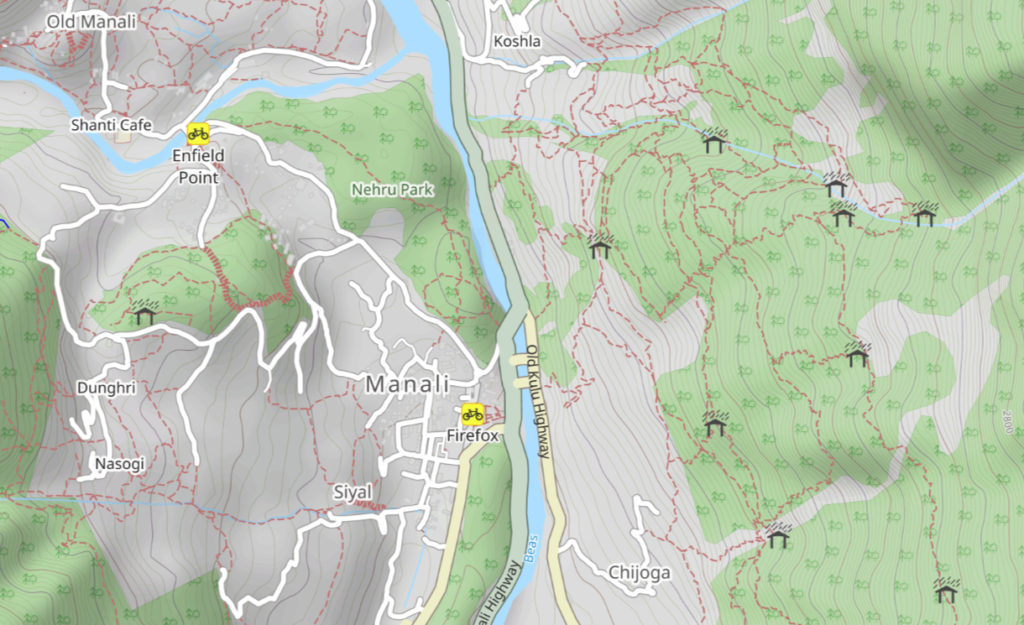
Thousands of Himalayan hiking trails have been accurately mapped in Open Street Maps for the benefit of the independent hiking community. Everyone can add newly explored trails to OSM so other hikers can discover the same. One can map campsites, shelters, springs, viewpoints, falls, fords, villages which allow others to plan their hike.
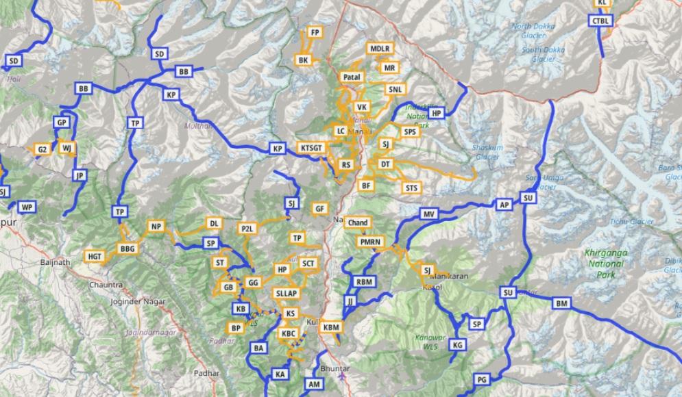
The Waymarked Hiking Trails web site presents a comprehensive overview of all hiking routes defined in Open Street Maps. It shows intercontinental, national, regional and local hiking networks as you zoom in and out of the map.
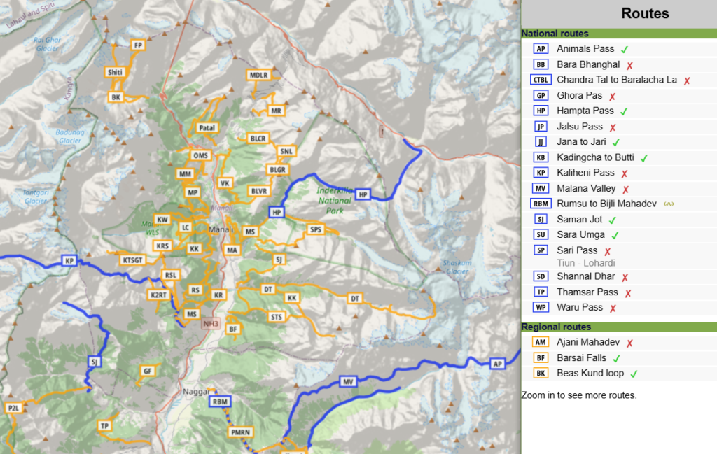
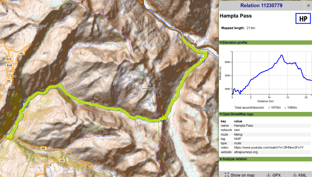
More than 600 GPS recorded routes have been accurately mapped across the Western Himalayas totaling 12 thousand km allowing the independent hiker to plan trans-Himalayan traverses. You can click on each hiking route to see more details including an elevation profile and download a GPX file for navigation.