After a peaceful night in the forest next to the stream near the hamlet of Sungcha we were excited to explore the valley upstream. There was a clear trail proceeding left and right along the stream. With the GHNP map we were navigating our way forward. Here and there we had to climb around small waterfalls.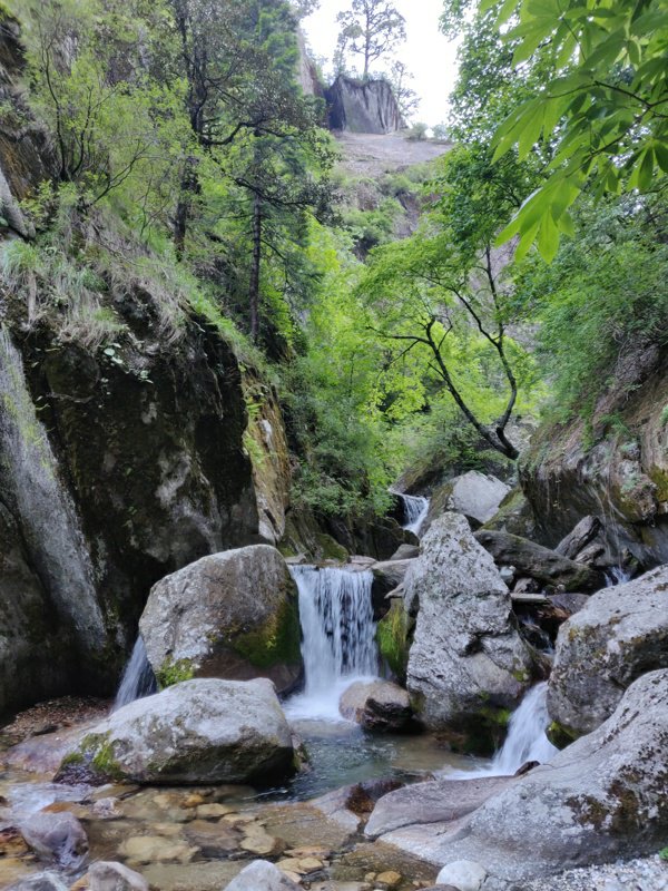 We were proceeding as per the red dotted trail on the map from Shungcha through the Rakhundi PF along the stream to Dehl. At one intersection of two streams (near 2635m peak) we had to proceed along the left stream as per the map. Strangely however the trail continued along the right stream.
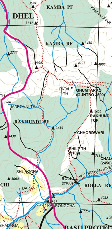 Nevertheless we trusted the map and went left. After some 1 hour we got stuck on a larger waterfall in the left stream with no way to climb around. We took a U turn and decided to try the trail in the right valley. We were able to proceed for quite some distance till we missed the trail and started climbing up along a dry side-valley along a moderate gradient.
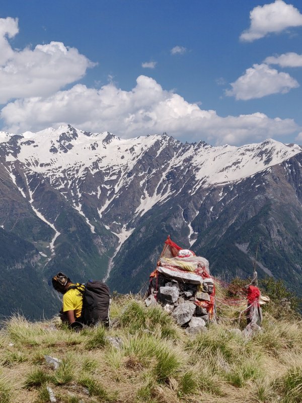 We eventually got onto a side ridge which eventually took us up to the Rakhundi top 3622m offering beautiful views on the surrounding snow clad peaks. From here we found a trail coming from Rolls and could proceed along the ridge towards the saddle of Guntro 3500m. Here a clear trail continues Northwest along the slope below the 4225m peak.
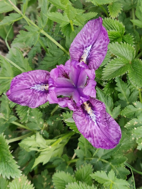
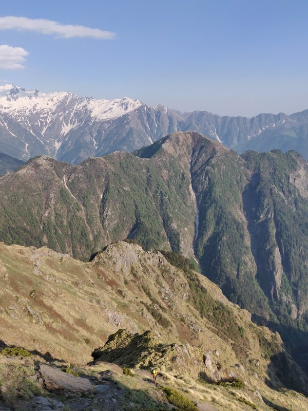 Along the way we met a few guys installing camera traps to observe wildlife. The alpine meadows were dotted with numerous beautiful flowers in pink, yellow, blue and white hues. The trail contoured West below the ridge steadily climbing up to the Tirthan-Sainj pass 3870m.
 On the other side of the pass the trail continues along a Northwestern ridge into the Sainj valley towards the meadows of Dhel. As usual along the Western facing valley slope after the pass we encountered several snow bridges while descending.
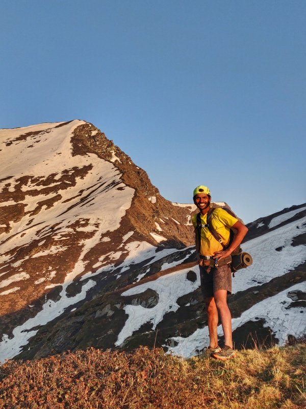 A clear trail descended slightly below the ridge into the meadows. We met a few locals who were searching for the highly priced flower which is sold across the border of Tidet and China. At 7pm the sun was slowly setting down and lighting up the skies above the ridge in a beautiful orange glow.
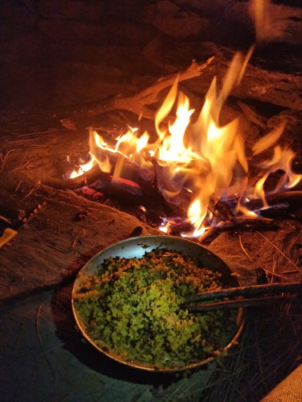
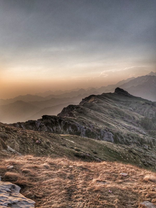 We continued at a fast pace down the ridge towards lower and warmer altitude for the night. A bit further ahead we came across an open shepherd shelter which looked like a perfect campsite cutting of the wind from all sides. We found firewood and made a small campfire while the moon was lighting up the surrounding snow peaks.
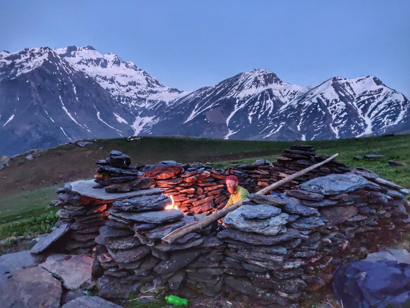 2 days earlier, Pranav Rawat had given us a few packets of home made ready to cook rice and dhal which we decided to have for dinner using the 1L available water we carried with us. With filled stomachs we settled down in our sleeping bags as the temperature at 3600m altitude in early summer was quickly dropping. The moon and stars were shining bright in the silent night.
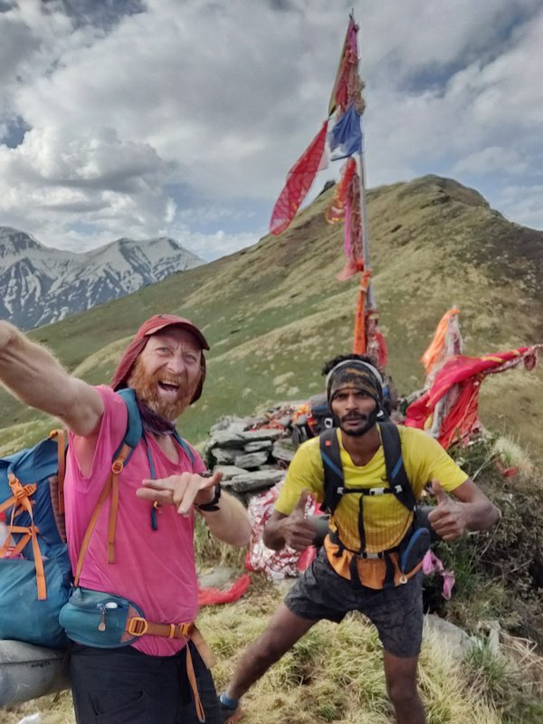
 We got up a bit later next morning at 7am to let the sunrise warm up the chillness. We walked through beautiful meadows above the forested valleys till Dhel 3600m where a flag marks a split in the trail. Left goes to Lapah, right goes to Shakti, both in the Sainj river valley.
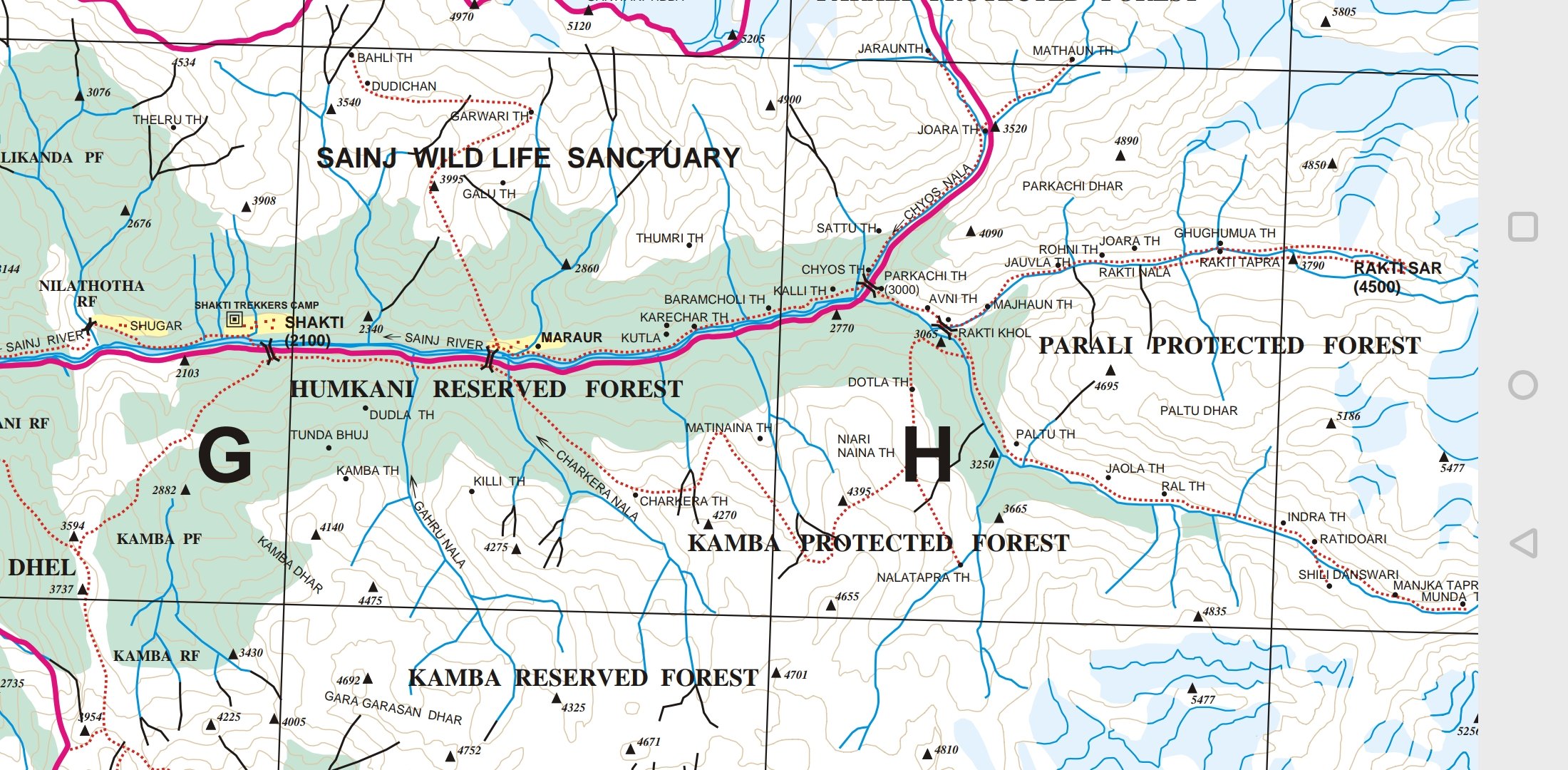
 As we were planning to explore the entire Sainj valley upstream till Rakti Sar 4500m we took the right trail from Dhel to descend towards the river. We crossed a rest house and the trail ran through beautiful meadows offering clear views on the snow peaks above.
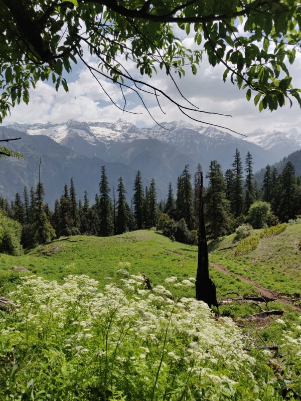
 Soon after we entered into beautiful pine forest and the trail hair pinned down into the right side valley and climbed up again to the next ridge from where it descended into the main Sainj valley. We could here the force of the river from far away.
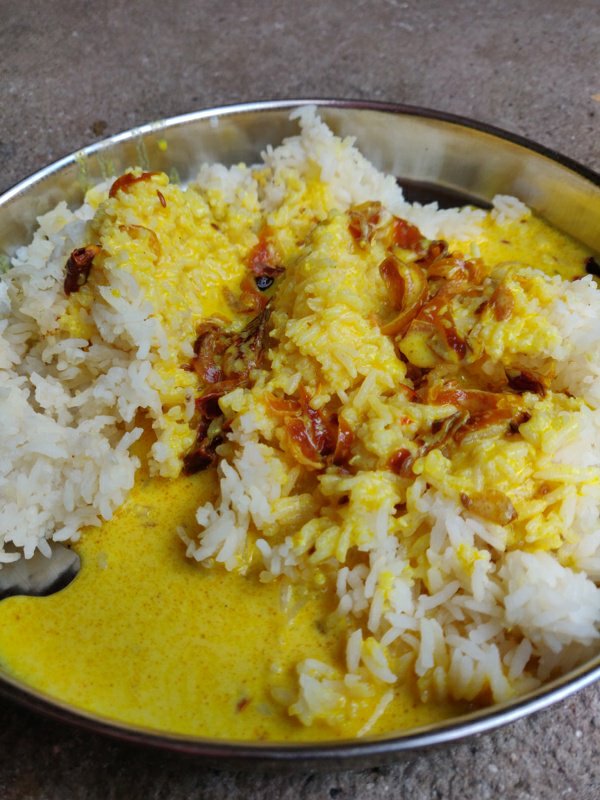
 We crossed the Sainj river over a bridge and entered Shakti 2250m a small hamlet of a few homes where a friendly gentleman served us rice with sabji and we restocked our packs with biscuits, Maggie, dry dates and raisins at a small shop for the next few days ahead.
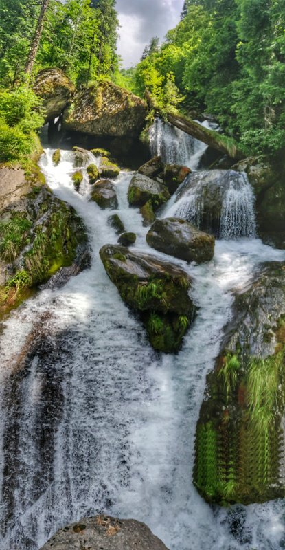
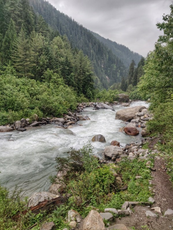
 A broad path continued along the right side (upstream) of the Sainj river through beautiful pine forest rolling up and down while slowly ascending along with the ferocious stream. Along the way we crossed the equally thunderous Gharu Nalah side stream carrying meltwater from the snow peaks above.
 At the next hamlet of Maraur 2500m we crossed the Sainj to the left side through bridge. The local shop lady served us ea and biscuits. The hamlet has a beautiful wooden handcrafted temple. We continued our way upstream along a smaller trail past this last settlement. The river was flowing forcefully through the beautiful Sainj valley.
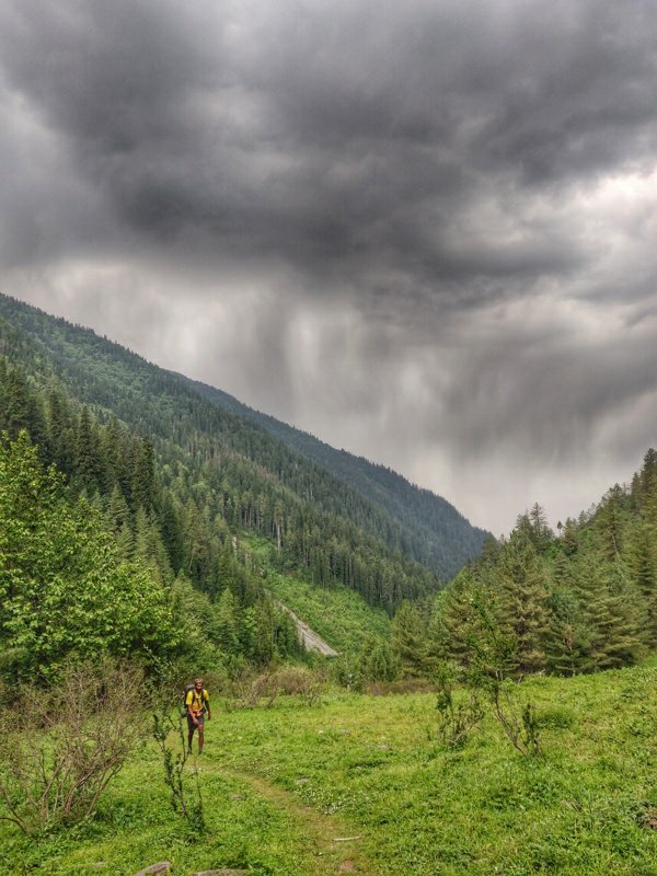
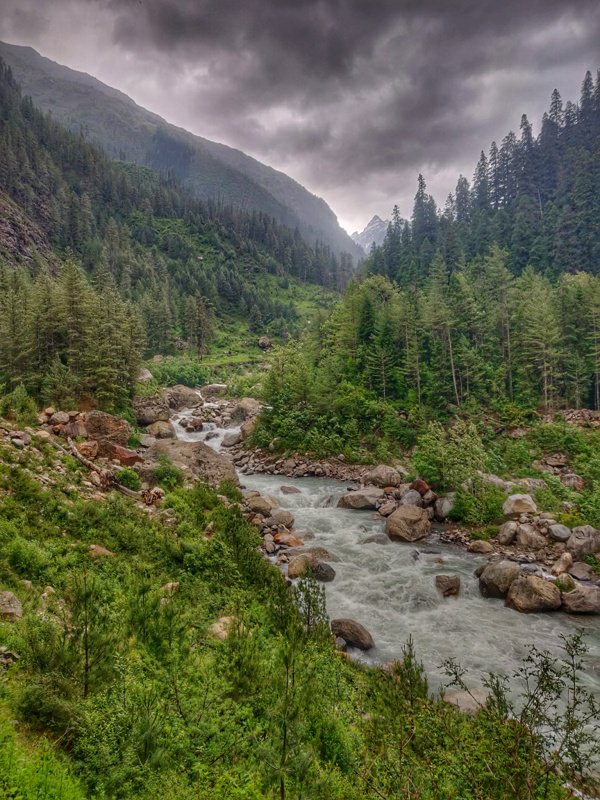 Further upstream the trail climbs up higher above the stream above a few landslide sections. It ascends and descends across a few side valleys through the forest and a few open meadows in between. In the late afternoon it started raining continuosly into the evening.
 Just before dusk we found a cave below a large overhanging rock along the trail. Not knowing whether we would encounter any shelters ahead before nightfall we decided to settle down in the cave. We were feeling cold being partly wet at 3000m with the evening setting in. A dry night shelter was a must to stay warm
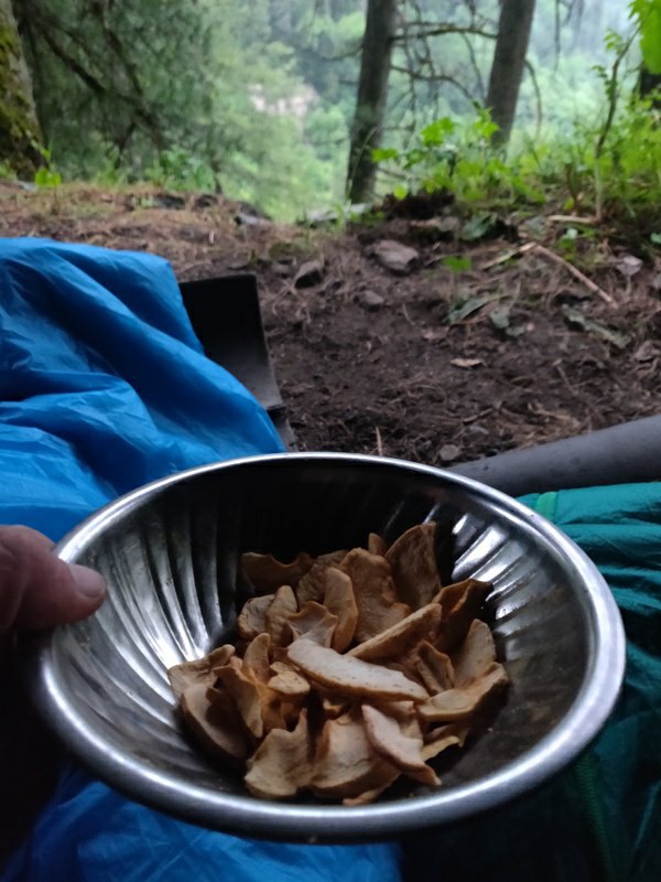
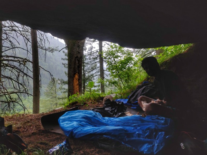 With all wood in the forest soaked cooking was not an option today. So we decided on a cold dinner: dried apples gifted by Pranav, ready to eat noodles (dry) and biscuits. With the stomachs filled and a roof above our head we were ready to hit the sack hoping the weather would clear out in the morning.
 We rose out of our cave by 6:30am with the early daylight. The sky was still overcast and soon the rains would pour down again. We followed a clear path above the Sainj river towards Parkachi Tach 3000m where the Chyos Nala joins the Sainj and we expected to find a bridge to cross over.
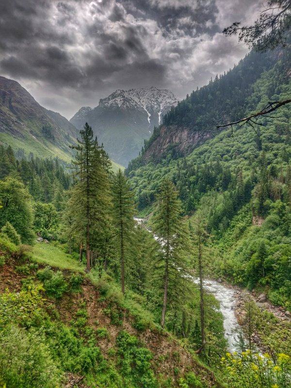 5000+m snow peaks were visible above the valleys. The trail kept climbing up along the Chyos Nalah away from the confluence of both streams where we expected the bridge. After climbing till 3200m and with no proper crossing in sight we decided to make a U turn to see if we missed any side trail.
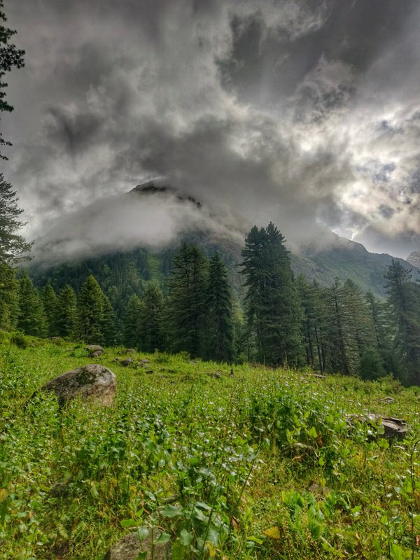 We checked along the entire side of the side stream but in vain, no sign of any bridge across. With the rains intensifying, no way forward and us getting wetter and colder at this higher altitude we decide to call it even and start our return downstream the Sainj valley. We still had a long way to go to exit the entire valley.
 We reached back to the last hamlet of Maraur at 11am when it started pouring and we took shelter for some time. The rain was incessant and we were getting cold standing still so we decided to keep moving forward. By 1pm we reached Shakti and the weather cleared out. We had lunch at the same house as yesterday before pushing another 18K to Neuli, the road head of Sainj valley.
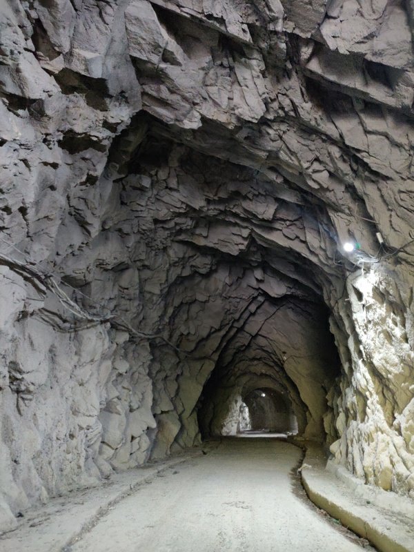
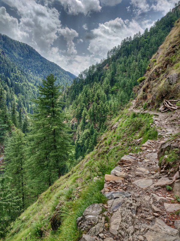 The path switched sides of the Sainj river a few times times and went up and down along steep rock faces of the valley. Along the way we crossed small hamlets of Shugar 2300m, Changa 1900m, Niharni 1850m where there is large dam across he stream. Here also a motorable road starts which runs through a tunnel downstream.
 By the evening we finally reached the village of Neuli 1650m where the bus has its final halt. After 3 days away in the wild surviving on Maggie and biscuits it was time to recharge on some freshly cooked food in the local dhaba. We also restocked our rations for the next pass crossing – the Kandi Gallu to the Jiwa Nalla valley.
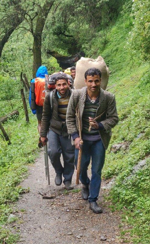 We settled down below the front porch of a small shop while the rain gods were opening the gates again…
Copyright © 2019 UltraJourneys - Supported by dreams
