I spent the night on a flat rooftop of an empty house at Lamayuru next to the Leh-Srinagar highway. I go back to the dhaba where I charged my power bank overnight, have breakfast and pack up 5 alloo parottas and 10 rottis for my next crossover towards Chilling near the Markha valley.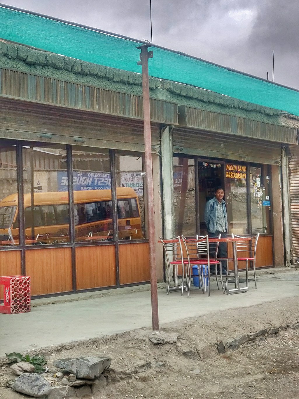 One kilometre below Lamayuru I turn right into a small green side-valley which gradually climbs up through a barren landscape to the Prinkti pass at 3700m where I meet another trekking party of some 6 French day hikers accompanied by two local guides.
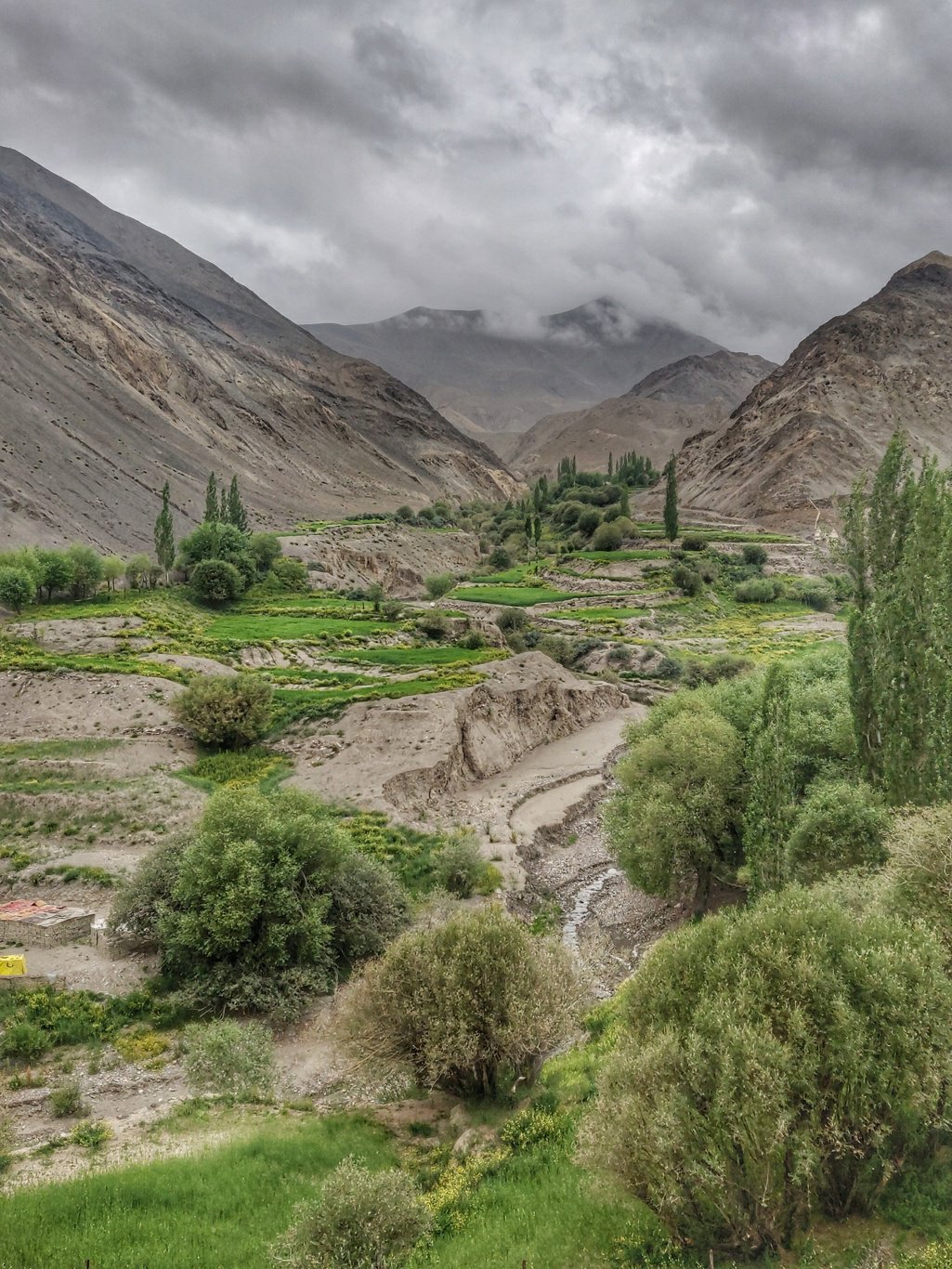 From the Prinkti La a small dry stream originates which cuts deeper into the surrounding hills as it flows towards the village of Shilla. At some sections one has to descent through a narrow gorge. Luckily there was no water flowing through this gully.
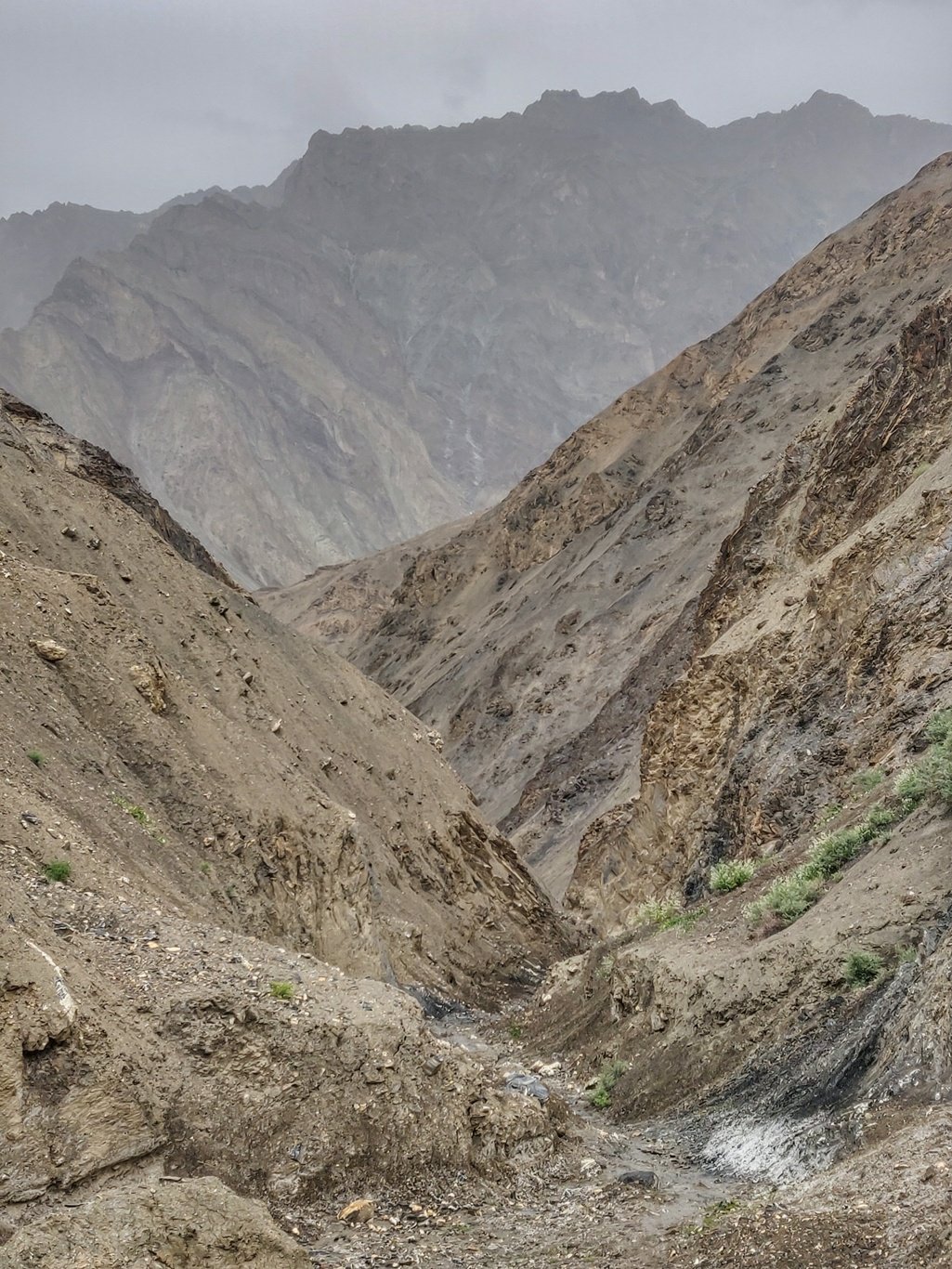 As we enter the lush green Shillakong river valley we turn left downstream along a road towards the larger village of Wanla. If you take right upstream you eventually end up in the valley between the Yogma La and Nigutse La (see previous blog).
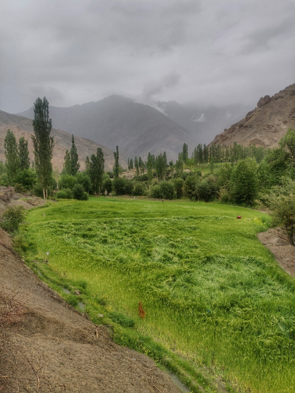 Wanla is located at the confluence of the Yaopola and Shillakong rivers. I has a BSNL cell tower (which was not working when I passed), a J&K bank, a nice monastery on hillock and several provision stores. It s the last big town on the way to Photoksar / Lingshed / Zanskar.
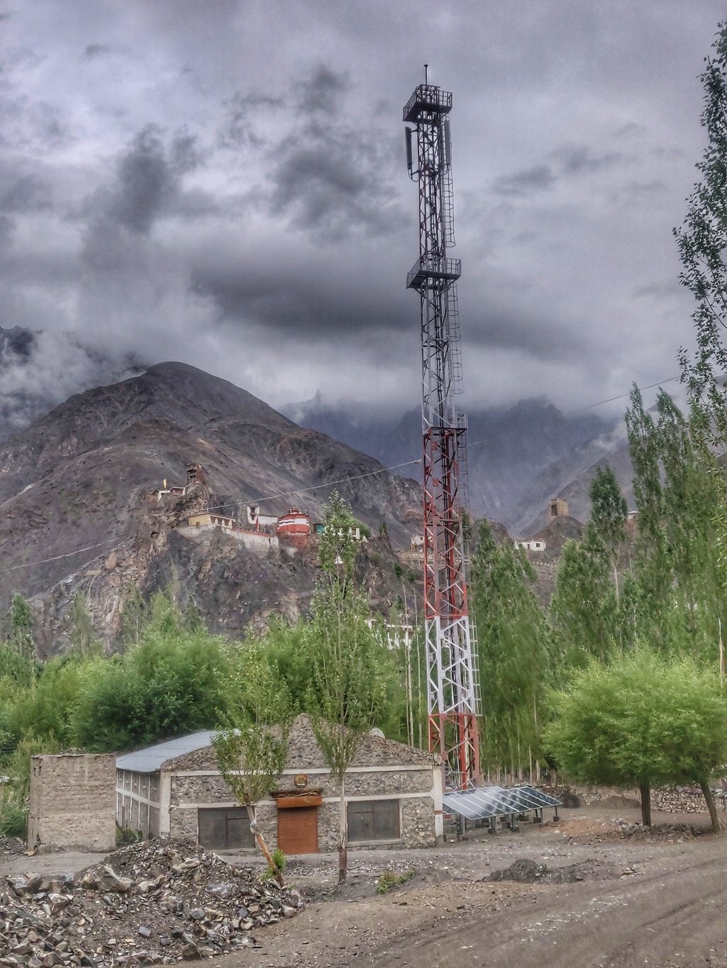 As luck has it, I hitch a ride on a by passing jeep with a Swiss hiker to Panjila skipping 6km of tar road. The Swiss is accompanied by a local guide and heading towards Zanskar. Very few foreigners seem to go alpine style on their own.
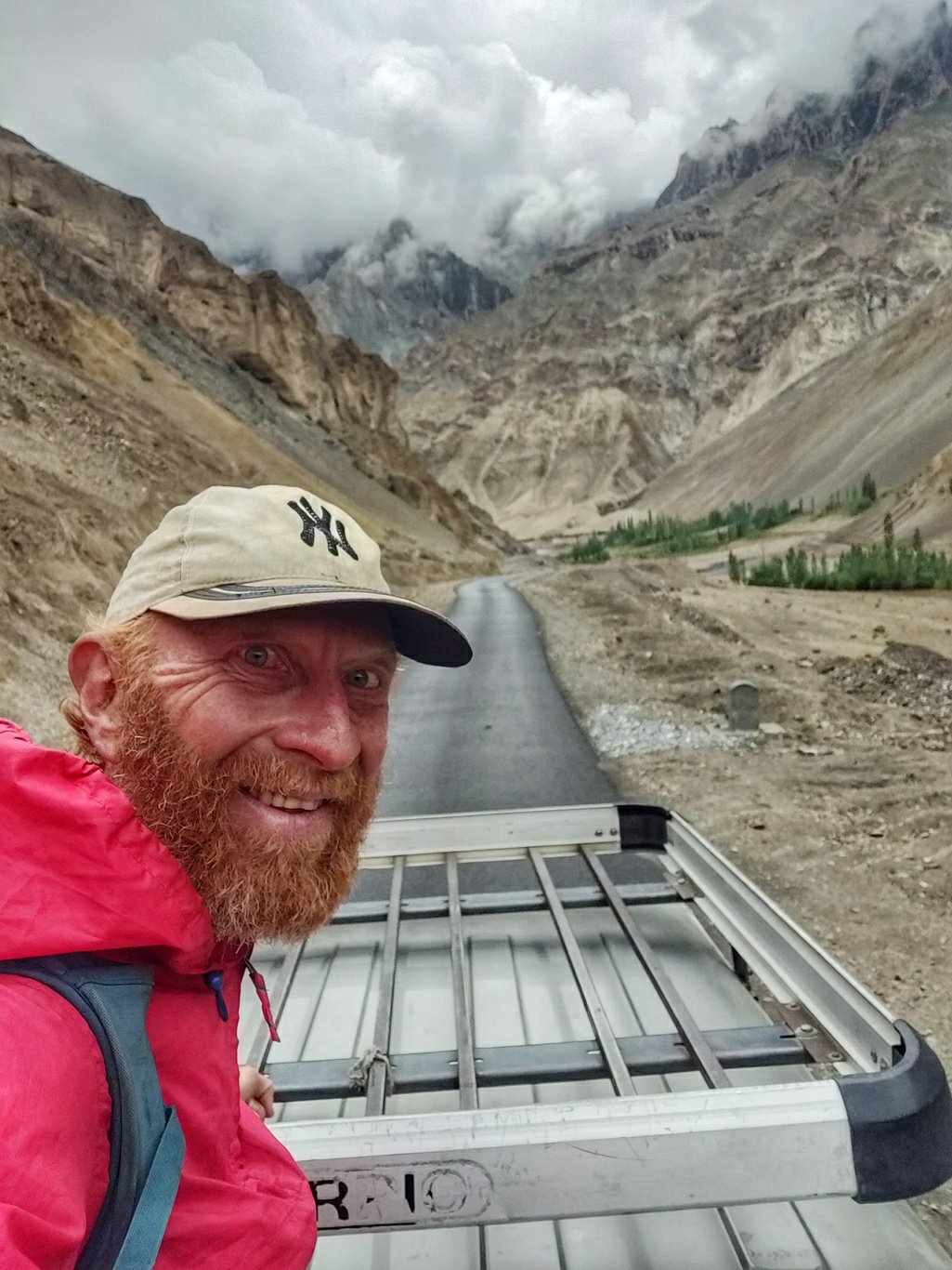 At Panjila I give into an early lunch of Maggie with eggs and mint tea at a local homestay with a scenic garden. A friendly local lady runs the place. Being en route towards the popular Photoksar-Lingshed hiking route the prices are hiked up.
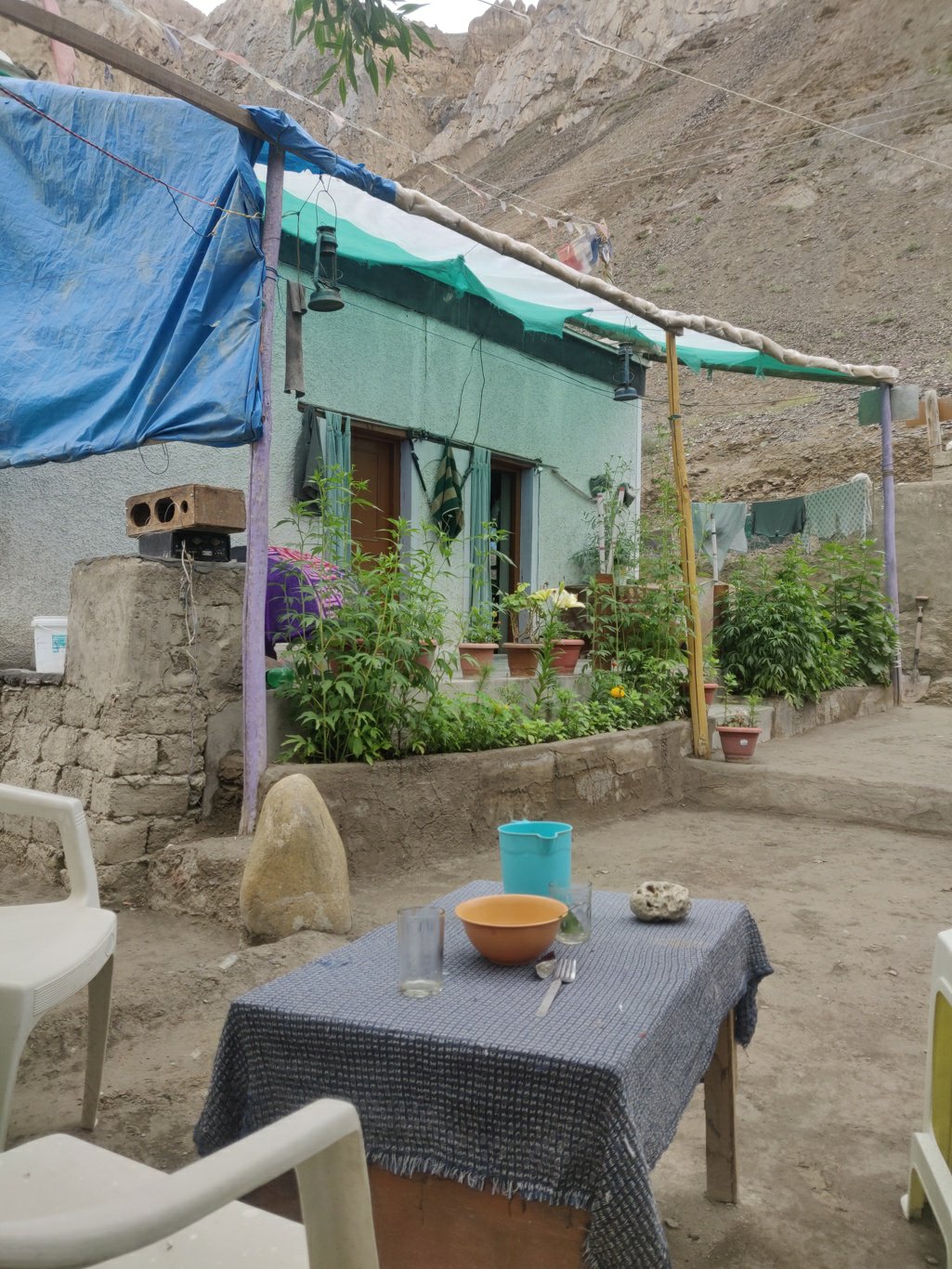 From Panjila I turn left into the Ripchar river valley. Intermediate lush green settlements dot the barren surrounding landscape. Power lines seem to electrify the most remote hamlets in this area.
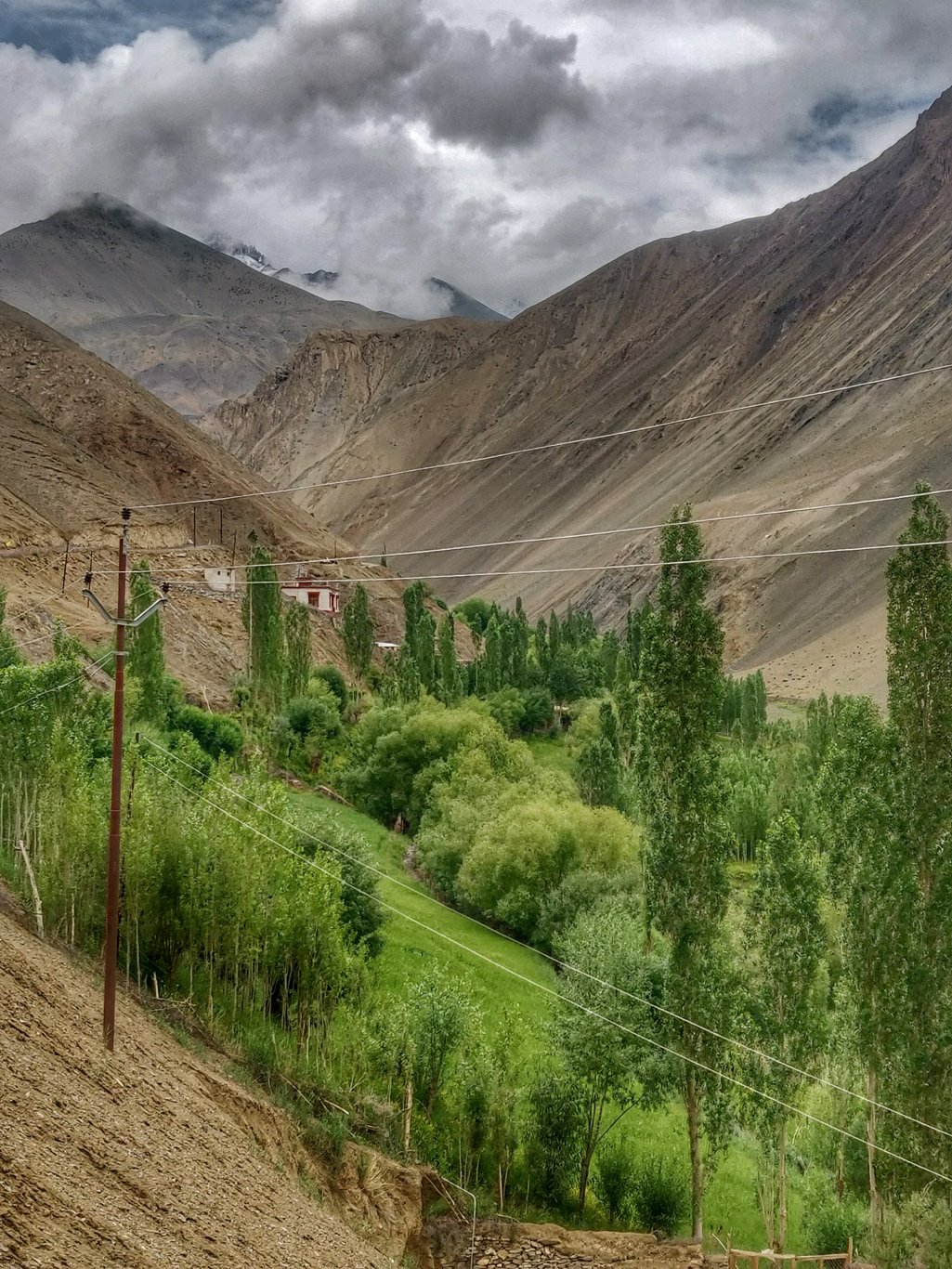 After a 7km walk along the road I hit the picturesque settlement of Hinju, the last village towards the Konski La. The village is built above the river below the steep valley slopes above. Lush green farm fields spread out along the Ripchar river.
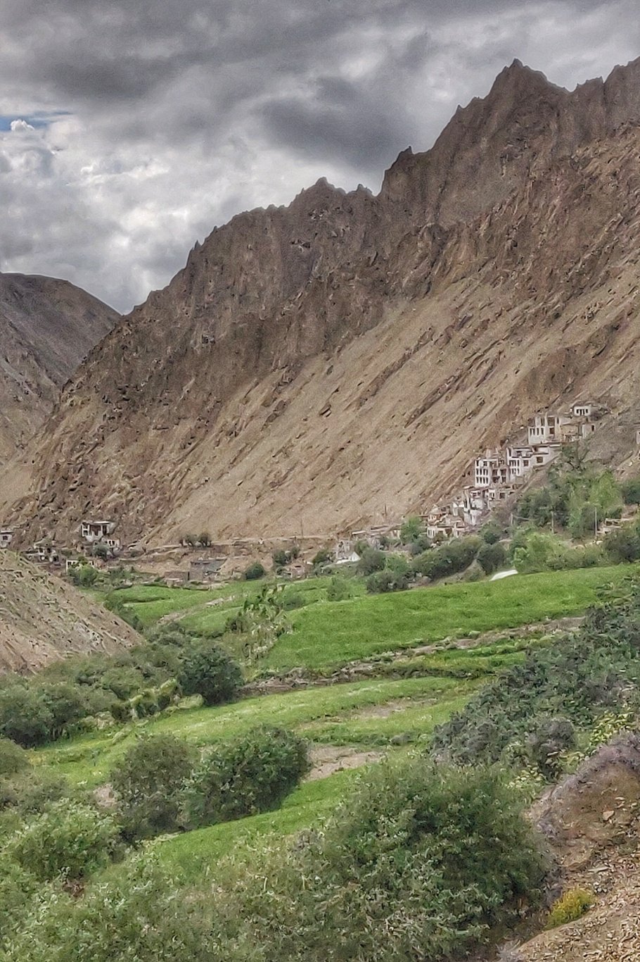 Curiously I follow a signboard which reads “Museum” which leads to a house higher up the village and eventually turns out to be a single room full of traditional Ladhaki utensils and tools. A kind elder man explains the purpose of each item in the room in broken English.
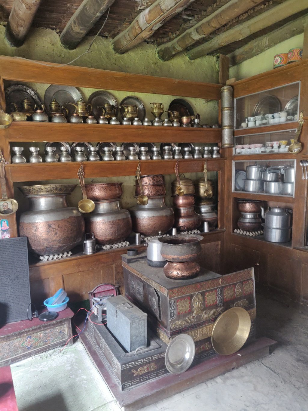 I continue hiking along a nice upstream the Ripchar and meet a few sheep and mule shepherds from Hinju grazing their animals in the upper meadows. The sheep are bread for meat, the mules are sold to carry loads for hiking parties.
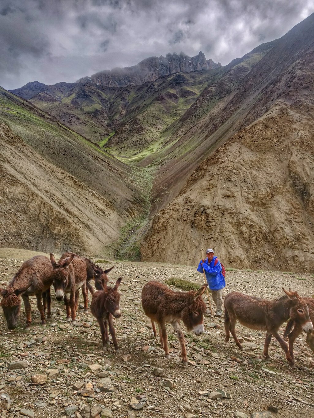 Still higher up in the valley I meet a herd of wild yakh peacefully grazing the meadows at the base of the pass. The gentle animals keep a weary eye on the lone bypassing hiker.
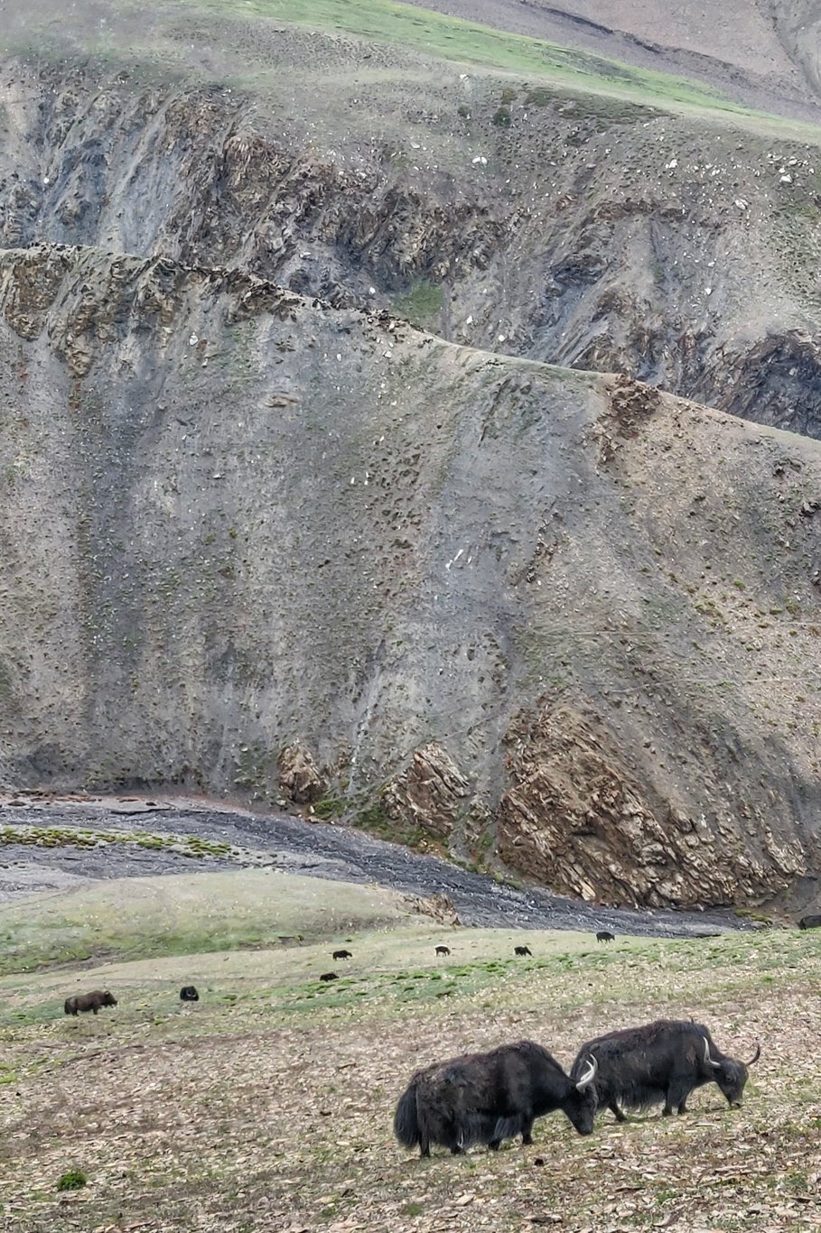 With the clock running late I am in dilemma whether to set up camp below the 4900m high pass or push ahead and still make a late crossing risking bad weather. Dark clouds for above the valley and the pass gets indulged in a misty cover.
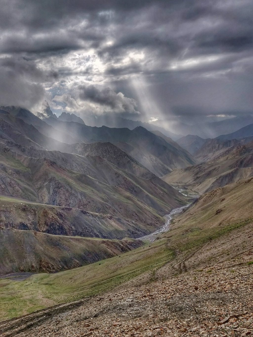 Not finding a campsite to my linking and not wanting to waste the remaining dalight I push ahead the final 500m ascent towards the Kinski La. Finally the evening sunrays penetrate through the clouds as I hit the pass at 6:10pm warming me up a little as chold breeze blows in the valley.
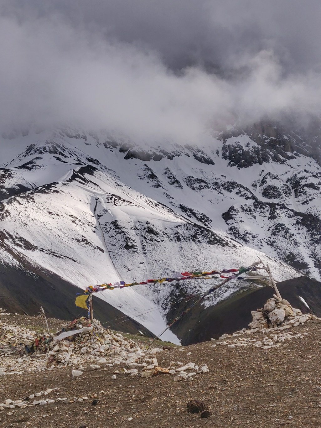 I take a quick selfie at my 60th pass crossing into the Hemis national park and quickly descent into the Sumdah Fu river valley down towards warmer altitudes. After a 500m descent I come across the ruins of an abandoned settlement where I settle down for the night in a small rock shelter which is surprisingly warm from the cold wind outside.
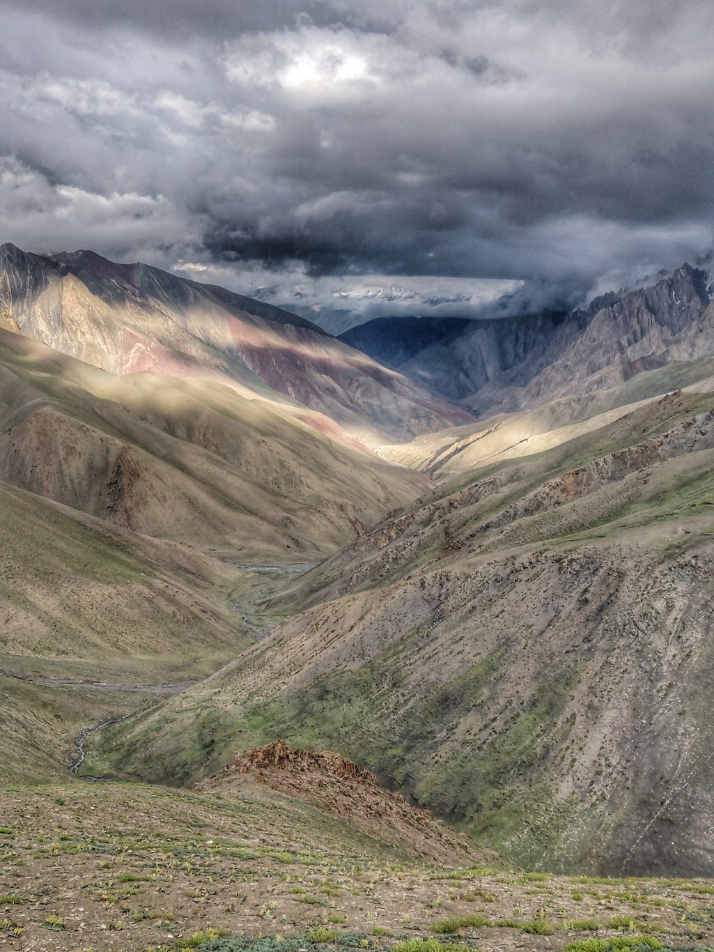 I indulge in a few yummy alloo parottas and tomato sauce I packed up in Lamayuru in the morning after a long day and two pass crossings. During the night a small drizzle passes by. Fortunately the roof of the half broken shelter keeps me dry.
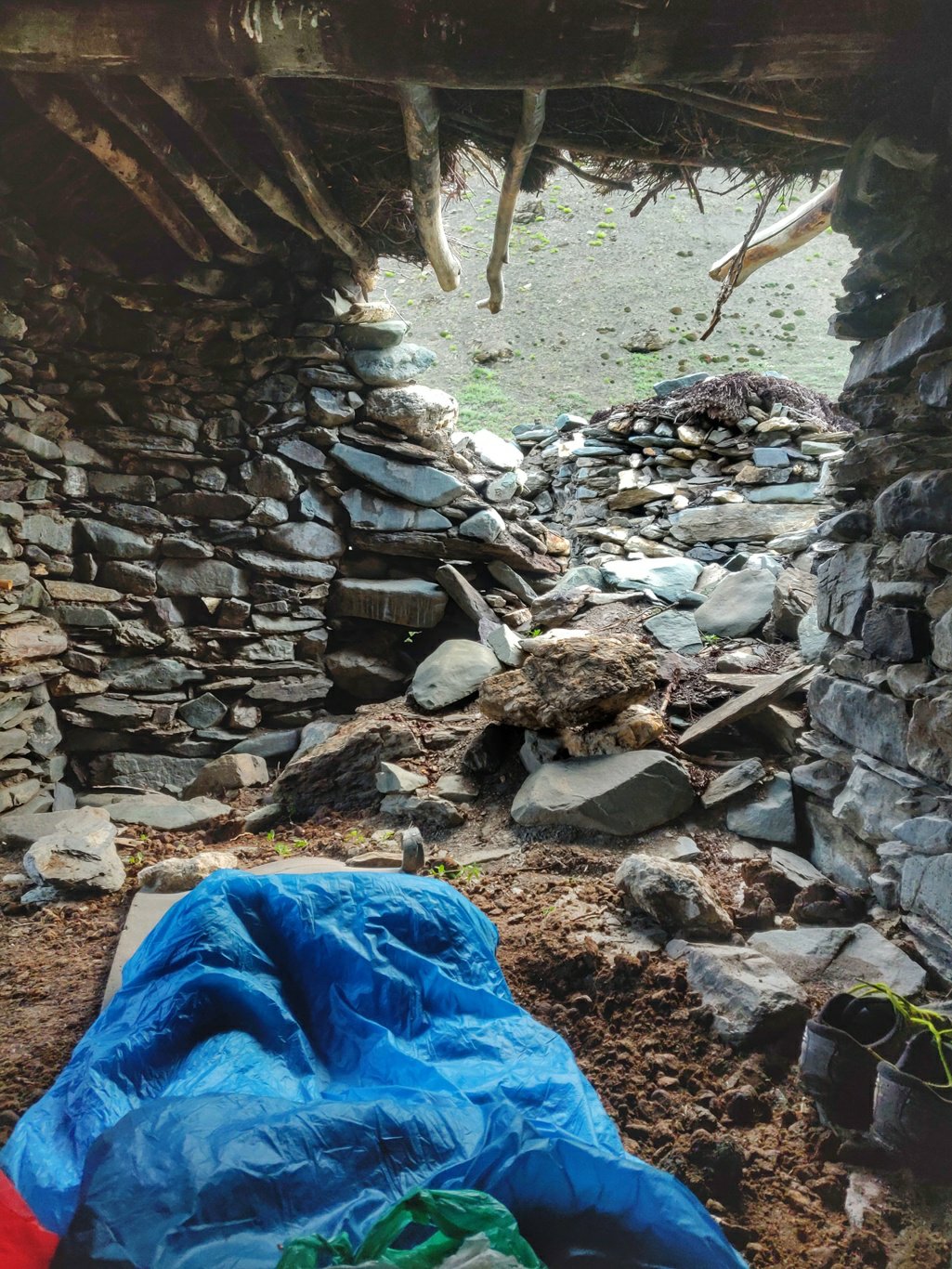 I wake up by 6:30am and resume my way downstream the Sumdah Fu river valley. The path is easy to follow as it seems frequented by hiking parties. A little while further I pass by the single home of a cattle herder which is busy attending to his animals.
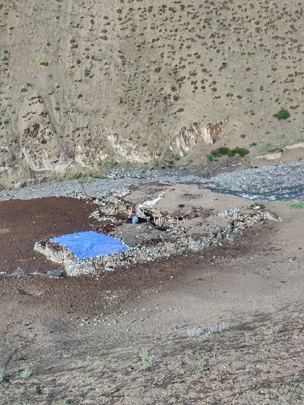 Further downstream the river cuts deeper into the valley and a new path climbs up slightly on the left side. The old trail marked in OSM follows the stream. I pass by a waterfall falling down above a large cave.
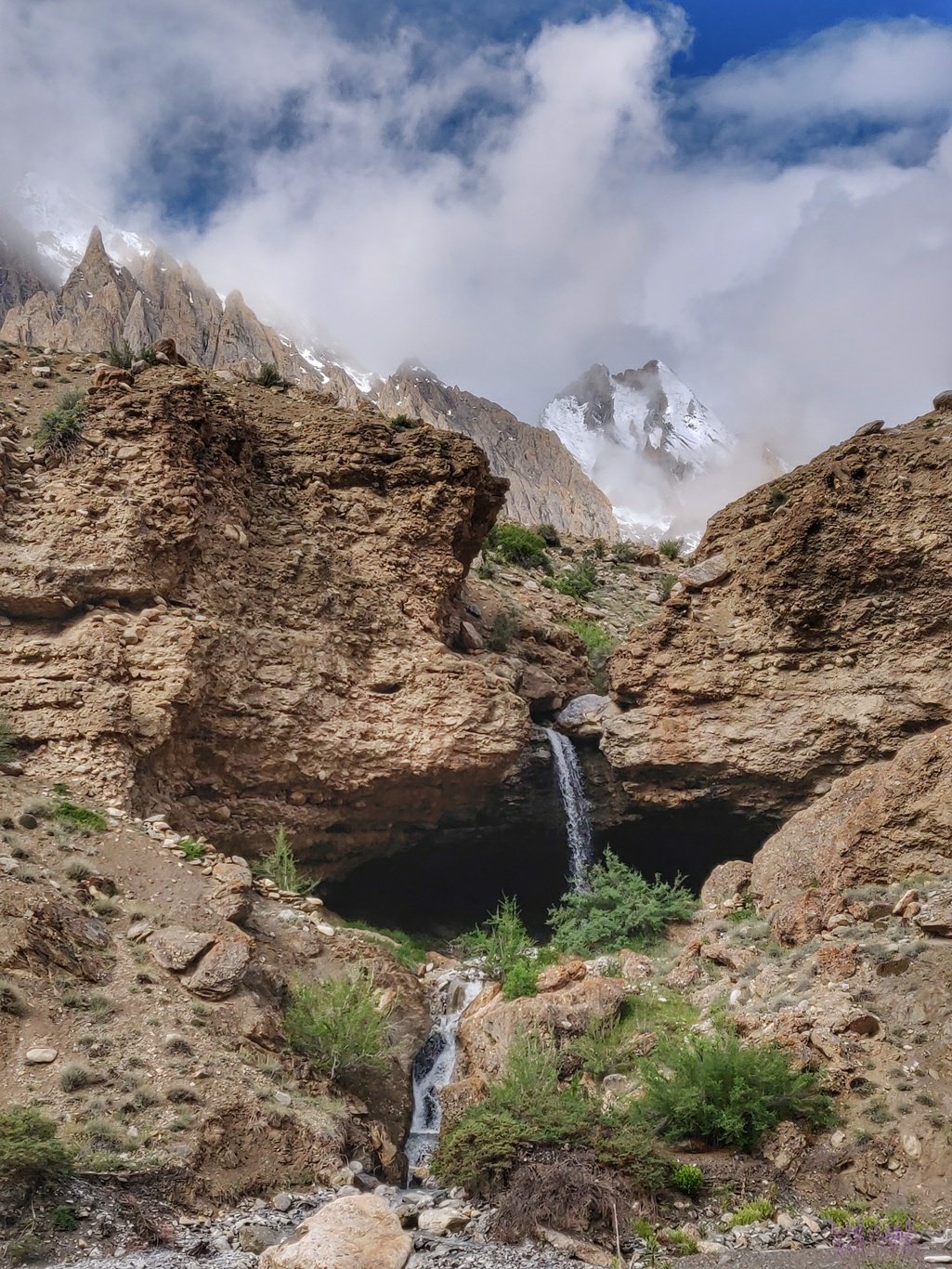 As we descent further the valley slope turns into a deep red hue offering a stark contrast with usual brownish rocks. Majestic jagged rock faces rise up on the opposite side of the valley.
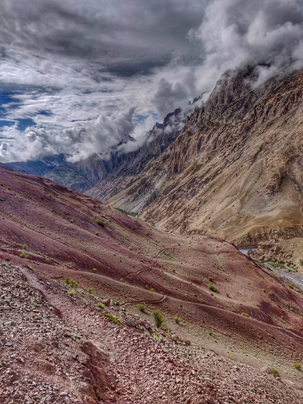 I pass another abandoned hamlet in ruins before finally entering the first village of Sumda Chemno which is a lush green oasis in this otherwise barren desert valley. Stuppas and Buddhist prayer flags mark the boundaries of the village surrounded by lush farm fields.
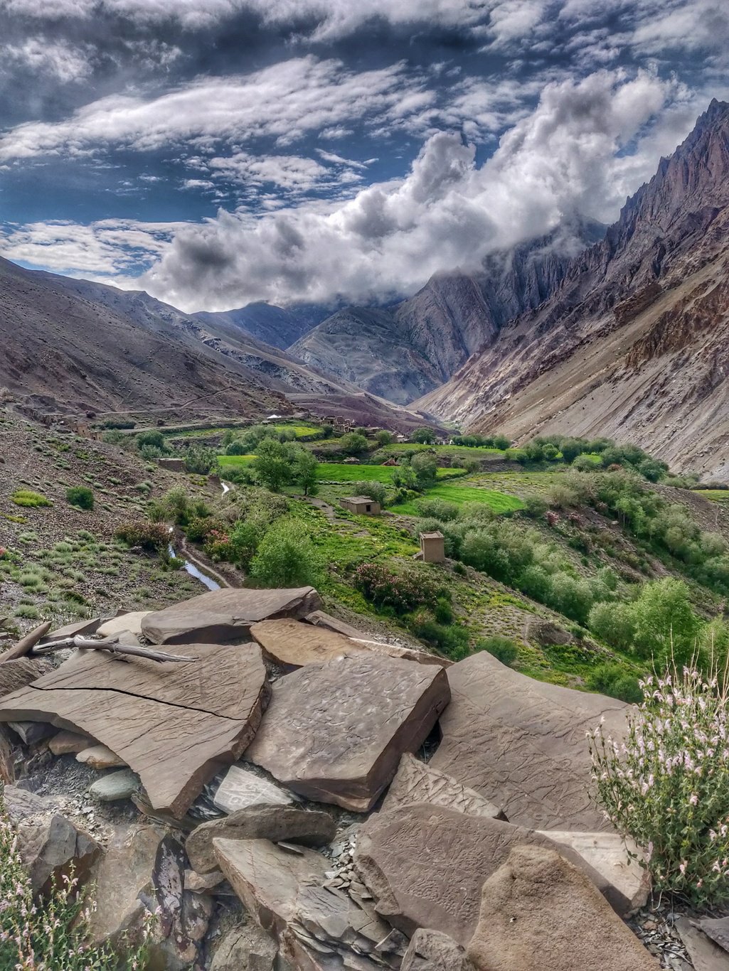 Bright pink bushes of wild roses align the path. These resilient flowers can be found in the most barren places in Ladakh and Zanskar. A lady calls me over to a white tent cafe for food but unfortunately I just had my packed breakfast so I move on.
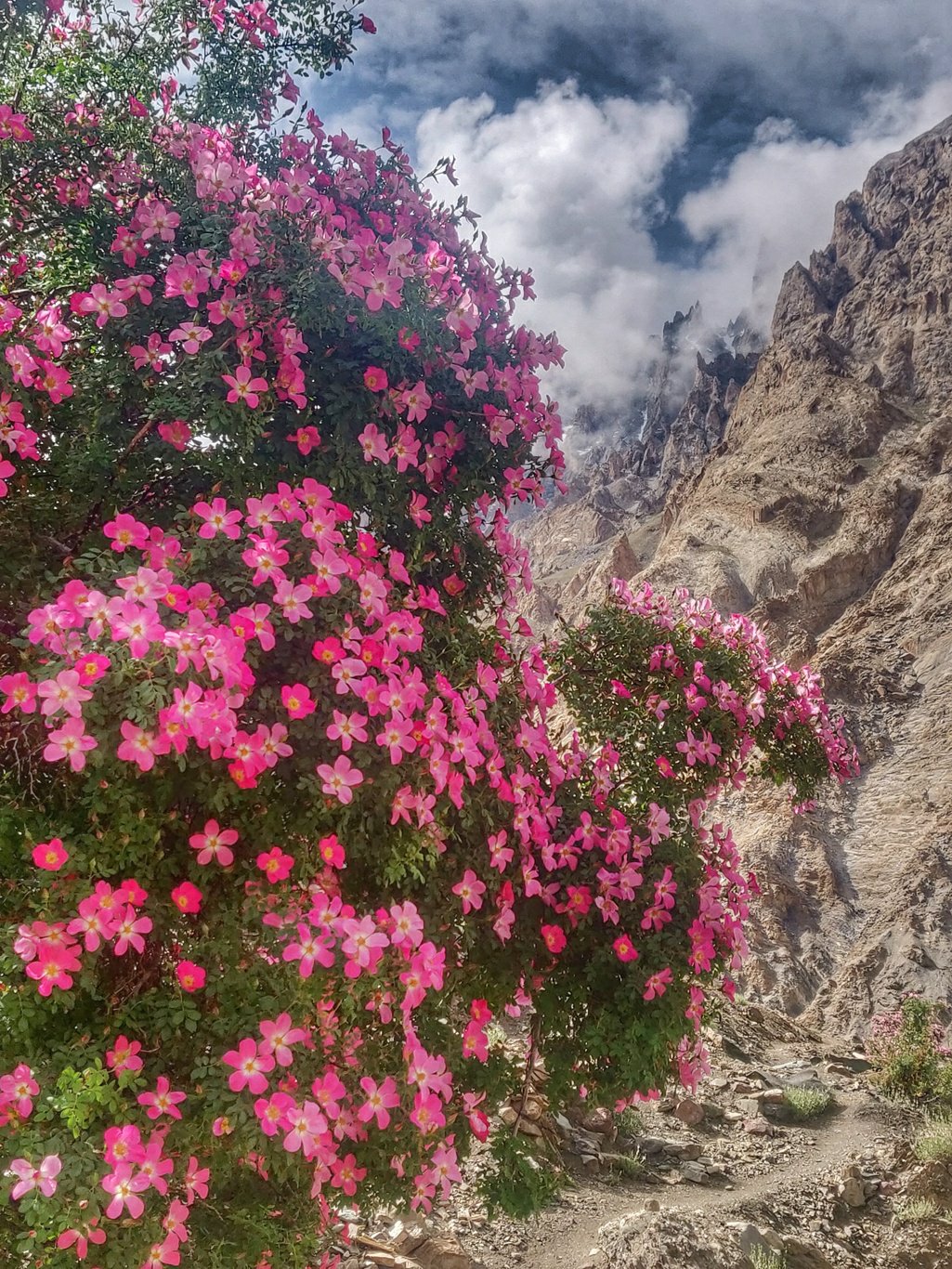 At the left turning of the Sumdah Fu river valley (called Lasgo) the path descend to the stream. The main path continues downstream (photo below) towards Sumdah Do in the Zanskar river valley. Another trail crosses the stream and climbs up on the opposite side to the Lanak La at 4100m.
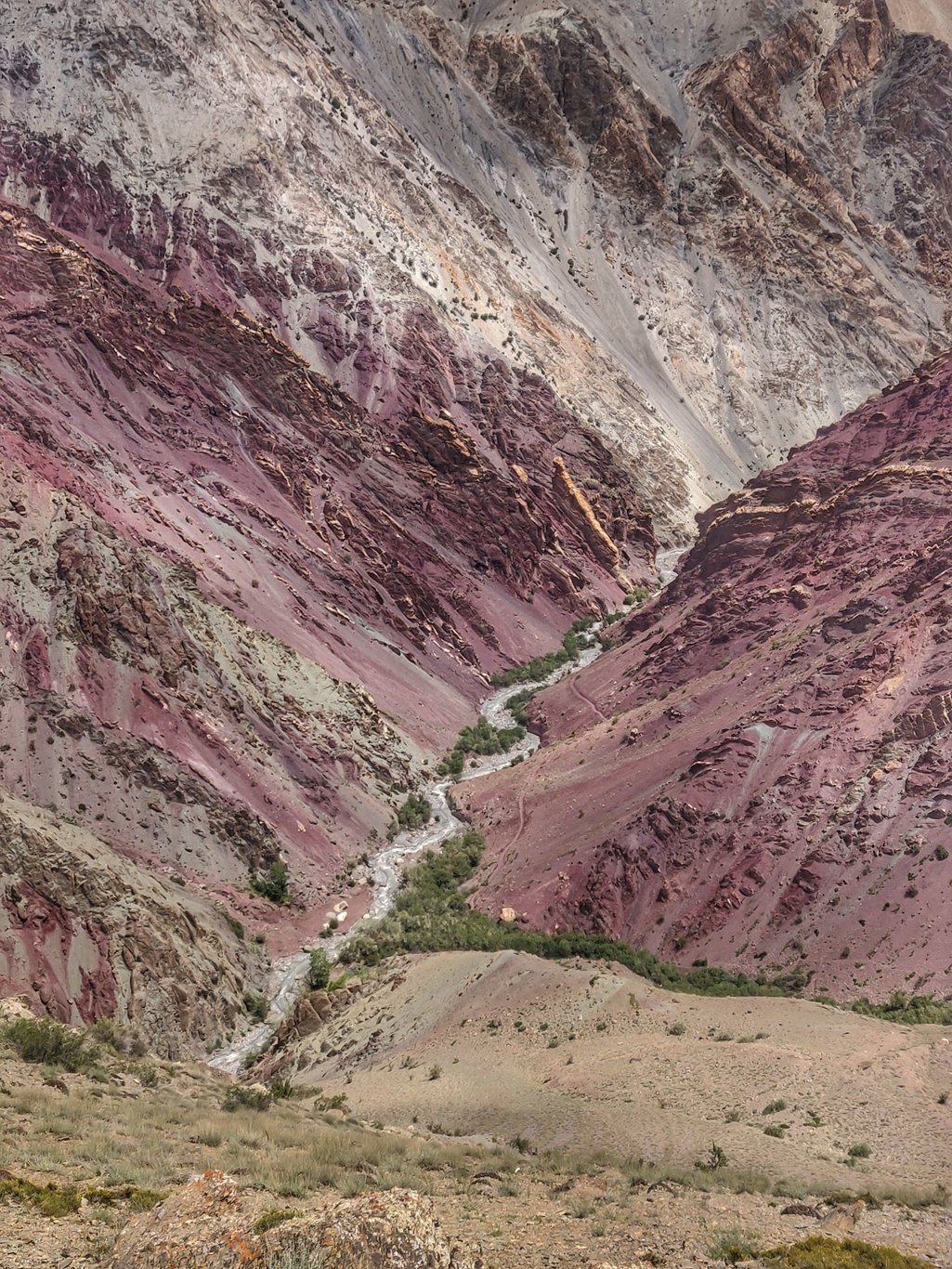 After the ridge pass the trail contours into a side valley towards Lanak, an old abandoned settlement now turned into a beautiful campsite. The area here is surprisingly green even tough only a small stream runs by.
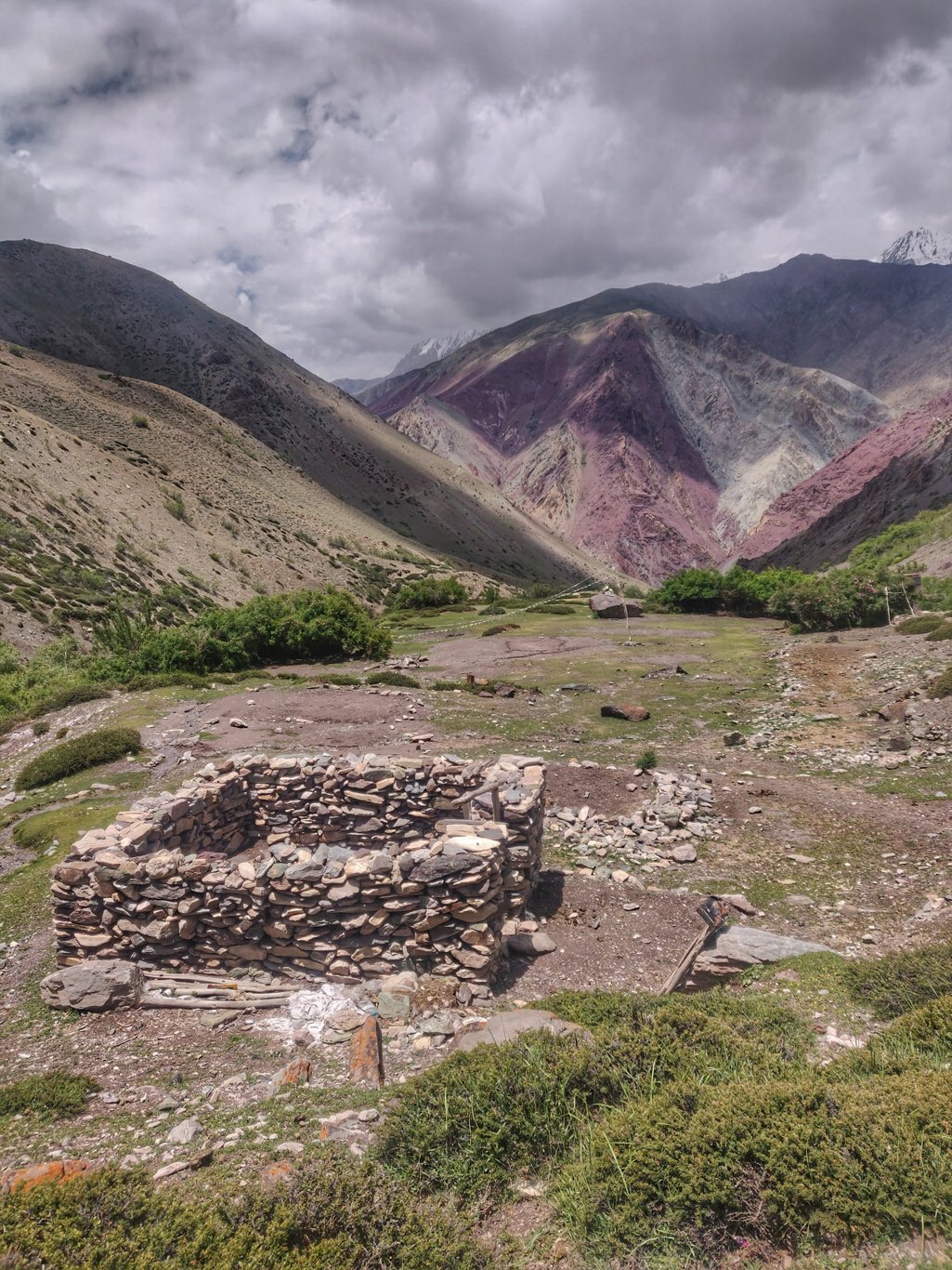 Further up the valley I pass by yet another lonely cattle herder enclosure as I climb gradually towards the Dungduchen La at 4600m entering into the Zanskar river valley.
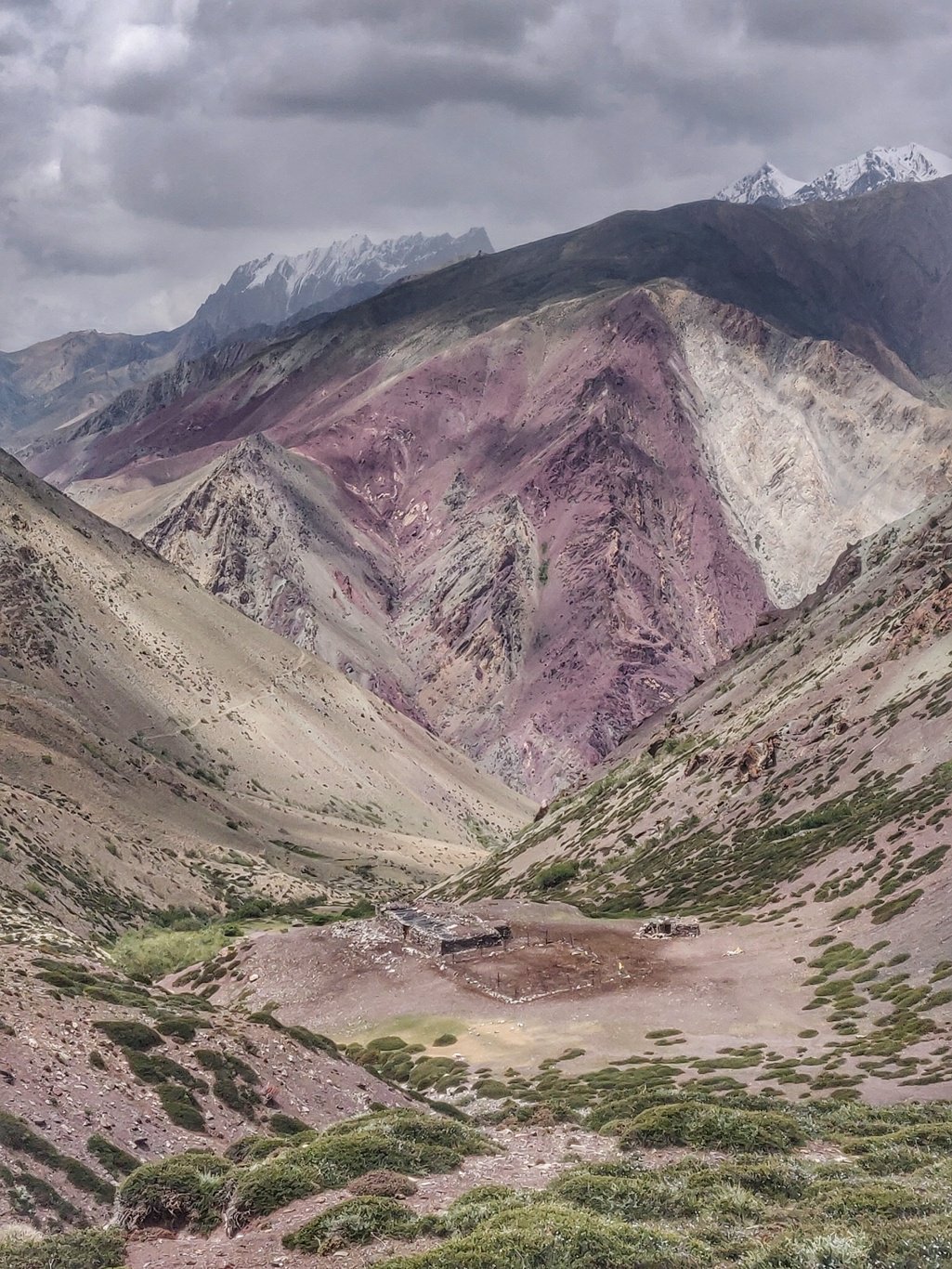 After the pass one gets a view on the Indus valley (confluence with Zanskar) far away below the snow peaks beyond which the Nubra valley lies. The trail contours left towards the confluence of Zanskar and Markha rivers.
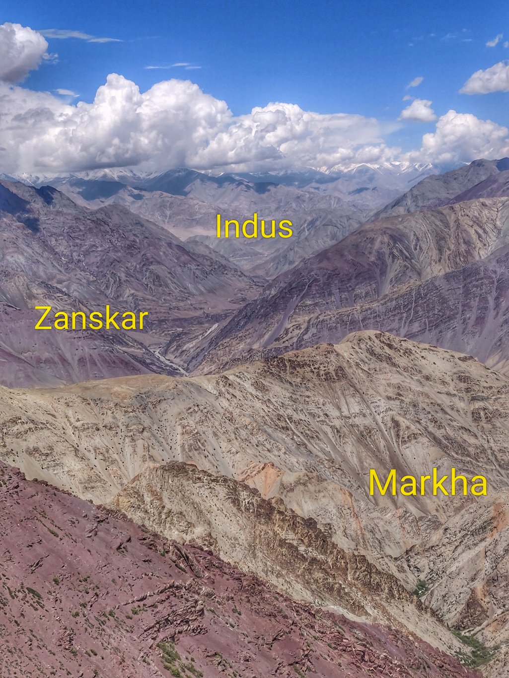 The trail finally drops down towards Chilling at 3200m through a side valley which turns into a narrow gorge as the stream cuts into the landscape. The trail keeps hopping left and right of this small forceful meltwater stream until it reaches Chilling.
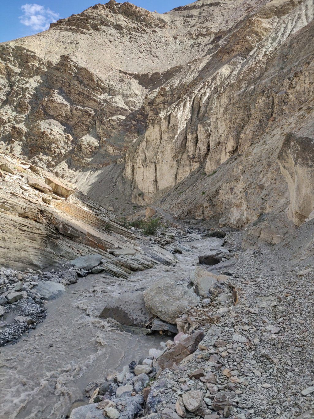 Chilling a small green hamlet on the banks of the Zanskar river. I drop into the one shop where I order Maggie with eggs as early dinner and pack up a few more biscuits as I head towards the Markha valley.BRO workers are building a two lane highway along the Zanskar river connecting Leh with Padum. This shortcut should bring in more tourism into Zanskar which otherwise requires long travel through Kargil. Maintaining a wide road in this highly erosive landscape will require regular clearing of landslides.
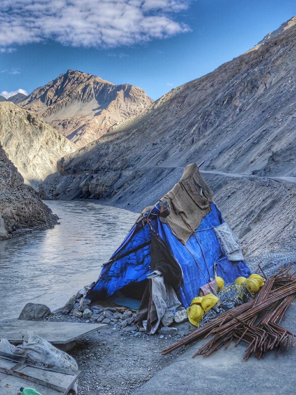 Further down I meet an entire army of BRO workers which are stationed here to finish the highway at a rapid pace during the summer months. A similar army near Padum was busy building the road from the Zanskar side.
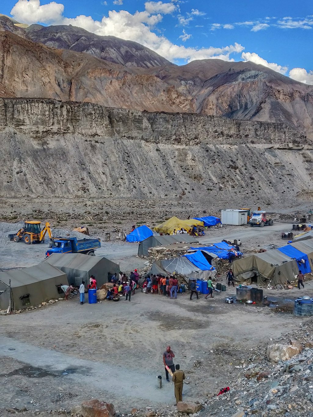 I finally cross a bridge across the Zanskar river to enter the Markha valley. At first sight the valley appears a complete barren landscspe. I hike upstream along the road for about 5km to the first lush green hamlet of Kaya.
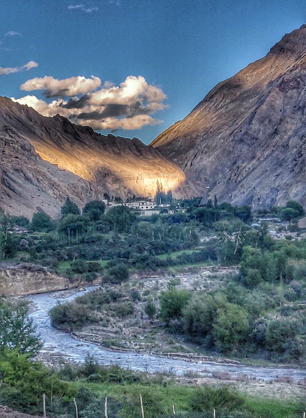 I reach the peaceful hamlet later in the evening and settle down in the enclosure of the gompa. I find a power socket to recharge my power bank and phone. Power is obtained from a nearby solar farm. I have dinner and catch up with 4 days of pending blogging before I sleep off on the portico below a full rising moon around midnight.
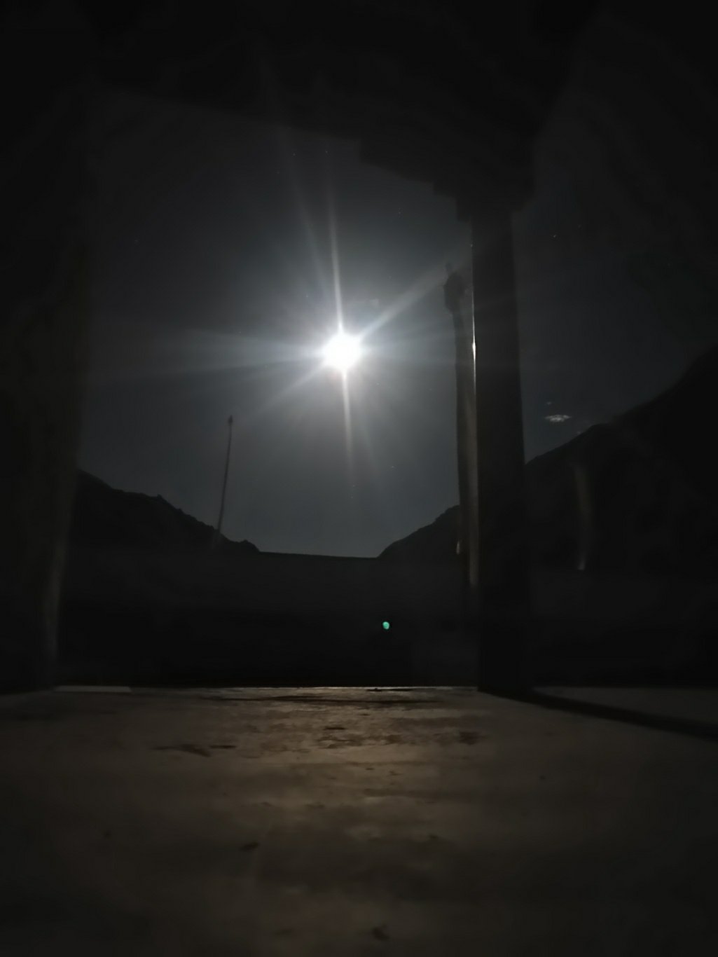

Posts
Copyright © 2019 UltraJourneys - Supported by dreams