
Today s target was a big loop through the lush green mountains West of Gopwshwar. I woke up at day break in my Bluebolt solo tent on a big empty farmland just outside Gopeshwar. I packed up and headed towards the taxi stand for breakfast before leaving town. I gobbled up a yummy aloo paratha with egg Curry and packed up another for the day ahead.
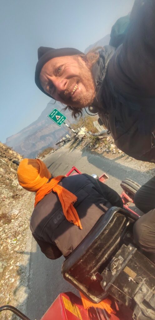
I started walking along the peaceful ghat road towards Mandal a small hamlet at the base of the pass leading to Gupta and Okimath. I got a ride on a tractor, the owner who was the responsible contractor for this road section. The friendly gentleman dropped me halfway. After that another two car rides and I reached my destination for the start of my trek.
I stepped of the road onto a beautiful old rock path leading up to the pass into the Nandakini river valley flowing from Kedarnath. To my surprise the cobbled rock path took me through a lush green virgin jungle. The path seemed hardly used as people were commuting via the hair pin road. The path was covered by green moss in this dense forest. No one around.
It was a good 1200m climb from Mandal to the pass at 2700m altitude. The road continues further towards Gupta at the base of the famous Tungnath temple. I took a U turn along the road and immediately hopped into another path that lead me to the opposite side of the mountain. The rock path contoured through beautiful forest before dropping down to an isolated dwelling in the meadows below.
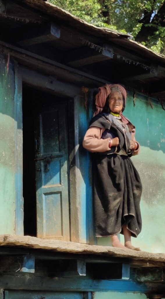
The descend into the valley continued to the hamlet of Nauli where it started contouring East along the valley slope passing through various beautiful hamlets Nail, Kaulinda and Kolgam. A new road was under construction connecting these hamlets to the outside world. I passed through s local cricket tournament on my way.
At a small clear stream I settled down to eat lunch – a delicious aloo paratha with egg curry – and clean my socks hanging them to dry on my backpack under the pleasant warm sun. near Kolgam I lost track of the Survey mapped trail until a local man put me back on track. The path now hair pins up steeply to cross the ridge above into an uninhabited valley covered by beautiful pine forest.
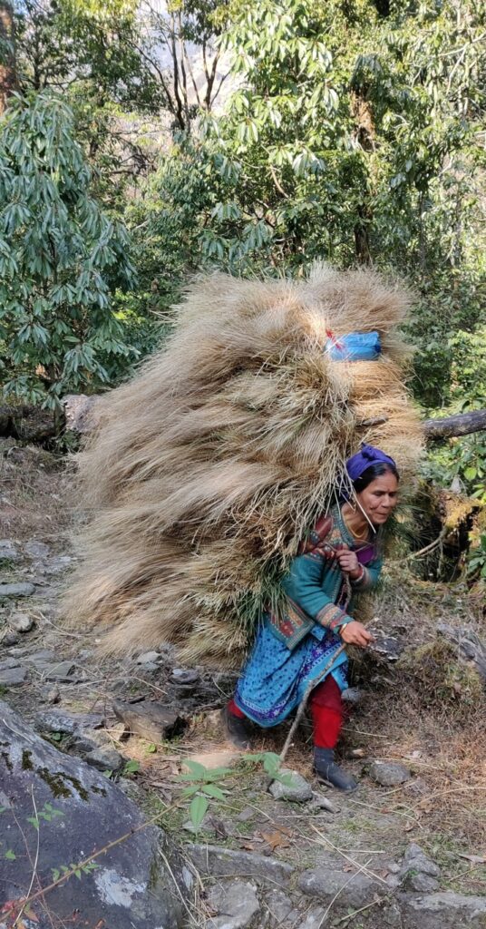
From the ridge the trail contours high above the virgin valley with mesmerizing views on the pine forest below lit up by the afternoon sun. The path is clear but infrequently used. Periodic sheep droppings reveal shepherds using the trail during summers to graze the meadows above. After a long contour the trail crosses another ridge into a valley with several small hamlets.
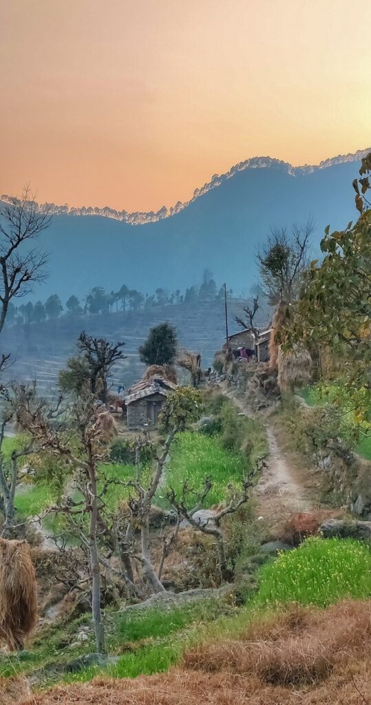
I pass by an ancient temple where a local shepherd is grazing his sheep. From here the path drops down into the valley to the road side village of Sitola. I pick up some fruits and snacks from a local shop. I leave the road again following a nice path into the valley below flowing towards the main Alaknanda river valley. With little daylight left and still a good 5km flight distance to go I pick up the pace.
The path gets me to a nice little temple above the stream. From here things get messy. The trail descends to the stream and is destroyed by landslides. I continue downstream switching sides wherever I see remains of a path. Darkness falls and it becomes more difficult to stay on track. After getting stuck here and there I finally hit the main valley.
I cross a hanging bridge across the Alaknanda river to Mathyana, a village along the Gopeshwar highway. After a 30km / 1700m D+ long hike I go in search for a nearby dhaba to have dinner. 6 cream rolls and two paneer paratha s do the trick to restore the lost calories. I pitch up my tent on a flat space above the highway catching up with two days of pending blogging.
Trans Hima 2020 – 63 Mandal to Mathyana Today s target was a big loop through the lush green mountains West of…
Posted by Peter Van Geit on Saturday, 13 February 2021