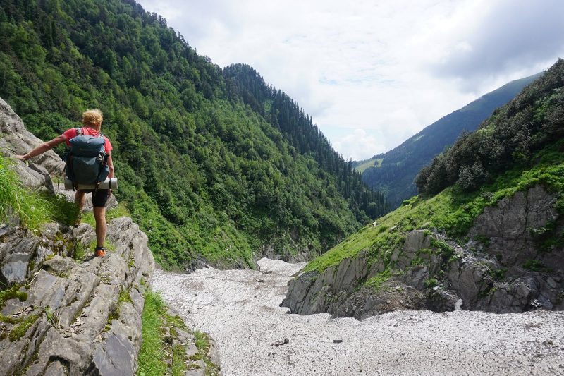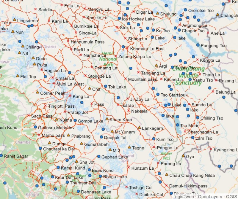
Peter Van Geit had planned spend six months this year fast hiking 5,000km and exploring new passes across the Indian Himalaya. After the pandemic hit, foiling his plans, he started a new project — creating detailed hiking maps of the area.

Two years ago, Van Geit started consolidating hiking trails and passes from various sources. Combining this with knowledge gained from his own Himalayan explorations, he created a centralized repository of topographic information for the Indian Himalaya. “One of the reasons very few hikers head to the Indian Himalaya is the absence of good, detailed hiking maps, compared to, say, Nepal or the European Alps,” he says. “Most of the Western Himalaya are undocumented, despite a vast, beautiful trail network.”
Read the full interview on ExplorersWeb
