Open Street Maps based exploration of the Himalayas
See also Part 1 – Using JOSM and adding Hamlets This short tutorial illustrates the steps to create a new…
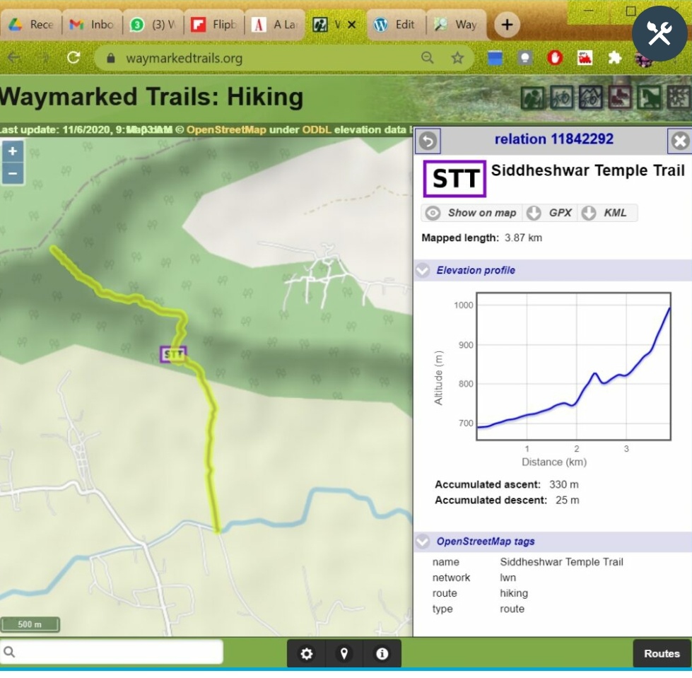
See also Part 2 – Mapping Hiking Routes The Western Indian Himalayas are a true hiking paradise. Unfortunately they are…
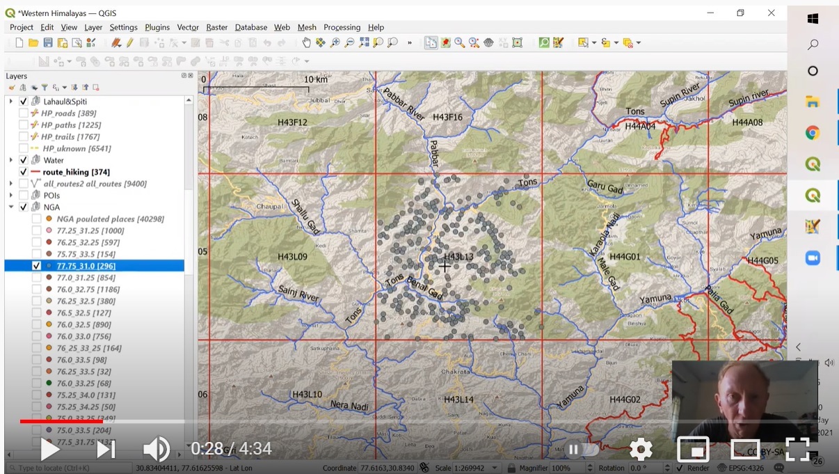
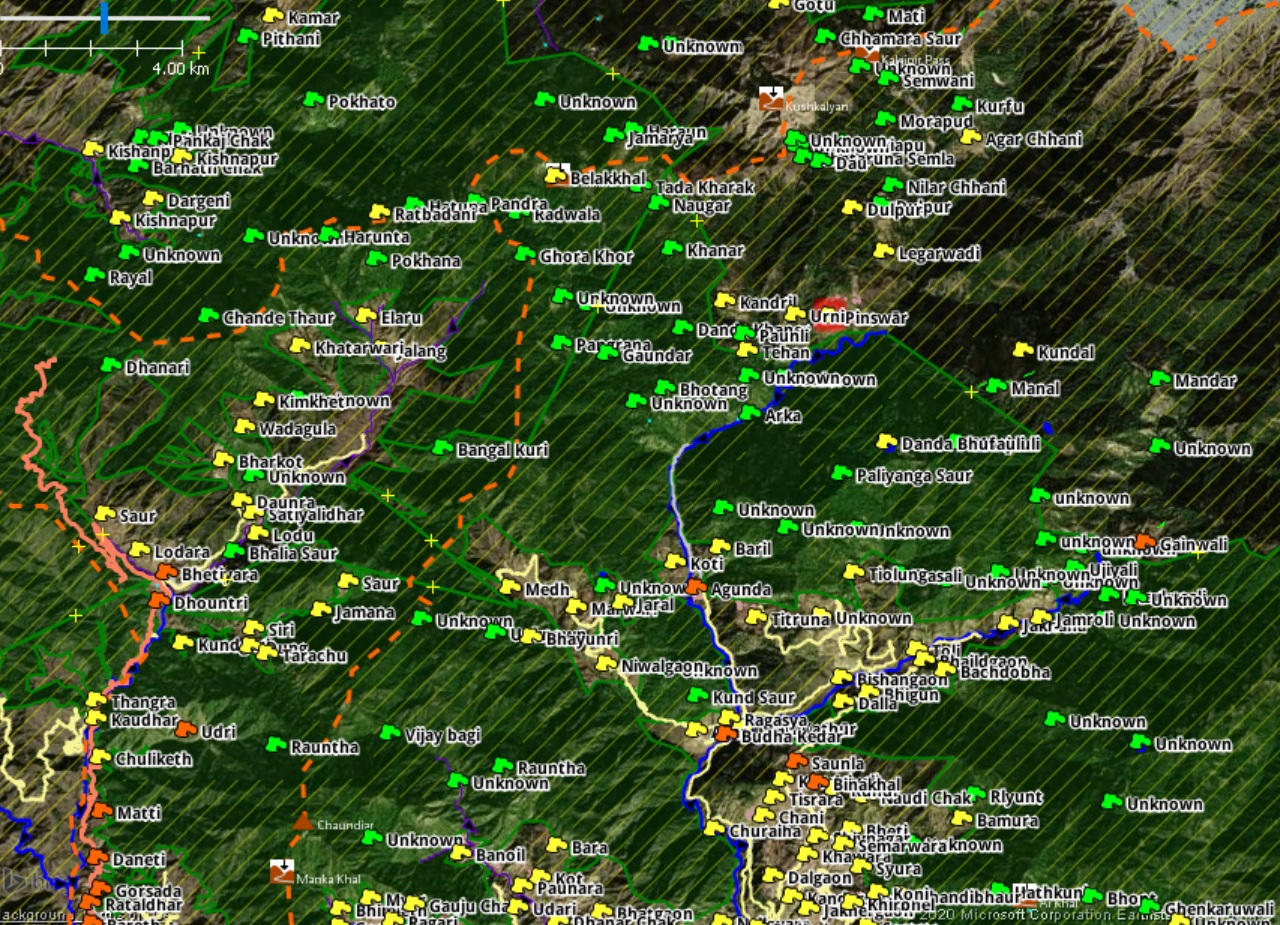
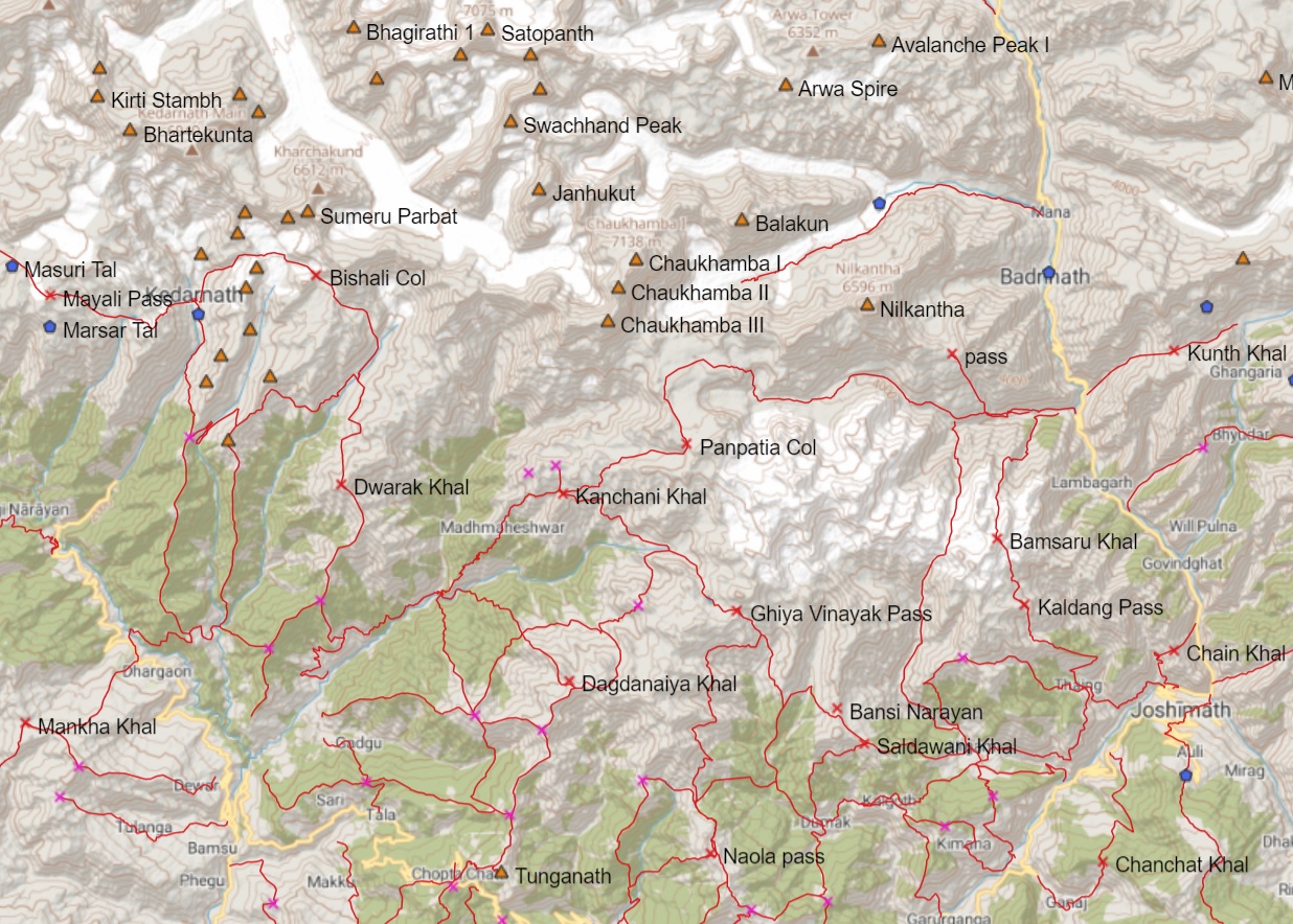
During the 2020 lockdown myself and a few volunteers mapped the Indian Western Himalayas in detail. We mapped 2800 passes,…
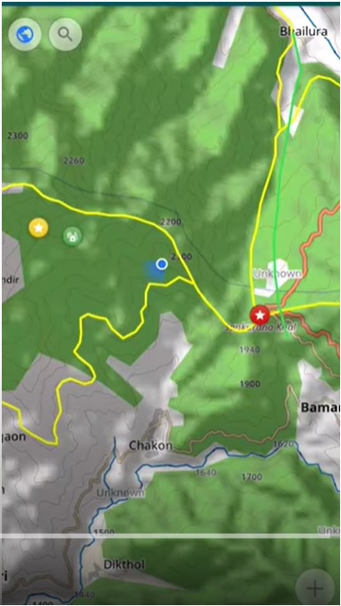
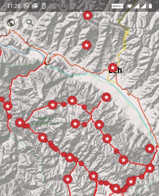
We will be using the OSMAnd mobile app for offline maps and navigation during the journey. It is a mobile viewer for…

