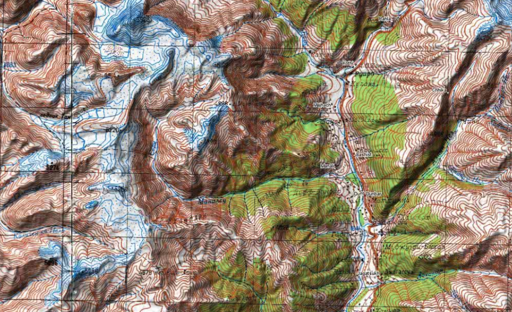
During the cold war the Soviet military secretly mapped the entire world using detailed topographic maps. Although the focus was on US and Europe, much of Asia was also mapped in 1:100K and 1:200K scale maps. The topographic accuracy of these manually cartographed maps is impressive when comparing to modern day satellite generated using digital elevation models.
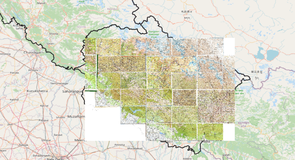
For the outdoor community, the Soviet topographic maps of the Western Himalayas include useful terrain features including many high passes and trails across high ranges. Find below downloadable and geo-referenced (useful for offline navigation) 1:100K Soviet topographic maps covering the Western Himalayas:
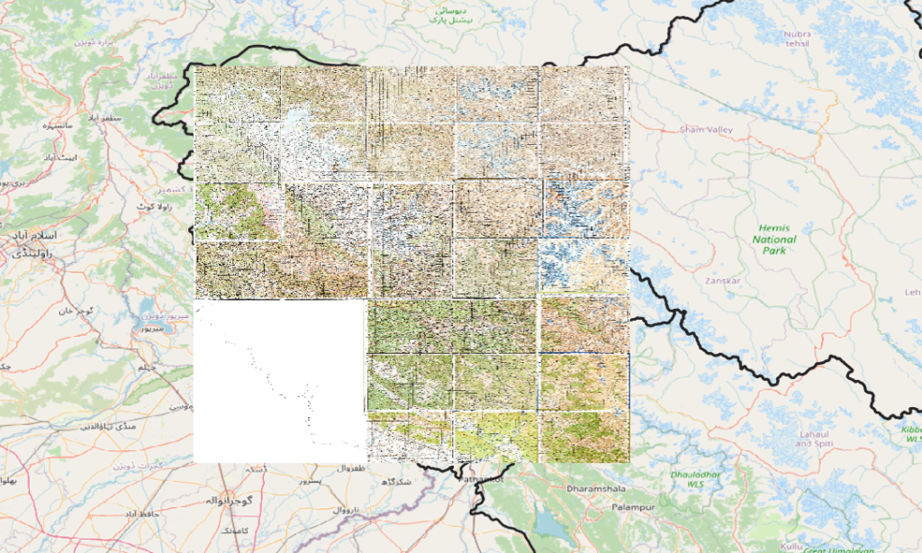
Himachal
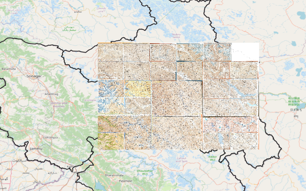
Ladakh
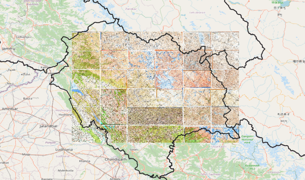
Uttarakhand
Jammu & Kashmir