
Open Street Maps. The de-facto maps for the international outdoor community. How to get started with OSM, traverse planning & navigation, how map the Himalayan geography, mountain passes, settlements and hiking routes. With offline maps, contours and 12 thousand kilometers of hiking routes OSM is the preferred choice for independent hikers.
Himalayan Maps provide a blueprint for the independent hiker to explore the Himalayas. Various types of maps exist which can be used to plan traverses and navigate. Open Street Maps, Survey of India maps, Soviet Military maps, Olizane maps, Satellite maps US Army Map Service maps. How to download various maps and use them for planning and offline navigation.
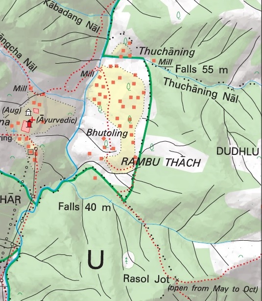
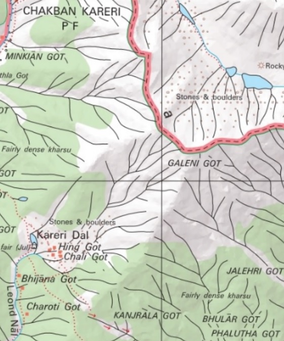
Survey of India. How to download and use SOI Maps for Himalayan traverse planning and navigation. Locating map sheets, geo-referencing maps, digitizing trails, generating offline maps for mobile, online tile servers. Everything you need to know to start using the most detailed maps of the Himalayas.
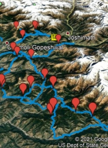
Journey Maps. Find detailed maps on my thousand kilometers long journeys across hundreds of mountain passes across the Western Indian Himalayas, Vietnam, Srilanka. Information on mountain passes, details on individual sections allow you to plan your own traverses.
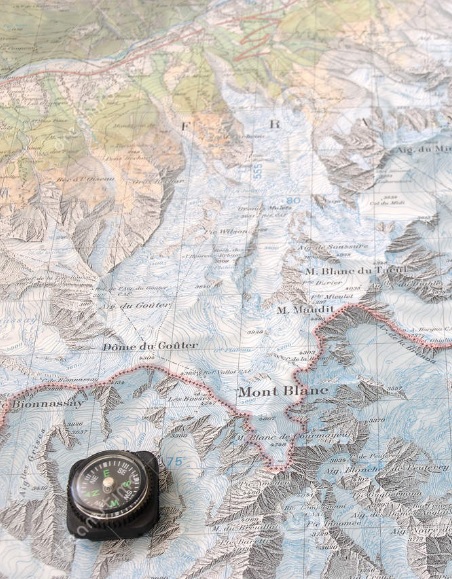
Navigation. Finding your way through the wilderness. Various techniques to navigate your way across the topography of the mountains – GPS, geo-referenced maps, contours, topographic map reference, compass, etc.
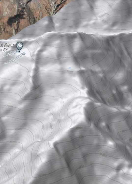
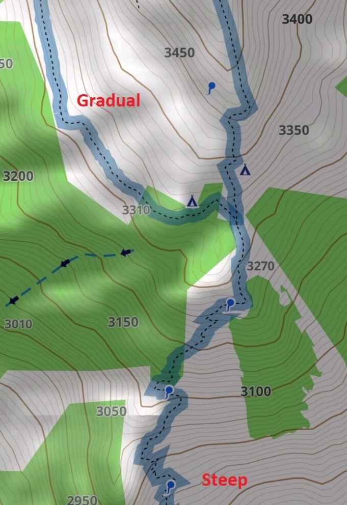
Topography. Learn about the geography of the Himalayas. Understand topography and contours which are fundamental to plan your traverses in the Himalayas and navigate your way through the mountains. Identify terrain features like peaks, ridges, valleys and saddles while reading topographic maps.