
Introduction
Traditionally the outdoor community shared popular hiking trails through a number of well known websites (WikiLoc, Ramblr, AllTrails, Strava…) which host large databases of recorded trails. Users can upload GPS recordings as well as download recorded routes which can be used for accurate navigation. Recorded trails (GPX files) can be loaded in most hiking apps or watches for easy offline navigation. Multiple trails can be uploaded for any given route by multiple users.
These traditional web sites have largely been replaced by Open Street Maps, the de-facto maps used by the international outdoor community. For the Western Indian Himalayas more than 700 hiking routes totaling 12 thousand kilometers of beautiful trails have been mapped in OSM which provides a comprehensive overview of hiking networks.
There is no need to download individual hiking trails. Simply download offline OSM maps for entire countries or states for offline navigation in the field. Here is a small tutorial on how to get started in OSM. Many routes available in the legacy hiking websites have been mapped in OSM. Nevertheless find below an overview of the popular legacy websites that host hiking routes databases.
- WikiLoc
- Ramblr
- Strava
- OSM Traces
- OSM Hiking Routes
- Legacy Topo Maps (digitized trails)
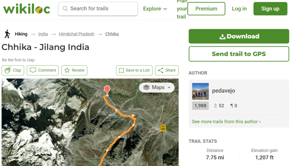
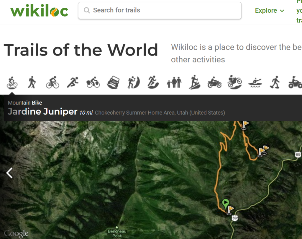
WikiLoc
Wikiloc is a website, launched in 2006 containing GPS trails and waypoints that members have uploaded. This mashup shows the routes in frames showing Google Maps. There are mobile apps for Android and iPhone. The product has more than 11M members, is offered in many languages and has more than 37.9M tracks of dozens of activities (hiking, cycling, sailing, horseback riding, driving, paragliding, and so on) in many countries and territories
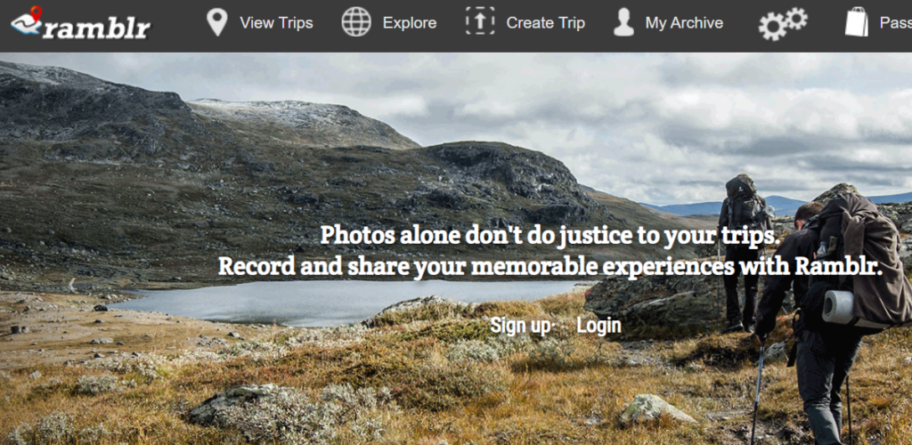
Ramblr
Ramblr is a service to record and share your outdoor activities such as hiking, biking, skiing, kayaking, road trip, travel, or any type of trip. Ramblr lets you see your route on a map with geotagged photos, video, notes along with descriptions, stats and more. The Ramblr app (available for iPhone / Android) can record any of your outdoor activities and after uploading them to Ramblr.com you can share your trips with Facebook, Twitter, Pinterest, shareable links, and HTML.
OSM Traces
Users can upload GPS recordings in OSM called GPS traces. These public traces can be overlaid on the OSM base map. Note that these traces are NOT yet mapped to OSM hiking trails. More information in this post.
OSM Hiking Routes
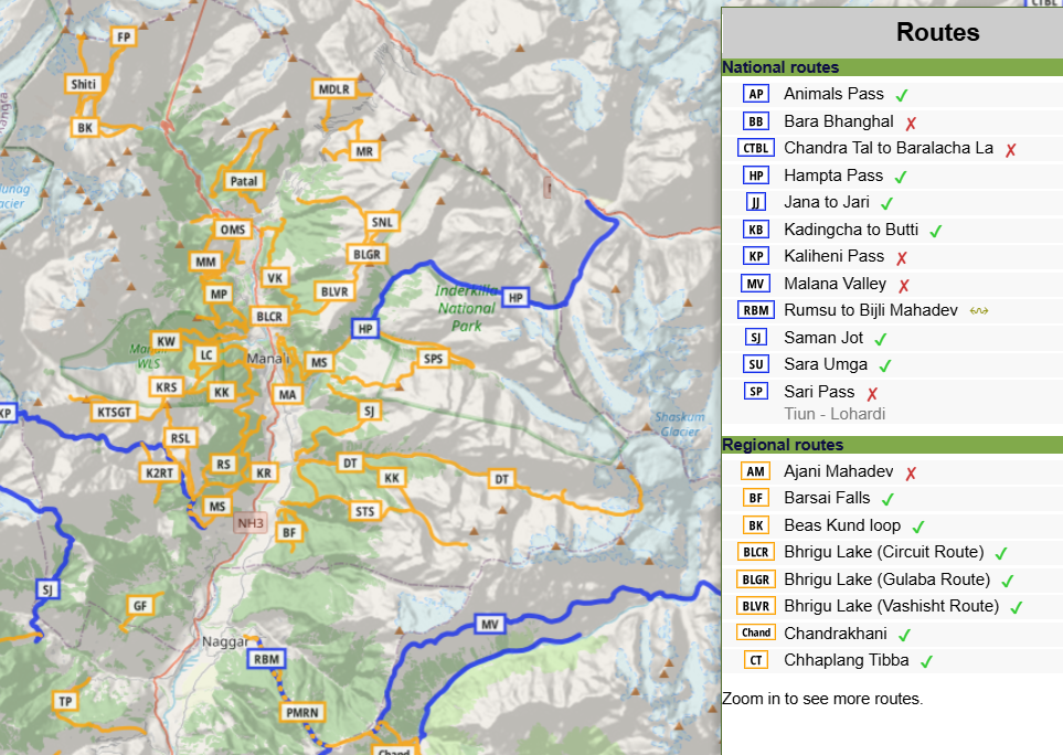
One can easily view and download individual hiking routes from OSM through the Waymarked Hiking Trails website.
Strava
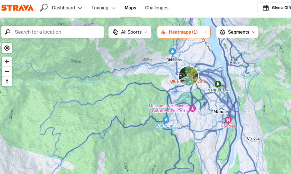
Strava is an American internet service for tracking physical exercise which incorporates social network features. It started out tracking mostly outdoor cycling and running activities using Global Positioning System (GPS) data, but now incorporates several dozen other exercise types, including indoor activities] Strava uses a freemium model with some features only available in the paid subscription plan. Strava Heatmaps show recorded routes (usually via a sports watch) worldwide on a base map:
Legacy Topo Maps
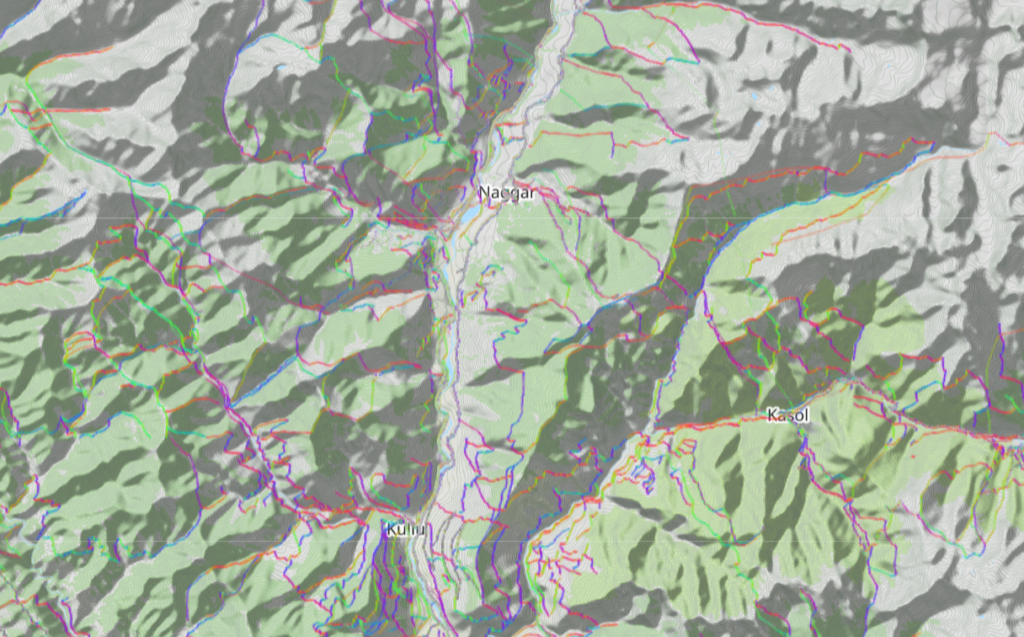
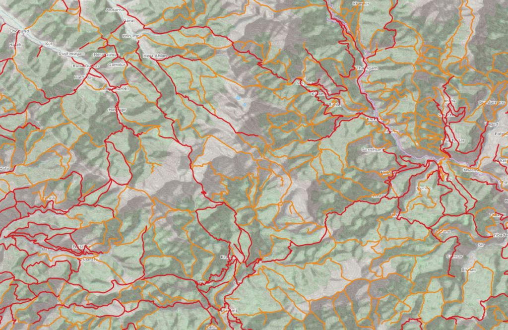
Yet another invaluable source for hiking trails are legacy topo sheets. One can geo-reference legacy maps and digitize trails so they can be used for offline navigation. These trails are of course not as accurate as GPS recorded routes. Still they provide the hiker with an excellent reference to explore new routes. Tens of thousands of kilometers of hiking trails from legacy topo maps have been digitized enabling hikers to explore thousands of lesser known trails.
Become a patreon to get access to thousands of kms of hiking routes across the Western Indian Himalayas.