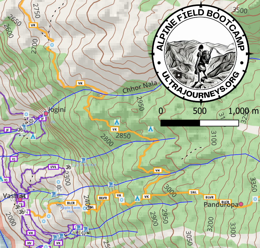
Click below to download a high resolution A3 sized 1:25K scale topographic map of the Manali region showing all hiking routes and outdoor features (streams, villages, campsites, viewpoints, waterfalls, shelters, springs, temples, etc.). The topo map is based on Open Street Maps with shaded relief and a 50m contour interval to show altitude changes. The map can be printed in A3 color for best viewing to plan and navigate your hikes around Manali.
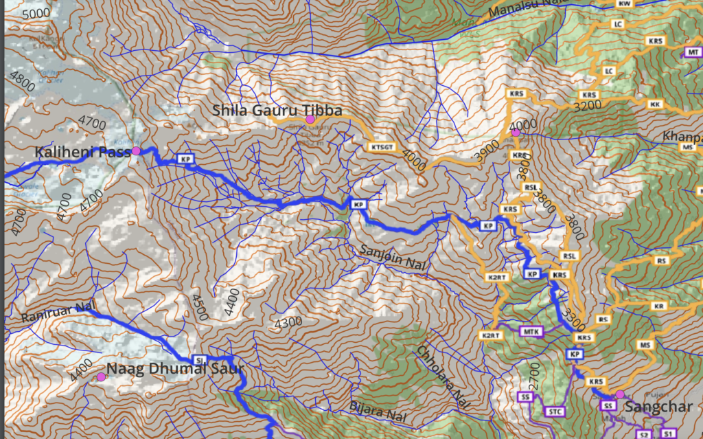
A slighter higher scale 1:120K topographic map of the larger region around Manali showing the topography, major peaks, long distance hiking routes on a shaded 100m contour map. This 150dpi topographic map can be printed on A3 size giving an excellent overview of the region.