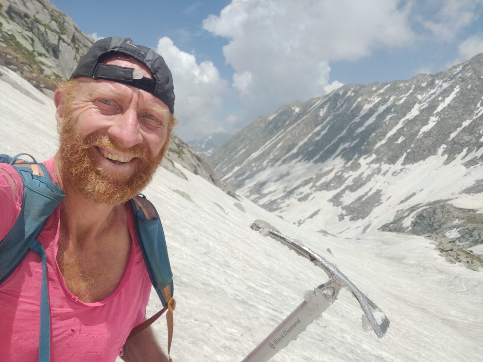
My name is Peter Van Geit, born in Belgium, settled in India in 1998. I worked 20 years as a…

My name is Peter Van Geit, born in Belgium, settled in India in 1998. I worked 20 years as a…
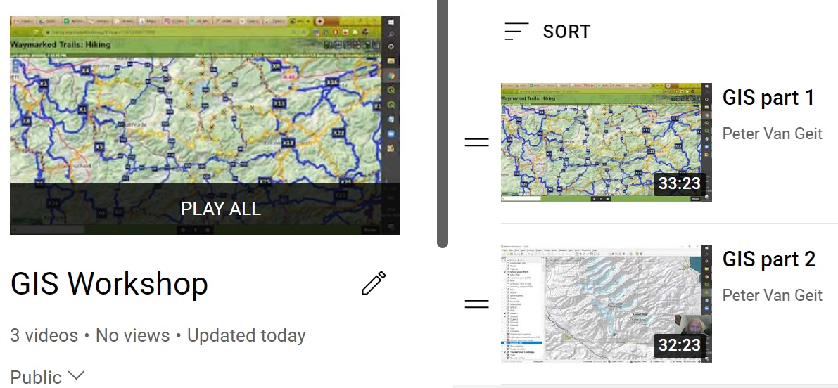
Open Street MapsData modelViewers, OpenTopo, Thunderforest, EditorsHiking – waymarked trails, brouter.deMobile apps, OSMAndHiking RoutesGeo-coding waypoints, trails, GPXElevation profileBlogs, Wikiloc, Ramblr,…
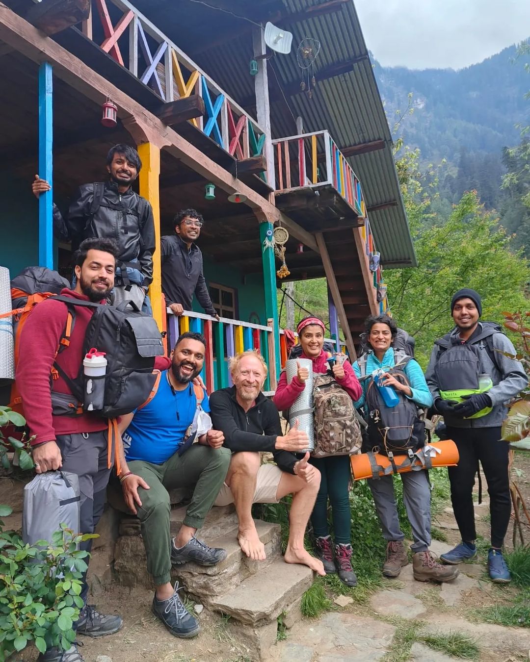
Stories over here Memories View this post on Instagram A post shared by Peter Van Geit (@petervangeit) View this post…
This online course consolidates my extensive alpine hiking experience exploring more than 300 high passes across the Western Himalayas. 50+…
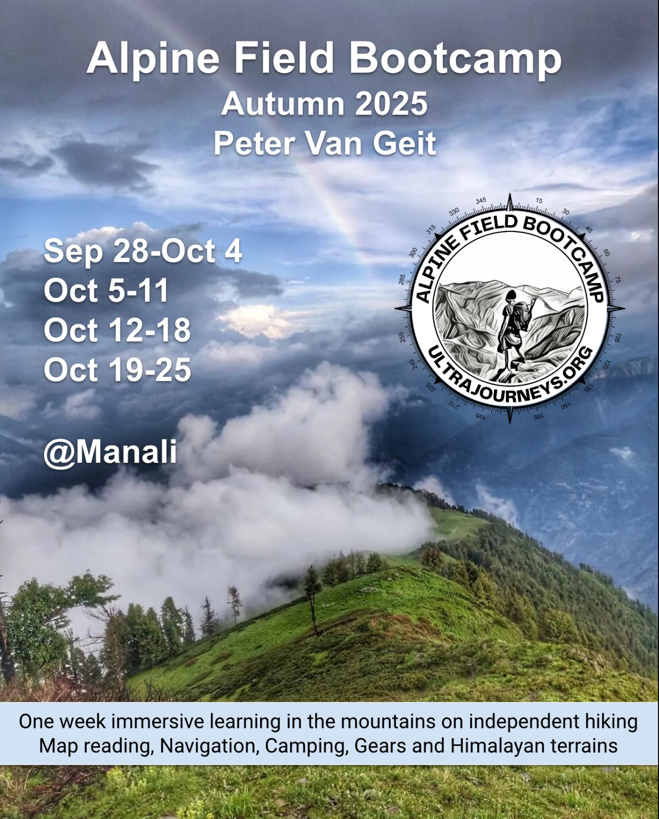
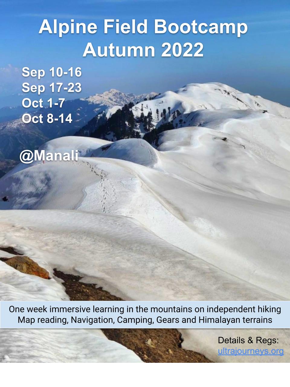
Spring 2025 – Full Autumn 2025 – Register here The Alpine Field Bootcamp at Manali is a one week experiential…
In this module we will correlate Hiking Routes downloaded from Open Street Maps with various Himalayan terrains and features. We…
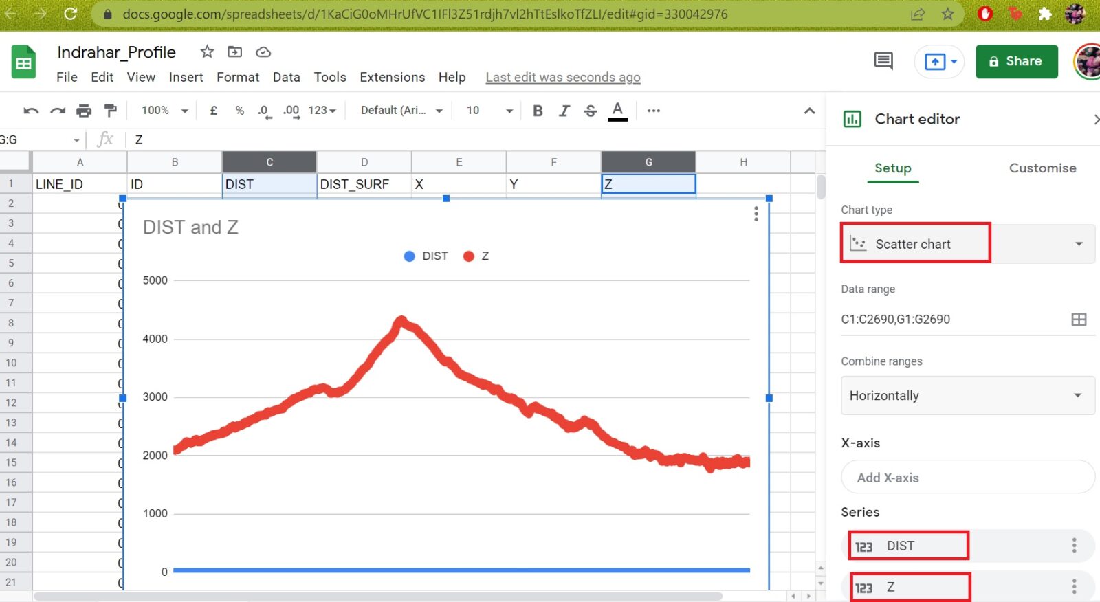
In this module we will play around with various metrics for Hiking Routes downloaded from Open Street Maps. Distance, route…
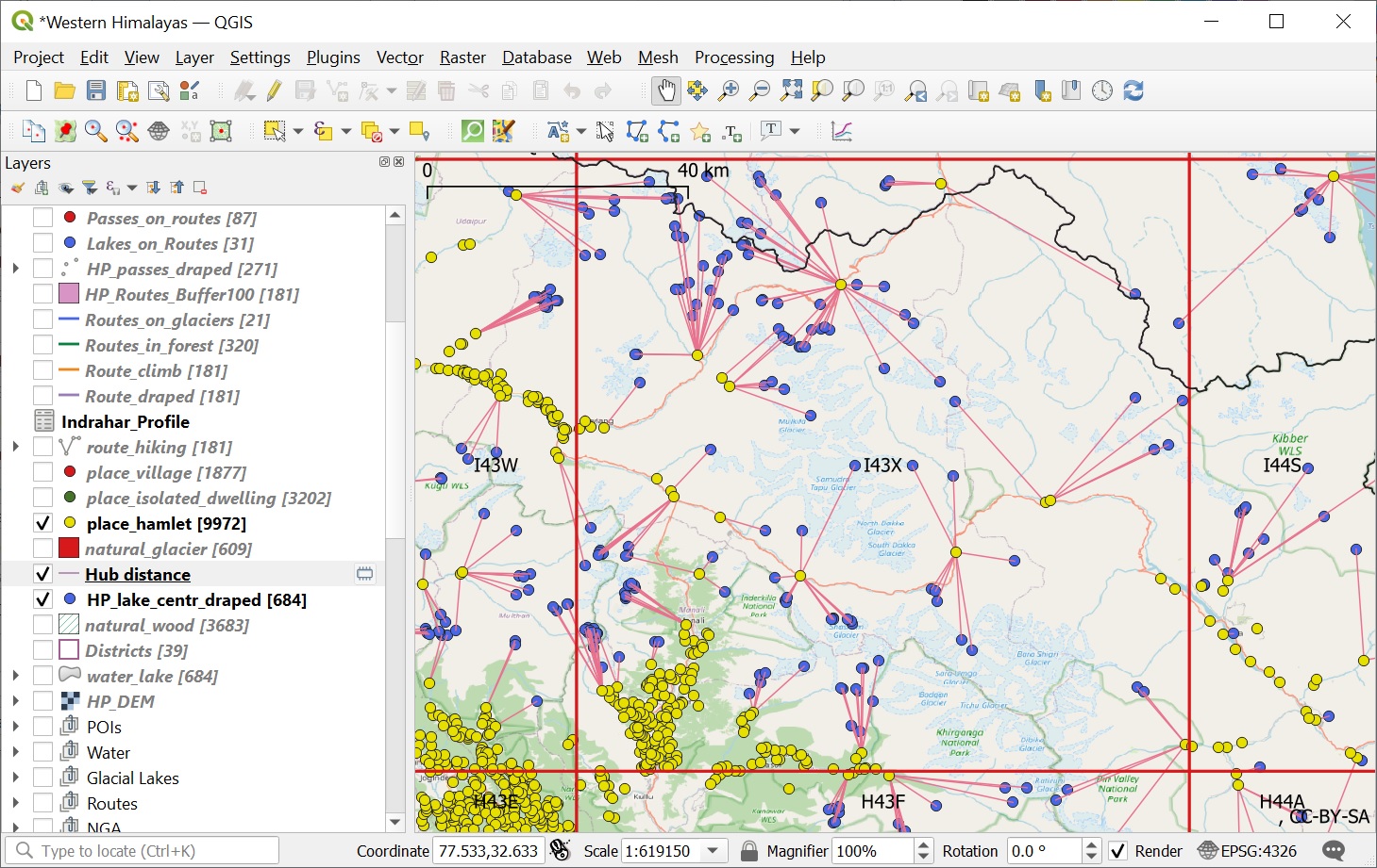
Let’s take a closer on the distribution / proximity of settlements with respect to forest regions. Download “natural” = “wood”…
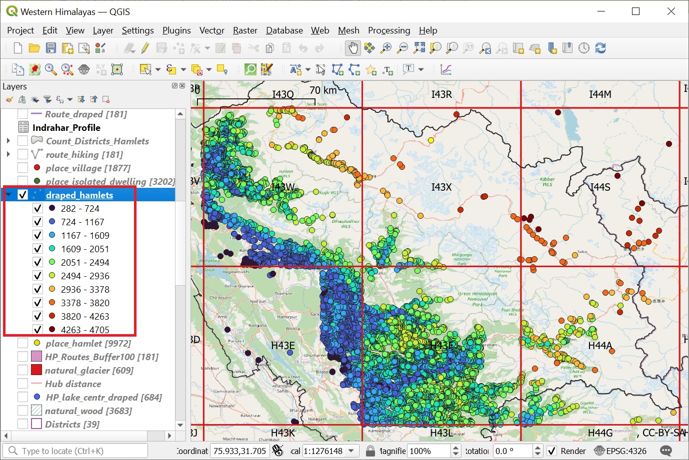
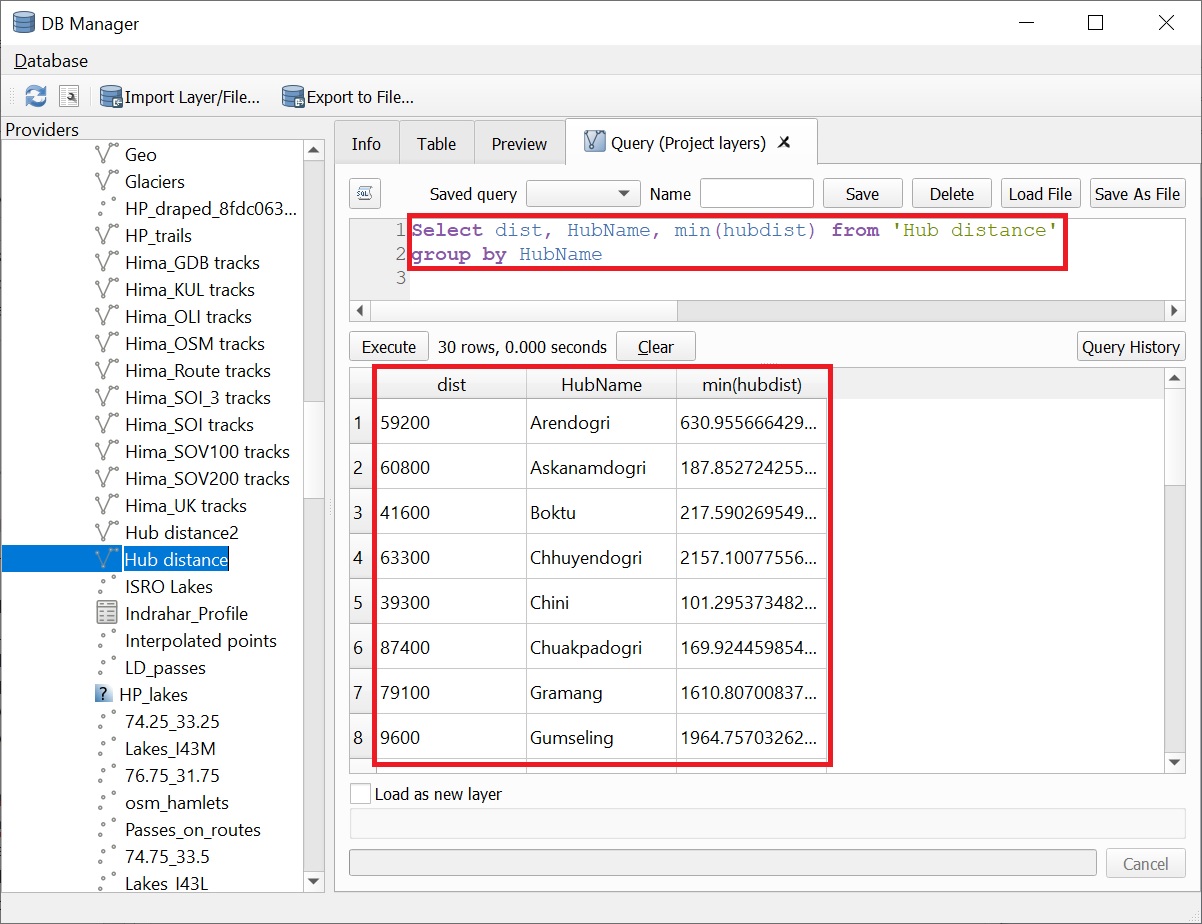
In this module we will download human settlements for the Himachal region from Open Street Maps and play around with…
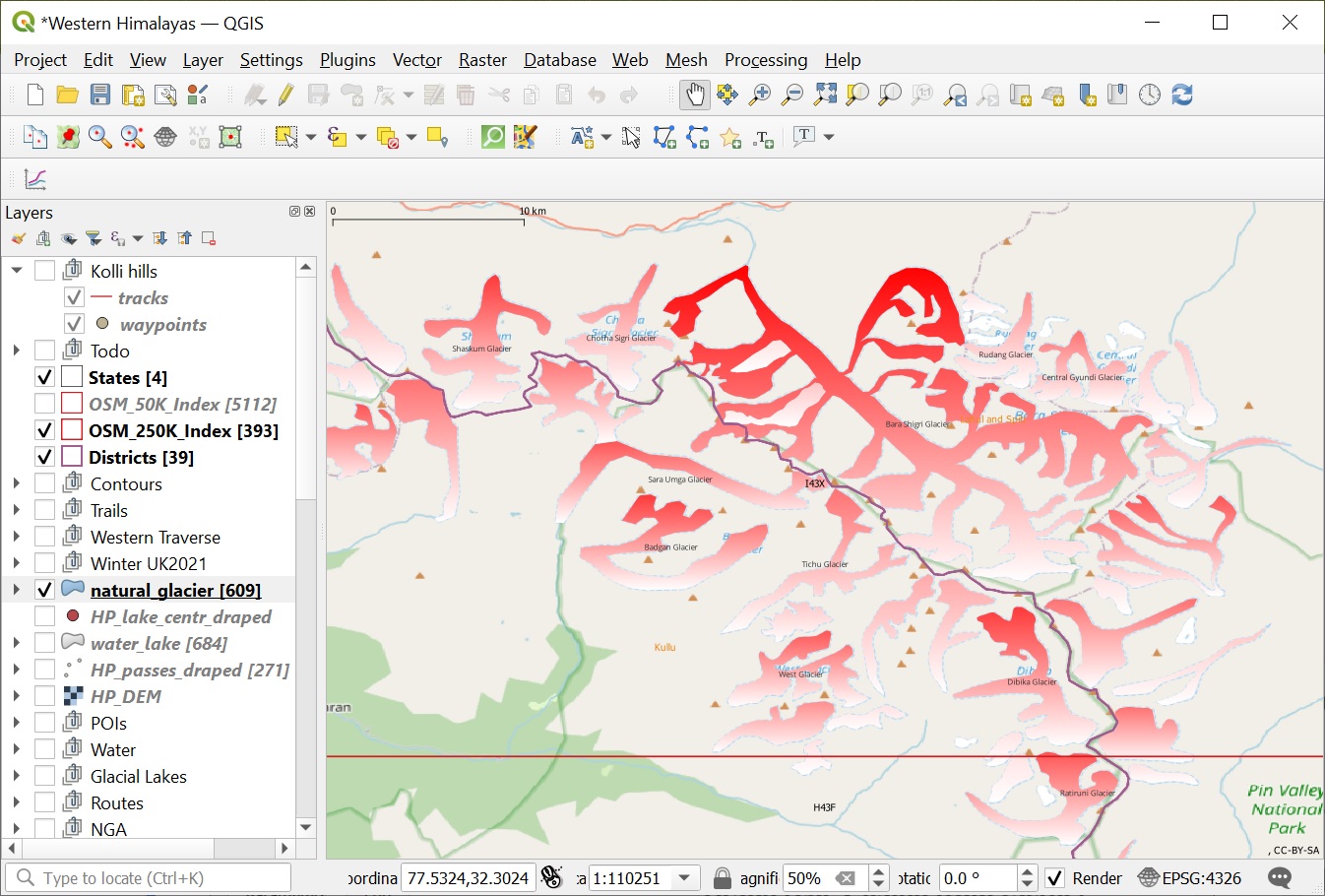
In this module we will play around with visualizations of Himalayan lakes and glaciers downloaded from Open Street Maps. Lakes…